Cowling Hill
Hill, Mountain in Yorkshire Richmondshire
England
Cowling Hill
Cowling Hill is a prominent hill located in the Craven district of North Yorkshire, England. Situated within the Yorkshire Dales National Park, it forms part of the Pennine range and stands at an elevation of 402 meters (1,319 feet) above sea level. The hill is located near the village of Cowling, and its distinctive shape and height make it a notable landmark in the area.
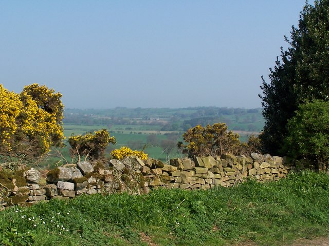
Covered in lush greenery and dotted with scattered rocks, Cowling Hill offers breathtaking panoramic views of the surrounding countryside. On a clear day, one can see the sprawling valleys, rolling hills, and picturesque villages that make up the Yorkshire Dales. The hill is a popular destination for walkers, hikers, and nature enthusiasts, who are drawn to its natural beauty and tranquility.
The hill is known for its rich biodiversity and provides a habitat for various flora and fauna. It is home to a variety of bird species, including the Eurasian curlew, which is known for its distinctive call. Additionally, rare wildflowers and plants can be found on the hill, adding to its ecological significance.
Cowling Hill is easily accessible, with several footpaths and trails leading to its summit. One of the most popular routes is the Pennine Way, a long-distance footpath that passes through the area. Visitors can enjoy a leisurely walk or a more challenging hike, depending on their preferences and fitness levels.
Overall, Cowling Hill is a natural gem in the Yorkshire Dales, offering visitors a chance to immerse themselves in the beauty of the English countryside while enjoying stunning vistas and observing the local wildlife.
If you have any feedback on the listing, please let us know in the comments section below.
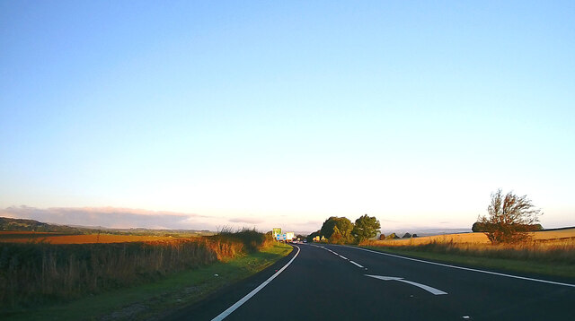
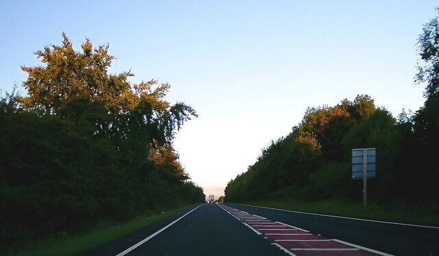
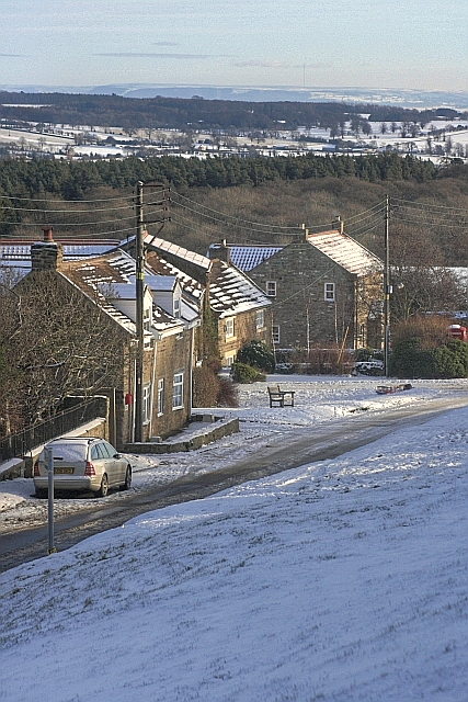
Cowling Hill Images
Images are sourced within 2km of 54.475472/-1.7988933 or Grid Reference NZ1308. Thanks to Geograph Open Source API. All images are credited.


Cowling Hill is located at Grid Ref: NZ1308 (Lat: 54.475472, Lng: -1.7988933)
Division: North Riding
Administrative County: North Yorkshire
District: Richmondshire
Police Authority: North Yorkshire
What 3 Words
///disposing.clasps.handbag. Near Hutton Magna, Co. Durham
Nearby Locations
Related Wikis

West Layton
West Layton is a village and civil parish in the Richmondshire district of North Yorkshire, England, close to the border with County Durham and a few miles...

Ravensworth
Ravensworth is a village and civil parish in the Holmedale valley, within the Richmondshire district of North Yorkshire, England. It is approximately...

Gayles, North Yorkshire
Gayles is a village and civil parish in the Richmondshire district of North Yorkshire, England. Gayles is established in the district ward of Gilling West...

Dalton, west North Yorkshire
Dalton is a village and civil parish in North Yorkshire in England. Dalton is situated about six miles north-west of Richmond and about five miles south...

Ravensworth Castle (North Yorkshire)
Ravensworth Castle is a ruined 14th-century castle in the village of Ravensworth, North Yorkshire, England. It has been designated a Grade I listed building...

Kirby Hill, Richmondshire
Kirby Hill, historically also known as Kirby-on-the-Hill, is a village and civil parish in the Richmondshire district of North Yorkshire, England. The...

Newsham, Richmondshire
Newsham is a village and civil parish in the Richmondshire district of North Yorkshire, England. The village is 8 miles (13 km) north west of Richmond...
Whashton
Whashton is a village and civil parish in the Richmondshire district of North Yorkshire, England. == History == The name is of an uncertain origin and...
Nearby Amenities
Located within 500m of 54.475472,-1.7988933Have you been to Cowling Hill?
Leave your review of Cowling Hill below (or comments, questions and feedback).