Collier Gap
Downs, Moorland in Yorkshire Richmondshire
England
Collier Gap

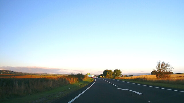
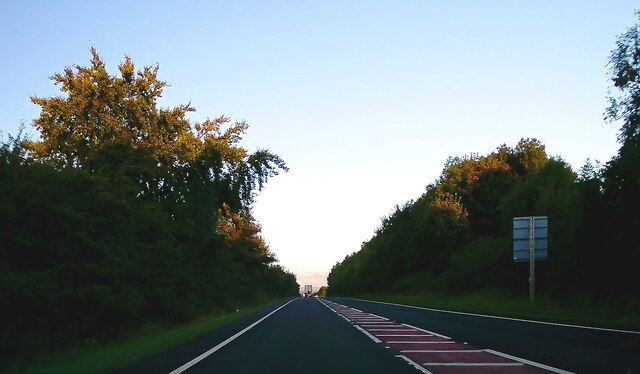
Collier Gap is a picturesque region located in Yorkshire, England, known for its stunning natural beauty and diverse landscapes, including downs and moorland. Situated in the heart of the Yorkshire Dales National Park, this area attracts visitors from around the world who come to immerse themselves in its breathtaking surroundings.
The downs of Collier Gap offer vast open spaces, characterized by rolling hills and expansive grasslands. Visitors can enjoy leisurely walks, picnics, and take in the panoramic views of the surrounding countryside. The downs are home to a variety of flora and fauna, including wildflowers, grazing sheep, and occasional wildlife sightings.
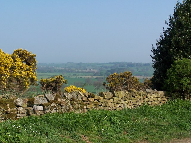
In contrast, the moorland of Collier Gap offers a rugged and wild landscape, with vast stretches of heather-covered hills and peat bogs. Hikers and nature enthusiasts flock to this area to explore its extensive network of walking trails and enjoy the tranquility of the moors. The moorland is also home to unique species of birds, such as red grouse, curlews, and lapwings, making it a haven for birdwatchers.
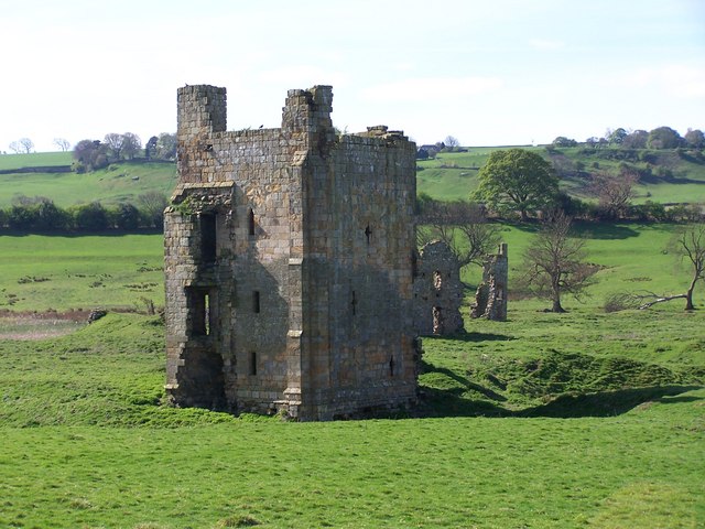
Collier Gap is also rich in history and heritage, with several historical sites and landmarks to explore. The region is dotted with ancient stone circles, remnants of prehistoric settlements, and old mining sites, giving visitors a glimpse into its past.
With its stunning natural landscapes, rich biodiversity, and historical significance, Collier Gap, Yorkshire (Downs, Moorland) offers a haven for nature lovers, hikers, and those seeking a peaceful retreat in the heart of the Yorkshire Dales.
If you have any feedback on the listing, please let us know in the comments section below.
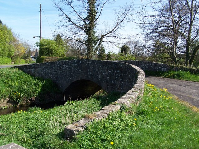
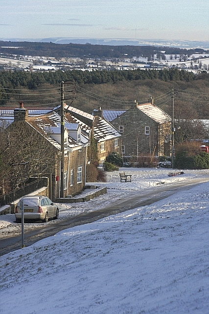
Collier Gap Images
Images are sourced within 2km of 54.474835/-1.788866 or Grid Reference NZ1308. Thanks to Geograph Open Source API. All images are credited.


Collier Gap is located at Grid Ref: NZ1308 (Lat: 54.474835, Lng: -1.788866)
Division: North Riding
Administrative County: North Yorkshire
District: Richmondshire
Police Authority: North Yorkshire
What 3 Words
///sapping.lengthen.acids. Near Hutton Magna, Co. Durham
Nearby Locations
Related Wikis

Ravensworth
Ravensworth is a village and civil parish in the Holmedale valley, within the Richmondshire district of North Yorkshire, England. It is approximately...

West Layton
West Layton is a village and civil parish in the Richmondshire district of North Yorkshire, England, close to the border with County Durham and a few miles...

Ravensworth Castle (North Yorkshire)
Ravensworth Castle is a ruined 14th-century castle in the village of Ravensworth, North Yorkshire, England. It has been designated a Grade I listed building...

Gayles, North Yorkshire
Gayles is a village and civil parish in the Richmondshire district of North Yorkshire, England. Gayles is established in the district ward of Gilling West...

Kirby Hill, Richmondshire
Kirby Hill, historically also known as Kirby-on-the-Hill, is a village and civil parish in the Richmondshire district of North Yorkshire, England. The...

Dalton, west North Yorkshire
Dalton is a village and civil parish in North Yorkshire in England. Dalton is situated about six miles north-west of Richmond and about five miles south...

East Layton
East Layton is a village and civil parish in the Richmondshire district of North Yorkshire, England, close to the border with County Durham and a few miles...
Whashton
Whashton is a village and civil parish in the Richmondshire district of North Yorkshire, England. == History == The name is of an uncertain origin and...
Have you been to Collier Gap?
Leave your review of Collier Gap below (or comments, questions and feedback).