Broadclose Plantation
Wood, Forest in Yorkshire Richmondshire
England
Broadclose Plantation
Broadclose Plantation is a woodland area located in Yorkshire, England. Situated within the broader context of the Yorkshire Dales National Park, this plantation is known for its picturesque beauty and diverse range of flora and fauna.
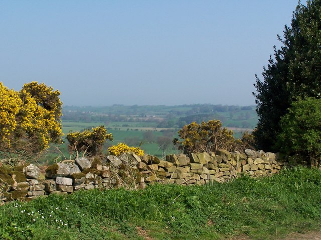
Covering an area of approximately 100 hectares, Broadclose Plantation consists primarily of deciduous trees such as oak, birch, and beech, which create a stunning display of colors during the autumn months. The woodland floor is adorned with a vibrant carpet of bluebells and wildflowers in the spring, making it an ideal spot for nature enthusiasts and photographers alike.
The plantation is home to a variety of wildlife species, including red squirrels, badgers, and a wide range of bird species. Birdwatchers can often spot woodpeckers, jays, and nuthatches among the treetops. The woodland also provides a habitat for several rare plant species, making it an important site for conservation efforts.
Visitors to Broadclose Plantation can enjoy a network of well-maintained walking trails, allowing them to explore the woodland at their own pace. These trails provide opportunities for leisurely walks, picnics, and nature observation. Additionally, the plantation offers facilities such as picnic areas and parking spaces, ensuring a comfortable experience for visitors.
Broadclose Plantation is a tranquil and beautiful destination for those seeking a peaceful escape in the heart of Yorkshire. With its stunning scenery, rich biodiversity, and well-designed trails, it offers a delightful experience for nature lovers and outdoor enthusiasts of all ages.
If you have any feedback on the listing, please let us know in the comments section below.
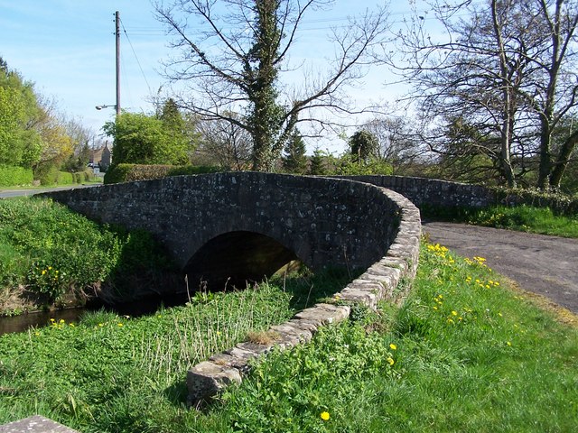
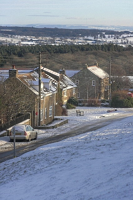
Broadclose Plantation Images
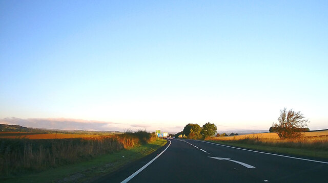
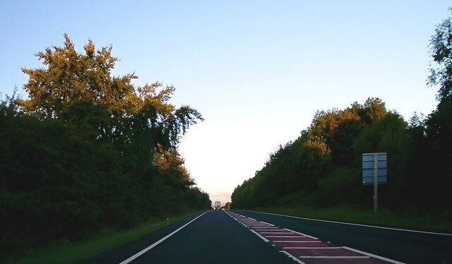
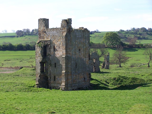
Images are sourced within 2km of 54.472982/-1.7986123 or Grid Reference NZ1308. Thanks to Geograph Open Source API. All images are credited.


Broadclose Plantation is located at Grid Ref: NZ1308 (Lat: 54.472982, Lng: -1.7986123)
Division: North Riding
Administrative County: North Yorkshire
District: Richmondshire
Police Authority: North Yorkshire
What 3 Words
///spending.testers.pocketed. Near Hutton Magna, Co. Durham
Nearby Locations
Related Wikis


Nearby Amenities
Located within 500m of 54.472982,-1.7986123Have you been to Broadclose Plantation?
Leave your review of Broadclose Plantation below (or comments, questions and feedback).