Alport Valley Plantations

Wood, Forest in Derbyshire High Peak

England

Alport Valley Plantations

Ford crossing the River Alport
Ford crossing the River Alport Credit: Ian Calderwood

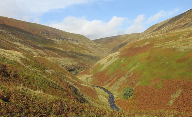
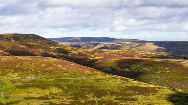
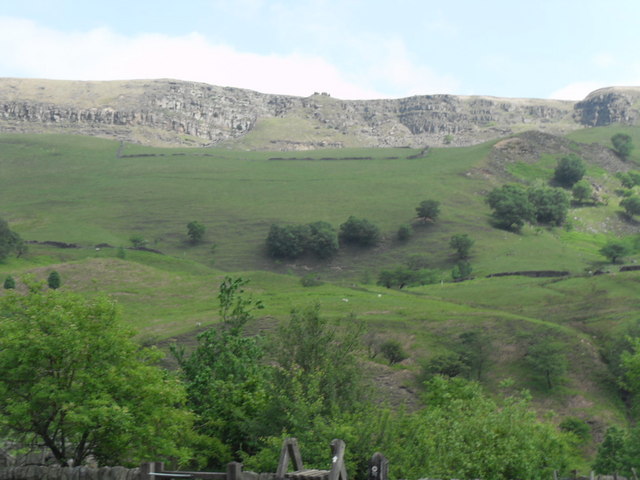
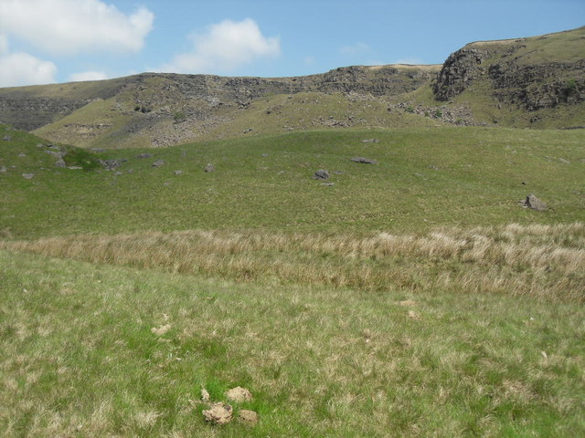
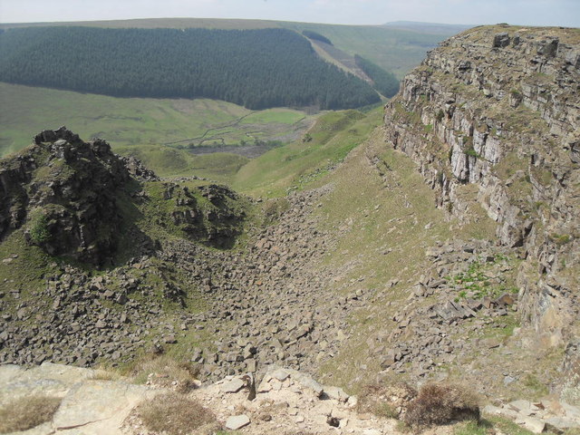
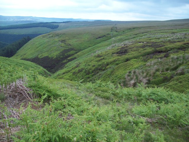
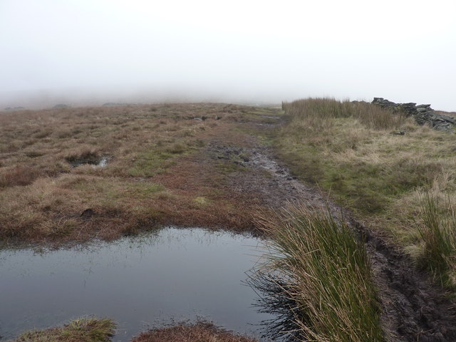
Alport Valley Plantations is a sprawling woodland area located in Derbyshire, England. Spanning over a vast expanse of land, it is renowned for its rich biodiversity and scenic beauty. The plantations are nestled within the picturesque Alport Valley, which adds to its allure and makes it a popular destination for nature enthusiasts and outdoor adventurers.

The woodlands in Alport Valley Plantations are predominantly composed of native tree species such as oak, beech, and birch, creating a diverse ecosystem that supports a wide variety of flora and fauna. The forest floor is carpeted with an array of wildflowers, including bluebells and primroses, adding vibrant splashes of color to the landscape.

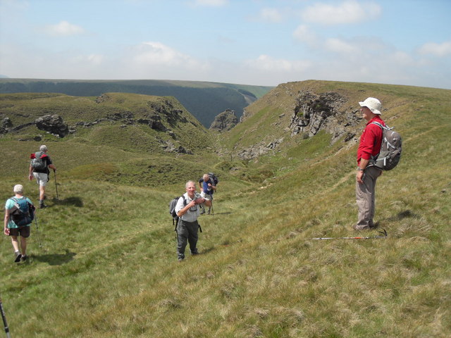
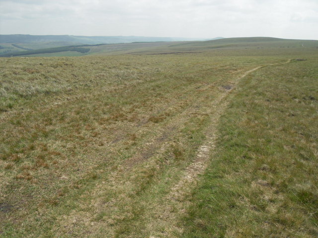
The plantations offer a network of well-maintained trails, making it an ideal location for hiking, cycling, and horseback riding. These trails wind through the woodlands, providing visitors with opportunities to immerse themselves in nature and explore the enchanting surroundings. The area is also home to a plethora of wildlife, including deer, foxes, badgers, and numerous bird species, making it a haven for wildlife enthusiasts and birdwatchers.

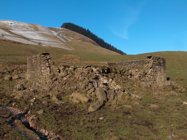
In addition to its natural beauty, Alport Valley Plantations also hold historical significance. The woodlands have been managed for centuries, with evidence of human activity dating back to the medieval period. Remnants of charcoal kilns and ancient boundary markers can still be found within the plantations, serving as reminders of the area's past.

Overall, Alport Valley Plantations in Derbyshire is a captivating and diverse woodland area, offering a unique blend of natural beauty, outdoor recreational opportunities, and historical intrigue.

If you have any feedback on the listing, please let us know in the comments section below.

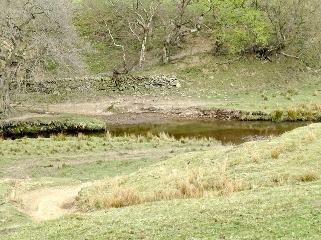
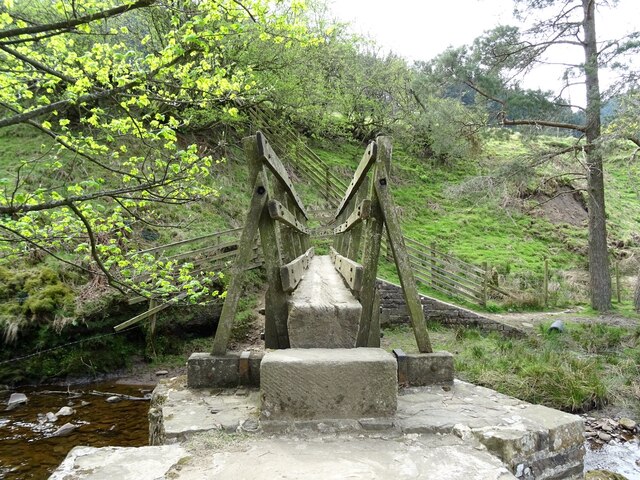
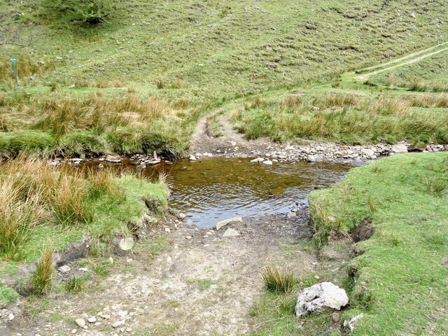
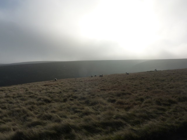
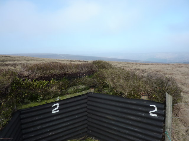
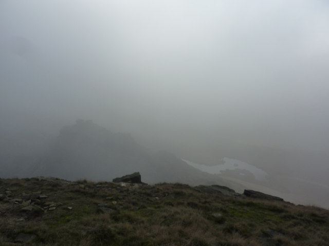
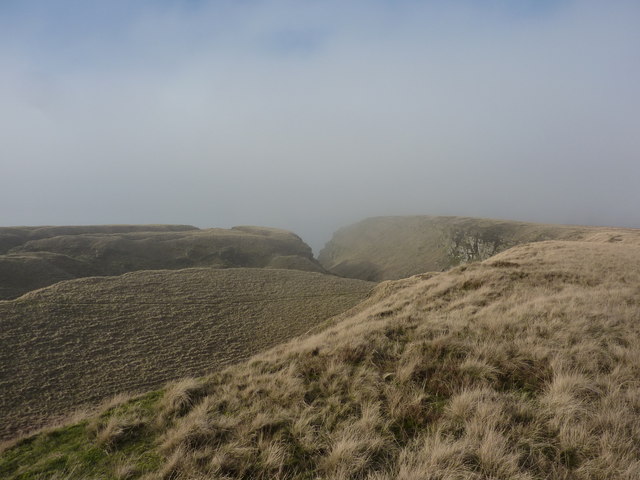
Alport Valley Plantations Images

Images are sourced within 2km of 53.421523/-1.8036533 or Grid Reference SK1391. Thanks to Geograph Open Source API. All images are credited.

Ford crossing the River Alport
Footbridge over the River Alport
Ford crossing the River Alport
Alport Dale Looking towards Grindlesgrain Tor.
Alport Dale
Looking towards Grindlesgrain Tor.
Alport Castles The distinctive rock outcrops at Alport Castles.  Nether Moor in the foreground and Crookstone Hill in the near middle distance (Crookstone Knoll prominent to the left).
Alport Castles
The distinctive rock outcrops at Alport Castles. Nether Moor in the foreground and Crookstone Hill in the near middle distance (Crookstone Knoll prominent to the left).
Slopes below Alport Castles as seen from Alport Farm
Uphill view towards Alport Castles The perspective of this photo is misleading - the uphill gradient is a lot steeper than you may think. The very unusual shape of the landscape is due to due to mass slippage of rock strata after the most recent ice age about 10,000 years ago.
Uphill view towards Alport Castles
The perspective of this photo is misleading - the uphill gradient is a lot steeper than you may think. The very unusual shape of the landscape is due to due to mass slippage of rock strata after the most recent ice age about 10,000 years ago.
Alport Castles
Alport Castles
Southeast from Alport Castles towards Rowlee Pasture The gently sloping gradients to the east and southeast contrast with the precipitous drops to the West of Alport Castles.
Southeast from Alport Castles towards Rowlee Pasture
The gently sloping gradients to the east and southeast contrast with the precipitous drops to the West of Alport Castles.
Sheer drops on the northern side of Alport Castles Alport Valley Plantations can be seen on the opposite side of the valley.
Sheer drops on the northern side of Alport Castles
Alport Valley Plantations can be seen on the opposite side of the valley.
The Upper Reaches of Ouzelden Clough Access land to the east of Alport Castles.
The Upper Reaches of Ouzelden Clough
Access land to the east of Alport Castles.
Erosion, Alport Castles A popular viewpoint for the castles. The footpath can be made out on the top.
Erosion, Alport Castles
A popular viewpoint for the castles. The footpath can be made out on the top.
Not many folk about Just me and a few sheep, on Birchinlee Pasture, on a path from Howden to Alport Castles.
Not many folk about
Just me and a few sheep, on Birchinlee Pasture, on a path from Howden to Alport Castles.
Grouse butt Number 2 On the path from Ditch Clough Plantation to Alport Castles. Only saw and heard one grouse today.Yet the information is that grouse numbers are higher than in previous years (<span class="nowrap"><a title="http://news.uk.msn.com/environment/red-grouse-numbers-at-record-high" rel="nofollow ugc noopener" href="http://news.uk.msn.com/environment/red-grouse-numbers-at-record-high">Link</a><img style="margin-left:2px;" alt="External link" title="External link - shift click to open in new window" src="https://s1.geograph.org.uk/img/external.png" width="10" height="10"/></span> )
Grouse butt Number 2
On the path from Ditch Clough Plantation to Alport Castles. Only saw and heard one grouse today.Yet the information is that grouse numbers are higher than in previous years (LinkExternal link )
Alport Castles, foggy day The Alport Castles are a landslip, said to be the largest landslide in the UK. North of the Snake Road and west of Ladybower Reservoir the land is part of the National Trust's High Peak Estate.
Debris from the landslide has produced several mounds, the largest of which — the "Tower" — from a distance resembles a full scale motte and bailey castle.
Alport Castles, foggy day
The Alport Castles are a landslip, said to be the largest landslide in the UK. North of the Snake Road and west of Ladybower Reservoir the land is part of the National Trust's High Peak Estate. Debris from the landslide has produced several mounds, the largest of which — the "Tower" — from a distance resembles a full scale motte and bailey castle.
Little Moor, by Alport Castles Fog briefly lifting; a minute later all gone.
Little Moor, by Alport Castles
Fog briefly lifting; a minute later all gone.
Path in the fog, Birchinlee Pasture The path leads away from Alport Castles, across Rowlee Pasture.
Path in the fog, Birchinlee Pasture
The path leads away from Alport Castles, across Rowlee Pasture.
Ruins of house in Alport Valley
Show me another place!

Alport Valley Plantations is located at Grid Ref: SK1391 (Lat: 53.421523, Lng: -1.8036533)

Administrative County: Derbyshire

District: High Peak

Police Authority: Derbyshire

What 3 Words

///unafraid.coder.pricier. Near High Peak, Derbyshire

Related Wikis

Nearby Amenities

Located within 500m of 53.421523,-1.8036533
Ferny Side
Place: locality
Source: Bing
Lat/Long: 53.4227379/-1.8099062
The data included in this document is from www.openstreetmap.org. The data is made available under ODbL.

Have you been to Alport Valley Plantations?

Leave your review of Alport Valley Plantations below (or comments, questions and feedback).