Cherry Hill
Hill, Mountain in Yorkshire Richmondshire
England
Cherry Hill

Cherry Hill is a picturesque hill located in the county of Yorkshire, England. Situated in the idyllic countryside, it offers breathtaking views and a tranquil atmosphere for visitors and locals alike. Known for its natural beauty, Cherry Hill is a popular destination for nature enthusiasts, hikers, and photographers.
Rising to an elevation of approximately 500 feet, Cherry Hill is classified as a hill rather than a mountain. However, its prominent position in the landscape makes it a prominent landmark in the region. The hill is characterized by its gentle slopes and lush greenery, creating a peaceful and serene environment.
Cherry Hill is home to a diverse range of flora and fauna, making it a haven for wildlife lovers. Various species of birds, mammals, and insects can be spotted in its surroundings, adding to the overall charm of the area.
Visitors to Cherry Hill can enjoy a multitude of activities. The hill offers numerous walking trails and paths, allowing individuals to explore its natural beauty at their own pace. Additionally, it provides an excellent vantage point for capturing stunning photographs of the surrounding countryside.
The hill is easily accessible, with a parking area available for those arriving by car. Its proximity to nearby towns and villages makes it a convenient day trip destination for both locals and tourists.
In conclusion, Cherry Hill in Yorkshire is a delightful hill that boasts breathtaking views, abundant wildlife, and a serene ambiance. Whether one is seeking a peaceful stroll, a photography expedition, or simply a place to connect with nature, Cherry Hill offers a truly enriching experience.
If you have any feedback on the listing, please let us know in the comments section below.
Cherry Hill Images
Images are sourced within 2km of 54.269167/-1.8240808 or Grid Reference SE1185. Thanks to Geograph Open Source API. All images are credited.


Cherry Hill is located at Grid Ref: SE1185 (Lat: 54.269167, Lng: -1.8240808)
Division: North Riding
Administrative County: North Yorkshire
District: Richmondshire
Police Authority: North Yorkshire
What 3 Words
///classmate.intrigues.blubber. Near Leyburn, North Yorkshire
Nearby Locations
Related Wikis
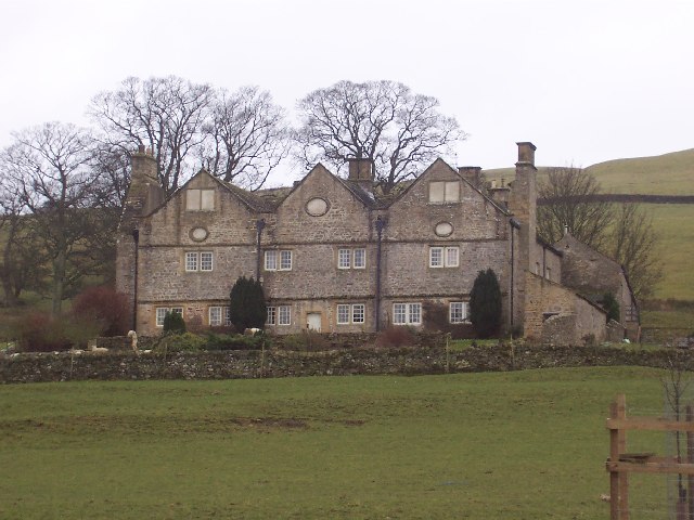
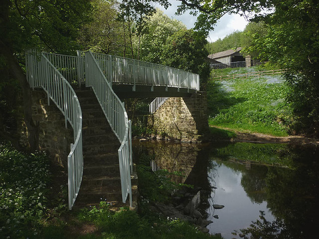
Braithwaite Hall
Braithwaite Hall is a 17th-century manor house in Coverdale in the Yorkshire Dales in England. It lies 1.8 miles (2.9 km) west of the village of East...

Coverham Abbey
Coverham Abbey, North Yorkshire, England, was a Premonstratensian monastery that was founded at Swainby in 1190 by Helewisia, daughter of the Chief Justiciar...
Coverham
Coverham is a village in Coverdale in the Yorkshire Dales in North Yorkshire, England. It lies 2 miles (3.2 km) west of the town of Middleham. == History... ==

Holy Trinity Church, Coverham
Holy Trinity Church is a redundant Anglican church in the village of Coverham, North Yorkshire, England. It is recorded in the National Heritage List...
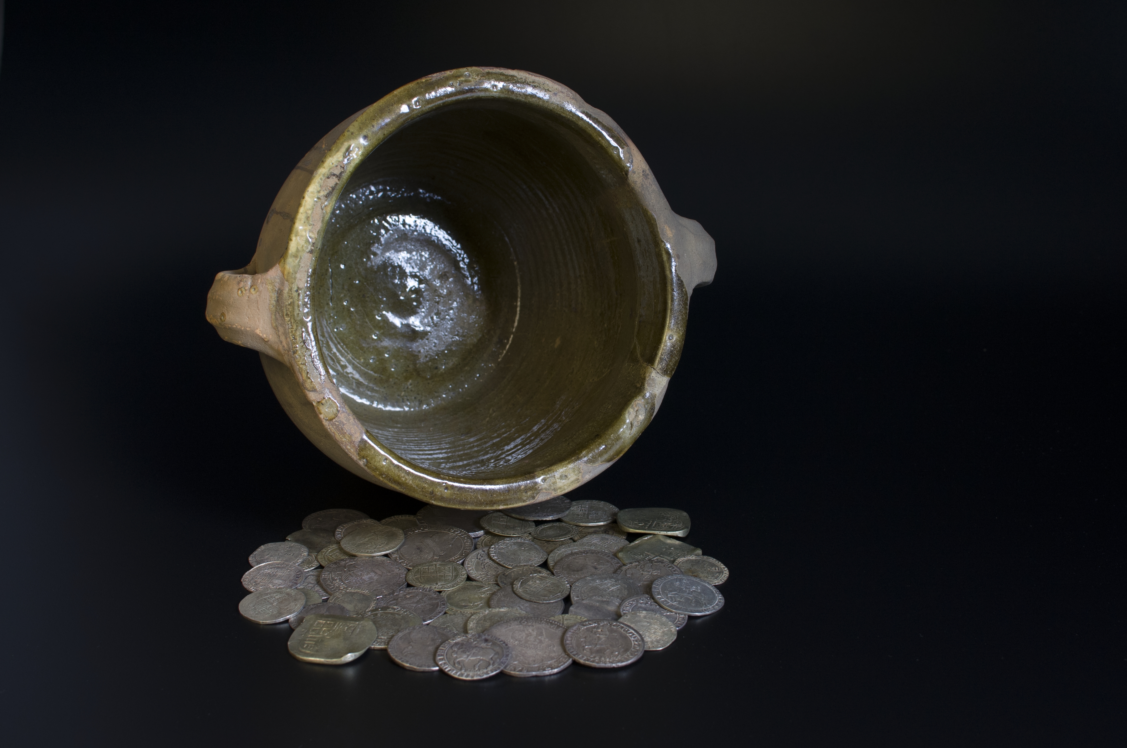
Middleham Hoard
The Middleham Hoard is a coin hoard found near Middleham, North Yorkshire in England. It dates from the period of the English Civil War, and consists of...

Middleham Castle
Middleham Castle is a ruined castle in Middleham in Wensleydale, in the county of North Yorkshire, England. It was built by Robert Fitzrandolph, 3rd Lord...

Middleham
Middleham is a market town and civil parish in the district and county of North Yorkshire, England. It lies in Wensleydale in the Yorkshire Dales, on...
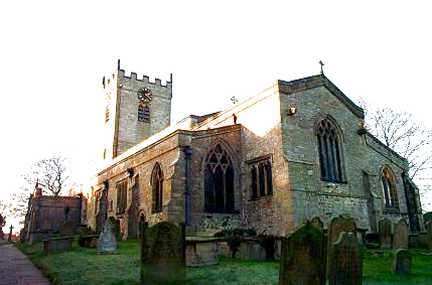
Church of St Mary and St Alkelda, Middleham
The Church of St Mary and St Alkelda is a Church of England parish church in Middleham, Richmondshire, North Yorkshire. The church is a grade I listed...
Nearby Amenities
Located within 500m of 54.269167,-1.8240808Have you been to Cherry Hill?
Leave your review of Cherry Hill below (or comments, questions and feedback).