Bleaklow Stones
Hill, Mountain in Derbyshire High Peak
England
Bleaklow Stones
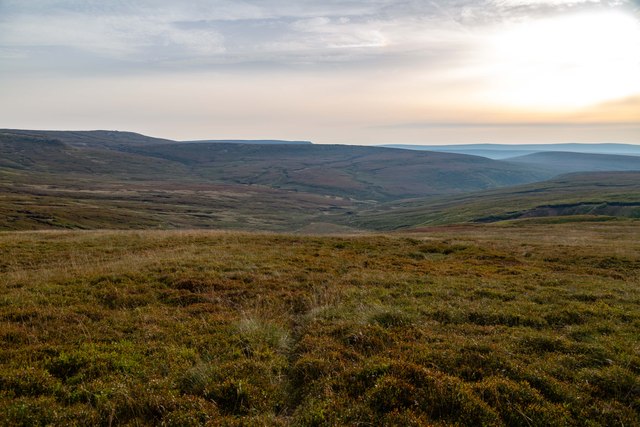
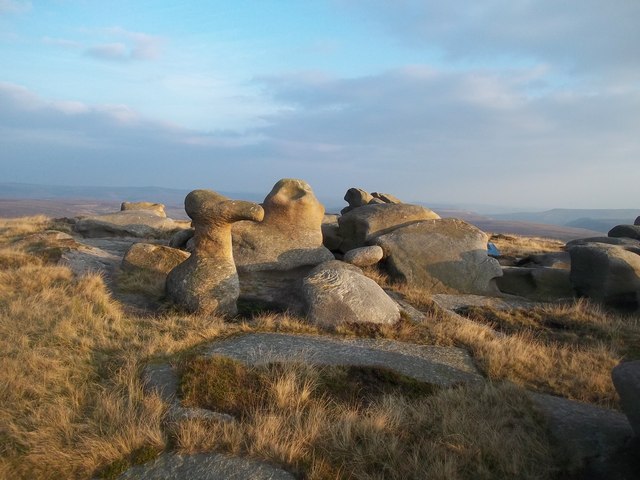
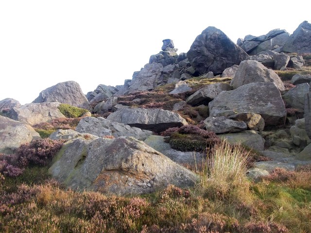
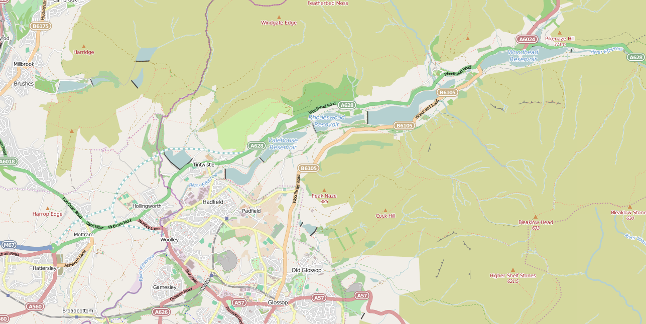
Bleaklow Stones is a prominent hill/mountain located in the Derbyshire region of England. It is part of the Peak District National Park, which is renowned for its stunning landscapes and natural beauty. Sitting at an elevation of 633 meters (2,077 feet), Bleaklow Stones offers breathtaking panoramic views of the surrounding area.
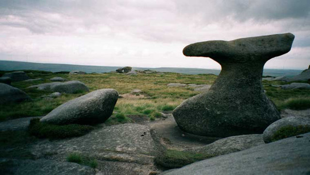
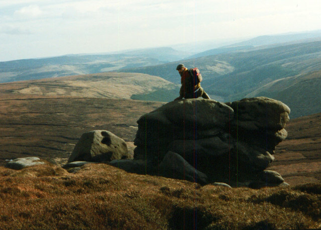
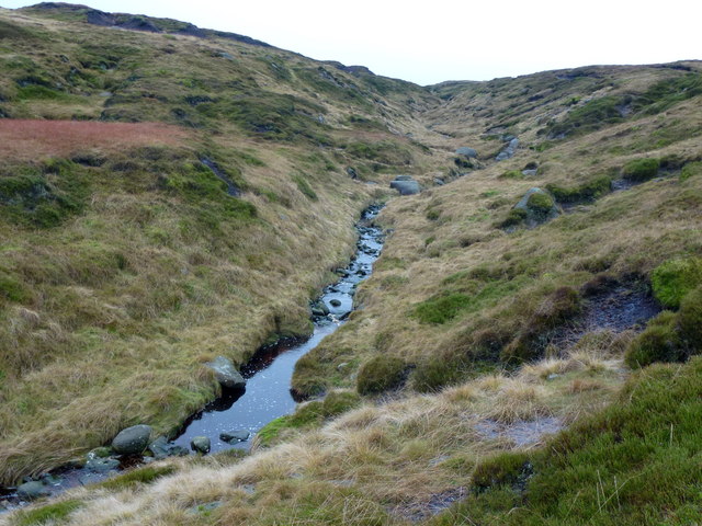
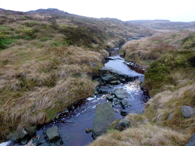
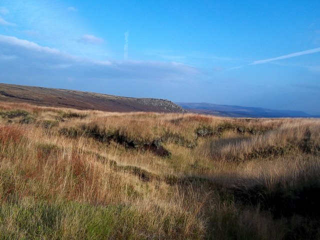
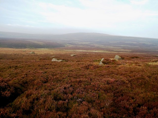
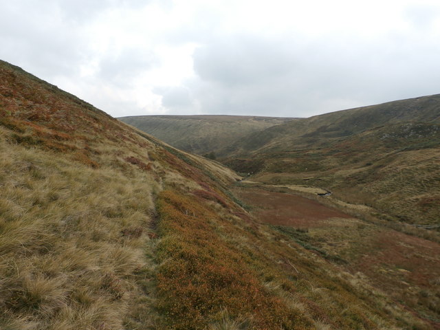
The hill/mountain is characterized by its rugged and rocky terrain, covered in peat moorland, heather, and grasses. Its name, "Bleaklow," is derived from the Old English word "bleak," meaning exposed or barren, reflecting its desolate and harsh environment. Despite its name, the hill/mountain attracts outdoor enthusiasts, hikers, and nature lovers who are drawn to its remote and untouched wilderness.
Bleaklow Stones is known for its challenging hiking trails, including the famous Pennine Way, which passes through the area. The summit is marked by a trig point, allowing visitors to identify their location and take in the stunning vistas. On clear days, one can see as far as the Manchester skyline and the distant hills of Yorkshire.
The hill/mountain is also renowned for its rich history and archaeological significance. Remnants of a crashed World War II aircraft, known as the "B-29 Superfortress," can be found on the eastern side of Bleaklow Stones, serving as a poignant reminder of the area's past.
Overall, Bleaklow Stones offers a unique and wild experience for those seeking outdoor adventure, solitude, and a chance to immerse themselves in the natural beauty of Derbyshire's Peak District.
If you have any feedback on the listing, please let us know in the comments section below.
Bleaklow Stones Images
Images are sourced within 2km of 53.463716/-1.8273929 or Grid Reference SK1196. Thanks to Geograph Open Source API. All images are credited.


Bleaklow Stones is located at Grid Ref: SK1196 (Lat: 53.463716, Lng: -1.8273929)
Administrative County: Derbyshire
District: High Peak
Police Authority: Derbyshire
What 3 Words
///refreshed.forum.ties. Near Glossop, Derbyshire
Nearby Locations
Related Wikis

Bleaklow
Bleaklow is a high, largely peat-covered, gritstone moorland in the Derbyshire High Peak near the town of Glossop. It is north of Kinder Scout, across...

Bleaklow Bomber
The Bleaklow Bomber was a US Air Force (USAF) Boeing RB-29A Superfortress that crashed near Higher Shelf Stones on Bleaklow in the Peak District in 1948...
Woodhead railway station
Woodhead railway station was a railway station that served the hamlet of Woodhead on the Woodhead Line. == History == The station was opened on 8 April...
Woodhead, Derbyshire
Woodhead is a small and scattered settlement at the head of the Longdendale valley in Derbyshire, England. It lies on the trans-Pennine A628 road connecting...
Longdendale Chain
The Longdendale Chain is a sequence of six reservoirs on the River Etherow in the Longdendale Valley, in northern Derbyshire. They were constructed between...

Longdendale
Longdendale is a valley in the Peak District of England, north of Glossop and southwest of Holmfirth. The name means "long wooded valley" and the valley...

Woodhead Reservoir
Woodhead reservoir is a man-made lake near the hamlet of Woodhead in Longdendale in north Derbyshire, England. It was constructed by John Frederick Bateman...

Crowden railway station
Crowden railway station is a closed railway station on the Woodhead Line between Manchester and Sheffield, that served the hamlet of Crowden, Derbyshire...
Nearby Amenities
Located within 500m of 53.463716,-1.8273929Have you been to Bleaklow Stones?
Leave your review of Bleaklow Stones below (or comments, questions and feedback).