Cleeve Hill

Hill, Mountain in Worcestershire Wychavon

England

Cleeve Hill

Footpath on Cleeve Hill
Footpath on Cleeve Hill Credit: Row17

Cleeve Hill is an iconic hill located in the county of Worcestershire, England. Standing at an impressive height of 330 meters (1,083 feet), it is the highest point in the Cotswolds, a range of hills stretching across several counties in Southwestern England. The hill is part of the Cotswolds Area of Outstanding Natural Beauty, renowned for its stunning landscapes and rich wildlife.

Cleeve Hill offers breathtaking panoramic views from its summit. On a clear day, visitors can enjoy vistas that stretch for miles, encompassing the Severn Vale, Malvern Hills, and even the Welsh mountains in the distance. The hill is a popular destination for hikers, nature enthusiasts, and photographers, offering a variety of walking trails that cater to different abilities.

The hill is also home to the Cleeve Hill Golf Club, one of the oldest golf clubs in England, established in 1891. The club boasts an 18-hole course set amidst the rolling countryside, providing golfers with a challenging and picturesque experience.

In addition to its natural beauty, Cleeve Hill is steeped in history. It is believed to have been inhabited since prehistoric times, with evidence of Iron Age and Roman settlements discovered in the surrounding area. The hill was also a strategic location during the English Civil War, and remnants of ancient fortifications can still be seen today.

Overall, Cleeve Hill is a captivating destination that offers a blend of natural beauty, outdoor activities, and historical significance. Whether one is seeking adventure, relaxation, or a glimpse into the past, this Worcestershire hill has something to offer everyone.

If you have any feedback on the listing, please let us know in the comments section below.
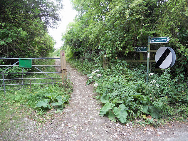
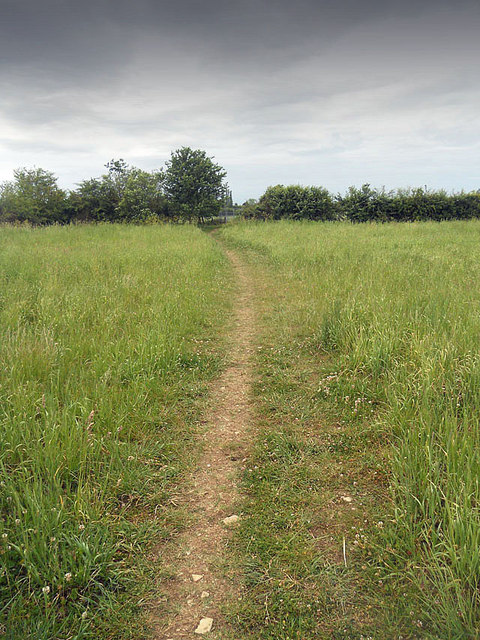
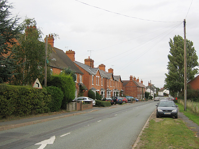
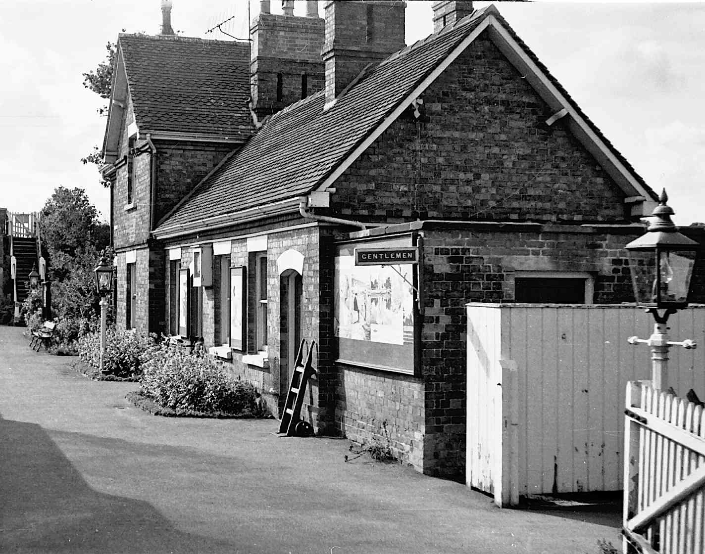
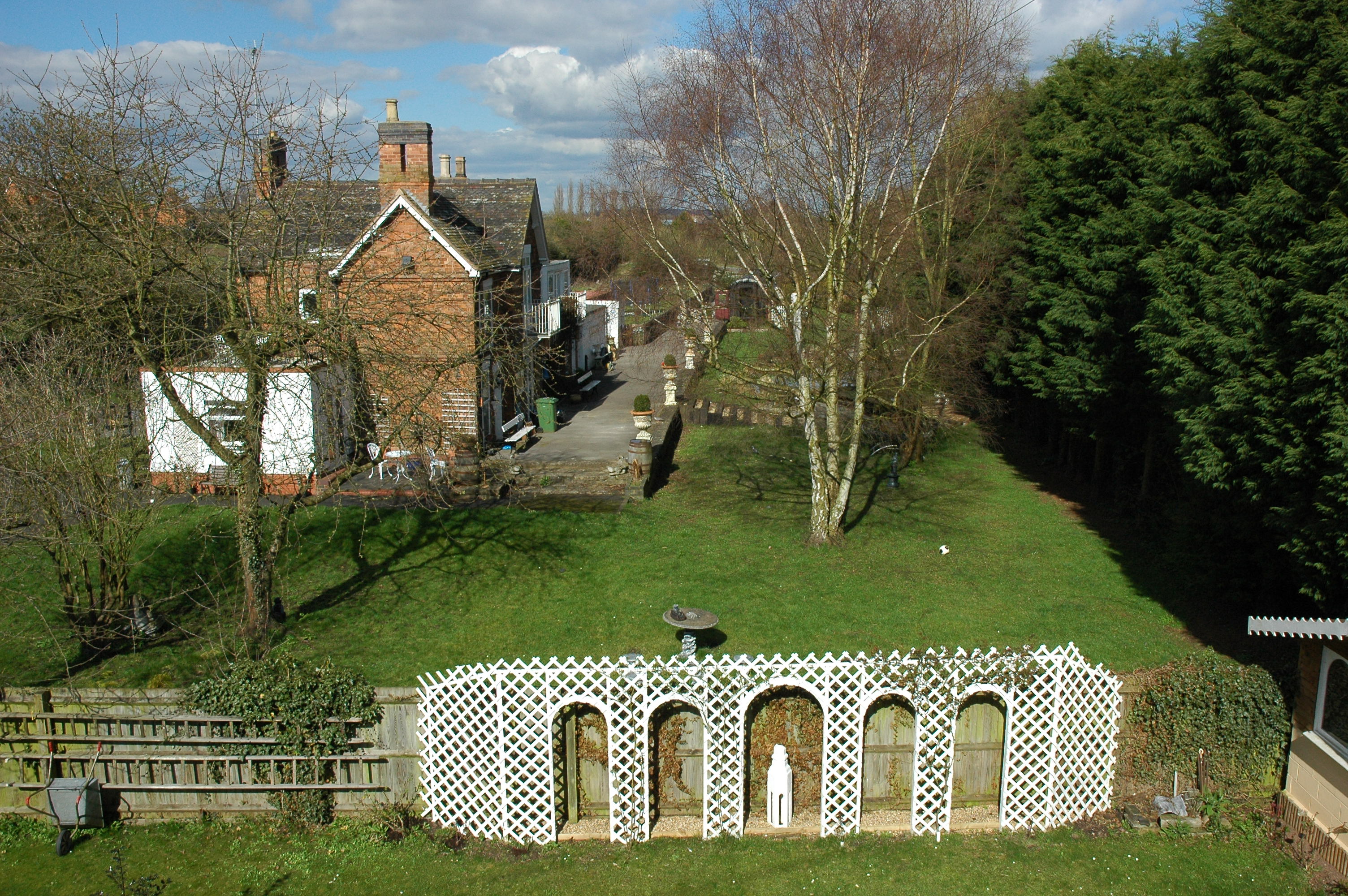
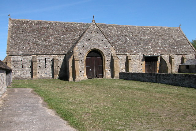
Cleeve Hill Images

Images are sourced within 2km of 52.145524/-1.8845076 or Grid Reference SP0849. Thanks to Geograph Open Source API. All images are credited.

Footpath on Cleeve Hill
Footpath on Cleeve Hill ridge
Track passing Island Barn
On the village green
Footpath beside the gallops
Footpath and hedge
Footpath and hedge
Footbridge beside the River Avon
Park House Park House is a prominent red brick Victorian detached house standing on its own on the east side of the Cleeve Road just north east of the village of Cleeve Prior.
Park House
Park House is a prominent red brick Victorian detached house standing on its own on the east side of the Cleeve Road just north east of the village of Cleeve Prior.
Cleeve Prior Garage This garage from yesteryear complete with an ancient petrol pump beside it has just been left to decay slowly at the side of a small roadside car park in the centre of the village.
Cleeve Prior Garage
This garage from yesteryear complete with an ancient petrol pump beside it has just been left to decay slowly at the side of a small roadside car park in the centre of the village.
Houses in Cleeve Prior This row of old stone cottages is located in the centre of the village on the very sharp bend in the main road.
Houses in Cleeve Prior
This row of old stone cottages is located in the centre of the village on the very sharp bend in the main road.
Field Barn Field Barn is a farm sitting on top of the Cleeve Hill scarp slope above the river Avon. It is halfway between Cleeve Prior and the Littletons.
Field Barn
Field Barn is a farm sitting on top of the Cleeve Hill scarp slope above the river Avon. It is halfway between Cleeve Prior and the Littletons.
Track to Sewage Works This gated concrete track close to Salford Bridge over the river Arrow leads to a small sewage works between Slford Priors and Bidford. A few hundred metres downstream the River Arrow joins the River Avon.
Track to Sewage Works
This gated concrete track close to Salford Bridge over the river Arrow leads to a small sewage works between Slford Priors and Bidford. A few hundred metres downstream the River Arrow joins the River Avon.
Field headland at Cleeve Prior A field of oats with a footpath following the headland to Cleeve Road to the north of the village of Cleeve Prior.
Field headland at Cleeve Prior
A field of oats with a footpath following the headland to Cleeve Road to the north of the village of Cleeve Prior.
Bridleway to North Littleton Public bridleway from Holden Lane at Cleeve Prior to North Littleton.
Bridleway to North Littleton
Public bridleway from Holden Lane at Cleeve Prior to North Littleton.
Holden Lane, Cleeve Prior Holden Lane is a no through road from the village of Cleeve Prior to Holden Farm.  Field Barn can be seen just above the hedge on the left.
Holden Lane, Cleeve Prior
Holden Lane is a no through road from the village of Cleeve Prior to Holden Farm. Field Barn can be seen just above the hedge on the left.
Silage bales Silage bales in just inside a field off Hoden Lane.
Silage bales
Silage bales in just inside a field off Hoden Lane.
Cleeve Prior church The tower of St Andrew's church at Cleeve Prior dominates this view from the south-west.
Cleeve Prior church
The tower of St Andrew's church at Cleeve Prior dominates this view from the south-west.
Cleeve Prior church Cleeve Prior church is dedicated to St Andrew.
Cleeve Prior church
Cleeve Prior church is dedicated to St Andrew.
Show me another place!

Cleeve Hill is located at Grid Ref: SP0849 (Lat: 52.145524, Lng: -1.8845076)

Administrative County: Worcestershire

District: Wychavon

Police Authority: West Mercia

What 3 Words

///gadget.magnitude.fabricate. Near Harvington, Worcestershire

Related Wikis

Cleeve Prior

Cleeve Prior is a village in the Vale of Evesham Worcestershire, England. It is situated five miles north-east of Evesham. There are many picturesque houses...

River Arrow, Worcestershire

The River Arrow is a tributary of the River Avon, which flows through Worcestershire and Warwickshire in the English Midlands. == Course == The Arrow rises...

Abbot's Salford

Abbot's Salford is the name of a village in the English county of Warwickshire. It is found six miles south of Alcester, about the same distance from Evesham...

Salford Priors

Salford Priors is a rural, agricultural village and civil parish about four miles south-west of Alcester, Warwickshire, England. The population of the...

Salford Priors railway station

Salford Priors railway station was a railway station located in the village of Salford Priors, Warwickshire, England. Opened on 16 June 1866 (17 September...

Harvington railway station

Harvington railway station was a station in Harvington, Worcestershire, England. The station was opened on 17 September 1866, train services were withdrawn...

Bickmarsh

Bickmarsh is a village and civil parish in the Wychavon district of Worcestershire, England. According to the 2001 census it had a population of 65....

North and Middle Littleton

North and Middle Littleton is a civil parish located in the Wychavon district of Worcestershire, England. The parish comprises the villages of North Littleton...

Nearby Amenities

Located within 500m of 52.145524,-1.8845076
Barrier: stile
Lat/Long: 52.147551/-1.884241
Barrier: stile
Lat/Long: 52.147426/-1.8840555
Post Box
Collection Times: Mo-Fr 16:00; Sa 08:00
Operator: Royal Mail
Operator Wikidata: Q638098
Post Box Type: lamp
Ref: WR11 49
Royal Cypher: EIIR
Royal Cypher Wikidata: Q33102113
Source: survey
Lat/Long: 52.1440846/-1.8795299
The data included in this document is from www.openstreetmap.org. The data is made available under ODbL.

Have you been to Cleeve Hill?

Leave your review of Cleeve Hill below (or comments, questions and feedback).