Cleeve Prior
Settlement in Worcestershire Wychavon
England
Cleeve Prior

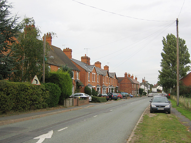
Cleeve Prior is a small village located in Worcestershire, England. Situated on the banks of the River Avon, it is nestled amidst the scenic countryside, offering residents and visitors a peaceful and idyllic setting. The village is part of the Wychavon district and has a population of around 600 people.
The history of Cleeve Prior dates back to the medieval period, as evidenced by the charming timber-framed cottages and historic buildings that still dot the village. The centerpiece of the village is the 14th-century St. Andrew's Church, which showcases beautiful stained glass windows and a tower with an impressive spire.
Although small in size, Cleeve Prior boasts a vibrant community spirit. The village has a local pub, The Kings Arms, which serves as a social hub for residents and visitors alike. The pub offers a warm and welcoming atmosphere, along with traditional pub food and a selection of beverages.
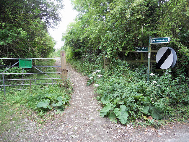
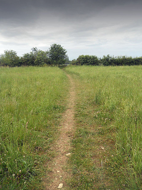
Surrounded by picturesque countryside, Cleeve Prior provides ample opportunities for outdoor activities. The nearby River Avon offers a peaceful setting for fishing enthusiasts, while the surrounding fields and footpaths are perfect for leisurely walks and hikes.
For amenities and services, the village is well-connected to nearby towns such as Evesham and Pershore, where residents can find a wider range of shops, supermarkets, and healthcare facilities.
In conclusion, Cleeve Prior is a charming and historic village in Worcestershire, known for its idyllic countryside, friendly community, and rich heritage.
If you have any feedback on the listing, please let us know in the comments section below.
Cleeve Prior Images
Images are sourced within 2km of 52.143385/-1.876779 or Grid Reference SP0849. Thanks to Geograph Open Source API. All images are credited.


Cleeve Prior is located at Grid Ref: SP0849 (Lat: 52.143385, Lng: -1.876779)
Administrative County: Worcestershire
District: Wychavon
Police Authority: West Mercia
What 3 Words
///unscathed.reliving.spacing. Near Bidford-on-avon, Warwickshire
Nearby Locations
Related Wikis

Cleeve Prior
Cleeve Prior is a village in the Vale of Evesham Worcestershire, England. It is situated five miles north-east of Evesham. There are many picturesque houses...

River Arrow, Worcestershire
The River Arrow is a tributary of the River Avon, which flows through Worcestershire and Warwickshire in the English Midlands. == Course == The Arrow rises...

Abbot's Salford
Abbot's Salford is the name of a village in the English county of Warwickshire. It is found six miles south of Alcester, about the same distance from Evesham...
Salford Priors
Salford Priors is a rural, agricultural village and civil parish about four miles south-west of Alcester, Warwickshire, England. The population of the...
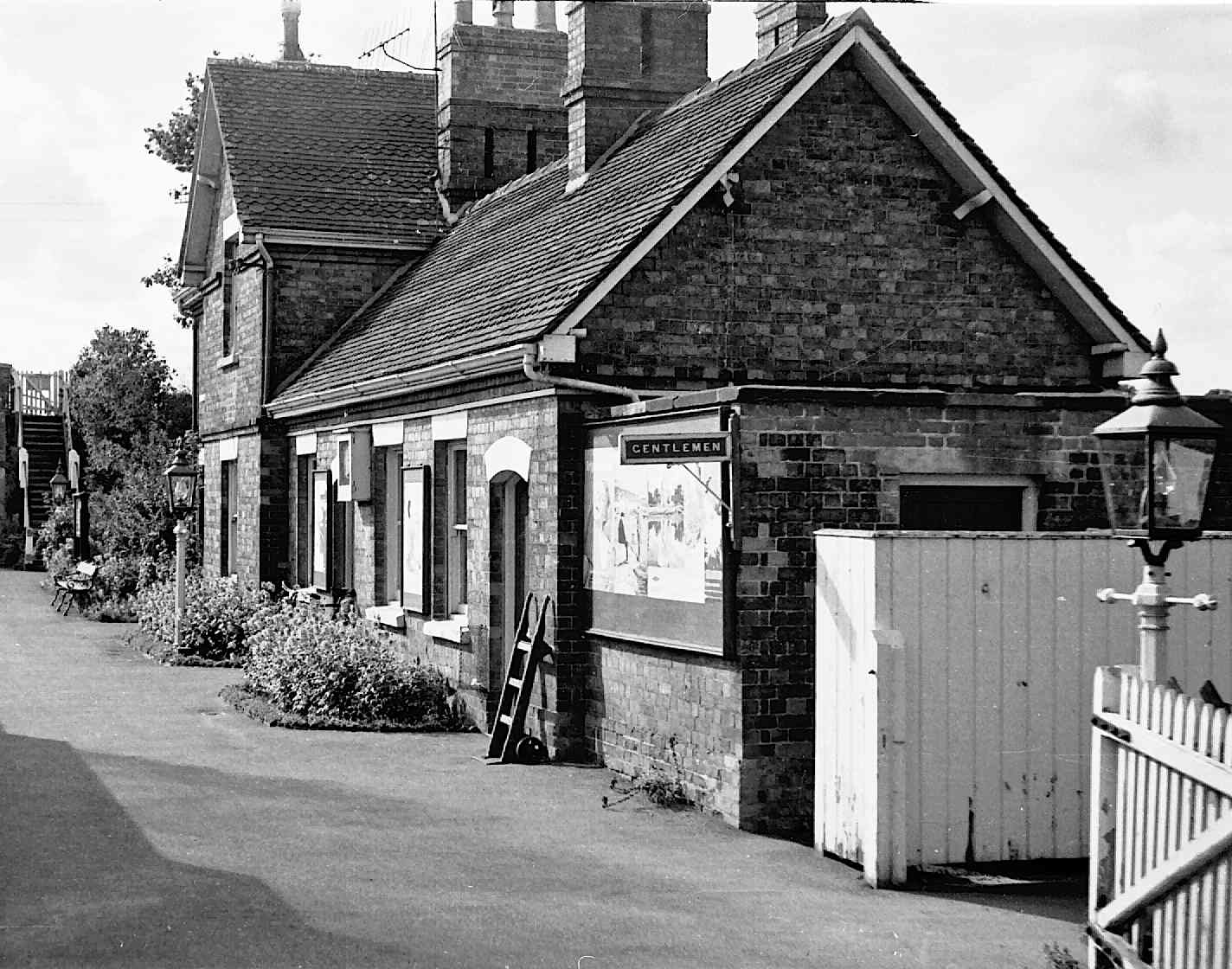
Salford Priors railway station
Salford Priors railway station was a railway station located in the village of Salford Priors, Warwickshire, England. Opened on 16 June 1866 (17 September...

Bickmarsh
Bickmarsh is a village and civil parish in the Wychavon district of Worcestershire, England. According to the 2001 census it had a population of 65....
North and Middle Littleton
North and Middle Littleton is a civil parish located in the Wychavon district of Worcestershire, England. The parish comprises the villages of North Littleton...
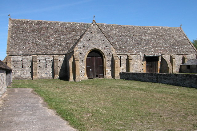
Middle Littleton Tythe Barn
Middle Littleton Tythe Barn, also known as Middle Littleton Tithe Barn, is a grade I listed 13th or 14th-century tithe barn in the village of Middle Littleton...
Nearby Amenities
Located within 500m of 52.143385,-1.876779Have you been to Cleeve Prior?
Leave your review of Cleeve Prior below (or comments, questions and feedback).