Brown Hill

Hill, Mountain in Yorkshire Harrogate

England

Brown Hill

Green grooves Gill
Green grooves Gill Credit: David Brown

Brown Hill is a prominent natural feature located in the county of Yorkshire, England. Situated in the rural landscape, it is classified as a hill rather than a mountain due to its moderate height and gentle slopes. Rising to an elevation of approximately 350 meters (1150 feet), it offers breathtaking panoramic views of the surrounding countryside.

Covered in lush green vegetation, Brown Hill is known for its picturesque beauty and tranquil atmosphere. The hill is characterized by its distinctive brown-colored soil, which gives it its name. This unique soil composition is a result of the underlying sandstone geology that dominates the area.

The hill is a popular destination for hikers and nature enthusiasts, with several well-marked trails leading to its summit. Along these trails, one can observe a diverse range of flora and fauna, including heather, gorse, and various bird species. The hill also boasts a small woodland area, providing a habitat for woodland creatures such as deer and rabbits.

At the top of Brown Hill, visitors are rewarded with stunning views of the surrounding countryside, including rolling hills, farmland, and distant villages. On clear days, it is even possible to spot the nearby Pennines mountain range in the distance.

Overall, Brown Hill is a picturesque and accessible natural feature, offering a peaceful escape for those seeking to explore the beauty of Yorkshire's countryside.

If you have any feedback on the listing, please let us know in the comments section below.
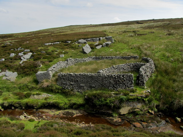
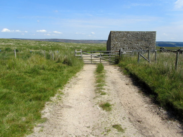
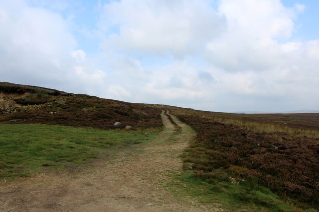
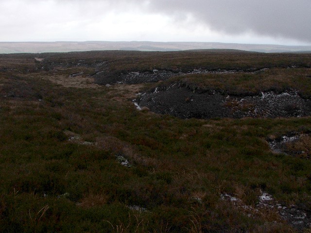
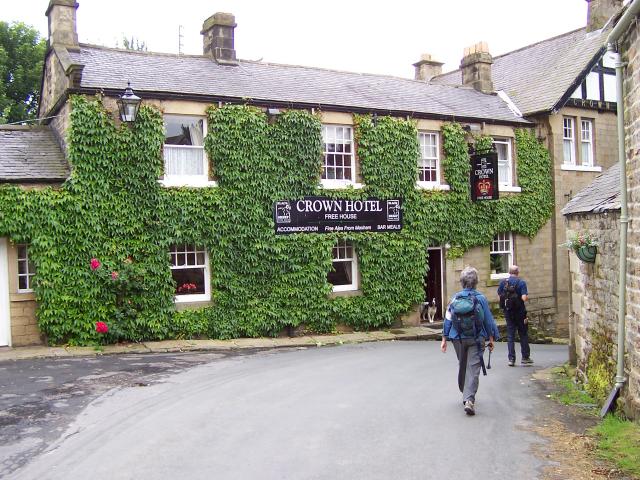
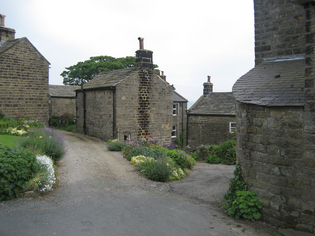
Brown Hill Images

Images are sourced within 2km of 54.129841/-1.8794396 or Grid Reference SE0770. Thanks to Geograph Open Source API. All images are credited.

Green grooves Gill
Green grooves Gill
Shooting Box
Shooting Box
Wall by Shaws enclosure
Sheepfold beside Ramsgill Beck Roughly constructed sheepfold, remotely located beside Ramsgill Beck.
Sheepfold beside Ramsgill Beck
Roughly constructed sheepfold, remotely located beside Ramsgill Beck.
Shooting Track leading onto Raygill House Moor Servicing Wigstone Butts, Long Drag Butts and Raven Scar Butts - all constructed for the shooting of grouse, of which there appeared to be in great numbers on my particular visit.
Shooting Track leading onto Raygill House Moor
Servicing Wigstone Butts, Long Drag Butts and Raven Scar Butts - all constructed for the shooting of grouse, of which there appeared to be in great numbers on my particular visit.
Ramsgill Moor Remote moorland that is the preserve of the shooting fraternity.
Walkers will find it hard to reach, despite the Open Access granted to this area - as there is a lack of routes from Nidderdale without causing trespass.
Ramsgill Moor
Remote moorland that is the preserve of the shooting fraternity. Walkers will find it hard to reach, despite the Open Access granted to this area - as there is a lack of routes from Nidderdale without causing trespass.
Moorland by the Source of North Grain Seldom visited moorland, except by the shooting fraternity - to be found west of Upper Nidderdale
Moorland by the Source of North Grain
Seldom visited moorland, except by the shooting fraternity - to be found west of Upper Nidderdale
To the West of Ramsgill Moor
Moorland Track approaching Washfold Gill
Ramsgill Beck Deep cutting created by Ramsgill Beck as it begins its descent into Nidderdale, to add it's waters to Gouthwaite Reservoir in the valley below.
Ramsgill Beck
Deep cutting created by Ramsgill Beck as it begins its descent into Nidderdale, to add it's waters to Gouthwaite Reservoir in the valley below.
Sheepfold on Bents Back Drive Well established track heading east, before descending towards Upper Nidderdale.
There is no access down to Ramsgill for walkers after about half a mile of passing this sheepfold.
Sheepfold on Bents Back Drive
Well established track heading east, before descending towards Upper Nidderdale. There is no access down to Ramsgill for walkers after about half a mile of passing this sheepfold.
Moorland Track crossing Washfold Gill
Redundant Post on Black Hill Drive One or two fence posts survive on the lonely moors of Black Hill Drive - probably the remnants of a long forgotten enclosure.
Redundant Post on Black Hill Drive
One or two fence posts survive on the lonely moors of Black Hill Drive - probably the remnants of a long forgotten enclosure.
Black Hill Drive Featureless moor high above the hamlet of Stean
Black Hill Drive
Featureless moor high above the hamlet of Stean
Wall leading down to Blayshaw Gill Wall enclosing an area of rough pasture called Shaws - heading into the small valley created by Blayshaw Gill
Wall leading down to Blayshaw Gill
Wall enclosing an area of rough pasture called Shaws - heading into the small valley created by Blayshaw Gill
Track above Blayshaw Gill Shooting track from Stean Moor and beyond, heading down into Nidderdale
Track above Blayshaw Gill
Shooting track from Stean Moor and beyond, heading down into Nidderdale
Shooting Hut on Black Hill One of several shooting huts on the huge expanses of moor above Nidderdale - this structure being of sound maintenance and pleasing appearance.
Shooting Hut on Black Hill
One of several shooting huts on the huge expanses of moor above Nidderdale - this structure being of sound maintenance and pleasing appearance.
Shooting Track heading for Stock Ridge Bottom The track leaves the shooting hut on Black Hill to give vehicular access to the grouse butts on the moors of Stock Ridge Bottom
Shooting Track heading for Stock Ridge Bottom
The track leaves the shooting hut on Black Hill to give vehicular access to the grouse butts on the moors of Stock Ridge Bottom
Show me another place!

Brown Hill is located at Grid Ref: SE0770 (Lat: 54.129841, Lng: -1.8794396)

Division: West Riding

Administrative County: North Yorkshire

District: Harrogate

Police Authority: North Yorkshire

What 3 Words

///curl.icicles.waltzed. Near Pateley Bridge, North Yorkshire

Nearby Locations

Brown Hill

Related Wikis

Stonebeck Down

Stonebeck Down is a civil parish in Harrogate district, North Yorkshire, England. The main settlements in the parish are the village of Ramsgill and the...

Stean

Stean is a small village in upper Nidderdale in North Yorkshire, England. It is 8 miles (13 km) north of Pateley Bridge. The village is located on Stean...

How Stean Gorge

How Stean Gorge is a limestone gorge in Nidderdale in North Yorkshire, England. It forms a unit of the Upper Nidderdale Site of Special Scientific Interest...

Meugher

Meugher (/ˈmuː.fər/) is a hill in the Yorkshire Dales, England. It lies in remote country between Wharfedale and Nidderdale, in the parish of Stonebeck...

Lofthouse-in-Nidderdale railway station

Lofthouse-in-Nidderdale railway station was the northernmost regular passenger terminus on the Nidd Valley Light Railway (NVLR), in Lofthouse, then in...

Lofthouse, North Yorkshire

Lofthouse is a small village in Nidderdale in the Harrogate district of North Yorkshire, England about a mile south of Middlesmoor. It is the principal...

Yorke Arms

The Yorke Arms is a luxury events venue in Ramsgill, Nidderdale, in the Yorkshire Dales in northern England.The building began life as a shooting lodge...

Middlesmoor

Middlesmoor is a small hill village at the head of Nidderdale in the Harrogate district of North Yorkshire, England. Middlesmoor is the principal settlement...

Nearby Amenities

Located within 500m of 54.129841,-1.8794396
Brown Hill
Source: NPE
Lat/Long: 54.1294436/-1.8762233
The data included in this document is from www.openstreetmap.org. The data is made available under ODbL.

Have you been to Brown Hill?

Leave your review of Brown Hill below (or comments, questions and feedback).