Aston Hill

Hill, Mountain in Gloucestershire Wychavon

England

Aston Hill

Bridge over the River Isbourne Bridge over the River Isbourne at Hinton in the Green.
Bridge over the River Isbourne Credit: Philip Halling

Aston Hill, located in Gloucestershire, England, is a prominent natural feature in the region. It is classified as a hill rather than a mountain, but it still stands tall at an elevation of 235 meters (771 feet), offering breathtaking panoramic views of the surrounding countryside.

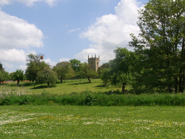
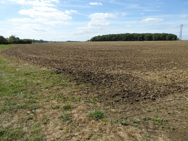
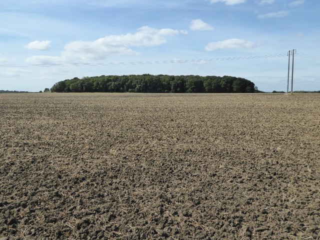
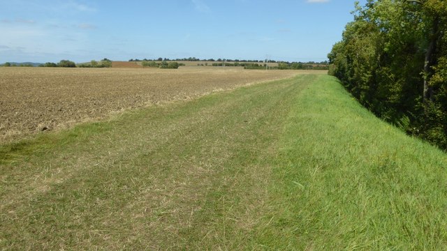
Situated within the Cotswolds, a designated Area of Outstanding Natural Beauty, Aston Hill boasts a diverse landscape characterized by rolling hills, picturesque valleys, and lush green fields. It is covered in a patchwork of woodland areas, including beech, oak, and coniferous trees, which provide a rich habitat for various wildlife species.

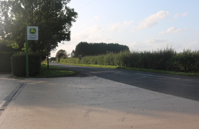
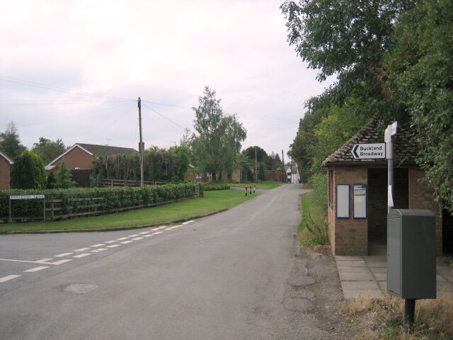
The hill is popular among outdoor enthusiasts, attracting hikers, walkers, and nature enthusiasts throughout the year. It offers a network of well-marked footpaths and trails, allowing visitors to explore its natural beauty while enjoying the fresh air and tranquility. On a clear day, one can even catch glimpses of the nearby Malvern Hills and the Black Mountains in Wales.

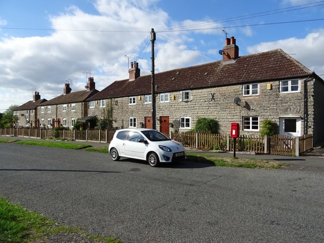
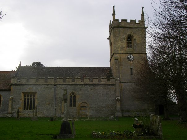
At the foot of Aston Hill lies the charming village of Aston, which adds to the hill's appeal. The village is home to a small community, with quaint cottages and a historic church dating back to the 12th century. Aston Hill serves as a backdrop to this idyllic rural setting, creating a picturesque scene that attracts tourists and locals alike.

Overall, Aston Hill in Gloucestershire is a captivating natural landmark that offers both recreational opportunities and stunning vistas. Its combination of scenic beauty, wildlife, and cultural heritage makes it a must-visit destination for those seeking a peaceful escape in the heart of the English countryside.

If you have any feedback on the listing, please let us know in the comments section below.
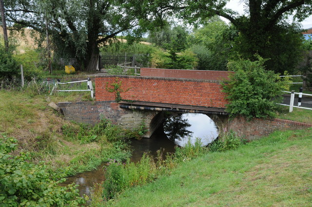
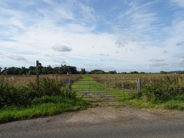
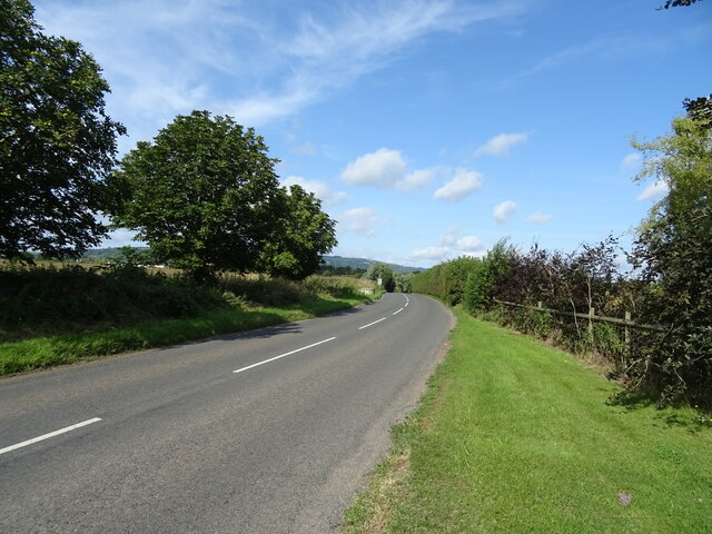
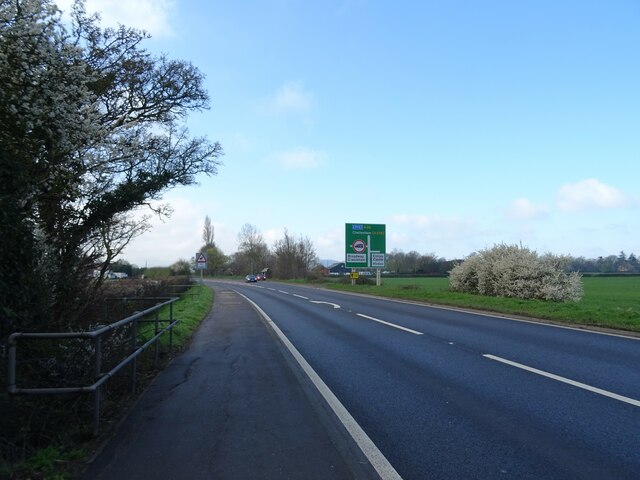
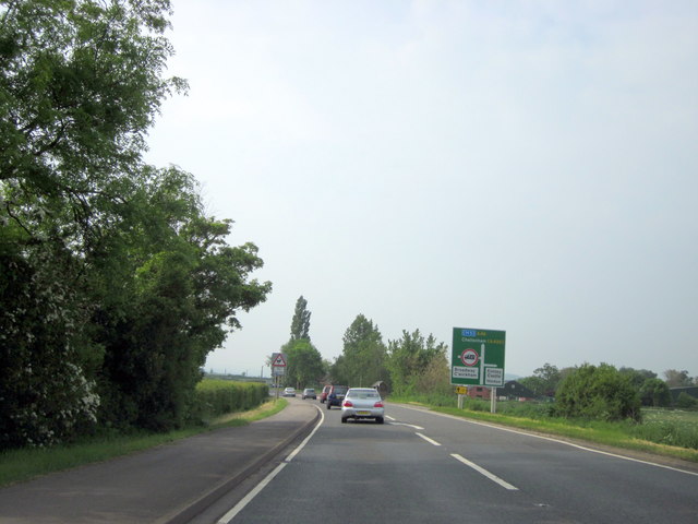
Aston Hill Images

Images are sourced within 2km of 52.052361/-1.9415633 or Grid Reference SP0439. Thanks to Geograph Open Source API. All images are credited.

Bridge over the River Isbourne Bridge over the River Isbourne at Hinton in the Green.
Bridge over the River Isbourne
Bridge over the River Isbourne at Hinton in the Green.
Hinton Church from just upstream of Hinton Mill
A46, Layby near Hinton Cross The A46 is an important cross-country route which runs from the West Country to the North Sea.  It starts to the east of Bath in Somerset and ends in Cleethorpes in North East Lincolnshire.  It is no longer a continuous route as large portions of the old (1923) road have been lost, bypassed, or replaced by motorway development. For more detail, see <span class="nowrap"><a title="http://en.wikipedia.org/wiki/A46_road" rel="nofollow ugc noopener" href="http://en.wikipedia.org/wiki/A46_road">Link</a><img style="margin-left:2px;" alt="External link" title="External link - shift click to open in new window" src="https://s1.geograph.org.uk/img/external.png" width="10" height="10"/></span> (Wikipedia Article).
A46, Layby near Hinton Cross
The A46 is an important cross-country route which runs from the West Country to the North Sea. It starts to the east of Bath in Somerset and ends in Cleethorpes in North East Lincolnshire. It is no longer a continuous route as large portions of the old (1923) road have been lost, bypassed, or replaced by motorway development. For more detail, see LinkExternal link (Wikipedia Article).
The Glebe Houses, Hinton Cross.
The Glebe
Houses, Hinton Cross.
A46 approaching Hinton Cross Looking north.
A46 approaching Hinton Cross
Looking north.
Minor road, Hinton Cross Towards Childswickham.
Minor road, Hinton Cross
Towards Childswickham.
Old Barn, The Villa
Old Barn, The Villa
Footpath to Hinton on the Green
National Cycle Route 41 Towards Elmley Castle.
National Cycle Route 41
Towards Elmley Castle.
A46 towards Cheltenham
A46 South of Evesham Turning For Elmley Castle Hinton
Arable field near Porter's Plantation A bridleway crosses this arable field, en route to Hinton on the Green.
Arable field near Porter's Plantation
A bridleway crosses this arable field, en route to Hinton on the Green.
Bridleway crossing an arable field Bridleway crossing an arable field towards Porter's Plantation seen on the horizon.
Bridleway crossing an arable field
Bridleway crossing an arable field towards Porter's Plantation seen on the horizon.
Bridleway to Hinton on the Green Bridleway crossing this arable field to Hinton on the Green.  Bredon Hill is on the horizon.
Bridleway to Hinton on the Green
Bridleway crossing this arable field to Hinton on the Green. Bredon Hill is on the horizon.
Field headland The bridleway crosses the field but because it has just been ploughed a followed this broad field headland.
Field headland
The bridleway crosses the field but because it has just been ploughed a followed this broad field headland.
A46 heading south Towards Hinton Cross.
A46 heading south
Towards Hinton Cross.
Houses in Hinton-on-the-Green A row of houses opposite the church in the village of Hinton-on-the-Green.  The cottages appear to been built with lias stone.
Houses in Hinton-on-the-Green
A row of houses opposite the church in the village of Hinton-on-the-Green. The cottages appear to been built with lias stone.
Unnamed Road in Hinton-on-the-Green It leads to Netherton Lane but the name stops on all the maps long before here.
Unnamed Road in Hinton-on-the-Green
It leads to Netherton Lane but the name stops on all the maps long before here.
Show me another place!

Aston Hill is located at Grid Ref: SP0439 (Lat: 52.052361, Lng: -1.9415633)

Administrative County: Worcestershire

District: Wychavon

Police Authority: West Mercia

What 3 Words

///mindset.bounding.verve. Near Evesham, Worcestershire

Related Wikis

Aston Somerville

Aston Somerville is a small village approximately 3 miles (4.8 km) south of Evesham, Worcestershire, England. == History == Historically, the Aston Somerville...

Hinton on the Green

Hinton on the Green is a village and civil parish in the Wychavon district of Worcestershire in England. It is situated at the foot of Bredon Hill, about...

Sedgeberrow

Sedgeberrow is a village and civil parish in the Wychavon district of Worcestershire, England, about 3 miles (4.8 km) south of Evesham. It stands beside...

Murcot

Murcot is a hamlet in the English county of Worcestershire. Murcot is located in the west of the Vale of Evesham and is to the west and south of the village...

Hinton railway station (England)

Hinton railway station was a station on the Midland Railway between Tewkesbury and Evesham, England. It opened 1 October 1864 by the Midland Railway. The...

Evesham United F.C.

Evesham United Football Club are an English football club based in Evesham, Worcestershire. They reached the first round proper of the FA Cup for the first...

Wormington

Wormington is a village civil parish in the Tewkesbury district, in Gloucestershire, England. It lies on the River Isbourne, 5 miles (8 km) north of Winchcombe...

Wickhamford

Wickhamford is a village and a civil parish in Worcestershire, England. It is situated on the A44 road approximately halfway between the towns of Evesham...

Nearby Amenities

Located within 500m of 52.052361,-1.9415633
Bus Stop
Childswickham Road
Bus: yes
Naptan AtcoCode: 2000G674007
Naptan Bearing: W
Naptan CommonName: Childswickham Road
Naptan Indicator: Adj
Naptan Landmark: Mount Farm
Naptan NaptanCode: wocgaptw
Naptan Street: Childswickham Road
Naptan Verified: no
Public Transport: platform
Source: naptan_import
Lat/Long: 52.055721/-1.9370117
Post Box
Collection Times: Mo-Fr 16:15; Sa 08:00
Post Box Type: lamp
Ref: WR12 40
Royal Cypher: EIIR
Royal Cypher Wikidata: Q33102113
Lat/Long: 52.0555867/-1.9366765
Natural: peak
Lat/Long: 52.0523524/-1.9411781
Tourism: viewpoint
Lat/Long: 52.0518937/-1.9402608
Cotswold Orchards
Location Transition: yes
Power: pole
Transformer: distribution
Voltage Primary: 11000
Lat/Long: 52.0555686/-1.9367299
Location Transition: yes
Power: pole
Lat/Long: 52.054969/-1.9363437
Power: pole
Lat/Long: 52.0536195/-1.9370981
Power: pole
Lat/Long: 52.0530496/-1.9382152
Power: pole
Lat/Long: 52.0524707/-1.9392841
Telecom Aston Hill
Power: pole
Transformer: distribution
Voltage Primary: 11000
Lat/Long: 52.0519124/-1.9403315
Power: pole
Lat/Long: 52.0541555/-1.9359957
Power: pole
Lat/Long: 52.0545571/-1.9352688
The data included in this document is from www.openstreetmap.org. The data is made available under ODbL.

Have you been to Aston Hill?

Leave your review of Aston Hill below (or comments, questions and feedback).