Smith Hill Plantation

Wood, Forest in Gloucestershire Wychavon

England

Smith Hill Plantation

Tally Ho Cottages These cottages are located at a sharp bend in the minor road, Murcot Rd that runs from Childswickham to Wickhamford. This bend was once a "t" junction  with the other road going to Murcot Farm.
Tally Ho Cottages Credit: Nigel Mykura

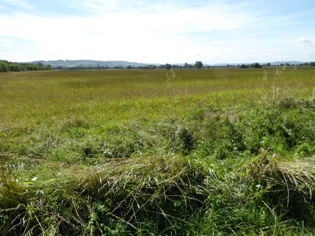
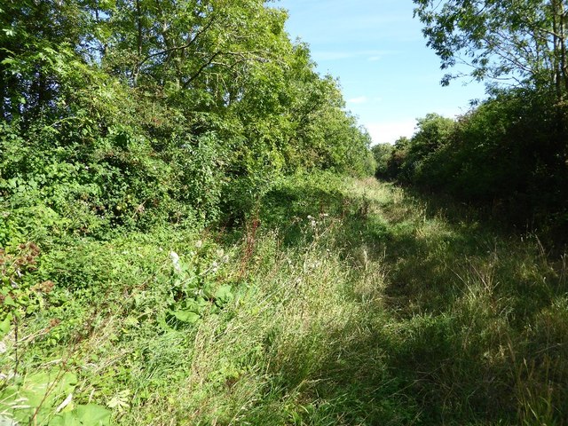
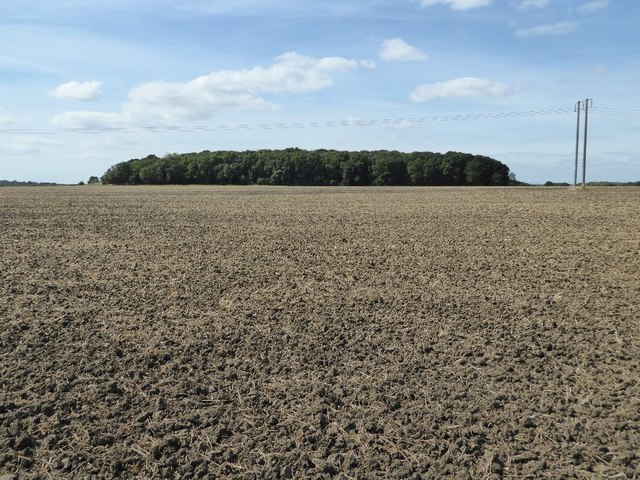
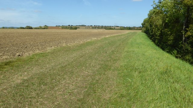
Smith Hill Plantation is a stunning woodland area located in Gloucestershire, England. Covering an area of approximately 100 acres, this plantation is known for its dense forest and diverse range of tree species. It is situated on the outskirts of the village of Smith Hill, which adds to its charm and accessibility.

The plantation boasts a variety of tree species, including oak, beech, pine, and birch, among others. The lush greenery and tall trees create a picturesque landscape that attracts nature enthusiasts and hikers alike. The forest floor is covered in a rich carpet of moss and ferns, adding to the enchanting ambiance of the woodland.

Walking trails wind through the plantation, offering visitors the opportunity to explore and immerse themselves in the natural beauty of the area. Birdwatchers will be delighted to observe a wide range of avian species, including woodpeckers, owls, and various songbirds. Squirrels and deer are also commonly spotted within the woodland, adding to the sense of wildlife abundance.

Smith Hill Plantation is a popular destination for outdoor activities such as hiking, picnicking, and photography. It provides a peaceful retreat from the hustle and bustle of everyday life, allowing visitors to connect with nature and enjoy the tranquility of the surroundings. Whether it's a leisurely stroll or a more challenging hike, this plantation offers something for everyone who appreciates the beauty of woodlands.

If you have any feedback on the listing, please let us know in the comments section below.

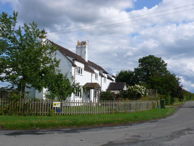
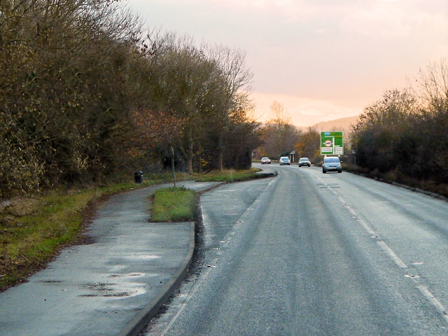
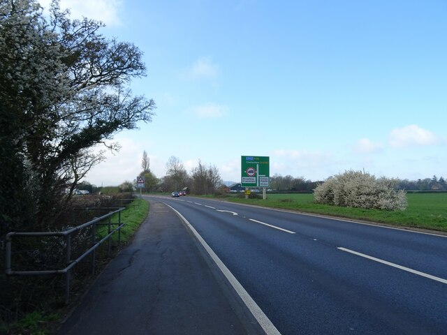
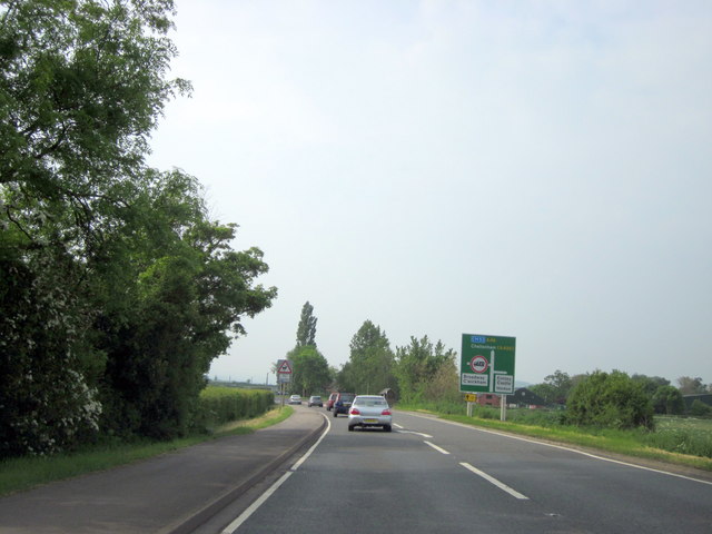
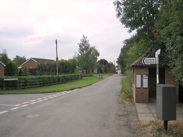
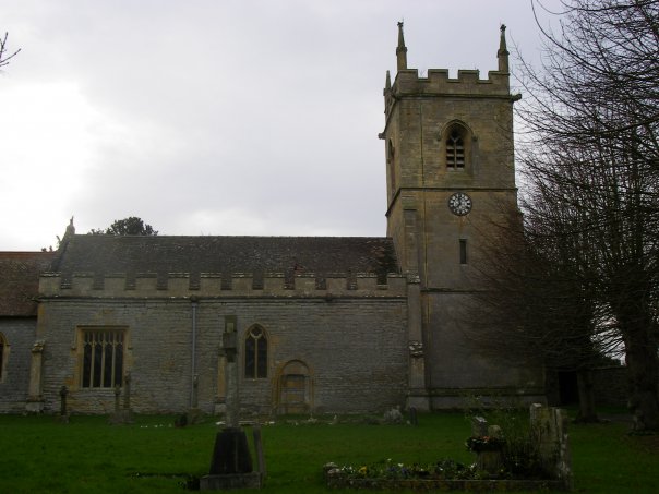
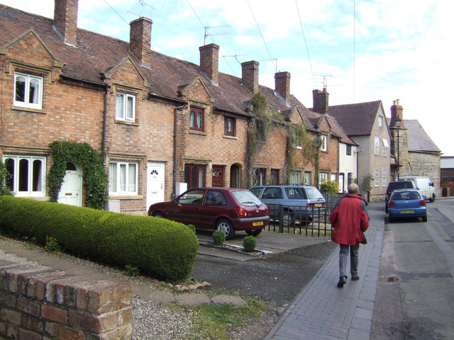
Smith Hill Plantation Images

Images are sourced within 2km of 52.057031/-1.931698 or Grid Reference SP0439. Thanks to Geograph Open Source API. All images are credited.

Tally Ho Cottages These cottages are located at a sharp bend in the minor road, Murcot Rd that runs from Childswickham to Wickhamford. This bend was once a "t" junction  with the other road going to Murcot Farm.
Tally Ho Cottages
These cottages are located at a sharp bend in the minor road, Murcot Rd that runs from Childswickham to Wickhamford. This bend was once a "t" junction with the other road going to Murcot Farm.
A46, Layby near Hinton Cross The A46 is an important cross-country route which runs from the West Country to the North Sea.  It starts to the east of Bath in Somerset and ends in Cleethorpes in North East Lincolnshire.  It is no longer a continuous route as large portions of the old (1923) road have been lost, bypassed, or replaced by motorway development. For more detail, see <span class="nowrap"><a title="http://en.wikipedia.org/wiki/A46_road" rel="nofollow ugc noopener" href="http://en.wikipedia.org/wiki/A46_road">Link</a><img style="margin-left:2px;" alt="External link" title="External link - shift click to open in new window" src="https://s1.geograph.org.uk/img/external.png" width="10" height="10"/></span> (Wikipedia Article).
A46, Layby near Hinton Cross
The A46 is an important cross-country route which runs from the West Country to the North Sea. It starts to the east of Bath in Somerset and ends in Cleethorpes in North East Lincolnshire. It is no longer a continuous route as large portions of the old (1923) road have been lost, bypassed, or replaced by motorway development. For more detail, see LinkExternal link (Wikipedia Article).
The Glebe Houses, Hinton Cross.
The Glebe
Houses, Hinton Cross.
A46 approaching Hinton Cross Looking north.
A46 approaching Hinton Cross
Looking north.
Minor road, Hinton Cross Towards Childswickham.
Minor road, Hinton Cross
Towards Childswickham.
A46 towards Cheltenham
A46 South of Evesham Turning For Elmley Castle Hinton
Road junction on Murcot Road Road junction on Murcot Road near Tally-ho Cottages near Wickhamford.  For the same location in February 2010, see: <a href="https://www.geograph.org.uk/photo/1725224">SP0640 : Tally-ho Cottages, Wickhamford</a>
Road junction on Murcot Road
Road junction on Murcot Road near Tally-ho Cottages near Wickhamford. For the same location in February 2010, see: SP0640 : Tally-ho Cottages, Wickhamford
Flat farmland in the Vale of Evesham The Vale of Evesham is synonymous which market gardening and horticulture but here is a view over arable farmland near Childswickham. The Cotswold Hills can be seen on the horizon.
Flat farmland in the Vale of Evesham
The Vale of Evesham is synonymous which market gardening and horticulture but here is a view over arable farmland near Childswickham. The Cotswold Hills can be seen on the horizon.
Bridleway to Wickhamford Bridleway between Hinton on the Green and Wickhamford.
Bridleway to Wickhamford
Bridleway between Hinton on the Green and Wickhamford.
Arable field near Porter's Plantation A bridleway crosses this arable field, en route to Hinton on the Green.
Arable field near Porter's Plantation
A bridleway crosses this arable field, en route to Hinton on the Green.
Bridleway crossing an arable field Bridleway crossing an arable field towards Porter's Plantation seen on the horizon.
Bridleway crossing an arable field
Bridleway crossing an arable field towards Porter's Plantation seen on the horizon.
Bridleway to Hinton on the Green Bridleway crossing this arable field to Hinton on the Green.  Bredon Hill is on the horizon.
Bridleway to Hinton on the Green
Bridleway crossing this arable field to Hinton on the Green. Bredon Hill is on the horizon.
Field headland The bridleway crosses the field but because it has just been ploughed a followed this broad field headland.
Field headland
The bridleway crosses the field but because it has just been ploughed a followed this broad field headland.
A46 heading south Towards Hinton Cross.
A46 heading south
Towards Hinton Cross.
The Vale of Evesham A solar farm by Field Farm at lower left, and the Vale Business Park in the centre.
The Vale of Evesham
A solar farm by Field Farm at lower left, and the Vale Business Park in the centre.
Unnamed Road in Hinton-on-the-Green It leads to Netherton Lane but the name stops on all the maps long before here.
Unnamed Road in Hinton-on-the-Green
It leads to Netherton Lane but the name stops on all the maps long before here.
Cheltenham Road at Hinton Cross
Show me another place!

Smith Hill Plantation is located at Grid Ref: SP0439 (Lat: 52.057031, Lng: -1.931698)

Administrative County: Worcestershire

District: Wychavon

Police Authority: West Mercia

What 3 Words

///hedgehog.shovels.coping. Near Badsey, Worcestershire

Related Wikis

Murcot

Murcot is a hamlet in the English county of Worcestershire. Murcot is located in the west of the Vale of Evesham and is to the west and south of the village...

Aston Somerville

Aston Somerville is a small village approximately 3 miles (4.8 km) south of Evesham, Worcestershire, England. == History == Historically, the Aston Somerville...

Hinton on the Green

Hinton on the Green is a village and civil parish in the Wychavon district of Worcestershire in England. It is situated at the foot of Bredon Hill, about...

Evesham United F.C.

Evesham United Football Club are an English football club based in Evesham, Worcestershire. They reached the first round proper of the FA Cup for the first...

Wickhamford

Wickhamford is a village and a civil parish in Worcestershire, England. It is situated on the A44 road approximately halfway between the towns of Evesham...

Sedgeberrow

Sedgeberrow is a village and civil parish in the Wychavon district of Worcestershire, England, about 3 miles (4.8 km) south of Evesham. It stands beside...

Bengeworth

Bengeworth is a locality adjoining Evesham in Worcestershire, England. In 1887 it had a population of 1,311. Today it has a school and an Anglican church...

Hinton railway station (England)

Hinton railway station was a station on the Midland Railway between Tewkesbury and Evesham, England. It opened 1 October 1864 by the Midland Railway. The...

Nearby Amenities

Located within 500m of 52.057031,-1.931698
Bus Stop
Childswickham Road
Bus: yes
Naptan AtcoCode: 2000G674007
Naptan Bearing: W
Naptan CommonName: Childswickham Road
Naptan Indicator: Adj
Naptan Landmark: Mount Farm
Naptan NaptanCode: wocgaptw
Naptan Street: Childswickham Road
Naptan Verified: no
Public Transport: platform
Source: naptan_import
Lat/Long: 52.055721/-1.9370117
Post Box
Collection Times: Mo-Fr 16:15; Sa 08:00
Post Box Type: lamp
Ref: WR12 40
Royal Cypher: EIIR
Royal Cypher Wikidata: Q33102113
Lat/Long: 52.0555867/-1.9366765
Mount Pleasant
Place: hamlet
Lat/Long: 52.0561368/-1.9364718
Power: pole
Lat/Long: 52.0528168/-1.9308622
Location Transition: yes
Power: pole
Lat/Long: 52.0528816/-1.9302546
Power: pole
Lat/Long: 52.05288/-1.930032
Power: pole
Lat/Long: 52.0529932/-1.9313473
Power: pole
Lat/Long: 52.053237/-1.9319769
Power: pole
Lat/Long: 52.0536804/-1.9330854
Power: pole
Lat/Long: 52.0539747/-1.929514
Power: pole
Lat/Long: 52.0541085/-1.9341714
Power: pole
Lat/Long: 52.0553047/-1.9286694
Power: pole
Lat/Long: 52.0587461/-1.9270762
Power: pole
Lat/Long: 52.0599451/-1.9266417
Power: pole
Lat/Long: 52.05665/-1.9278326
Location Transition: yes
Power: pole
Lat/Long: 52.0578391/-1.9274034
Cotswold Orchards
Location Transition: yes
Power: pole
Transformer: distribution
Voltage Primary: 11000
Lat/Long: 52.0555686/-1.9367299
Location Transition: yes
Power: pole
Lat/Long: 52.054969/-1.9363437
Power: pole
Lat/Long: 52.0541555/-1.9359957
Power: pole
Lat/Long: 52.0545571/-1.9352688
The data included in this document is from www.openstreetmap.org. The data is made available under ODbL.

Have you been to Smith Hill Plantation?

Leave your review of Smith Hill Plantation below (or comments, questions and feedback).