Knoll Hill
Hill, Mountain in Yorkshire
England
Knoll Hill
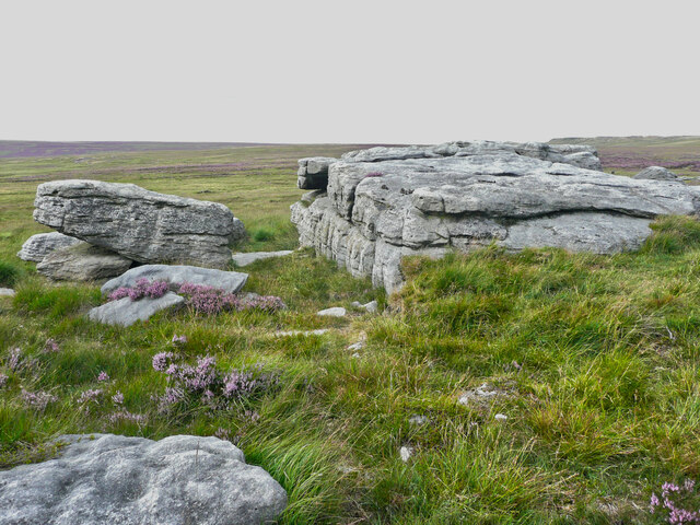
Knoll Hill, situated in the county of Yorkshire, England, is a picturesque and prominent hill that forms part of the North York Moors National Park. Standing at an elevation of approximately 423 meters (1,388 feet), it offers breathtaking panoramic views of the surrounding moorland and countryside.
Covered in heather and gorse, Knoll Hill boasts a diverse range of flora and fauna, making it a haven for nature lovers and wildlife enthusiasts. The hill is home to various species, including birds such as curlews, lapwings, and golden plovers, which can often be spotted soaring through the skies.
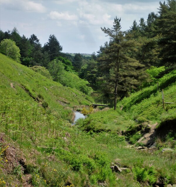
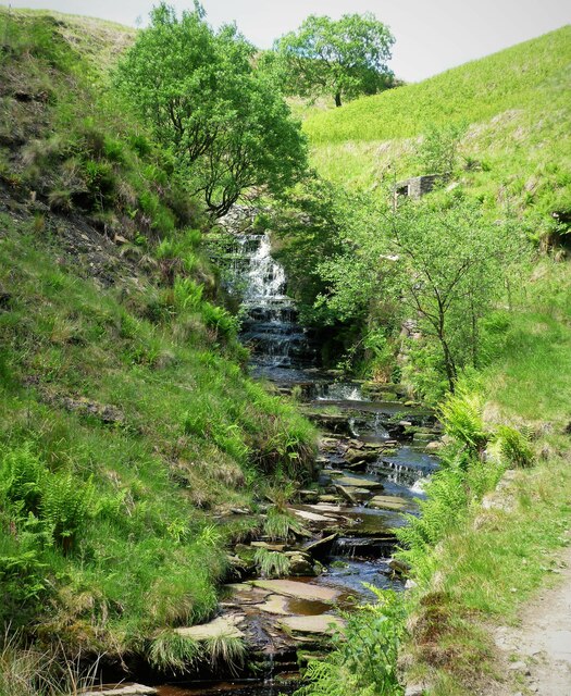
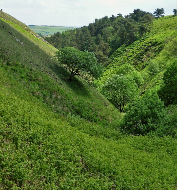
The hill's slopes are crisscrossed by numerous footpaths and trails, making it a popular destination for hikers and walkers. These paths lead visitors through the tranquil moorland, with opportunities to discover hidden valleys, ancient stone circles, and remnants of Iron Age settlements. As visitors ascend to the summit, they are rewarded with stunning views that stretch across the North York Moors and beyond.
Knoll Hill also holds historical significance, with evidence of human activity spanning thousands of years. Bronze Age burial mounds and Iron Age forts can be found in its vicinity, offering glimpses into the region's rich past.
Whether it's the allure of the natural beauty, the chance to explore ancient history, or the desire for a peaceful escape, Knoll Hill offers a captivating experience for all who venture to its slopes.
If you have any feedback on the listing, please let us know in the comments section below.
Knoll Hill Images
Images are sourced within 2km of 53.775114/-1.939193 or Grid Reference SE0430. Thanks to Geograph Open Source API. All images are credited.


Knoll Hill is located at Grid Ref: SE0430 (Lat: 53.775114, Lng: -1.939193)
Division: West Riding
Unitary Authority: Calderdale
Police Authority: West Yorkshire
What 3 Words
///cliff.kicks.envisage. Near Queensbury, West Yorkshire
Nearby Locations
Related Wikis

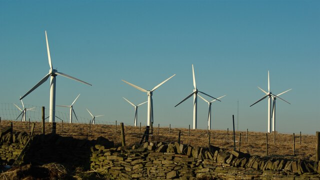
Ovenden Moor Wind Farm
Ovenden Moor Wind Farm is a wind powered electricity generating site in England. Ovenden Moor is located north of Halifax and west of Bradford in West...
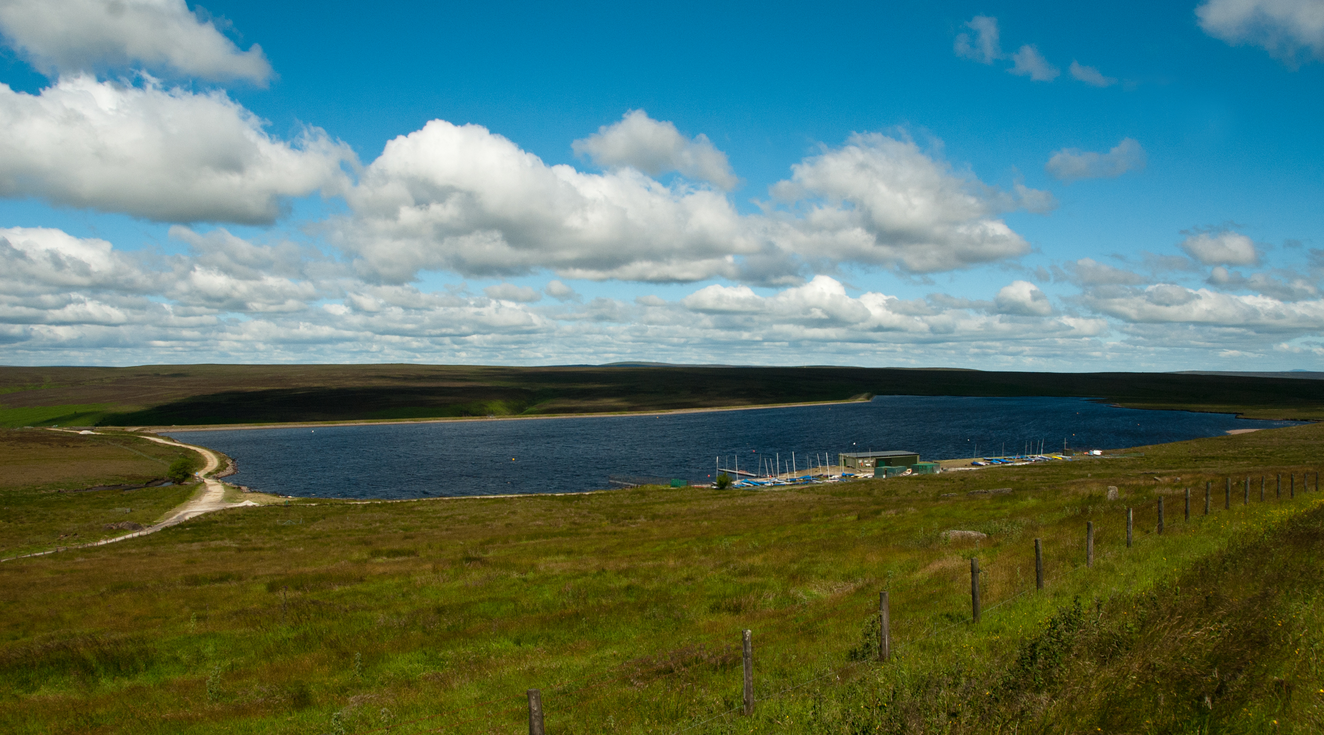
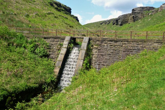
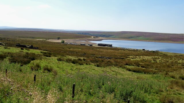
Warley Moor Reservoir
Warley Moor Reservoir, also known as Fly Flatts Reservoir, is a drinking water reservoir in West Yorkshire, England, owned and operated by Yorkshire Water...

Wainstalls
Wainstalls is a village near Halifax, in the Calderdale district of West Yorkshire, England. The area is rural and much of the area is farmland. Wainstalls...

Ogden, West Yorkshire
Ogden in West Yorkshire, England, is a small hamlet 5.0 miles (8 km) north of Halifax. The hamlet falls within the Calderdale Ward of Illingworth and Mixenden...
Nearby Amenities
Located within 500m of 53.775114,-1.939193Have you been to Knoll Hill?
Leave your review of Knoll Hill below (or comments, questions and feedback).