Bilberry Hill
Hill, Mountain in Yorkshire
England
Bilberry Hill

Bilberry Hill is a picturesque hill located in the county of Yorkshire, England. Situated in the North York Moors National Park, it forms part of the expansive moorland landscape that is characteristic of this region. With an elevation of approximately 380 meters (1,250 feet), it is not considered a mountain but rather a prominent hill.
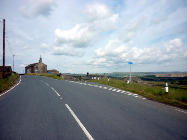
The hill is renowned for its breathtaking views, offering visitors a panoramic vista of the surrounding countryside. From its summit, on a clear day, one can see rolling hills, lush green valleys, and even glimpses of the North Sea in the distance. The landscape is dotted with heather, bracken, and bilberry bushes, giving the hill its name.
Bilberry Hill is a popular destination for walkers and hikers, with numerous footpaths crisscrossing its slopes. These trails cater to different abilities, ranging from gentle strolls to more challenging hikes, ensuring that there is something for everyone. Nature enthusiasts can also spot a variety of wildlife in the area, including birds of prey, grouse, and even the occasional deer.
The hill has a rich history, with evidence of human activity dating back thousands of years. Archaeological sites, such as prehistoric burial mounds and ancient stone circles, can be found near its base. These remnants offer a glimpse into the lives of the people who once inhabited this area.
Overall, Bilberry Hill is a captivating natural landmark in Yorkshire, providing a perfect escape for those seeking tranquility, stunning views, and a connection to the region's ancient past.
If you have any feedback on the listing, please let us know in the comments section below.
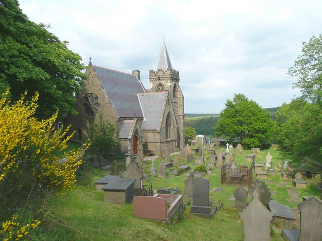
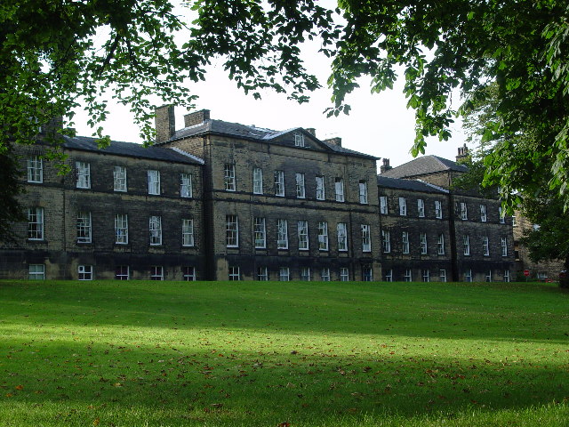
Bilberry Hill Images
Images are sourced within 2km of 53.641272/-1.9395209 or Grid Reference SE0416. Thanks to Geograph Open Source API. All images are credited.


Bilberry Hill is located at Grid Ref: SE0416 (Lat: 53.641272, Lng: -1.9395209)
Division: West Riding
Unitary Authority: Kirklees
Police Authority: West Yorkshire
What 3 Words
///dean.ballots.fuses. Near Ripponden, West Yorkshire
Nearby Locations
Related Wikis

Stott Hall Farm
Stott Hall Farm is a farm located between the eastbound and westbound carriageways of the M62 motorway in Calderdale, England. It is the only farm in the...

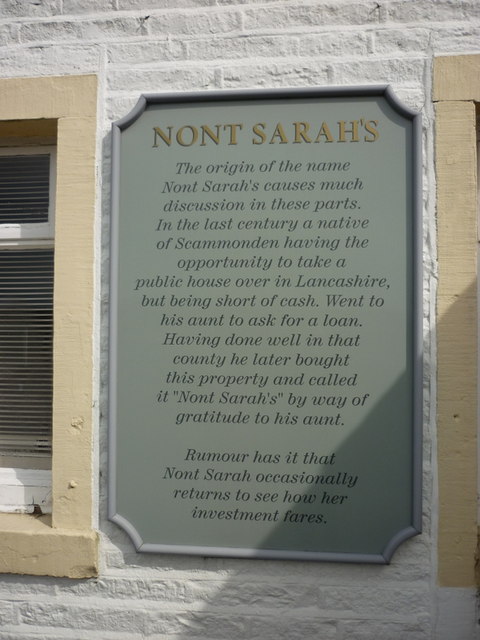
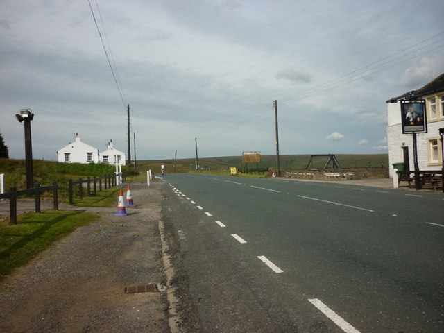
Scammonden Bridge
Scammonden Bridge, also known locally as the Brown Cow Bridge (after the nearby Brown Cow Inn, now closed), spans the Deanhead cutting carrying the B6114...
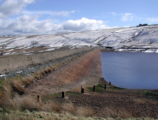
Deanhead Reservoir
Deanhead Reservoir is a reservoir near Scammonden, in the metropolitan district of Kirklees, West Yorkshire, England. It is named after Dean Head, a village...
Scammonden Reservoir
Scammonden Reservoir is a water reservoir in West Yorkshire, England. Its water surface area when full is 42 hectares (0.16 sq mi). The level of the bellmouth...

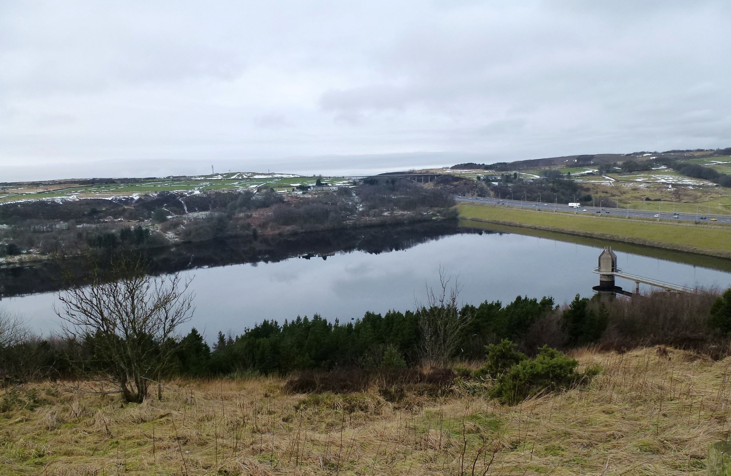
Booth Wood Reservoir
Booth Wood Reservoir is a man-made upland reservoir that lies north of the M62 motorway and south of the A672 road near to Rishworth and Ripponden in Calderdale...
Scammonden
Scammonden or Dean Head was a village close to Huddersfield, in the Dean Head Valley, England, before the valley was flooded to create Scammonden Reservoir...

Pole Moor
Pole Moor is a hamlet between Outlane and Scammonden in Kirklees, England. It is situated on a high moorland plateau between Slaithwaite and Wholestone...
Rishworth School
Rishworth School is a co-educational independent school in the village of Rishworth, near Halifax, in West Yorkshire, England. With Heathfield, its junior...
Nearby Amenities
Located within 500m of 53.641272,-1.9395209Have you been to Bilberry Hill?
Leave your review of Bilberry Hill below (or comments, questions and feedback).