Crook Hill
Hill, Mountain in Northumberland
England
Crook Hill

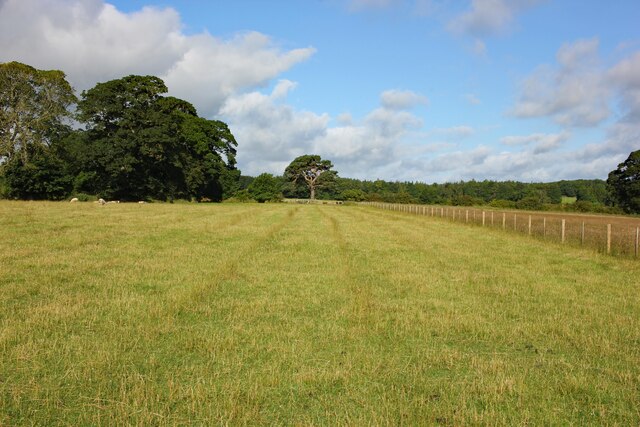
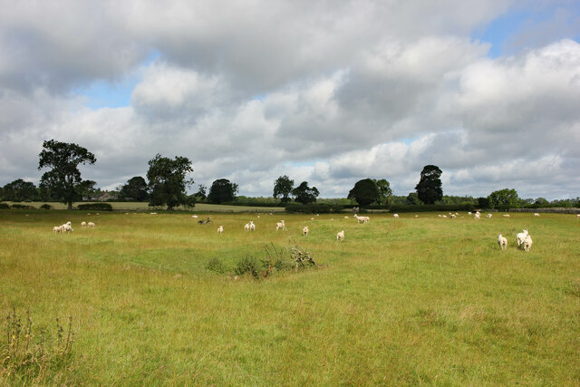
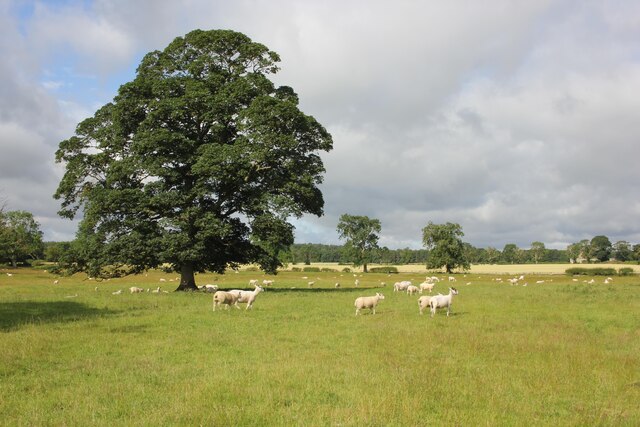
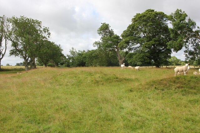
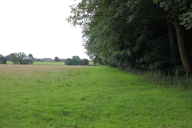
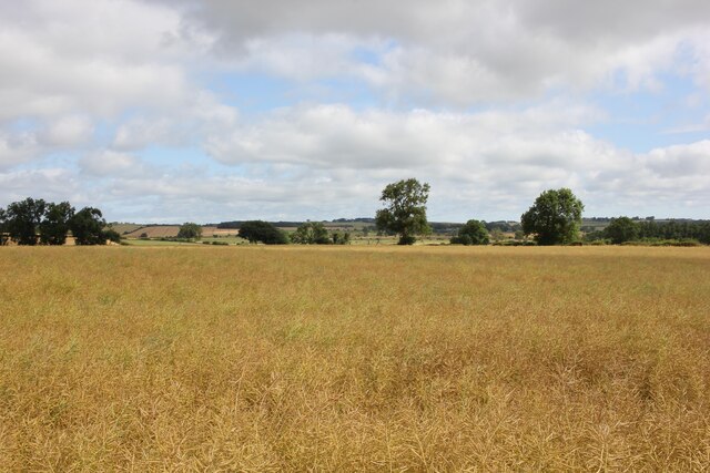
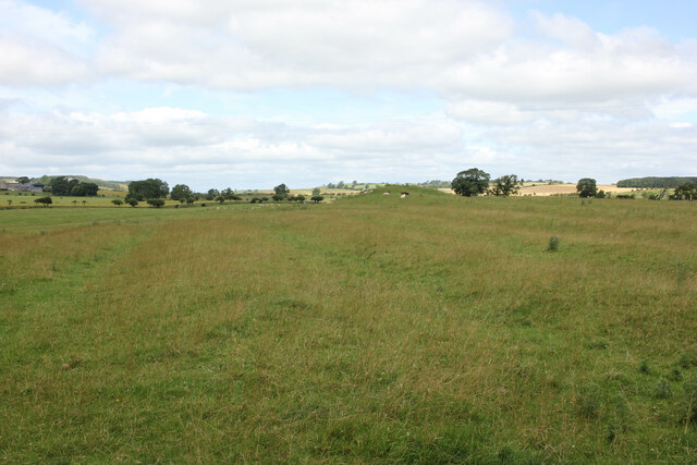
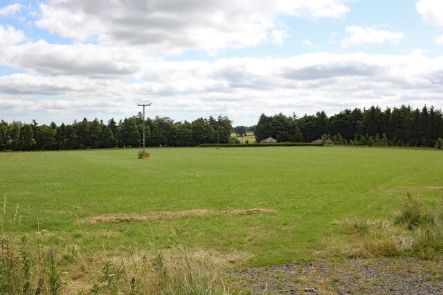
Crook Hill is a prominent hill located in the county of Northumberland, England. With an elevation of approximately 472 meters (1,549 feet), it is considered one of the notable hills in the region. Situated near the village of Humshaugh, Crook Hill offers breathtaking views of the surrounding Northumberland countryside.
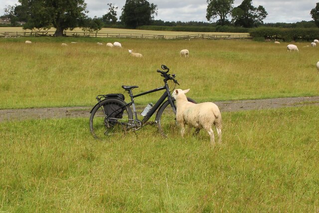
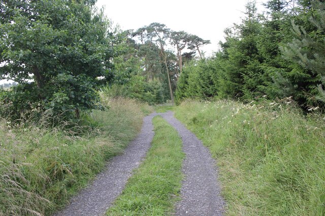
The hill is characterized by its gently sloping sides and a relatively flat summit, making it accessible for hikers and walkers of various abilities. It is predominantly covered in heather and grass, creating a picturesque landscape, especially during the summer months when the heather blooms with vibrant purple hues.
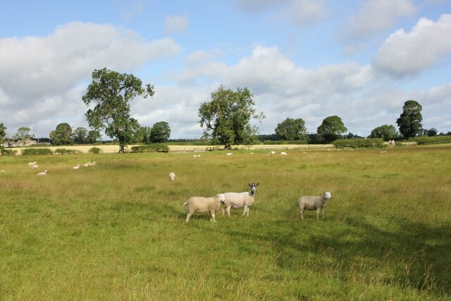
Crook Hill is part of the North Pennines Area of Outstanding Natural Beauty, which highlights its ecological and cultural significance. It is also a designated Site of Special Scientific Interest (SSSI) due to its diverse flora and fauna. The hill is home to a variety of bird species, including buzzards, kestrels, and curlews, as well as various mammals like hares and rabbits.
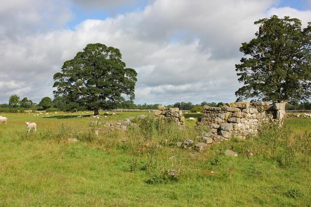
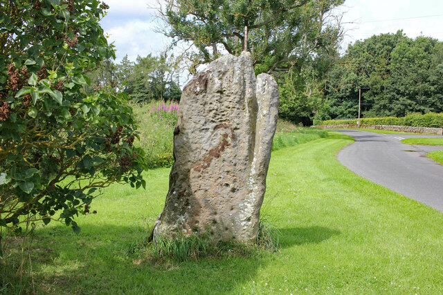
Additionally, Crook Hill holds historical importance. It is believed to have been a settlement during the Iron Age, with remnants of ancient stone structures found on its slopes. The hill has also witnessed human activity throughout the centuries, with evidence of mining and quarrying in the area.
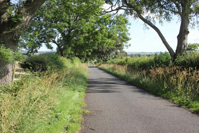
Crook Hill attracts outdoor enthusiasts and nature lovers who seek tranquility and panoramic views. Its accessibility, natural beauty, and historical significance make it a popular destination for walking, hiking, and exploring the Northumberland countryside.
If you have any feedback on the listing, please let us know in the comments section below.
Crook Hill Images
Images are sourced within 2km of 55.035974/-1.9497299 or Grid Reference NZ0371. Thanks to Geograph Open Source API. All images are credited.

Crook Hill is located at Grid Ref: NZ0371 (Lat: 55.035974, Lng: -1.9497299)
Unitary Authority: Northumberland
Police Authority: Northumbria
What 3 Words
///soonest.panels.lion. Near Corbridge, Northumberland
Nearby Locations
Related Wikis

Matfen Hall
Matfen Hall is a 19th-century country mansion in Matfen, Northumberland, England, the seat of the Blackett baronets and now also a hotel and country golf...
Matfen
Matfen is a village and a civil parish in Northumberland, England, near the town of Hexham and the city of Newcastle upon Tyne. It is an example of a 19th...

Milecastle 19
Milecastle 19 (Matfen Piers) was a milecastle of the Roman Hadrian's Wall. Sited just to the east of the hamlet of Matfen Piers, the milecastle is today...

Great Whittington
Great Whittington is a village and former civil parish, now in the parish of Whittington, in Northumberland, England, 7 miles NE of Hexham. In 1951 the...

Fenwick Tower, Northumberland
Fenwick Tower was a 12th-century tower house at Fenwick, Matfen, Northumberland, England. The house was the home of the Fenwick family from the 12th century...

Milecastle 20
Milecastle 20 (Halton Shields) was one of the milecastles on Hadrian's Wall (grid reference NZ01886868). It is situated in the hamlet of Halton Shields...

Milecastle 18
Milecastle 18 (East Wallhouses) was a milecastle of the Roman Hadrian's Wall. It is located to the west of the settlement of East Wallhouses in Northumberland...

Ryal, Northumberland
Ryal or Ryall is a village and former civil parish about 13 miles from Hexham, now in the parish of Matfen, in the county of Northumberland, England. In...
Nearby Amenities
Located within 500m of 55.035974,-1.9497299Have you been to Crook Hill?
Leave your review of Crook Hill below (or comments, questions and feedback).