Black Hill
Hill, Mountain in Yorkshire Richmondshire
England
Black Hill
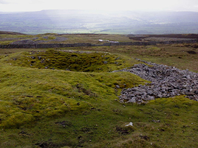
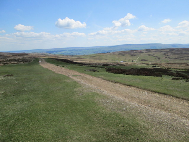
Black Hill is a prominent hill located in the South Pennines of Yorkshire, England. Situated in the metropolitan borough of Kirklees, it forms part of the Peak District National Park. With an elevation of 582 meters (1,909 feet), it ranks as the highest point in West Yorkshire.
Known for its distinctive dark peat-covered summit, Black Hill offers breathtaking panoramic views of the surrounding landscape. On clear days, one can see as far as the cities of Manchester and Leeds, as well as the famous Huddersfield Narrow Canal and Wessenden Valley. The hill is a popular destination for hikers, nature enthusiasts, and photographers, who are captivated by its rugged beauty.
The terrain of Black Hill is characterized by a mix of gritstone and peat bogs, making it a challenging but rewarding hike. The path leading to the summit is well-maintained and easily accessible, although caution is advised during wet weather to avoid sinking into the marshy ground.
The hill is also home to a variety of wildlife, including grouse, curlews, and golden plovers. It is designated as a Site of Special Scientific Interest (SSSI) due to its unique flora and fauna, including rare species such as bilberry and crowberry.
Black Hill offers a peaceful retreat for those seeking solitude and a connection with nature. Its rugged charm, stunning views, and ecological significance make it a must-visit destination for outdoor enthusiasts and nature lovers alike.
If you have any feedback on the listing, please let us know in the comments section below.
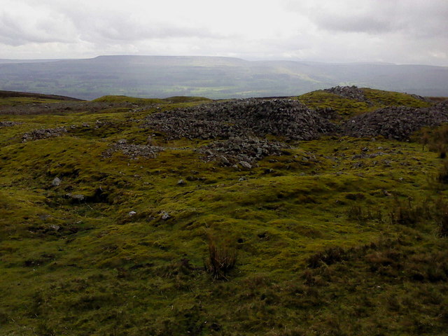
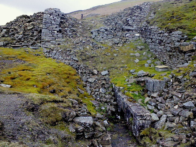
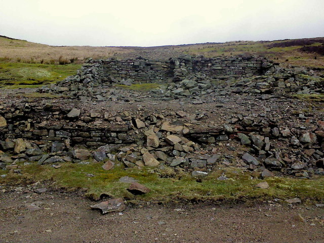
Black Hill Images
Images are sourced within 2km of 54.335/-1.9503997 or Grid Reference SE0393. Thanks to Geograph Open Source API. All images are credited.


Black Hill is located at Grid Ref: SE0393 (Lat: 54.335, Lng: -1.9503997)
Division: North Riding
Administrative County: North Yorkshire
District: Richmondshire
Police Authority: North Yorkshire
What 3 Words
///apply.installs.pools. Near Leyburn, North Yorkshire
Nearby Locations
Related Wikis

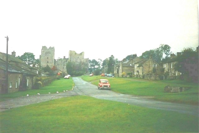
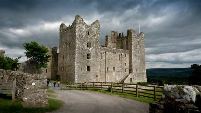
Castle Bolton
Castle Bolton is a village in North Yorkshire, England. It is in Wensleydale, one of the Yorkshire Dales. The village takes its name from Bolton Castle...

Bolton Castle
Bolton Castle is a 14th-century castle located in Wensleydale, Yorkshire, England (grid reference SE03379183). The nearby village of Castle Bolton takes...

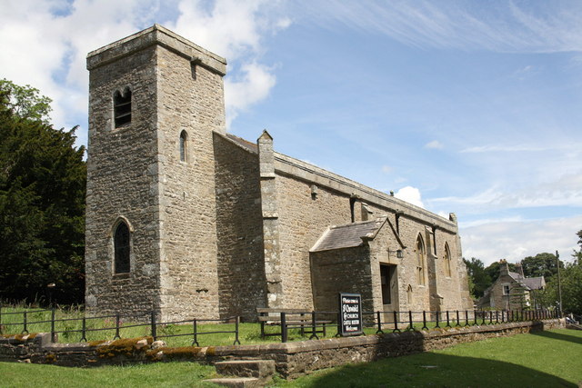
St Oswald's Church, Castle Bolton
St Oswald's Church, Castle Bolton is a Grade II* listed parish church in the Church of England: 106 located in Castle Bolton, North Yorkshire. == History... ==
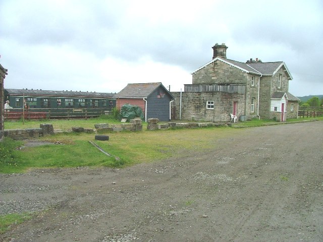
Redmire railway station
Redmire railway station is the current western terminus of the Wensleydale Railway and serves the village of Redmire in North Yorkshire, England. It is...
Nearby Amenities
Located within 500m of 54.335,-1.9503997Have you been to Black Hill?
Leave your review of Black Hill below (or comments, questions and feedback).