Tongues Hill

Hill, Mountain in Northumberland

England

Tongues Hill

Farmhouse, Sandyway Heads There is a photo of the farm here <a href="https://www.geograph.org.uk/photo/1190994">NZ0474 : Sandyway Heads, Ingoe</a>
The three stones lying by the gate are described here <a href="https://www.geograph.org.uk/photo/5082299">NZ0474 : Archaeological curiosities, Sandyway Heads</a>
Farmhouse, Sandyway Heads Credit: Andrew Curtis

Tongues Hill is a prominent hill located in the county of Northumberland, England. Standing at an elevation of approximately 285 meters (935 feet), it forms part of the Pennines, a range of hills and mountains stretching across Northern England.

Situated near the village of Slaley, Tongues Hill offers breathtaking panoramic views of the surrounding countryside. Its position grants visitors a sweeping vista of the Tyne Valley, with the iconic Hadrian's Wall visible in the distance. The hill is characterized by its gently sloping sides, covered in lush green vegetation, which adds to its picturesque appeal.

Tongues Hill is a popular destination for outdoor enthusiasts and hikers, due to its accessible location and the range of trails that wind their way to its summit. The hill's ridgeline provides an excellent vantage point for birdwatching, with sightings of various species, including buzzards and kestrels, being common.

Historically, Tongues Hill has also played a significant role in the region. It is believed to have been a strategic lookout point during the Roman occupation of Britain, as evidenced by the remnants of a Roman signal station found at its summit. The hill's strategic location allowed for the transmission of messages across the landscape, aiding in communication and the control of the surrounding area.

In conclusion, Tongues Hill is a notable landmark in Northumberland, offering stunning views, recreational opportunities, and a glimpse into the region's rich history. Its accessibility and natural beauty make it a must-visit destination for nature lovers and history enthusiasts alike.

If you have any feedback on the listing, please let us know in the comments section below.
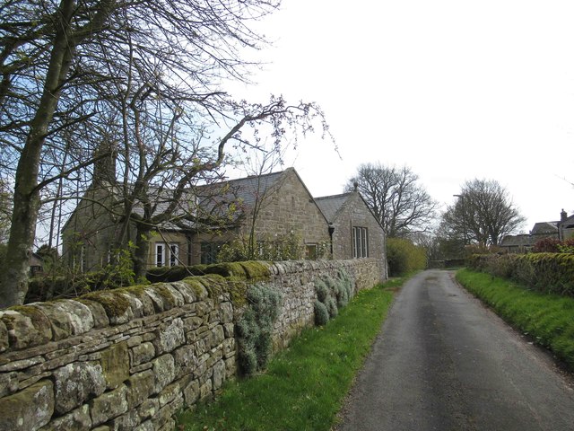
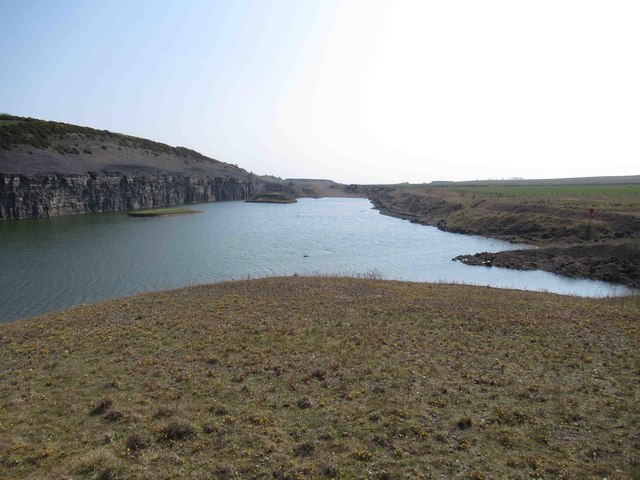
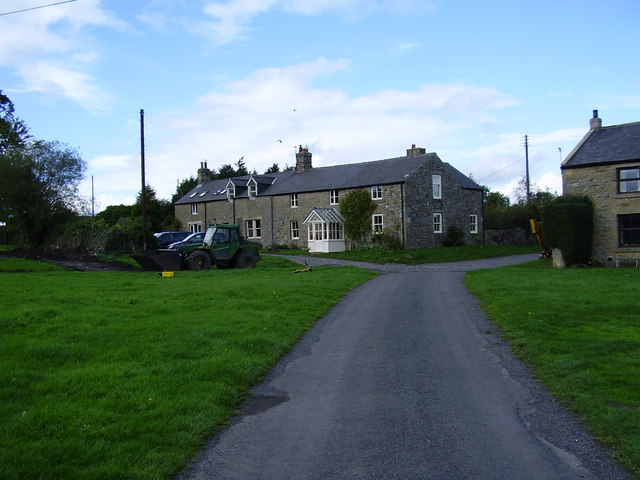
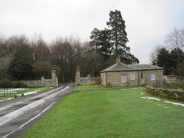
Tongues Hill Images

Images are sourced within 2km of 55.082163/-1.9498446 or Grid Reference NZ0376. Thanks to Geograph Open Source API. All images are credited.

Farmhouse, Sandyway Heads There is a photo of the farm here <a href="https://www.geograph.org.uk/photo/1190994">NZ0474 : Sandyway Heads, Ingoe</a>
The three stones lying by the gate are described here <a href="https://www.geograph.org.uk/photo/5082299">NZ0474 : Archaeological curiosities, Sandyway Heads</a>
Farmhouse, Sandyway Heads
There is a photo of the farm here NZ0474 : Sandyway Heads, Ingoe The three stones lying by the gate are described here NZ0474 : Archaeological curiosities, Sandyway Heads
Archaeological curiosities, Sandyway Heads Sitting beside the garden gate outside the farmhouse of Sandyway Heads <a href="https://www.geograph.org.uk/photo/5082290">NZ0474 : Farmhouse, Sandyway Heads</a> are the upper and lower stones of a rotary-type beehive quern (of possible Iron Age or Romano-British date) and a nice cup and ring marked stone (late Neolithic or Bronze Age). The marked triangular-shaped stone has a deep cup surrounded by three rings and a groove leading to a smaller cup on the upper side, and a single cup and short groove on the underside, and is considered likely to have been part of a burial cairn or cist. The farmer at Sandyway Heads told us it had originally been found in the rubble of the track leading from Ingoe to the farm, so its original location is unknown.

A cup-marked standing stone, The Warrior Stone, stands in a field about 200m south of the farm <a href="https://www.geograph.org.uk/photo/1190980">NZ0474 : The Warrior Stone, Ingoe</a> and a Bronze Age round cairn stands on the edge of a scarp in another field just to its east. During the 19th century several Bronze Age objects were discovered in this area including fragments of two bronze shields and a small axe.

The quern stone, of a later date, may be associated with the three hut circles of the Romano-British type located 180m north-east of the farm. There is another hut circle above Moralees Crag just south of the round cairn.
Archaeological curiosities, Sandyway Heads
Sitting beside the garden gate outside the farmhouse of Sandyway Heads NZ0474 : Farmhouse, Sandyway Heads are the upper and lower stones of a rotary-type beehive quern (of possible Iron Age or Romano-British date) and a nice cup and ring marked stone (late Neolithic or Bronze Age). The marked triangular-shaped stone has a deep cup surrounded by three rings and a groove leading to a smaller cup on the upper side, and a single cup and short groove on the underside, and is considered likely to have been part of a burial cairn or cist. The farmer at Sandyway Heads told us it had originally been found in the rubble of the track leading from Ingoe to the farm, so its original location is unknown. A cup-marked standing stone, The Warrior Stone, stands in a field about 200m south of the farm NZ0474 : The Warrior Stone, Ingoe and a Bronze Age round cairn stands on the edge of a scarp in another field just to its east. During the 19th century several Bronze Age objects were discovered in this area including fragments of two bronze shields and a small axe. The quern stone, of a later date, may be associated with the three hut circles of the Romano-British type located 180m north-east of the farm. There is another hut circle above Moralees Crag just south of the round cairn.
House at Ingoe Old house, ornate porch and modern solar panels.
House at Ingoe
Old house, ornate porch and modern solar panels.
Ornate Carvings above Porch House at Ingoe
Ornate Carvings above Porch
House at Ingoe
Old and New Housing at Ingoe
Former Ingoe School Now a house.
Former Ingoe School
Now a house.
North Crag near Ingoe
Lynup Hill Farm
Lynup Hill Farm
Free Range hen House, Kearsley
Stile and Footbridge Both in need of some loving attention
Stile and Footbridge
Both in need of some loving attention
Mootlaw Quarry now Mootlaw Lake
The Great Limestone at Mootlaw Quarry The Carboniferous era (meaning coal-bearing), roughly 350 – 300 million years ago was the era, during different periods of which, there was both extensive sea-cover and huge marshy land masses. This led to the laying down of the materials both for limestone and coal, both of which were vital ingredients of the Industrial Revolution.

Within Great Britain the suite of rocks known traditionally as the Carboniferous Limestone Series was deposited as marine sediments.

 The limestone visible at Mootlaw clearly shows several indications of its origin and its subsequent changes. The shales that overlie the Great Limestone are notable for a rich and varied fauna of brachiopods, molluscs, gastropods, crinoids and goniatites. The shales have also yielded an almost complete, fully articulated, crinoid: such fossils are almost invariably found in a fragmentary condition.

 The limestone has been laid down in beds (layers) over long periods, which have different characteristics, with intervening beds of other materials. And there are many examples of folds (Geological folds occurs when one or a stack of originally flat and planar surfaces, such as sedimentary strata are bent or curved as a result of permanent deformation).
The Great Limestone at Mootlaw Quarry
The Carboniferous era (meaning coal-bearing), roughly 350 – 300 million years ago was the era, during different periods of which, there was both extensive sea-cover and huge marshy land masses. This led to the laying down of the materials both for limestone and coal, both of which were vital ingredients of the Industrial Revolution. Within Great Britain the suite of rocks known traditionally as the Carboniferous Limestone Series was deposited as marine sediments. The limestone visible at Mootlaw clearly shows several indications of its origin and its subsequent changes. The shales that overlie the Great Limestone are notable for a rich and varied fauna of brachiopods, molluscs, gastropods, crinoids and goniatites. The shales have also yielded an almost complete, fully articulated, crinoid: such fossils are almost invariably found in a fragmentary condition. The limestone has been laid down in beds (layers) over long periods, which have different characteristics, with intervening beds of other materials. And there are many examples of folds (Geological folds occurs when one or a stack of originally flat and planar surfaces, such as sedimentary strata are bent or curved as a result of permanent deformation).
The road to Kearsley The locality is dotted with poultry houses.
The road to Kearsley
The locality is dotted with poultry houses.
The road to Mootlaw Quarry The quarry is now closed.
The road to Mootlaw Quarry
The quarry is now closed.
The road to Kirkheaton A long straight cul-de-sac leading to the remote village of Kirkheaton.
The road to Kirkheaton
A long straight cul-de-sac leading to the remote village of Kirkheaton.
Poultry house at Kearsley One of many.
Poultry house at Kearsley
One of many.
Show me another place!

Tongues Hill is located at Grid Ref: NZ0376 (Lat: 55.082163, Lng: -1.9498446)

Unitary Authority: Northumberland

Police Authority: Northumbria

What 3 Words

///comforted.reserving.websites. Near Meldon, Northumberland

Related Wikis

Kirkheaton, Northumberland

Kirkheaton (English: ) is a village and former civil parish, now in the parish of Capheaton, in the county of Northumberland, England. The village lies...

Ryal, Northumberland

Ryal or Ryall is a village and former civil parish about 13 miles from Hexham, now in the parish of Matfen, in the county of Northumberland, England. In...

Capheaton

Capheaton is a village and civil parish in Northumberland, England, about 25 miles (40 km) to the northwest of Newcastle upon Tyne. The population at the...

Capheaton Hall

Capheaton Hall, near Wallington, Northumberland, is an English country house, the seat of the Swinburne Baronets and a childhood home of the poet Algernon...

Have you been to Tongues Hill?

Leave your review of Tongues Hill below (or comments, questions and feedback).