Bath Plantation

Wood, Forest in Northumberland

England

Bath Plantation

Footpath to Standing Stone
Footpath to Standing Stone Credit: Jeff Buck

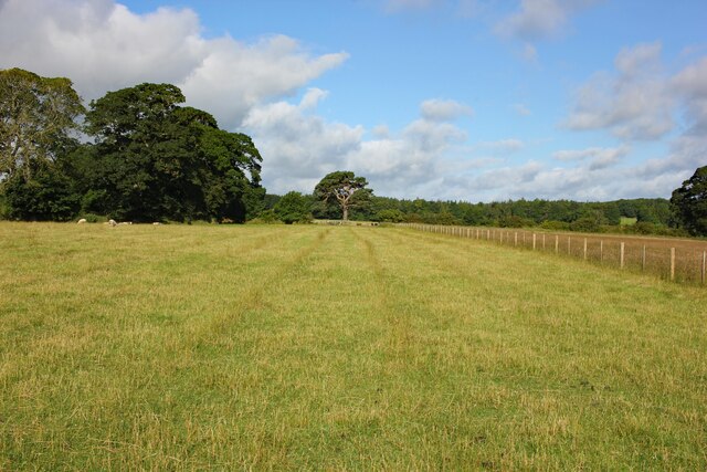
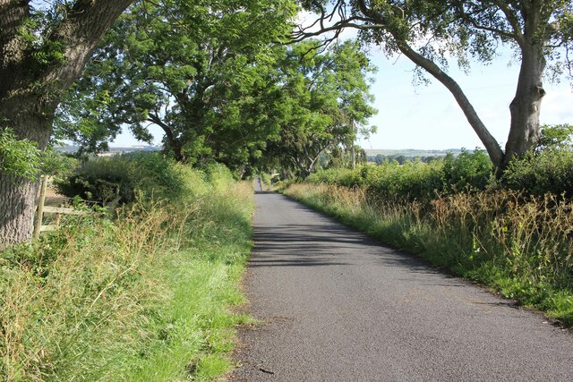
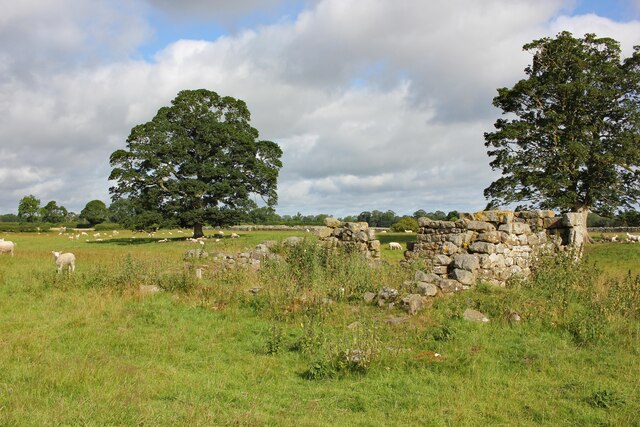
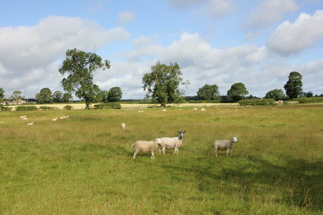
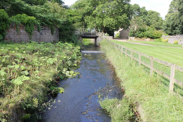
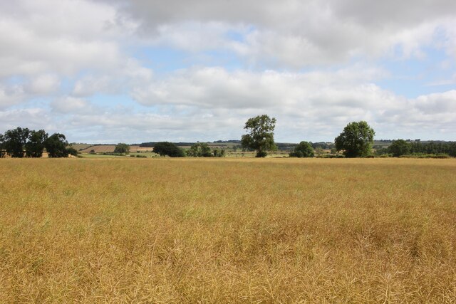
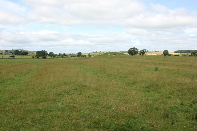
Bath Plantation, located in Northumberland, is a stunning woodland area renowned for its natural beauty and rich biodiversity. Covering a vast expanse, the plantation is an integral part of the local landscape, attracting nature enthusiasts, hikers, and those seeking tranquility in a picturesque setting.

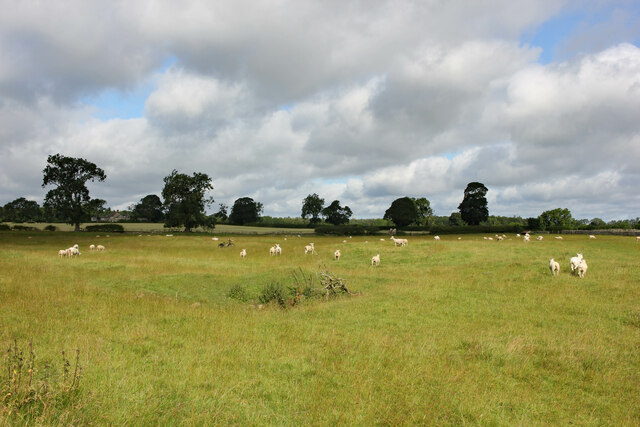
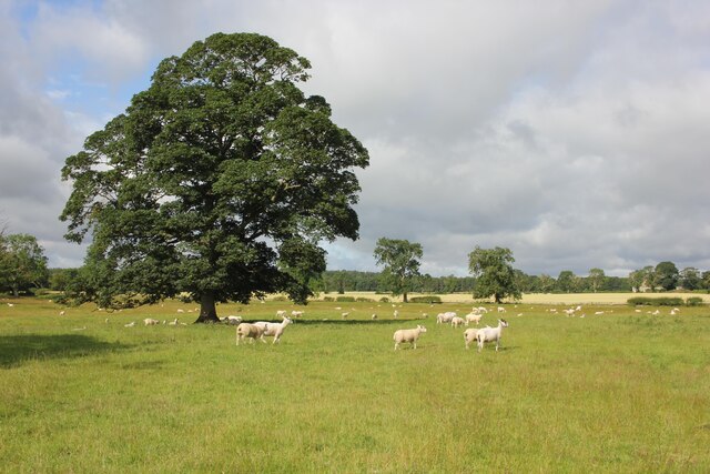
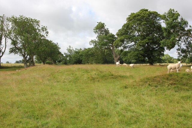
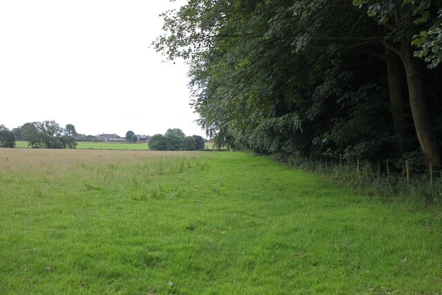
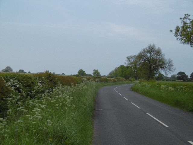
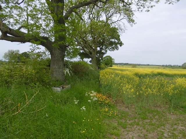
The woodland is predominantly characterized by its dense forest, dominated by tall and majestic trees. These include a variety of species such as oak, beech, and birch, creating a diverse and vibrant ecosystem. The lush undergrowth is home to an array of flora, including bluebells, wild garlic, and ferns, which add to the enchanting atmosphere of the plantation.

Bath Plantation is also notable for its wildlife diversity. The woodland provides a habitat for numerous species of birds, including woodpeckers, owls, and various songbirds. Visitors may also catch glimpses of small mammals like squirrels, rabbits, and foxes, as well as occasional deer sightings.

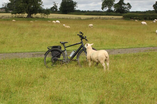
The plantation offers a network of well-maintained paths and trails, making it an ideal destination for outdoor activities such as walking, jogging, and cycling. The peaceful ambiance provides an opportunity to connect with nature and appreciate the serene surroundings.

Within easy reach of nearby towns and villages, Bath Plantation is a popular destination for day trips and weekend getaways. Its natural beauty, diverse flora and fauna, and accessibility make it an appealing location for nature lovers of all ages.

If you have any feedback on the listing, please let us know in the comments section below.

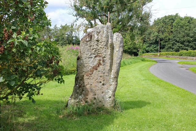
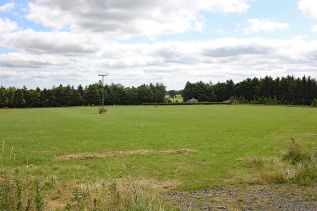
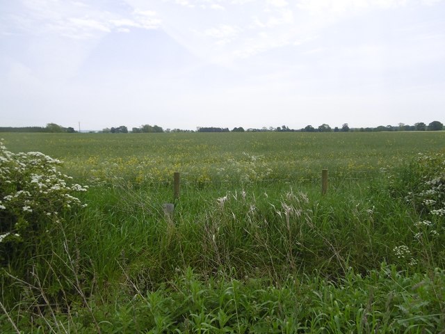
Bath Plantation Images

Images are sourced within 2km of 55.037778/-1.9435784 or Grid Reference NZ0371. Thanks to Geograph Open Source API. All images are credited.

Footpath to Standing Stone
Lane to East Matfen Village
East Matfen medieval village and open field system (site of) Ruin on the site of East Matfen medieval village and open field system. The following detailed information is from Historic England.

The monument includes the deserted remains of the medieval village of East Matfen and part of its surviving open field system, situated on the right bank of the now canalised River Pont. It is divided into two separate areas by a later trackway. In the 13th century the manor of East Matfen was held by the Fenwick family and a document records that in 1296 14 individuals from the village were eligible to pay taxes. Part of the manor was subsequently granted to the priory at Hexham, and later documents record a fall in the village population. After the Dissolution of the Monasteries, the manor was regained by the Fenwicks. During the mid- to late 17th century the estate was acquired by John Douglas of Newcastle who depopulated the village and dispersed the farms to other parts of the estate. Maps of a similar date indicate that the northern half of the village became incorporated into a formal park which was established in the area at this time. The plan of the medieval village is a type well known in this part of Northumberland in which two parallel lines of houses face onto a broad rectangular village green, with crofts, or garden areas to the rear. This type of village is thought to be the result of deliberate planning by Norman rulers attempting to exert control over a rebellious region during the 11th and 12th centuries. The two rows of houses are oriented east to west, and each is visible as a series of rectangular enclosures or tofts containing the foundations of timber long houses. The house foundations stand to an average height of 0.3m. The ruined remains of Pead House at the centre of the south row of the village indicate that at least one of the original medieval plots continued in use into the post-medieval period. To the rear of each street, there are the well defined remains of linear crofts, each bounded from its neighbour by a bank on average 0.5m high. Some of the crofts, particularly on the north row of the village, contain the remains of rig and furrow cultivation. The two streets face onto a broad rectangular open space containing the remains of banks and hollows. This was formerly the village green. Subsequent to its desertion, part of the village green was ploughed up, and the remains of rig and furrow are visible at its north eastern end. A well defined hollow way crosses the green and opens out at its eastern end to form a funnelled access or driftway across the surrounding open fields to the pasture beyond. At the eastern end of the village, part of the open fields which once surrounded the village on all sides, survive in the form of a large medieval furlong or field bounded on some of its sides by intact headland. The remains of two smaller furlongs beyond it to the south east. Each furlong contains rig and furrow cultivation which survives well and stands to a maximum height of 1m. All stone walls and fences which cross the monument are excluded from the scheduling as are the line of telegraph poles and the metalled surface of the road, although the ground beneath all of these features is included.

Historic England East Matfen <span class="nowrap"><a title="https://historicengland.org.uk/listing/the-list/list-entry/1016351" rel="nofollow ugc noopener" href="https://historicengland.org.uk/listing/the-list/list-entry/1016351">Link</a><img style="margin-left:2px;" alt="External link" title="External link - shift click to open in new window" src="https://s1.geograph.org.uk/img/external.png" width="10" height="10"/></span>
East Matfen medieval village and open field system (site of)
Ruin on the site of East Matfen medieval village and open field system. The following detailed information is from Historic England. The monument includes the deserted remains of the medieval village of East Matfen and part of its surviving open field system, situated on the right bank of the now canalised River Pont. It is divided into two separate areas by a later trackway. In the 13th century the manor of East Matfen was held by the Fenwick family and a document records that in 1296 14 individuals from the village were eligible to pay taxes. Part of the manor was subsequently granted to the priory at Hexham, and later documents record a fall in the village population. After the Dissolution of the Monasteries, the manor was regained by the Fenwicks. During the mid- to late 17th century the estate was acquired by John Douglas of Newcastle who depopulated the village and dispersed the farms to other parts of the estate. Maps of a similar date indicate that the northern half of the village became incorporated into a formal park which was established in the area at this time. The plan of the medieval village is a type well known in this part of Northumberland in which two parallel lines of houses face onto a broad rectangular village green, with crofts, or garden areas to the rear. This type of village is thought to be the result of deliberate planning by Norman rulers attempting to exert control over a rebellious region during the 11th and 12th centuries. The two rows of houses are oriented east to west, and each is visible as a series of rectangular enclosures or tofts containing the foundations of timber long houses. The house foundations stand to an average height of 0.3m. The ruined remains of Pead House at the centre of the south row of the village indicate that at least one of the original medieval plots continued in use into the post-medieval period. To the rear of each street, there are the well defined remains of linear crofts, each bounded from its neighbour by a bank on average 0.5m high. Some of the crofts, particularly on the north row of the village, contain the remains of rig and furrow cultivation. The two streets face onto a broad rectangular open space containing the remains of banks and hollows. This was formerly the village green. Subsequent to its desertion, part of the village green was ploughed up, and the remains of rig and furrow are visible at its north eastern end. A well defined hollow way crosses the green and opens out at its eastern end to form a funnelled access or driftway across the surrounding open fields to the pasture beyond. At the eastern end of the village, part of the open fields which once surrounded the village on all sides, survive in the form of a large medieval furlong or field bounded on some of its sides by intact headland. The remains of two smaller furlongs beyond it to the south east. Each furlong contains rig and furrow cultivation which survives well and stands to a maximum height of 1m. All stone walls and fences which cross the monument are excluded from the scheduling as are the line of telegraph poles and the metalled surface of the road, although the ground beneath all of these features is included. Historic England East Matfen LinkExternal link
East Matfen medieval village and open field system (site of) The following detailed information is from Historic England.

The monument includes the deserted remains of the medieval village of East Matfen and part of its surviving open field system, situated on the right bank of the now canalised River Pont. It is divided into two separate areas by a later trackway. In the 13th century the manor of East Matfen was held by the Fenwick family and a document records that in 1296 14 individuals from the village were eligible to pay taxes. Part of the manor was subsequently granted to the priory at Hexham, and later documents record a fall in the village population. After the Dissolution of the Monasteries, the manor was regained by the Fenwicks. During the mid- to late 17th century the estate was acquired by John Douglas of Newcastle who depopulated the village and dispersed the farms to other parts of the estate. Maps of a similar date indicate that the northern half of the village became incorporated into a formal park which was established in the area at this time. The plan of the medieval village is a type well known in this part of Northumberland in which two parallel lines of houses face onto a broad rectangular village green, with crofts, or garden areas to the rear. This type of village is thought to be the result of deliberate planning by Norman rulers attempting to exert control over a rebellious region during the 11th and 12th centuries. The two rows of houses are oriented east to west, and each is visible as a series of rectangular enclosures or tofts containing the foundations of timber long houses. The house foundations stand to an average height of 0.3m. The ruined remains of Pead House at the centre of the south row of the village indicate that at least one of the original medieval plots continued in use into the post-medieval period. To the rear of each street, there are the well defined remains of linear crofts, each bounded from its neighbour by a bank on average 0.5m high. Some of the crofts, particularly on the north row of the village, contain the remains of rig and furrow cultivation. The two streets face onto a broad rectangular open space containing the remains of banks and hollows. This was formerly the village green. Subsequent to its desertion, part of the village green was ploughed up, and the remains of rig and furrow are visible at its north eastern end. A well defined hollow way crosses the green and opens out at its eastern end to form a funnelled access or driftway across the surrounding open fields to the pasture beyond. At the eastern end of the village, part of the open fields which once surrounded the village on all sides, survive in the form of a large medieval furlong or field bounded on some of its sides by intact headland. The remains of two smaller furlongs beyond it to the south east. Each furlong contains rig and furrow cultivation which survives well and stands to a maximum height of 1m. All stone walls and fences which cross the monument are excluded from the scheduling as are the line of telegraph poles and the metalled surface of the road, although the ground beneath all of these features is included.

Historic England East Matfen <span class="nowrap"><a title="https://historicengland.org.uk/listing/the-list/list-entry/1016351" rel="nofollow ugc noopener" href="https://historicengland.org.uk/listing/the-list/list-entry/1016351">Link</a><img style="margin-left:2px;" alt="External link" title="External link - shift click to open in new window" src="https://s1.geograph.org.uk/img/external.png" width="10" height="10"/></span>
East Matfen medieval village and open field system (site of)
The following detailed information is from Historic England. The monument includes the deserted remains of the medieval village of East Matfen and part of its surviving open field system, situated on the right bank of the now canalised River Pont. It is divided into two separate areas by a later trackway. In the 13th century the manor of East Matfen was held by the Fenwick family and a document records that in 1296 14 individuals from the village were eligible to pay taxes. Part of the manor was subsequently granted to the priory at Hexham, and later documents record a fall in the village population. After the Dissolution of the Monasteries, the manor was regained by the Fenwicks. During the mid- to late 17th century the estate was acquired by John Douglas of Newcastle who depopulated the village and dispersed the farms to other parts of the estate. Maps of a similar date indicate that the northern half of the village became incorporated into a formal park which was established in the area at this time. The plan of the medieval village is a type well known in this part of Northumberland in which two parallel lines of houses face onto a broad rectangular village green, with crofts, or garden areas to the rear. This type of village is thought to be the result of deliberate planning by Norman rulers attempting to exert control over a rebellious region during the 11th and 12th centuries. The two rows of houses are oriented east to west, and each is visible as a series of rectangular enclosures or tofts containing the foundations of timber long houses. The house foundations stand to an average height of 0.3m. The ruined remains of Pead House at the centre of the south row of the village indicate that at least one of the original medieval plots continued in use into the post-medieval period. To the rear of each street, there are the well defined remains of linear crofts, each bounded from its neighbour by a bank on average 0.5m high. Some of the crofts, particularly on the north row of the village, contain the remains of rig and furrow cultivation. The two streets face onto a broad rectangular open space containing the remains of banks and hollows. This was formerly the village green. Subsequent to its desertion, part of the village green was ploughed up, and the remains of rig and furrow are visible at its north eastern end. A well defined hollow way crosses the green and opens out at its eastern end to form a funnelled access or driftway across the surrounding open fields to the pasture beyond. At the eastern end of the village, part of the open fields which once surrounded the village on all sides, survive in the form of a large medieval furlong or field bounded on some of its sides by intact headland. The remains of two smaller furlongs beyond it to the south east. Each furlong contains rig and furrow cultivation which survives well and stands to a maximum height of 1m. All stone walls and fences which cross the monument are excluded from the scheduling as are the line of telegraph poles and the metalled surface of the road, although the ground beneath all of these features is included. Historic England East Matfen LinkExternal link
East Matfen medieval village and open field system (site of) Earthworks on the site of East Matfen medieval village and open field system. The following detailed information is from Historic England.

The monument includes the deserted remains of the medieval village of East Matfen and part of its surviving open field system, situated on the right bank of the now canalised River Pont. It is divided into two separate areas by a later trackway. In the 13th century the manor of East Matfen was held by the Fenwick family and a document records that in 1296 14 individuals from the village were eligible to pay taxes. Part of the manor was subsequently granted to the priory at Hexham, and later documents record a fall in the village population. After the Dissolution of the Monasteries, the manor was regained by the Fenwicks. During the mid- to late 17th century the estate was acquired by John Douglas of Newcastle who depopulated the village and dispersed the farms to other parts of the estate. Maps of a similar date indicate that the northern half of the village became incorporated into a formal park which was established in the area at this time. The plan of the medieval village is a type well known in this part of Northumberland in which two parallel lines of houses face onto a broad rectangular village green, with crofts, or garden areas to the rear. This type of village is thought to be the result of deliberate planning by Norman rulers attempting to exert control over a rebellious region during the 11th and 12th centuries. The two rows of houses are oriented east to west, and each is visible as a series of rectangular enclosures or tofts containing the foundations of timber long houses. The house foundations stand to an average height of 0.3m. The ruined remains of Pead House at the centre of the south row of the village indicate that at least one of the original medieval plots continued in use into the post-medieval period. To the rear of each street, there are the well defined remains of linear crofts, each bounded from its neighbour by a bank on average 0.5m high. Some of the crofts, particularly on the north row of the village, contain the remains of rig and furrow cultivation. The two streets face onto a broad rectangular open space containing the remains of banks and hollows. This was formerly the village green. Subsequent to its desertion, part of the village green was ploughed up, and the remains of rig and furrow are visible at its north eastern end. A well defined hollow way crosses the green and opens out at its eastern end to form a funnelled access or driftway across the surrounding open fields to the pasture beyond. At the eastern end of the village, part of the open fields which once surrounded the village on all sides, survive in the form of a large medieval furlong or field bounded on some of its sides by intact headland. The remains of two smaller furlongs beyond it to the south east. Each furlong contains rig and furrow cultivation which survives well and stands to a maximum height of 1m. All stone walls and fences which cross the monument are excluded from the scheduling as are the line of telegraph poles and the metalled surface of the road, although the ground beneath all of these features is included.

Historic England East Matfen <span class="nowrap"><a title="https://historicengland.org.uk/listing/the-list/list-entry/1016351" rel="nofollow ugc noopener" href="https://historicengland.org.uk/listing/the-list/list-entry/1016351">Link</a><img style="margin-left:2px;" alt="External link" title="External link - shift click to open in new window" src="https://s1.geograph.org.uk/img/external.png" width="10" height="10"/></span>
East Matfen medieval village and open field system (site of)
Earthworks on the site of East Matfen medieval village and open field system. The following detailed information is from Historic England. The monument includes the deserted remains of the medieval village of East Matfen and part of its surviving open field system, situated on the right bank of the now canalised River Pont. It is divided into two separate areas by a later trackway. In the 13th century the manor of East Matfen was held by the Fenwick family and a document records that in 1296 14 individuals from the village were eligible to pay taxes. Part of the manor was subsequently granted to the priory at Hexham, and later documents record a fall in the village population. After the Dissolution of the Monasteries, the manor was regained by the Fenwicks. During the mid- to late 17th century the estate was acquired by John Douglas of Newcastle who depopulated the village and dispersed the farms to other parts of the estate. Maps of a similar date indicate that the northern half of the village became incorporated into a formal park which was established in the area at this time. The plan of the medieval village is a type well known in this part of Northumberland in which two parallel lines of houses face onto a broad rectangular village green, with crofts, or garden areas to the rear. This type of village is thought to be the result of deliberate planning by Norman rulers attempting to exert control over a rebellious region during the 11th and 12th centuries. The two rows of houses are oriented east to west, and each is visible as a series of rectangular enclosures or tofts containing the foundations of timber long houses. The house foundations stand to an average height of 0.3m. The ruined remains of Pead House at the centre of the south row of the village indicate that at least one of the original medieval plots continued in use into the post-medieval period. To the rear of each street, there are the well defined remains of linear crofts, each bounded from its neighbour by a bank on average 0.5m high. Some of the crofts, particularly on the north row of the village, contain the remains of rig and furrow cultivation. The two streets face onto a broad rectangular open space containing the remains of banks and hollows. This was formerly the village green. Subsequent to its desertion, part of the village green was ploughed up, and the remains of rig and furrow are visible at its north eastern end. A well defined hollow way crosses the green and opens out at its eastern end to form a funnelled access or driftway across the surrounding open fields to the pasture beyond. At the eastern end of the village, part of the open fields which once surrounded the village on all sides, survive in the form of a large medieval furlong or field bounded on some of its sides by intact headland. The remains of two smaller furlongs beyond it to the south east. Each furlong contains rig and furrow cultivation which survives well and stands to a maximum height of 1m. All stone walls and fences which cross the monument are excluded from the scheduling as are the line of telegraph poles and the metalled surface of the road, although the ground beneath all of these features is included. Historic England East Matfen LinkExternal link
Sheep casing a bike at East Matfen You can't leave your bicycle anywhere these days. A sheep giving my bike the onceover at East Matfen.
Sheep casing a bike at East Matfen
You can't leave your bicycle anywhere these days. A sheep giving my bike the onceover at East Matfen.
Footpath to East Matfen from Jingling Gate Footpath from Jingling Gate next to East Lodge Wood heading to East Matfen.
Footpath to East Matfen from Jingling Gate
Footpath from Jingling Gate next to East Lodge Wood heading to East Matfen.
Whittle Dene Watercourse, Matfen The Whittle Dean Watercourse at Matfen.

Wikipedia Matfen <span class="nowrap"><a title="https://en.wikipedia.org/wiki/Matfen" rel="nofollow ugc noopener" href="https://en.wikipedia.org/wiki/Matfen">Link</a><img style="margin-left:2px;" alt="External link" title="External link - shift click to open in new window" src="https://s1.geograph.org.uk/img/external.png" width="10" height="10"/></span>

Wikipedia Whittle Dene <span class="nowrap"><a title="https://en.wikipedia.org/wiki/Whittle_Dene" rel="nofollow ugc noopener" href="https://en.wikipedia.org/wiki/Whittle_Dene">Link</a><img style="margin-left:2px;" alt="External link" title="External link - shift click to open in new window" src="https://s1.geograph.org.uk/img/external.png" width="10" height="10"/></span>
Whittle Dene Watercourse, Matfen
The Whittle Dean Watercourse at Matfen. Wikipedia Matfen LinkExternal link Wikipedia Whittle Dene LinkExternal link
The Black Bull, Matfen The Black Bull opposite The Green in Matfen.

Wikipedia Matfen <span class="nowrap"><a title="https://en.wikipedia.org/wiki/Matfen" rel="nofollow ugc noopener" href="https://en.wikipedia.org/wiki/Matfen">Link</a><img style="margin-left:2px;" alt="External link" title="External link - shift click to open in new window" src="https://s1.geograph.org.uk/img/external.png" width="10" height="10"/></span>
The Black Bull, Matfen
The Black Bull opposite The Green in Matfen. Wikipedia Matfen LinkExternal link
View west of Matfen View across farmland to the west of Matfen.
View west of Matfen
View across farmland to the west of Matfen.
Ridge and furrow at Grizzly Hill Ridge and furrow system at Grizzly Hill just north of Matfen. The footpath here heads northwest to Ryal.

Wikipedia ridge and furrow <span class="nowrap"><a title="https://en.wikipedia.org/wiki/Ridge_and_furrow" rel="nofollow ugc noopener" href="https://en.wikipedia.org/wiki/Ridge_and_furrow">Link</a><img style="margin-left:2px;" alt="External link" title="External link - shift click to open in new window" src="https://s1.geograph.org.uk/img/external.png" width="10" height="10"/></span>
Ridge and furrow at Grizzly Hill
Ridge and furrow system at Grizzly Hill just north of Matfen. The footpath here heads northwest to Ryal. Wikipedia ridge and furrow LinkExternal link
Matfen Standing Stone A standing stone with cup markings. The following description is from the Ancient Monuments website.

The monument includes the remains of a standing stone of Bronze Age date
situated near the top of a prominent rise. The standing stone is 2m high and
0.5m square at the base and 1m wide at the top. It has been fashioned from a
massive freestone block, the upper parts of which are weathered and deeply
grooved and it leans slightly to the south. The eastern face of the standing
stone displays at least four cup marks or shallow, circular prehistoric motifs
pecked out of the surface of the stone. The standing stone is known locally as
'The Warrior Stone'.

Ancient Monuments <span class="nowrap"><a title="https://ancientmonuments.uk/112284-standing-stone-with-cup-markings-230m-south-of-sandyway-heads-matfen" rel="nofollow ugc noopener" href="https://ancientmonuments.uk/112284-standing-stone-with-cup-markings-230m-south-of-sandyway-heads-matfen">Link</a><img style="margin-left:2px;" alt="External link" title="External link - shift click to open in new window" src="https://s1.geograph.org.uk/img/external.png" width="10" height="10"/></span>
Matfen Standing Stone
A standing stone with cup markings. The following description is from the Ancient Monuments website. The monument includes the remains of a standing stone of Bronze Age date situated near the top of a prominent rise. The standing stone is 2m high and 0.5m square at the base and 1m wide at the top. It has been fashioned from a massive freestone block, the upper parts of which are weathered and deeply grooved and it leans slightly to the south. The eastern face of the standing stone displays at least four cup marks or shallow, circular prehistoric motifs pecked out of the surface of the stone. The standing stone is known locally as 'The Warrior Stone'. Ancient Monuments LinkExternal link
Footpath to West Moorhouses Public footpath at Standing Stone near Matfen heading towards West Moorhouses.
Footpath to West Moorhouses
Public footpath at Standing Stone near Matfen heading towards West Moorhouses.
Field, Fenwick Last of the oilseed rape flowers.
Field, Fenwick
Last of the oilseed rape flowers.
Stamfordham to Matfen road
Trough and arable land The trough may still get used, there were cattle in the neighbouring field.  Often these galvanised drinking troughs bear witness to the change to arable farming in recent decades.
Trough and arable land
The trough may still get used, there were cattle in the neighbouring field. Often these galvanised drinking troughs bear witness to the change to arable farming in recent decades.
Show me another place!

Bath Plantation is located at Grid Ref: NZ0371 (Lat: 55.037778, Lng: -1.9435784)

Unitary Authority: Northumberland

Police Authority: Northumbria

What 3 Words

///culling.unite.evoke. Near Corbridge, Northumberland

Related Wikis

Have you been to Bath Plantation?

Leave your review of Bath Plantation below (or comments, questions and feedback).