Hawkhurst Head
Hill, Mountain in Cheshire High Peak
England
Hawkhurst Head
Hawkhurst Head, located in Cheshire, England, is a prominent hill that forms part of the county's picturesque landscape. Rising to an elevation of approximately 250 meters (820 feet), it is considered a notable geographical feature in the region. The hill is situated within the Peak District National Park, an area renowned for its stunning natural beauty and diverse wildlife.
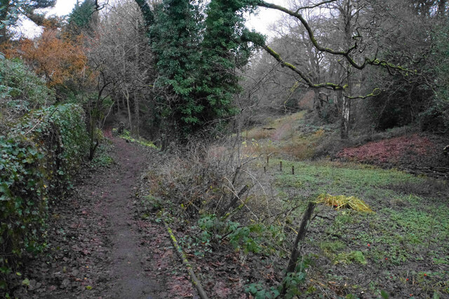
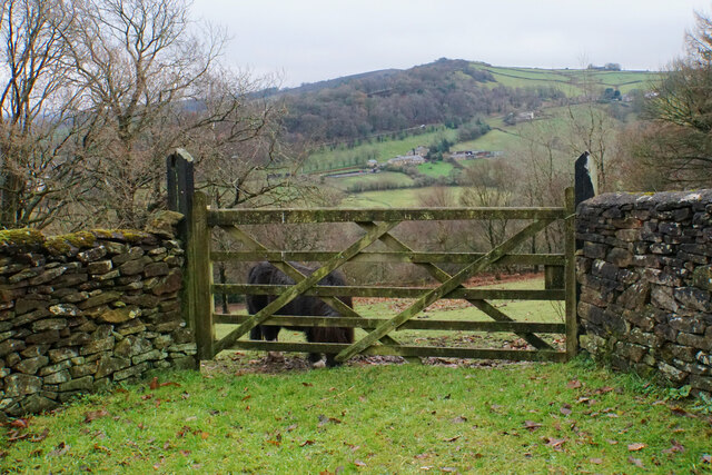
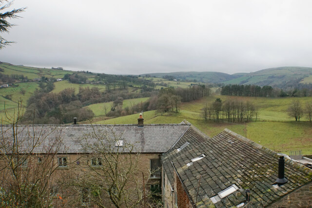
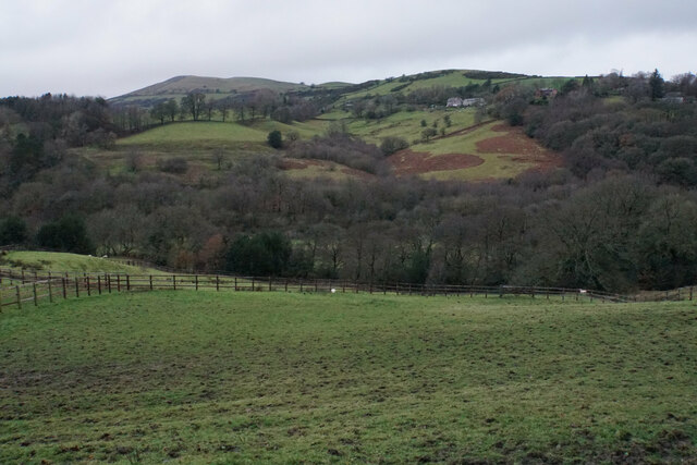
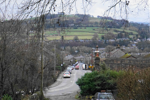
Hawkhurst Head offers breathtaking panoramic views of the surrounding countryside, including the rolling hills, verdant valleys, and charming villages that dot the landscape. The hill itself consists of a mixture of grassy slopes, rocky outcrops, and scattered patches of woodland, creating a varied and captivating terrain.
The summit of Hawkhurst Head provides an ideal vantage point for visitors to admire the stunning vistas that stretch for miles in every direction. On a clear day, one can see as far as the distant Welsh mountains on the western horizon. The hill also offers a peaceful and tranquil atmosphere, making it a popular destination for walkers, hikers, and nature enthusiasts alike.
In addition to its natural beauty, Hawkhurst Head is also home to a rich variety of flora and fauna. The hill supports a diverse range of plant species, including heather, gorse, and wildflowers, which add vibrant splashes of color to the landscape. Wildlife such as red deer, foxes, and various bird species can also be spotted in the area.
Overall, Hawkhurst Head is a captivating and enchanting hill in Cheshire, offering visitors a chance to immerse themselves in the stunning natural surroundings and appreciate the beauty of the British countryside.
If you have any feedback on the listing, please let us know in the comments section below.
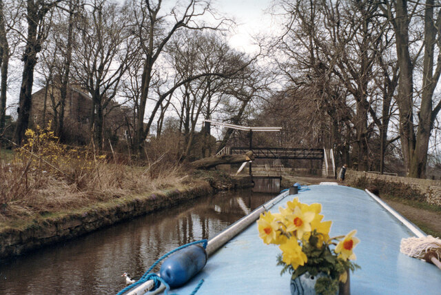
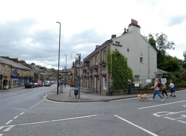
Hawkhurst Head Images
Images are sourced within 2km of 53.329812/-2.0035492 or Grid Reference SJ9981. Thanks to Geograph Open Source API. All images are credited.
Hawkhurst Head is located at Grid Ref: SJ9981 (Lat: 53.329812, Lng: -2.0035492)
Administrative County: Derbyshire
District: High Peak
Police Authority: Derbyshire
What 3 Words
///weeds.outbound.lurching. Near Whaley Bridge, Derbyshire
Nearby Locations
Related Wikis

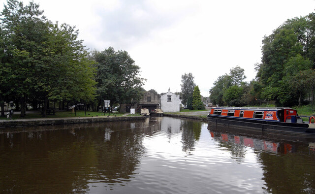
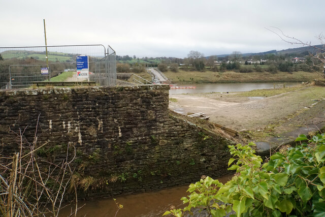
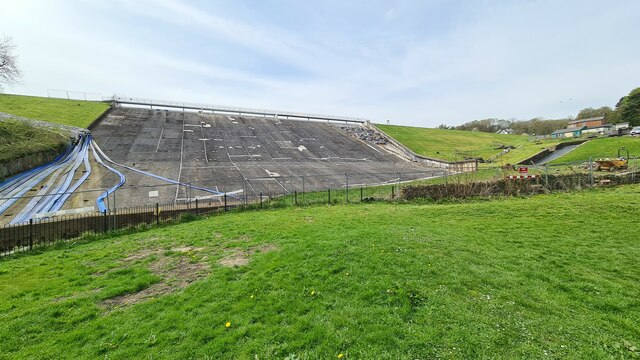
Toddbrook Reservoir
Toddbrook Reservoir, a feeder for the Peak Forest Canal, opened in 1838. It is above the town of Whaley Bridge in the High Peak area of Derbyshire, England...
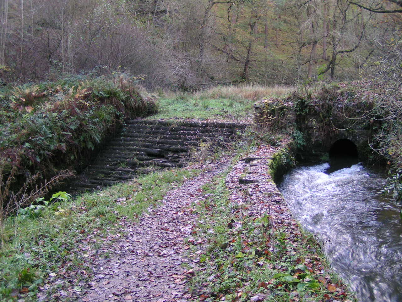
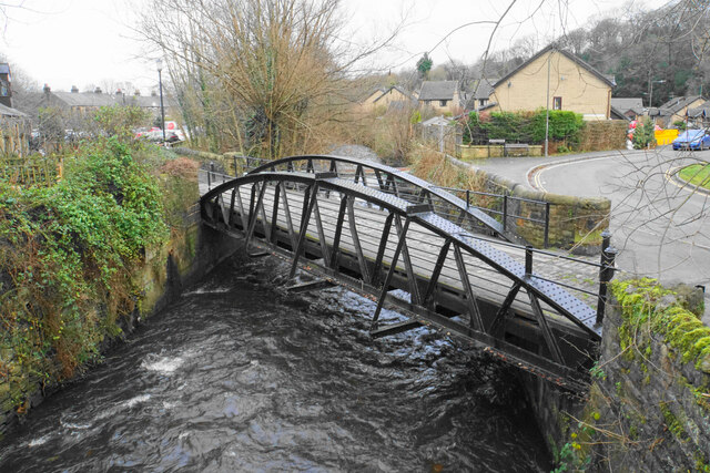
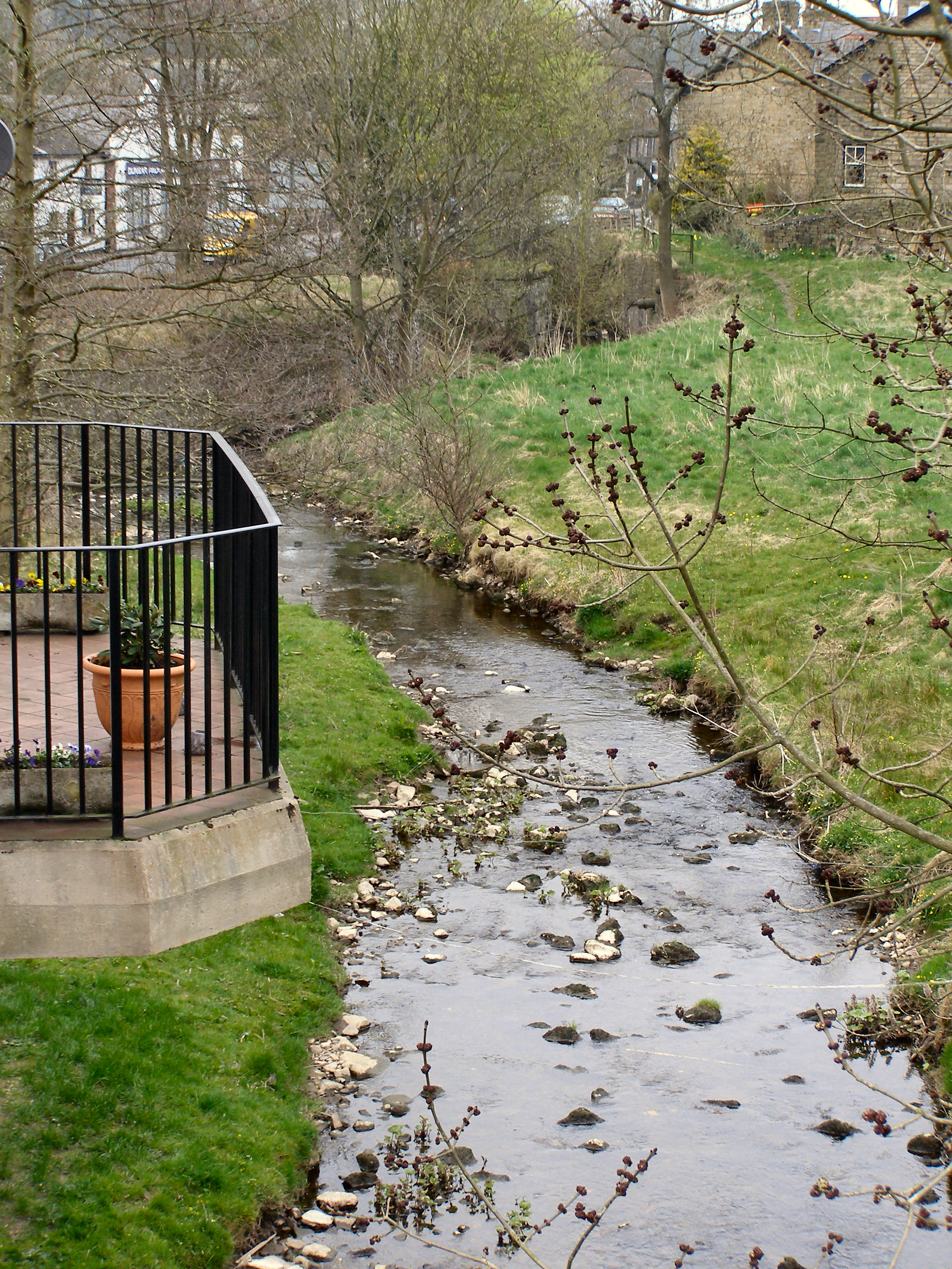
Todd Brook
Todd Brook is a small river running through the English counties of Cheshire and Derbyshire. The Brook rises beneath Shining Tor on the border between...

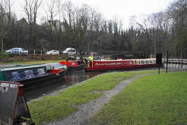
Whaley Bridge railway station
Whaley Bridge railway station serves the Peak District town of Whaley Bridge in Derbyshire, England. The station is on the Manchester-Buxton Line 16+1...

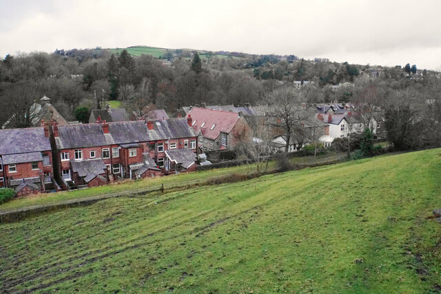
Whaley Bridge
Whaley Bridge () is a town and civil parish in the High Peak district of Derbyshire, England. It is situated on the River Goyt, 16 miles (26 km) south...

Buxton Road Bridge
Buxton Road Bridge is a railway bridge over the A5004 road in Whaley Bridge, in the High Peak district, in the county of Derbyshire, England. It carries...

Kettleshulme
Kettleshulme (Old Norse Ketil's island or Ketil's watermeadow) is a village and former civil parish, now in the parish of Kettleshulme and Lyme Handley...
Randall Carr
The Randall Carr brook is a river in Derbyshire, England. It starts at Combs and flows to Whaley Bridge where it ends in the river Goyt. Its headwaters...

Shallcross, Derbyshire
Shallcross is a small village in northwestern Derbyshire, England. It is located 15 miles (24 km) south of Manchester, at the edge of the Peak District...
Nearby Amenities
Located within 500m of 53.329812,-2.0035492Have you been to Hawkhurst Head?
Leave your review of Hawkhurst Head below (or comments, questions and feedback).