Roms Greave Hill

Hill, Mountain in Yorkshire

England

Roms Greave Hill

The Pennine Way near Old Bess Hill
The Pennine Way near Old Bess Hill Credit: Dave Kelly

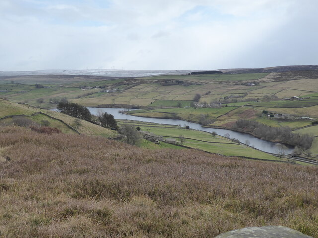
Roms Greave Hill is a prominent hill located in the picturesque region of Yorkshire, England. Situated in the southern part of the county, near the town of Skipton, it forms part of the beautiful Yorkshire Dales National Park. The hill stands at an elevation of approximately 358 meters (1,175 feet) above sea level, offering breathtaking panoramic views of the surrounding countryside.

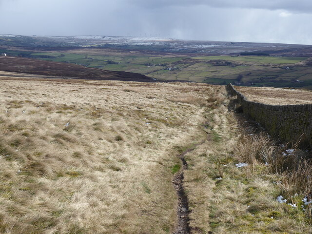
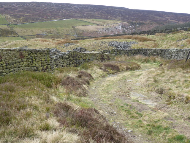
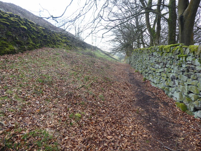
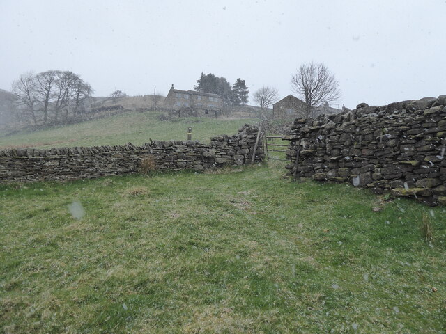
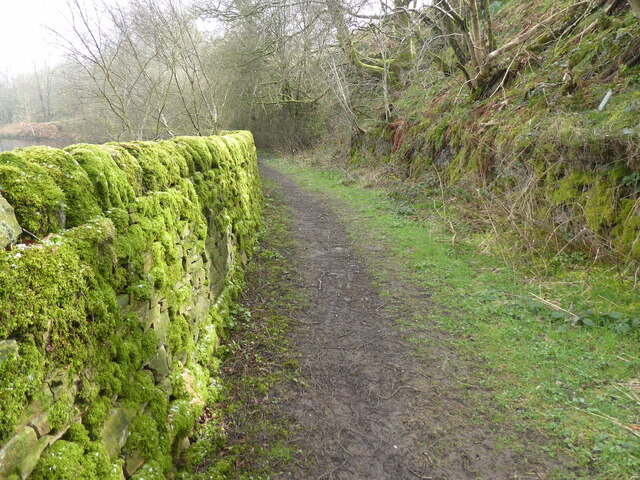
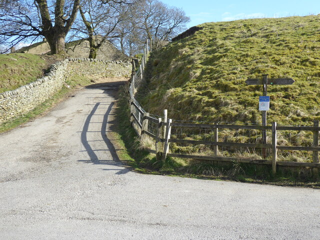
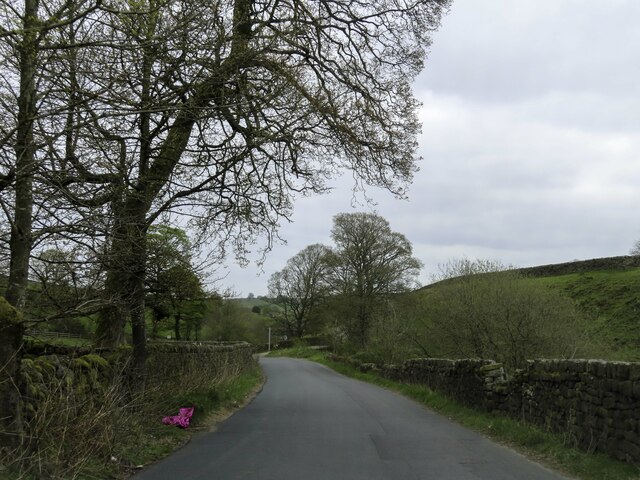
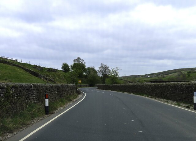
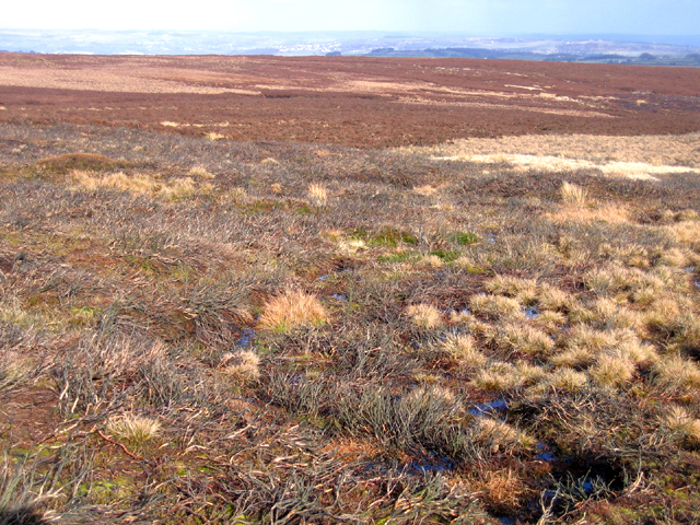
Roms Greave Hill is characterized by its rolling green slopes, intersected by dry stone walls and dotted with grazing sheep. The hill is predominantly covered in heather and grasses, creating a rich tapestry of colors throughout the seasons. The landscape is further enhanced by the presence of scattered limestone outcrops, adding a touch of ruggedness to its beauty.

The summit of Roms Greave Hill provides an ideal vantage point to admire the stunning vistas of the Yorkshire Dales. On a clear day, one can see the expansive valleys, meandering rivers, and distant peaks that define this region. The hill is a popular destination for walkers, hikers, and nature enthusiasts, who can explore the numerous footpaths and trails that crisscross the area.

Roms Greave Hill is also home to a diverse range of flora and fauna. The hill supports a variety of bird species, including the red grouse, skylarks, and curlews. Additionally, it provides habitat for small mammals like rabbits and hares, as well as a range of plant species adapted to the local environment.

Overall, Roms Greave Hill offers visitors a serene and picturesque experience, showcasing the natural beauty of the Yorkshire Dales. Whether one is seeking a peaceful hike or simply wishes to immerse themselves in the breathtaking scenery, this hill is sure to leave a lasting impression.

If you have any feedback on the listing, please let us know in the comments section below.

Roms Greave Hill Images

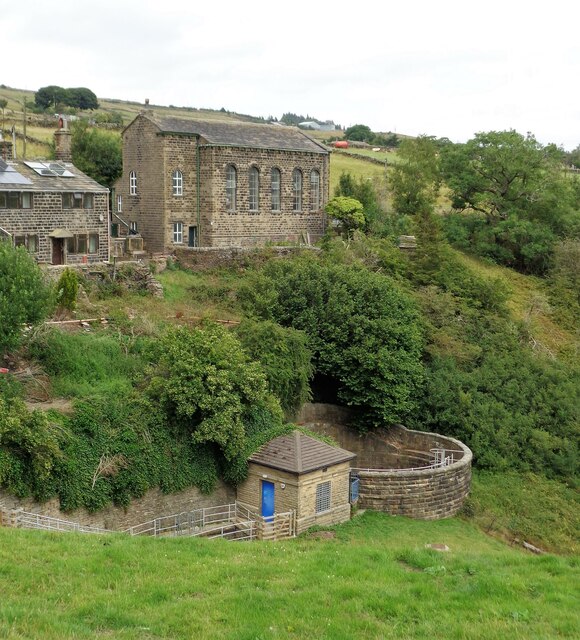
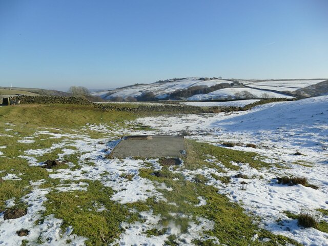
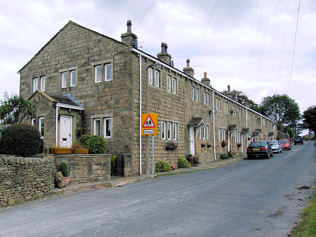
Images are sourced within 2km of 53.845945/-2.0035807 or Grid Reference SD9938. Thanks to Geograph Open Source API. All images are credited.

The Pennine Way near Old Bess Hill
The Pennine Way near Thornton Hill
View from the Pennine Way on Thornton Hill
The Pennine Way near Crag Bottom
The Pennine Way near Dean Clough
The Pennine Way near Whitestone Clough
The Pennine Way near Rush Isles
New Laithe Road heading to Haworth
Scar Top Road passes Ponden Reservoir
Scar Top Road heading to Haworth
Valve Tower at Ponden Reservoir
Scar Top Church Above Ponden Reservoir spillway & tanks
Scar Top Church
Above Ponden Reservoir spillway & tanks
Valve chamber on Keighley Moor I'm presuming this is a valve chamber on a water main, most likely a raw water supply from Keighley Moor Reservoir. The reservoir was originally built by the Duke of Devonshire to supply water to mills down Newsholme Dean, so the original pipeline would have headed this way. But the reservoir now supplies water into public supply via Oldfield treatment works to the south-east (source: <span class="nowrap"><a title="https://www.keighleynews.co.uk/news/18905714.memory-lane-keighley-reservoir-answer-mills-drought-threat/" rel="nofollow ugc noopener" href="https://www.keighleynews.co.uk/news/18905714.memory-lane-keighley-reservoir-answer-mills-drought-threat/">Link</a><img style="margin-left:2px;" alt="External link" title="External link - shift click to open in new window" src="https://s1.geograph.org.uk/img/external.png" width="10" height="10"/></span> ). In which case, this original pipeline may be redundant.

A note on access: there is no public footpath through this field, but as the official route along the walled track was blocked by farming activities, the farmer (or his employee) gave me permission to divert through this field to regain access to the track further along.
Valve chamber on Keighley Moor
I'm presuming this is a valve chamber on a water main, most likely a raw water supply from Keighley Moor Reservoir. The reservoir was originally built by the Duke of Devonshire to supply water to mills down Newsholme Dean, so the original pipeline would have headed this way. But the reservoir now supplies water into public supply via Oldfield treatment works to the south-east (source: LinkExternal link ). In which case, this original pipeline may be redundant. A note on access: there is no public footpath through this field, but as the official route along the walled track was blocked by farming activities, the farmer (or his employee) gave me permission to divert through this field to regain access to the track further along.
Brown Edge, Keighley Moor, W Yorks view NE from below Maw Stones Hill, with degraded burnt heather moor in the foreground.
Brown Edge, Keighley Moor, W Yorks
view NE from below Maw Stones Hill, with degraded burnt heather moor in the foreground.
Fencing wire and sheep, Higher Intake Looking up to Higher Intake Rough from the track below Higher Intake Farm.
Fencing wire and sheep, Higher Intake
Looking up to Higher Intake Rough from the track below Higher Intake Farm.
The track down to Morkin Bridge The track is in good condition thanks to the water authority.
The track down to Morkin Bridge
The track is in good condition thanks to the water authority.
Shooting Lodge on edge of Keighley Moor Substantial, almost palacial accommodation for the shooting fraternity on the edge of Keighley Moor
Shooting Lodge on edge of Keighley Moor
Substantial, almost palacial accommodation for the shooting fraternity on the edge of Keighley Moor
Show me another place!

Roms Greave Hill is located at Grid Ref: SD9938 (Lat: 53.845945, Lng: -2.0035807)

Division: West Riding

Unitary Authority: Bradford

Police Authority: West Yorkshire

What 3 Words

///marzipan.comb.artist. Near Haworth, West Yorkshire

Nearby Locations

Roms Greave Hill Kiln Hill

Related Wikis

Oldfield, West Yorkshire

Oldfield is a small hamlet within the county of West Yorkshire, England, situated north of Stanbury and near to Oakworth. It is approximately 6 miles...

Scar Top

Scar Top is a farming hamlet near the tourist village of Haworth in the City of Bradford metropolitan borough, West Yorkshire in England. It is in the...
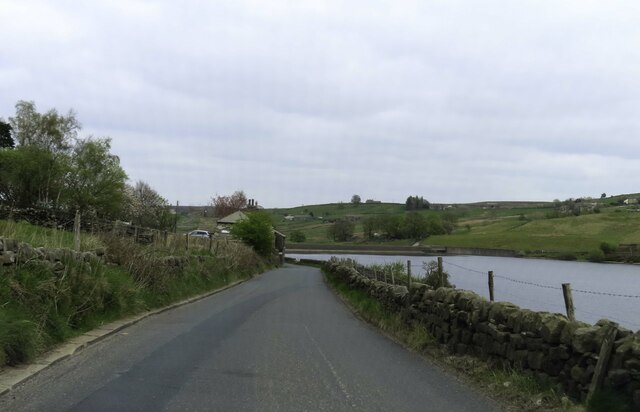
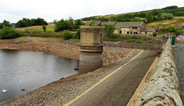
Ponden Reservoir

Ponden Reservoir is an artificial upland lake in the Worth Valley, near Stanbury, West Yorkshire, England. Ponden was built as a compensation reservoir...

Ponden Hall

Ponden Hall is a farmhouse near Stanbury in West Yorkshire, England. It is famous for reputedly being the inspiration for Thrushcross Grange, the home...

Nearby Amenities

Located within 500m of 53.845945,-2.0035807
Barrier: stile
Lat/Long: 53.8487203/-1.9976102
Barrier: stile
Lat/Long: 53.8437963/-2.0055875
The data included in this document is from www.openstreetmap.org. The data is made available under ODbL.

Have you been to Roms Greave Hill?

Leave your review of Roms Greave Hill below (or comments, questions and feedback).