The Dipping Stone
Heritage Site in Cheshire High Peak
England
The Dipping Stone
The Dipping Stone, located in Cheshire, England, is a significant heritage site that holds historical and cultural importance. Dating back to the medieval period, this stone has served as a crucial landmark and gathering point for the local community.
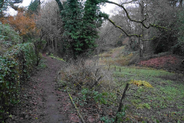
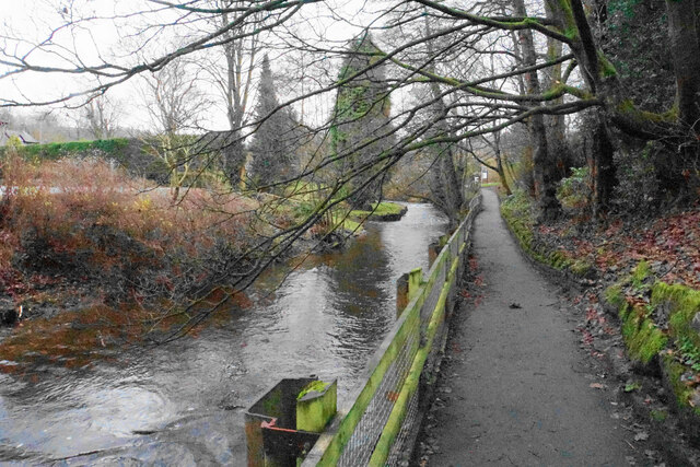
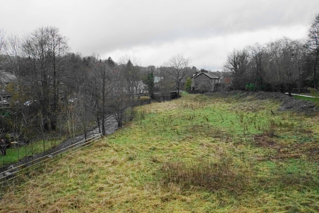
The Dipping Stone is a large, flat stone situated near a stream, which was used for centuries as a place to wash and dip sheep before shearing. This traditional practice of dipping helped to cleanse and treat the sheep's wool, ensuring its quality. The stone's proximity to the stream made it an ideal location for this purpose, as the flowing water provided a constant supply of fresh water.
The stone itself is made of natural sandstone and measures approximately three meters in length and two meters in width. Its smooth surface and sturdy structure have ensured its longevity, surviving several centuries of use and weathering.
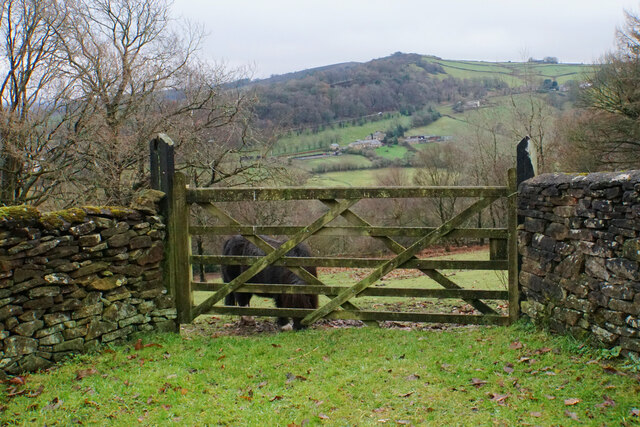
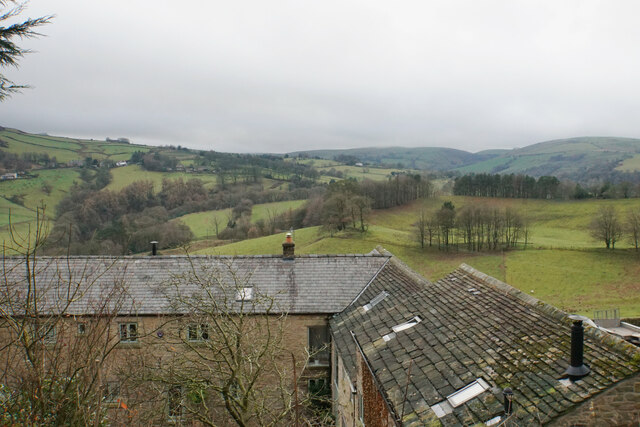
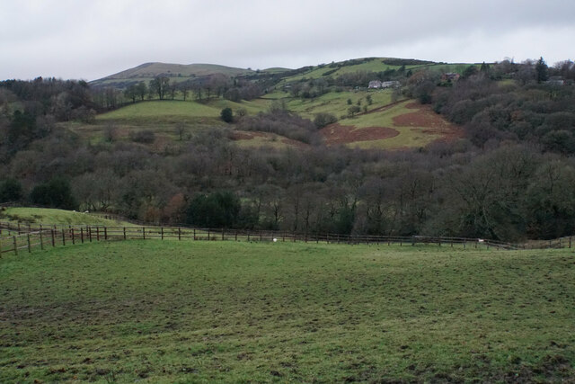
Today, The Dipping Stone stands as a testament to the rich rural heritage of Cheshire, reminding visitors of the area's agricultural past. It has become a popular tourist attraction, drawing both locals and visitors interested in learning about traditional farming practices and the history of the region.
The site is well-maintained and accessible, with informative signage explaining the significance of The Dipping Stone. It offers a serene and picturesque setting, surrounded by lush green fields and the gentle babbling of the nearby stream.
The Dipping Stone is not only a physical artifact but also a symbol of the close relationship between humans and animals in rural communities. Its historical significance and enduring presence make it a cherished heritage site in Cheshire.
If you have any feedback on the listing, please let us know in the comments section below.
The Dipping Stone Images
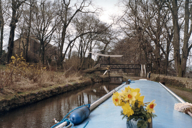
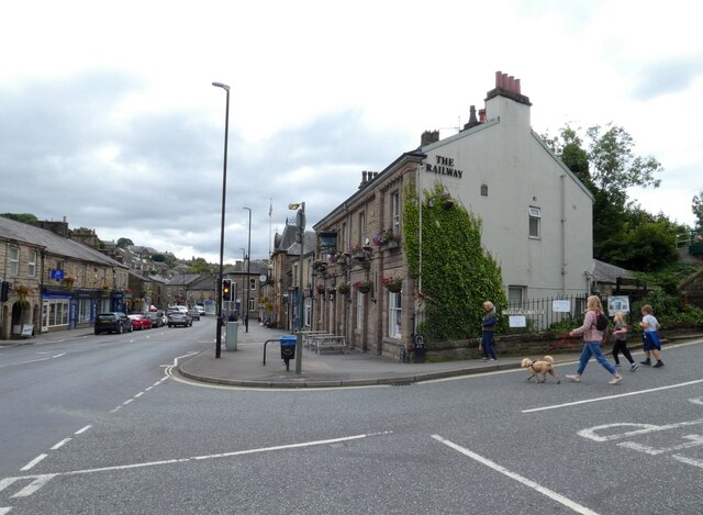
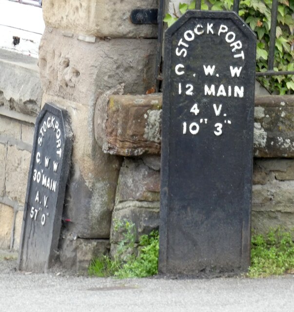
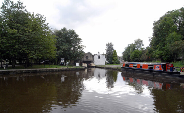
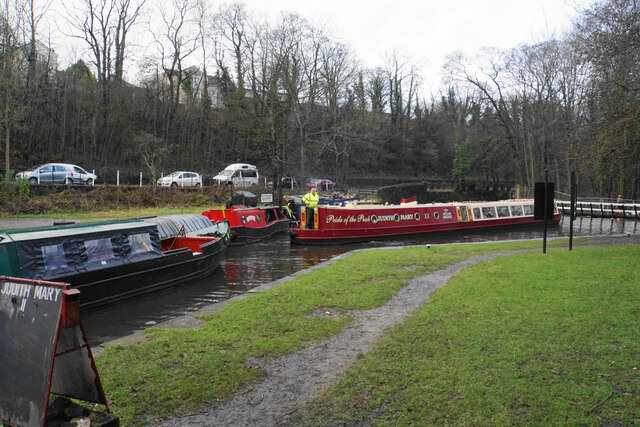
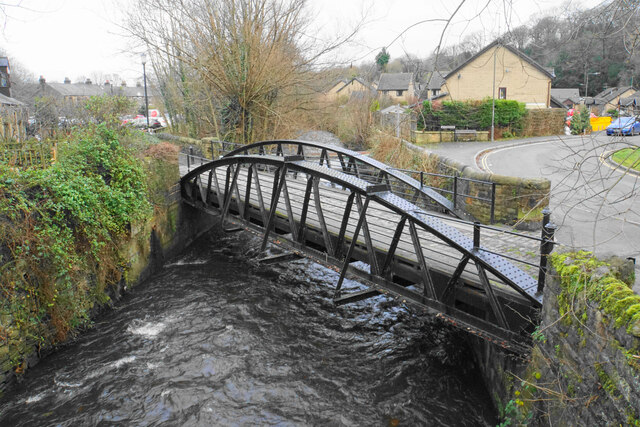
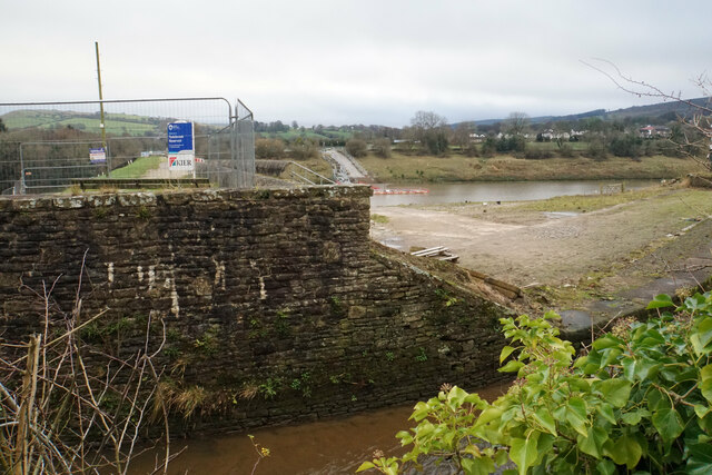
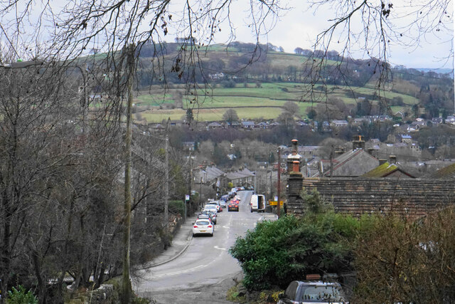
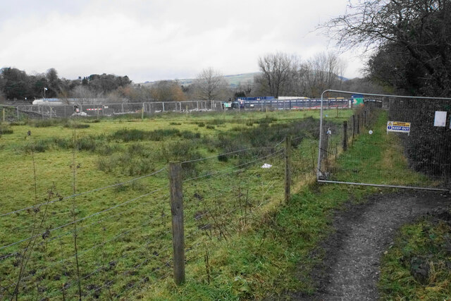
Images are sourced within 2km of 53.33/-2.007 or Grid Reference SJ9981. Thanks to Geograph Open Source API. All images are credited.
The Dipping Stone is located at Grid Ref: SJ9981 (Lat: 53.33, Lng: -2.007)
Administrative County: Derbyshire
District: High Peak
Police Authority: Derbyshire
What 3 Words
///lies.access.tempting. Near Whaley Bridge, Derbyshire
Nearby Locations
Related Wikis

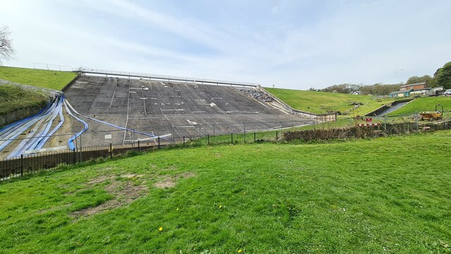
Toddbrook Reservoir
Toddbrook Reservoir, a feeder for the Peak Forest Canal, opened in 1838. It is above the town of Whaley Bridge in the High Peak area of Derbyshire, England...
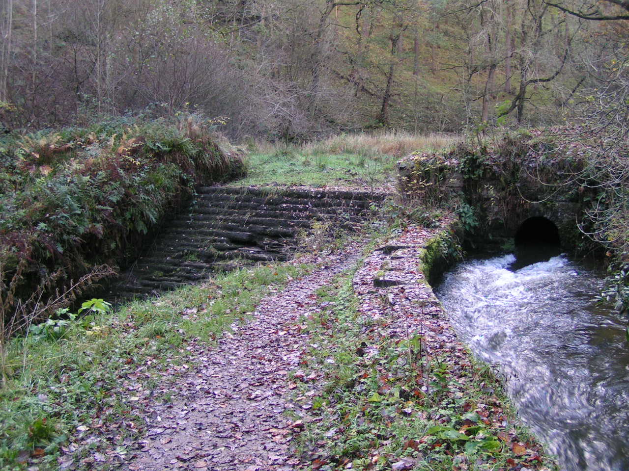
Todd Brook
Todd Brook is a small river running through the English counties of Cheshire and Derbyshire. The Brook rises beneath Shining Tor on the border between...

Whaley Bridge railway station
Whaley Bridge railway station serves the Peak District town of Whaley Bridge in Derbyshire, England. The station is on the Manchester-Buxton Line 16+1...

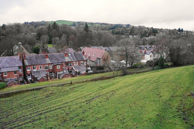
Whaley Bridge
Whaley Bridge () is a town and civil parish in the High Peak district of Derbyshire, England. It is situated on the River Goyt, 16 miles (26 km) south...
Nearby Amenities
Located within 500m of 53.33,-2.007Have you been to The Dipping Stone?
Leave your review of The Dipping Stone below (or comments, questions and feedback).