Caird's Hillock

Hill, Mountain in Aberdeenshire

Scotland

Caird's Hillock

Doocot at Gash of Philorth A prominent landmark visible on the southern approach to Fraserburgh.
Doocot at Gash of Philorth Credit: Ken Fitlike

Caird's Hillock is a prominent hill located in Aberdeenshire, Scotland. Rising to an elevation of approximately 430 meters (1,411 feet), it is considered one of the most iconic and visually striking landmarks in the region. The hill is situated about 10 kilometers (6 miles) south of the town of Stonehaven and is easily accessible by foot or by car.

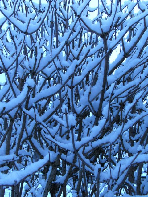
Caird's Hillock is known for its distinctive conical shape, which is a result of its geological composition. The hill is primarily composed of granite, a hard and durable rock that has withstood erosion over thousands of years. This composition has also made it a popular destination for rock climbers and hikers who are attracted by its challenging terrain and breathtaking panoramic views from the summit.

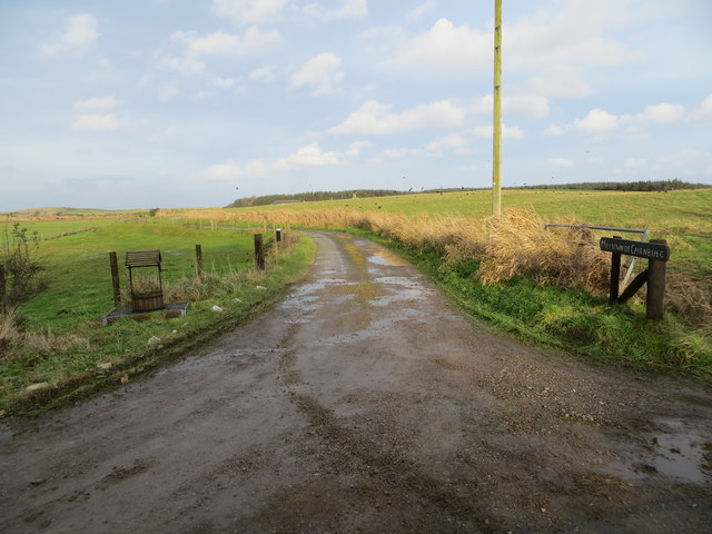
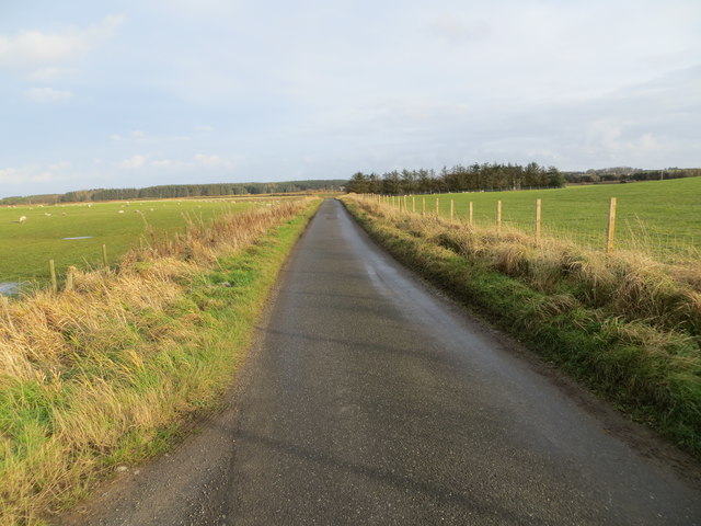
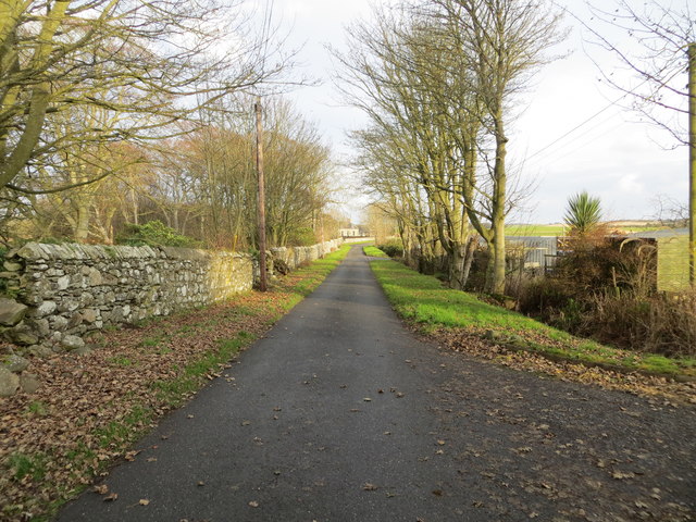
The hill is surrounded by a diverse range of natural habitats, including woodland, heather moorland, and open grassland. This has resulted in a rich biodiversity, with various species of plants and animals calling the area home. It is not uncommon to spot red deer, rabbits, and a variety of bird species while exploring the hill.

In addition to its natural beauty, Caird's Hillock also holds historical significance. It is believed to have been used as a burial site during the Bronze Age, with several burial cairns discovered on its slopes. These ancient monuments serve as a reminder of the hill's long-standing cultural heritage.

Overall, Caird's Hillock is a must-visit destination for nature lovers, outdoor enthusiasts, and history buffs alike. Its striking appearance, diverse wildlife, and historical significance make it a truly special place to explore in Aberdeenshire.

If you have any feedback on the listing, please let us know in the comments section below.

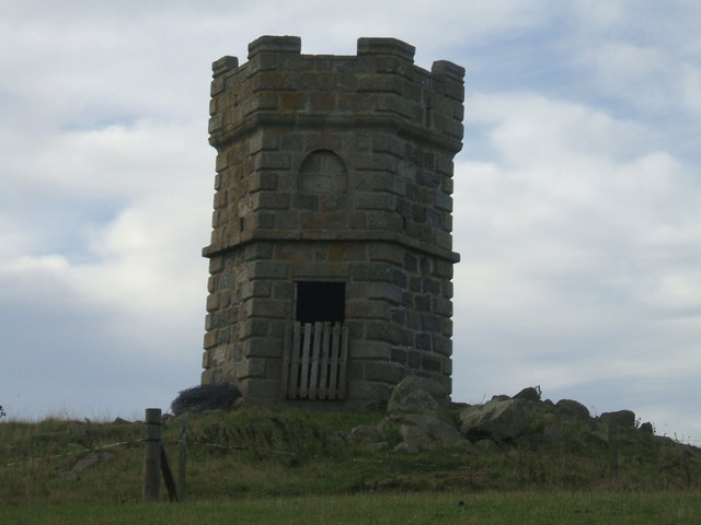
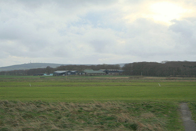
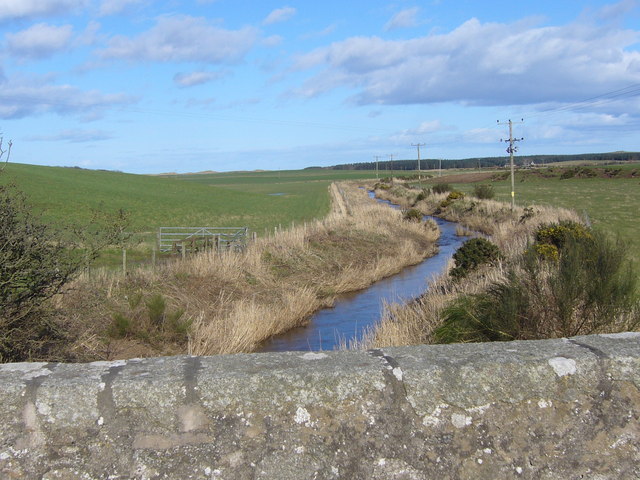
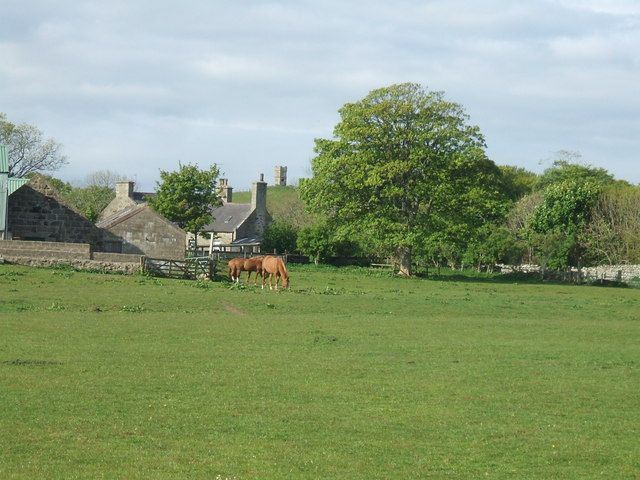
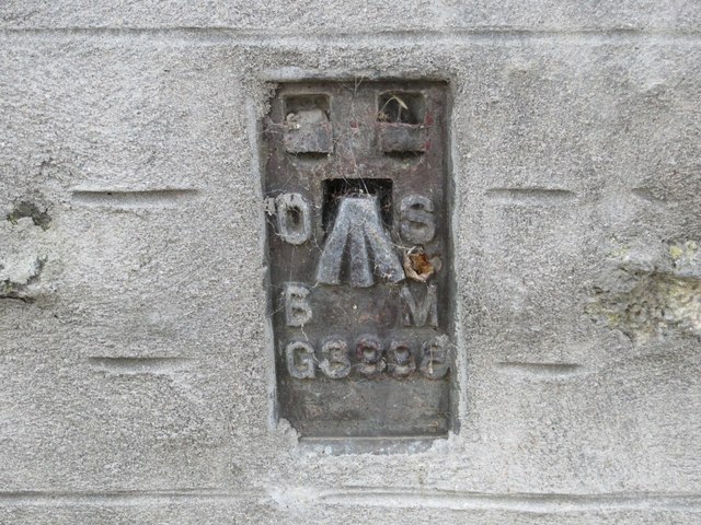
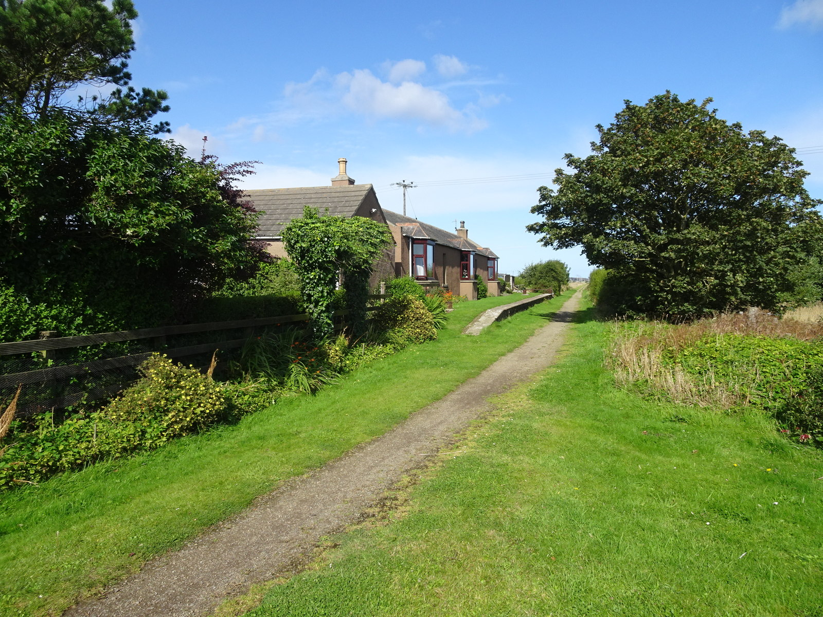
Caird's Hillock Images

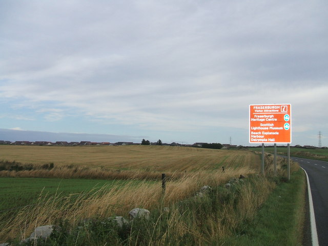
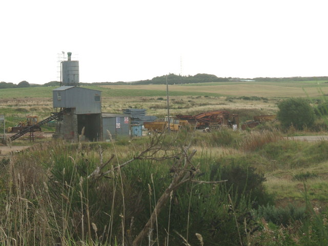
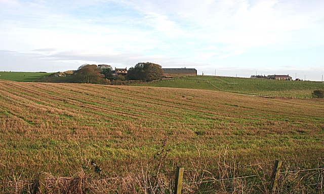
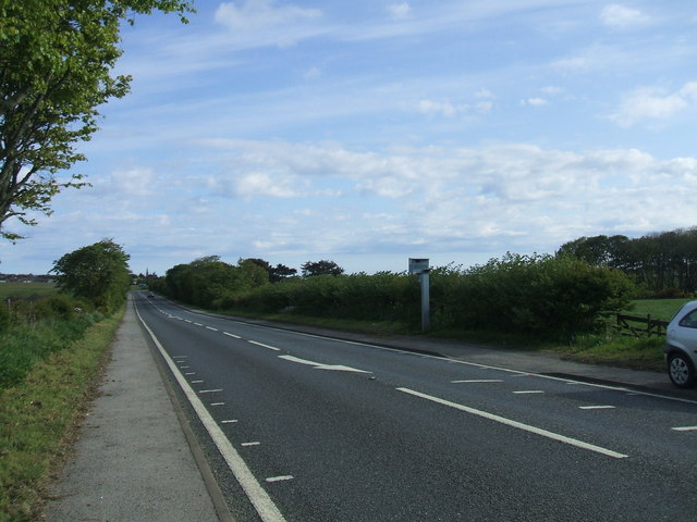
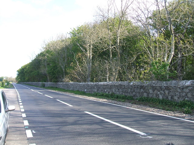
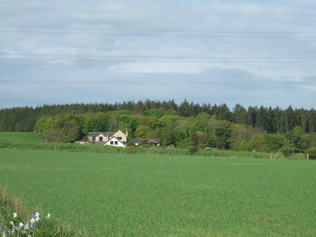
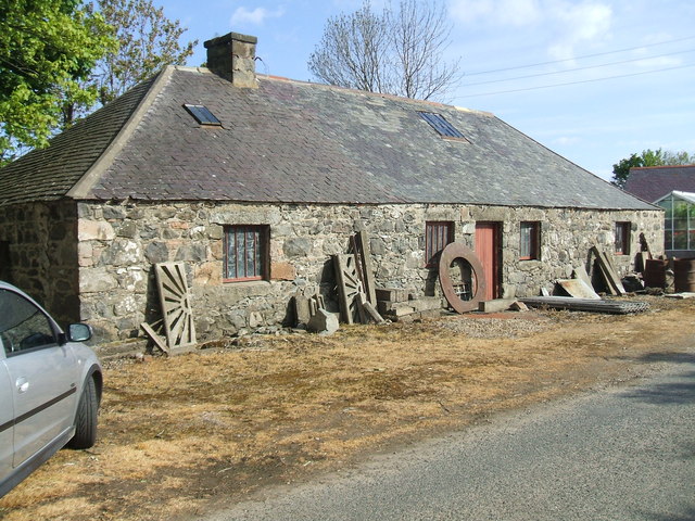
Images are sourced within 2km of 57.660764/-2.0086675 or Grid Reference NJ9963. Thanks to Geograph Open Source API. All images are credited.

Doocot at Gash of Philorth A prominent landmark visible on the southern approach to Fraserburgh.
Doocot at Gash of Philorth
A prominent landmark visible on the southern approach to Fraserburgh.
Golfing and farming in juxtaposition by Home Farm.
Water of Philorth
Water of Philorth
Horses at Mains of Philorth Nice horse grazing enclosure next to house and farmstead
(Doocot at Gash -NK0062 - visible in distance)
Horses at Mains of Philorth
Nice horse grazing enclosure next to house and farmstead (Doocot at Gash -NK0062 - visible in distance)
approach to Fraserburgh from Strichen about 3/4 mile from the fraserburgh by-pass road
approach to Fraserburgh from Strichen
about 3/4 mile from the fraserburgh by-pass road
quarry equipment at Broomhead sand and gravel quarry still operating.
quarry equipment at Broomhead
sand and gravel quarry still operating.
Cottage in Sinclair Hills woods tractor and implement seem more of an ornamental feature rather than  current practical use
Cottage in Sinclair Hills woods
tractor and implement seem more of an ornamental feature rather than current practical use
Fordafourie Rolling farmland near Rathen.
Fordafourie
Rolling farmland near Rathen.
A90 south of Fraserburgh One of six speed cameras on the 17 mile Fraserburgh - Peterhead road, previously a notorious 'race-track'
A90 south of Fraserburgh
One of six speed cameras on the 17 mile Fraserburgh - Peterhead road, previously a notorious 'race-track'
Roadside wall Shelter belt of trees at Philorth House grounds edged by a handsome wall. Estimate it to be about 3/4 mile long
Roadside wall
Shelter belt of trees at Philorth House grounds edged by a handsome wall. Estimate it to be about 3/4 mile long
View to Sinclairhills Woods Houses at Auchbreck on edge of woods
View to Sinclairhills Woods
Houses at Auchbreck on edge of woods
Old Smiddy at Gash
Old Smiddy at Gash
Bush in snow
Bush in snow
Philorth railway station (site), Aberdeenshire Opened in 1865 as a private station by the Formartine and Buchan Railway, later part of the Great North of Scotland Railway, on the line from Aberdeen via Maud Junction to Fraserburgh. It became a public station in 1926 and closed to passengers in 1965, and completely in 1979.
View north west on the former track-bed towards Fraserburgh. It is now a private residence.
Philorth railway station (site), Aberdeenshire
Opened in 1865 as a private station by the Formartine and Buchan Railway, later part of the Great North of Scotland Railway, on the line from Aberdeen via Maud Junction to Fraserburgh. It became a public station in 1926 and closed to passengers in 1965, and completely in 1979. View north west on the former track-bed towards Fraserburgh. It is now a private residence.
Track leading to Milltown of Cairnbulg Looking north-eastward.
Track leading to Milltown of Cairnbulg
Looking north-eastward.
Minor road passing through grazing land near to Mains of Philorth Looking north-eastward.
Minor road passing through grazing land near to Mains of Philorth
Looking north-eastward.
Minor road at Mains of Philorth Cottage Looking north-eastward.
Minor road at Mains of Philorth Cottage
Looking north-eastward.
Ordnance Survey Flush Bracket G3998 This bracket can be found on the wall of a private dwelling at Mains of Philorth. The benchmark's recorded height is 7.254 metres above sea level.
For more detail see : <span class="nowrap"><a title="https://www.bench-marks.org.uk/bm17688" rel="nofollow ugc noopener" href="https://www.bench-marks.org.uk/bm17688">Link</a><img style="margin-left:2px;" alt="External link" title="External link - shift click to open in new window" src="https://s1.geograph.org.uk/img/external.png" width="10" height="10"/></span>
Ordnance Survey Flush Bracket G3998
This bracket can be found on the wall of a private dwelling at Mains of Philorth. The benchmark's recorded height is 7.254 metres above sea level. For more detail see : LinkExternal link
Show me another place!

Caird's Hillock is located at Grid Ref: NJ9963 (Lat: 57.660764, Lng: -2.0086675)

Unitary Authority: Aberdeenshire

Police Authority: North East

What 3 Words

///vented.sway.bashed. Near Fraserburgh, Aberdeenshire

Related Wikis

Philorth Halt railway station

Philorth Halt railway station was a railway station near Philorth House, south of Fraserburgh in Aberdeenshire. == History == The station was opened on...

Kirkton Bridge Halt railway station

Kirkton Bridge Halt railway station or Kirkton Bridge Platform railway station was a request stop on the Fraserburgh and St Combs Light Railway, Aberdeenshire...

Cairnbulg Castle

Cairnbulg Castle is a z-plan castle situated in Cairnbulg, Aberdeenshire, Scotland. It was described by W. Douglas Simpson as one of the nine castles of...

Rathen railway station

Rathen railway station was a railway station in Rathen, Aberdeenshire, on the defunct Formartine and Buchan Railway in northeast Scotland. == History... ==

Nearby Amenities

Located within 500m of 57.660764,-2.0086675
Speed Camera
Ref: 1005
Website: http://www.nescamp.co.uk/details?cid=118
Lat/Long: 57.6601209/-2.0039749
Power: tower
Source: Bing
Lat/Long: 57.6574746/-2.0095338
Power: tower
Source: Bing
Lat/Long: 57.6623399/-2.0145606
Power: tower
Source: Bing
Lat/Long: 57.6600244/-2.0121682
Parking
Lat/Long: 57.6598573/-2.0038681
Power: pole
Lat/Long: 57.6626444/-2.0054233
Power: pole
Lat/Long: 57.66232/-2.0058046
Power: pole
Lat/Long: 57.6622226/-2.0068717
Power: pole
Lat/Long: 57.6618785/-2.0063235
Power: pole
Lat/Long: 57.6586155/-2.0061958
Power: pole
Lat/Long: 57.6593286/-2.0063379
Power: pole
Lat/Long: 57.6600891/-2.0065391
Power: pole
Lat/Long: 57.6608309/-2.0065928
Power: pole
Lat/Long: 57.6615022/-2.0067658
Power: pole
Lat/Long: 57.6629041/-2.0069575
Power: pole
Lat/Long: 57.6635052/-2.0075986
Power: pole
Lat/Long: 57.6576294/-2.0049802
Power: pole
Lat/Long: 57.6573441/-2.006059
Power: pole
Lat/Long: 57.6579784/-2.0060536
Power: pole
Lat/Long: 57.6578564/-2.0073561
Power: pole
Lat/Long: 57.6577325/-2.008678
Power: pole
Lat/Long: 57.6576557/-2.0094975
Power: pole
Lat/Long: 57.6576123/-2.0099605
Power: pole
Lat/Long: 57.6574981/-2.0111791
Power: pole
Lat/Long: 57.6573843/-2.0123946
Power: pole
Lat/Long: 57.6573593/-2.0136524
Power: pole
Lat/Long: 57.6572043/-2.0050005
Power: pole
Lat/Long: 57.6569314/-2.0050366
Power: pole
Lat/Long: 57.6567243/-2.0061145
Power: pole
Lat/Long: 57.6641049/-2.0080988
Power: pole
Lat/Long: 57.6648052/-2.0087512
Power: pole
Lat/Long: 57.6580901/-2.0049271
Power: pole
Lat/Long: 57.6628167/-2.0052208
The data included in this document is from www.openstreetmap.org. The data is made available under ODbL.

Have you been to Caird's Hillock?

Leave your review of Caird's Hillock below (or comments, questions and feedback).