Knockie Hillock
Hill, Mountain in Aberdeenshire
Scotland
Knockie Hillock
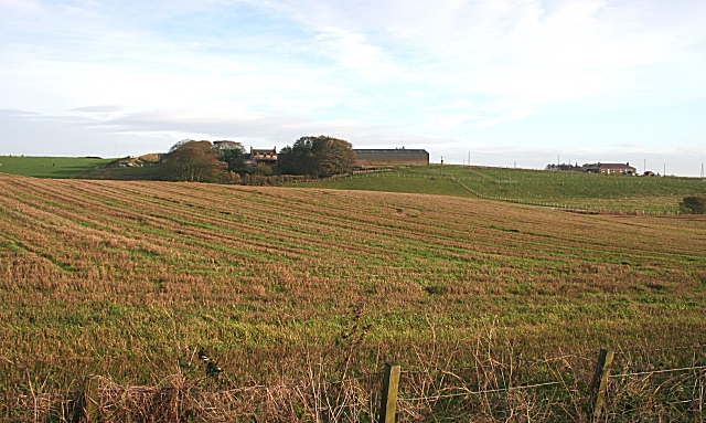
Knockie Hillock is a noteworthy hill located in Aberdeenshire, Scotland. Standing at an elevation of approximately 200 meters (656 feet), it offers breathtaking panoramic views of the surrounding area. Situated near the village of Inverurie, this hill attracts locals and tourists alike who seek outdoor activities and scenic beauty.
The hill features a well-maintained path that leads to the summit, making it accessible for hikers of all skill levels. The trail is surrounded by lush greenery and offers glimpses of wildlife such as deer and various bird species. Along the way, visitors can appreciate the diverse flora, including heather and wildflowers, which add vibrant colors to the landscape.
Reaching the top of Knockie Hillock rewards climbers with stunning vistas over the Aberdeenshire countryside. On clear days, one can see the rolling hills, picturesque farmland, and even the distant peaks of the Grampian Mountains. The view is particularly breathtaking during sunrise or sunset when the sky is painted with hues of orange and purple, creating a truly magical atmosphere.
Knockie Hillock is a popular spot for outdoor enthusiasts, who often engage in activities such as picnicking, photography, and birdwatching. Its proximity to Inverurie makes it easily accessible, and its natural beauty and tranquil surroundings provide a refreshing escape from the hustle and bustle of daily life. Whether it is a leisurely stroll or a more challenging hike, Knockie Hillock offers an unforgettable experience for nature lovers and adventurers alike.
If you have any feedback on the listing, please let us know in the comments section below.
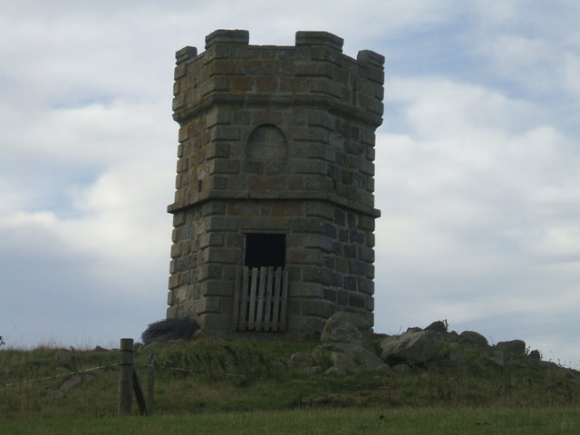
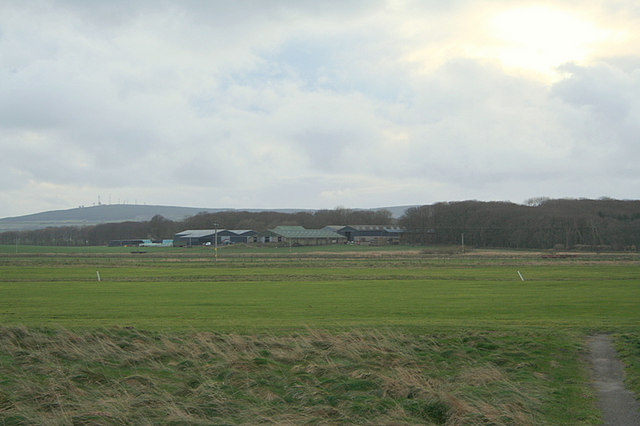
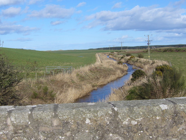
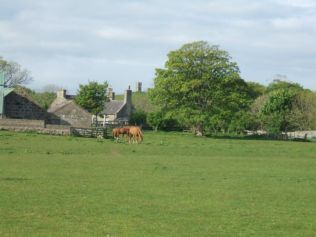
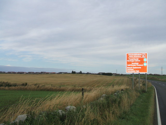
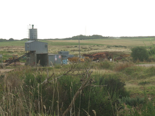
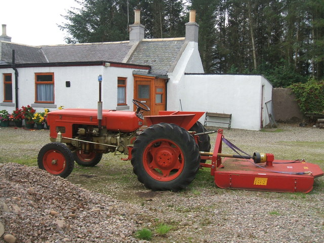
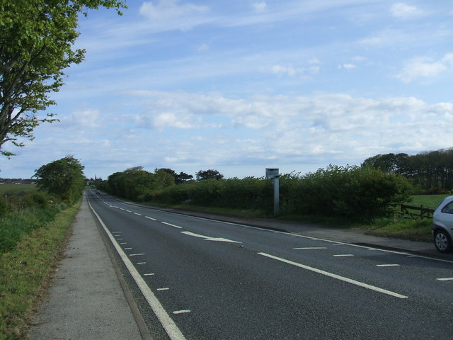
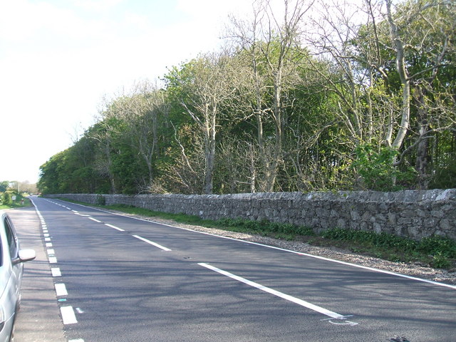
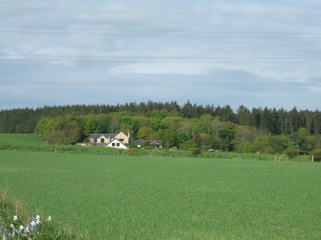
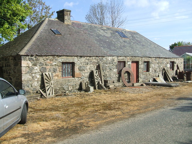
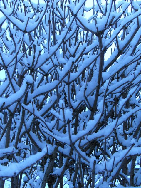
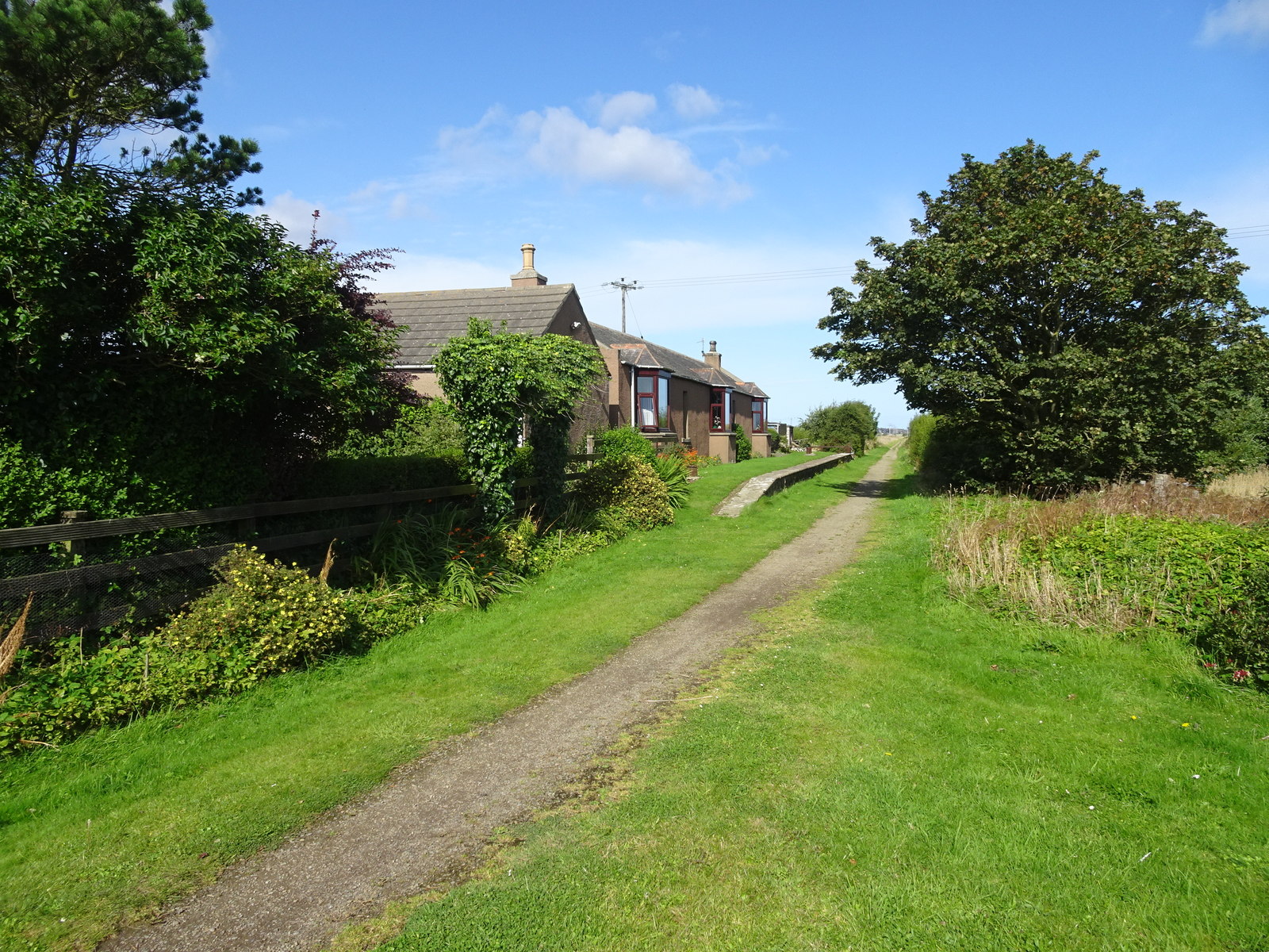
Knockie Hillock Images
Images are sourced within 2km of 57.662955/-2.0170146 or Grid Reference NJ9963. Thanks to Geograph Open Source API. All images are credited.


Knockie Hillock is located at Grid Ref: NJ9963 (Lat: 57.662955, Lng: -2.0170146)
Unitary Authority: Aberdeenshire
Police Authority: North East
What 3 Words
///modem.skis.bluntly. Near Fraserburgh, Aberdeenshire
Nearby Locations
Related Wikis
Philorth Halt railway station
Philorth Halt railway station was a railway station near Philorth House, south of Fraserburgh in Aberdeenshire. == History == The station was opened on...

Kirkton Bridge Halt railway station
Kirkton Bridge Halt railway station or Kirkton Bridge Platform railway station was a request stop on the Fraserburgh and St Combs Light Railway, Aberdeenshire...
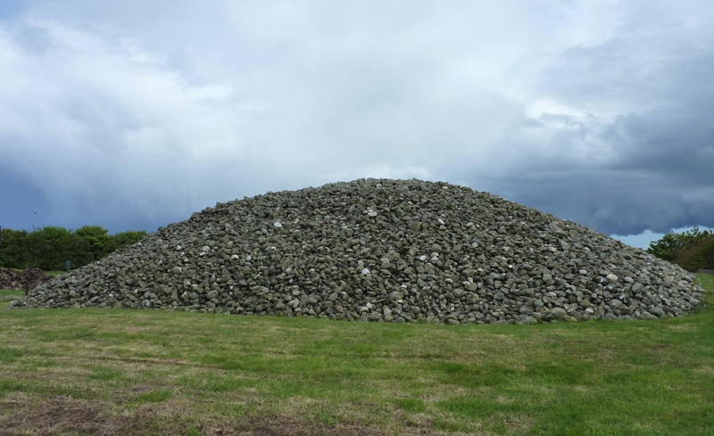
Memsie Cairn
Memsie Cairn is an ancient cairn in Memsie, near Fraserburgh, Aberdeenshire, Scotland. Historic Scotland believe the burial cairn to be from the Bronze...
Fraserburgh United F.C.
Fraserburgh United Football Club are a Scottish football club from the town of Fraserburgh, Aberdeenshire. Members of the Scottish Junior Football Association...
Memsie
Memsie, Aberdeenshire, is a small community near Fraserburgh, Scotland. On Memsie Moor there is a very large stone cairn, Memsie Cairn, which has been...
Banff and Buchan College
Banff and Buchan College was until 1 November 2013 the name of the further education institution in Aberdeenshire, Scotland. In November 2013, Banff &...

Cairnbulg Castle
Cairnbulg Castle is a z-plan castle situated in Cairnbulg, Aberdeenshire, Scotland. It was described by W. Douglas Simpson as one of the nine castles of...
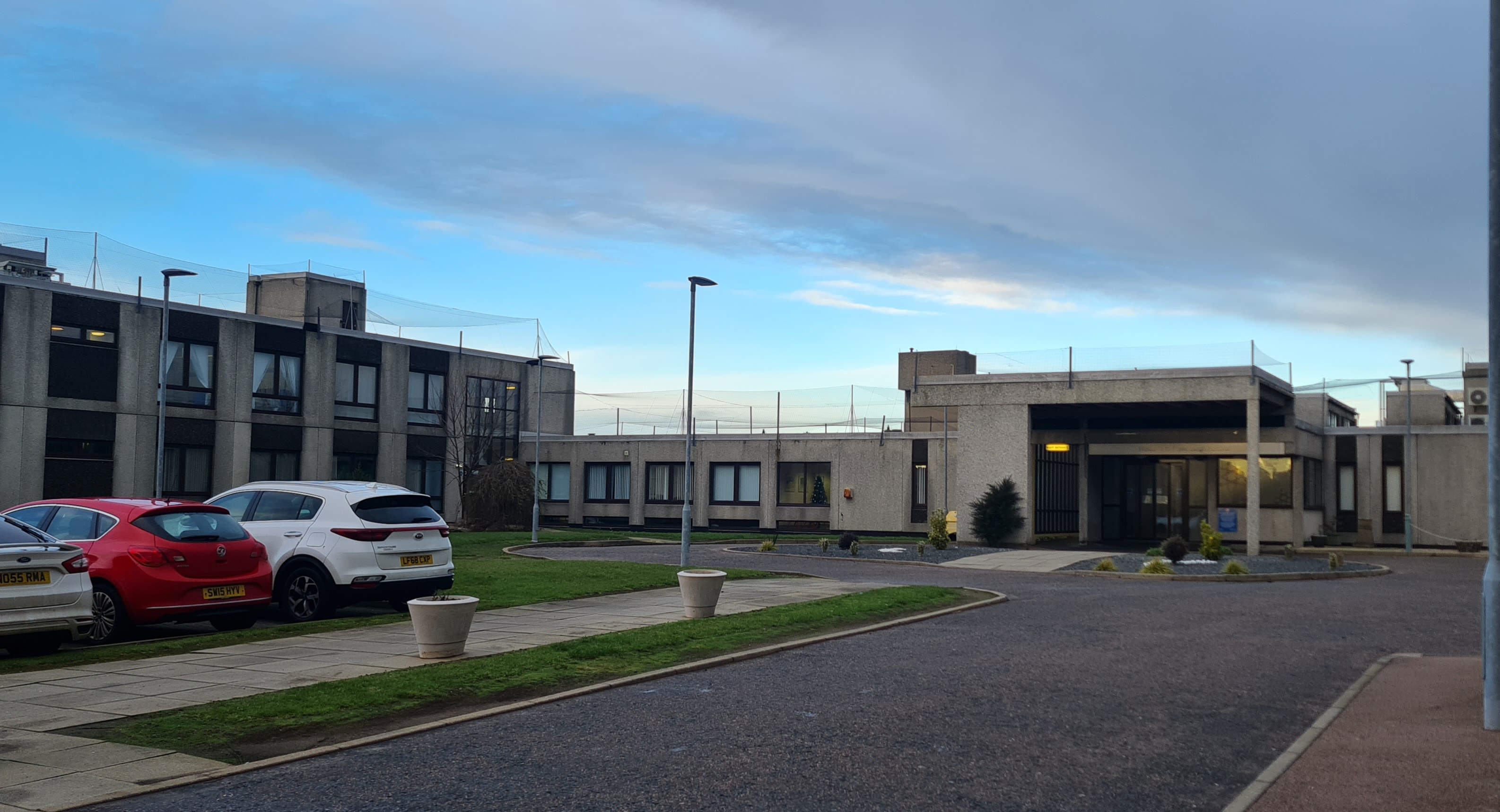
Fraserburgh Hospital
Fraserburgh Hospital is a community hospital in Lochpots Road, Fraserburgh, Scotland. It is managed by NHS Grampian. == History == The facility was established...
Nearby Amenities
Located within 500m of 57.662955,-2.0170146Have you been to Knockie Hillock?
Leave your review of Knockie Hillock below (or comments, questions and feedback).