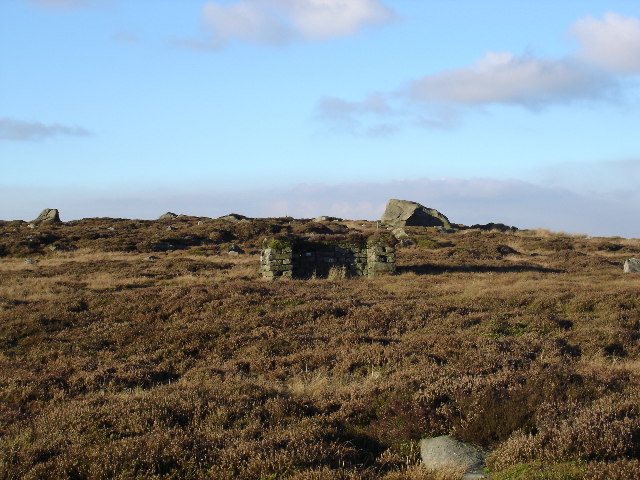
East Harts Hill
Hill, Mountain in Yorkshire Craven
England
East Harts Hill

East Harts Hill is a picturesque hill located in the county of Yorkshire, England. Situated in the northern part of the region, it boasts an elevation of approximately 371 meters (1,217 feet) above sea level, making it one of the prominent hills in the area.
The hill is part of the North York Moors National Park, known for its stunning natural beauty and diverse wildlife. East Harts Hill is surrounded by rolling green pastures, dense woodlands, and offers breathtaking panoramic views of the surrounding countryside. Its location within the national park makes it a popular destination for hikers, nature enthusiasts, and photographers.
The hill itself features a moderately challenging hiking trail that winds its way to the summit. The trail is well-maintained and offers visitors the opportunity to explore the diverse flora and fauna of the area. On clear days, the summit provides an unparalleled view of the North York Moors, with its patchwork of fields, meadows, and quaint villages.
The area surrounding East Harts Hill is rich in history, with evidence of ancient settlements and archaeological sites. Visitors may stumble upon remnants of old stone structures or discover traces of the hill's past. The hill's name derives from the Old English word "heorot," meaning deer, indicating that the area was once a habitat for these majestic creatures.
Overall, East Harts Hill offers a unique blend of natural beauty, recreational opportunities, and historical intrigue. It is a must-visit destination for those seeking an escape into the tranquility and charm of Yorkshire's countryside.
If you have any feedback on the listing, please let us know in the comments section below.
East Harts Hill Images
Images are sourced within 2km of 54.00075/-2.0078817 or Grid Reference SD9956. Thanks to Geograph Open Source API. All images are credited.


East Harts Hill is located at Grid Ref: SD9956 (Lat: 54.00075, Lng: -2.0078817)
Division: West Riding
Administrative County: North Yorkshire
District: Craven
Police Authority: North Yorkshire
What 3 Words
///seat.satellite.rigid. Near Embsay, North Yorkshire
Nearby Locations
Related Wikis
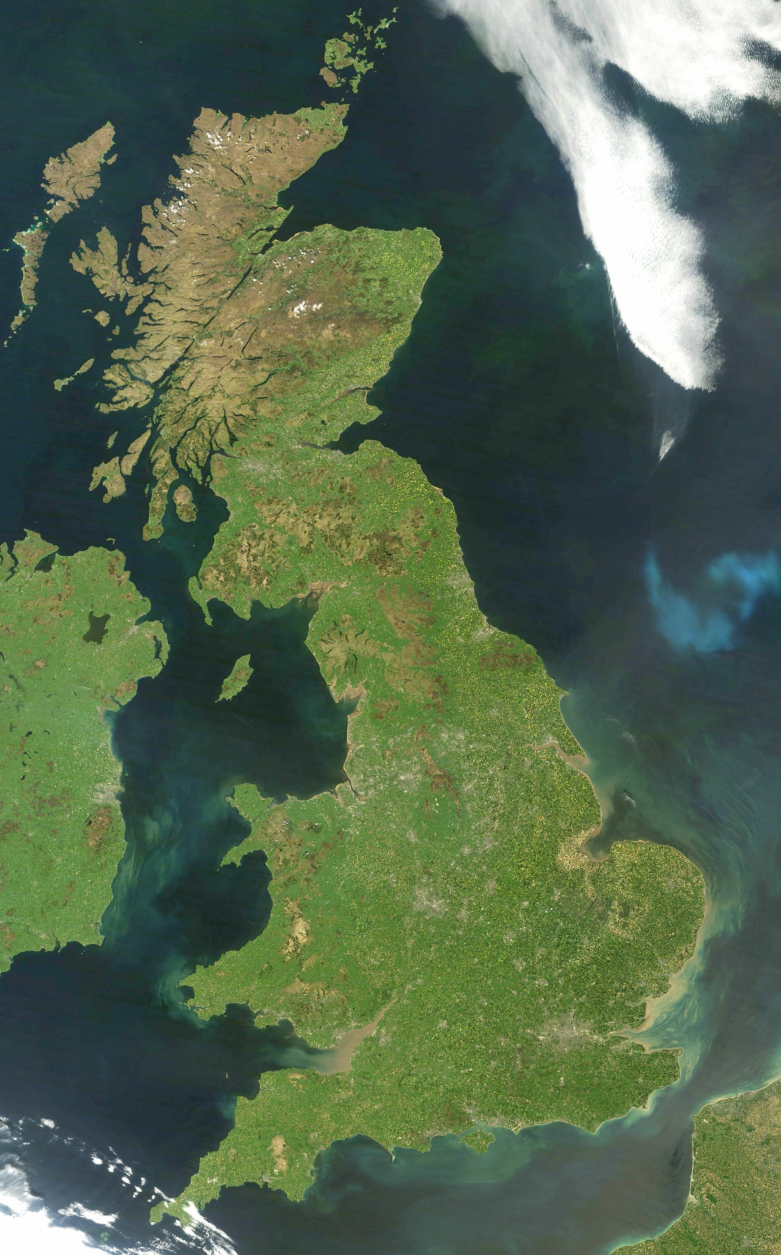
Great Britain
Great Britain is an island in the North Atlantic Ocean off the north-west coast of continental Europe, consisting of England, Scotland and Wales. With...

Yorkshire dialect
The Yorkshire dialect (also known as Broad Yorkshire, Tyke, Yorkie, or Yorkshire English) is a dialect of English, or continuum of dialects, spoken in...

Yorkshire
Yorkshire ( YORK-shər, -sheer) is a historic county in Northern England and the largest by area size in the United Kingdom. Because of its large area...

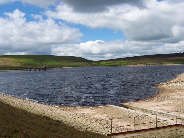
Embsay Reservoir
Embsay Reservoir is located above the village of Embsay, near Skipton in the Yorkshire Dales in North Yorkshire, England. It is owned by Yorkshire Water...
Upper Barden Reservoir
Upper Barden Reservoir is an upland fresh water reservoir, one of two reservoirs that collect water from Barden Moor, and dam Barden Beck, a tributary...

Embsay Priory
Embsay Priory was a medieval monastic house in North Yorkshire, England. The priory was founded in 1120 in Embsay at Wharfedale. It was dedicated to...

Embsay with Eastby
Embsay with Eastby is a civil parish and electoral ward in the Craven district of North Yorkshire, England. Its main settlements are the village of Embsay...
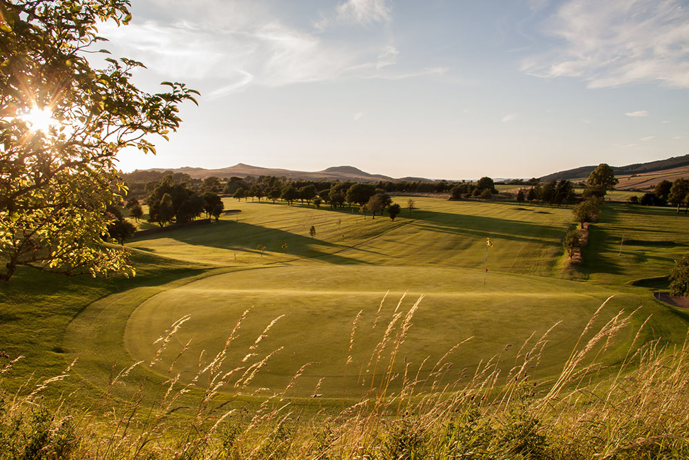
Skipton Golf Club
Skipton Golf Club is a golf club located within the English county of North Yorkshire. Founded within 1893, the club was originally located a short distance...
Nearby Amenities
Located within 500m of 54.00075,-2.0078817Have you been to East Harts Hill?
Leave your review of East Harts Hill below (or comments, questions and feedback).