St Oyne's Hill

Hill, Mountain in Aberdeenshire

Scotland

St Oyne's Hill

Minor road near Rathen
Minor road near Rathen Credit: Steven Brown

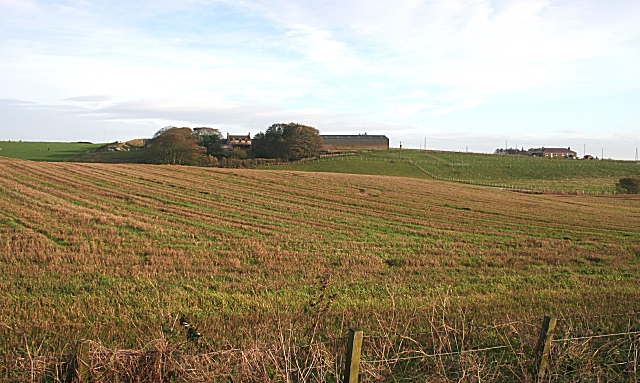
St Oyne's Hill is a prominent geographical feature located in Aberdeenshire, Scotland. Situated near the village of St Oyne, the hill is part of the rolling landscape of the region. While not particularly high, reaching an elevation of approximately 198 meters (650 feet), it offers commanding views of the surrounding countryside.

The hill itself is characterized by a gently sloping terrain covered in lush grasses and scattered with heather and gorse. The vegetation provides habitat for various species of wildlife, including birds, insects, and small mammals. St Oyne's Hill is also home to several species of wildflowers, adding a vibrant splash of color to the landscape during the spring and summer months.

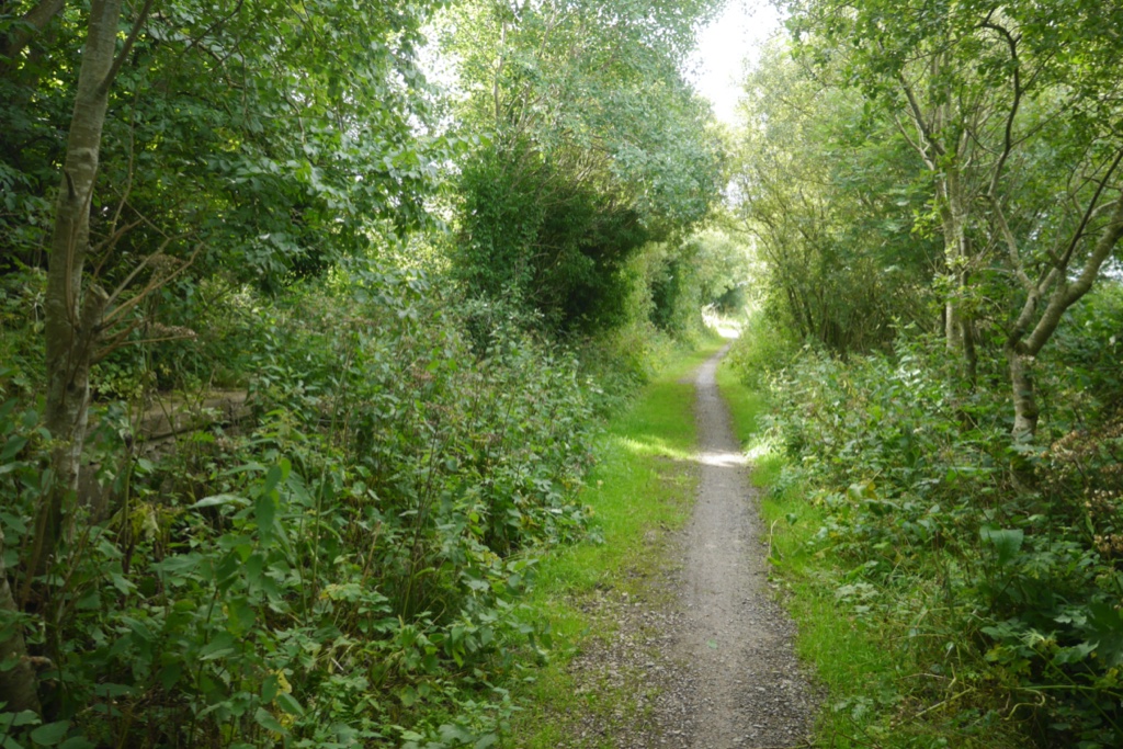
Accessible by foot, the hill offers a popular hiking destination for both locals and visitors alike. There are well-defined paths and trails that lead to the summit, making it relatively easy to navigate. From the top, one can enjoy panoramic vistas of the Aberdeenshire countryside, with views stretching as far as the eye can see.

St Oyne's Hill holds historical significance as well. It is believed to have been used as a lookout point during various periods, including both World Wars. Remnants of these historical uses, such as observation posts and trenches, can still be seen today, adding to the hill's charm and allure.

In conclusion, St Oyne's Hill is a picturesque and historically significant landmark in Aberdeenshire. With its gentle slopes, diverse flora and fauna, and breathtaking views, it offers a serene and enjoyable experience for nature lovers and history enthusiasts.

If you have any feedback on the listing, please let us know in the comments section below.

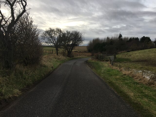
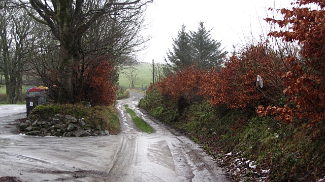
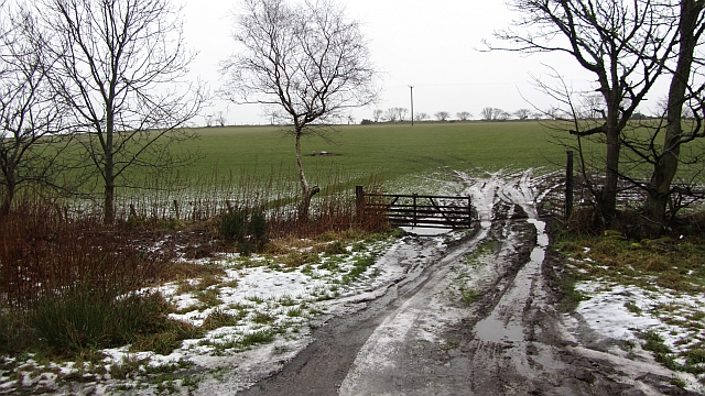
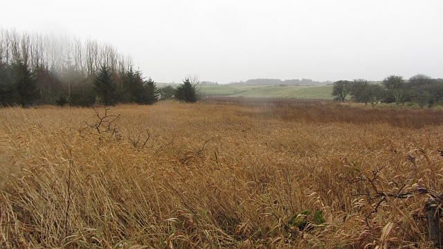
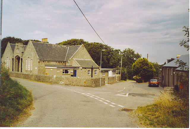
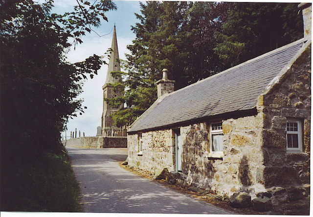
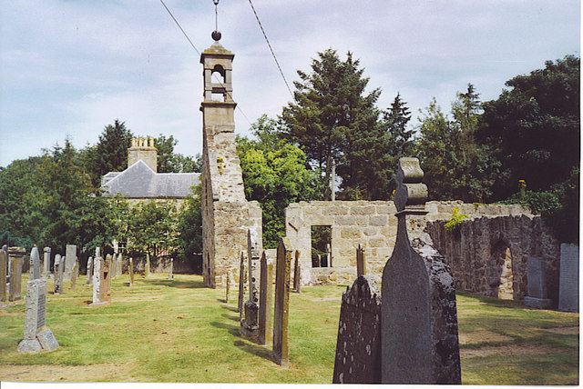
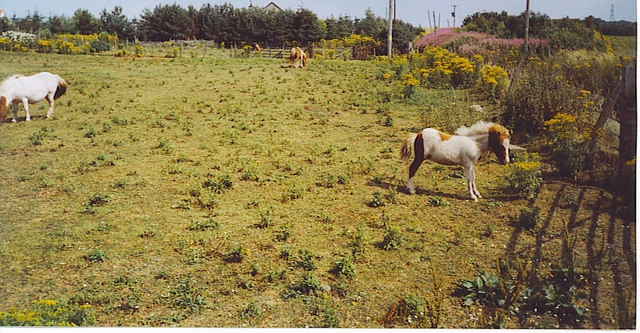
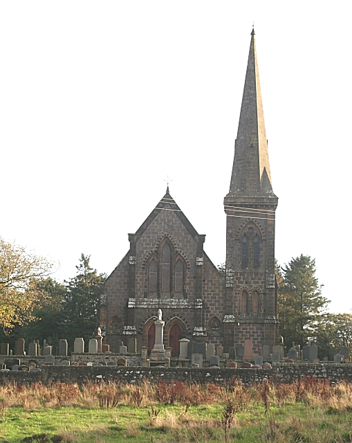
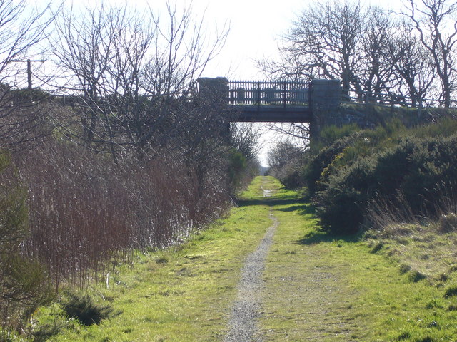
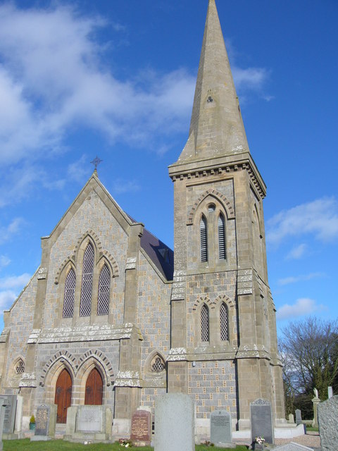
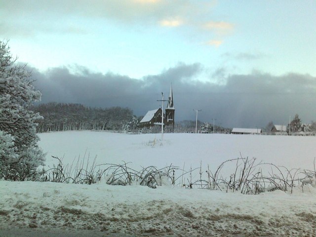
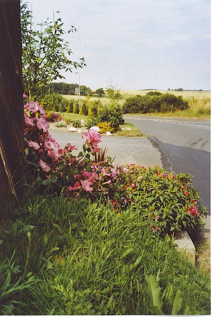
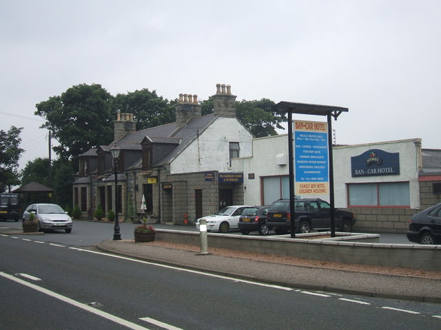
St Oyne's Hill Images

Images are sourced within 2km of 57.632371/-2.0085768 or Grid Reference NJ9960. Thanks to Geograph Open Source API. All images are credited.

Minor road near Rathen
Minor road towards Quarryhead
Minor road near Auchiries
Lane, Rathen Access to outlying residential properties with a hopelessly iced up car park on the left.
Lane, Rathen
Access to outlying residential properties with a hopelessly iced up car park on the left.
Field entrance, south of Rathen During a thaw and at the start of a warm spell the snow has gone, save for icy strips where it was compacted by agricultural vehicles.
Field entrance, south of Rathen
During a thaw and at the start of a warm spell the snow has gone, save for icy strips where it was compacted by agricultural vehicles.
Winter cereals A wet arable field inside a right angled road bend.
Winter cereals
A wet arable field inside a right angled road bend.
Wetland, Rathen A small area of marsh remains near Brig o' Craigengorie.
Wetland, Rathen
A small area of marsh remains near Brig o' Craigengorie.
Rathen Primary School and Village Hall This small Buchan village was originally a farming community and most of its old buildings built of granite. The local Peterhead granite is pink.
Rathen Primary School and Village Hall
This small Buchan village was originally a farming community and most of its old buildings built of granite. The local Peterhead granite is pink.
Rathen, West Kirk The spire dominates the village and immediate vicinity. The Gothic style kirk dates from 1870 and replaced the older, ruined one, to the east. Beside the church is a derelict but'n'ben, an old single-storey, two-roomed cottage built of granite.
Rathen, West Kirk
The spire dominates the village and immediate vicinity. The Gothic style kirk dates from 1870 and replaced the older, ruined one, to the east. Beside the church is a derelict but'n'ben, an old single-storey, two-roomed cottage built of granite.
Rathen, Old Kirk The ruined St Ethernan's sits beside the modern Rathen West Kirk. Some of the remains are pre-Reformation when its patron was Alexander Fraser of Philorth (Philorth established the planned town of Fraserburgh). Behind the ruined kirk is Rathen House.
Rathen, Old Kirk
The ruined St Ethernan's sits beside the modern Rathen West Kirk. Some of the remains are pre-Reformation when its patron was Alexander Fraser of Philorth (Philorth established the planned town of Fraserburgh). Behind the ruined kirk is Rathen House.
In Rathen Scrubby field on the edge of the village. The roofs of scattered new cottages are visible above the trees. The ground is very dry due to the long, dry spell.
In Rathen
Scrubby field on the edge of the village. The roofs of scattered new cottages are visible above the trees. The ground is very dry due to the long, dry spell.
Rathen Kirk This is the 19th century kirk which replaced an older one, now in ruins.
Rathen Kirk
This is the 19th century kirk which replaced an older one, now in ruins.
Disused railway Now the Formartine and Buchan Way cyclepath
Disused railway
Now the Formartine and Buchan Way cyclepath
Kirk at Rathen
Kirk at Rathen
Rathen Church after the snow
The Edge of Rathen This small village has a mix of old and new cottages. Rathen is connected to the main A92 by the minor road above. Some of the gardens, like this one, stretch to the road verges. Beyond are some of the large cereal fields of Buchan, a very rich farming area.
The Edge of Rathen
This small village has a mix of old and new cottages. Rathen is connected to the main A92 by the minor road above. Some of the gardens, like this one, stretch to the road verges. Beyond are some of the large cereal fields of Buchan, a very rich farming area.
Braehead Fields near Memsie.
Braehead
Fields near Memsie.
Fordafourie Rolling farmland near Rathen.
Fordafourie
Rolling farmland near Rathen.
Show me another place!

St Oyne's Hill is located at Grid Ref: NJ9960 (Lat: 57.632371, Lng: -2.0085768)

Unitary Authority: Aberdeenshire

Police Authority: North East

What 3 Words

///unguarded.gaps.upset. Near Fraserburgh, Aberdeenshire

Related Wikis

Rathen, Aberdeenshire

Rathen is a parish and hamlet near Fraserburgh, Aberdeenshire, Scotland. In Scottish Gaelic, its name means fort on the river. On the coast is Cairnbulg...

Cortes, Aberdeenshire

Cortes is a rural settlement in the Banff and Buchan area of Aberdeenshire, Scotland, situated in the parish of Rathen, 7.8 kilometres (4.8 mi) south of...

Lonmay railway station

Lonmay railway station was a railway station in Lonmay, Aberdeenshire. == History == The station was opened on 24 April 1865 by the Formartine and Buchan...

Lonmay

Lonmay (Scottish Gaelic: Lòn Magh) is a village and parish in the Buchan area of Aberdeenshire, Scotland. It lies along the A90 road, between Peterhead...

Nearby Amenities

Located within 500m of 57.632371,-2.0085768
Happy Hillocks
Place: locality
Lat/Long: 57.6306829/-2.0043349
Middletack Farm
Place: farm
Lat/Long: 57.6324459/-2.0136707
Power: pole
Lat/Long: 57.6331977/-2.0003539
Power: pole
Lat/Long: 57.6342289/-2.0153462
Power: pole
Lat/Long: 57.633812/-2.0145471
Power: pole
Lat/Long: 57.6333866/-2.0137547
Power: pole
Lat/Long: 57.6329854/-2.0130098
Power: pole
Lat/Long: 57.6324549/-2.0128517
Power: pole
Lat/Long: 57.6319401/-2.012705
Power: pole
Lat/Long: 57.6310542/-2.0124499
Power: pole
Lat/Long: 57.6304524/-2.0122851
Power: pole
Lat/Long: 57.6298988/-2.0121271
Power: pole
Lat/Long: 57.6293042/-2.0119691
Power: pole
Lat/Long: 57.6366046/-2.0102851
Power: pole
Lat/Long: 57.6365925/-2.0090819
Power: pole
Lat/Long: 57.6328839/-2.013678
Power: pole
Lat/Long: 57.6327594/-2.0143642
The data included in this document is from www.openstreetmap.org. The data is made available under ODbL.

Have you been to St Oyne's Hill?

Leave your review of St Oyne's Hill below (or comments, questions and feedback).