Ballom Hill

Hill, Mountain in Worcestershire Wychavon

England

Ballom Hill

Quiet country road Quiet country road near Stock Wood.
Quiet country road Credit: Philip Halling

Ballom Hill is a prominent hill located in the county of Worcestershire, England. Situated near the village of Hanley Swan, it is a well-known geographical feature within the region. Although referred to as a hill, it is more accurately described as a low-lying mountain due to its elevation and steep slopes.

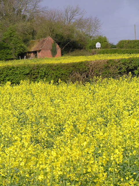
With an altitude of approximately 317 meters (1,040 feet), Ballom Hill offers breathtaking panoramic views of the surrounding countryside. Its distinctive shape and lush greenery make it a popular destination for hikers, nature enthusiasts, and photographers. The hill is characterized by its undulating terrain, covered in a mixture of grassland, shrubs, and occasional woodland.

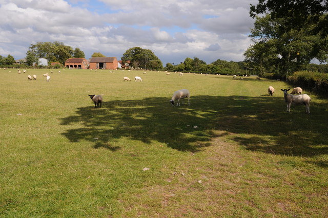
Ballom Hill is renowned for its diverse flora and fauna, providing a habitat for various species of plants and wildlife. The hill is home to a range of bird species, including kestrels, buzzards, and owls, making it an ideal spot for birdwatching. Additionally, it supports a variety of wildflowers, such as bluebells and orchids, which create a colorful spectacle during the spring and summer months.

The hill's historical significance is also notable, as it has traces of ancient settlements and burial mounds. Archaeological excavations have revealed artifacts dating back to the Iron Age, suggesting human habitation in the area for thousands of years.

Overall, Ballom Hill is a picturesque and culturally significant landmark in Worcestershire, attracting visitors and locals alike who seek to immerse themselves in its natural beauty and explore its rich history.

If you have any feedback on the listing, please let us know in the comments section below.
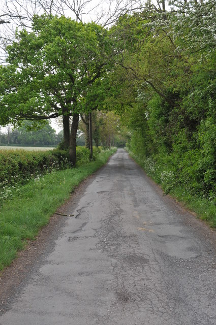
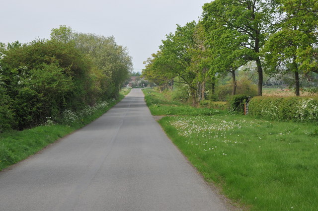
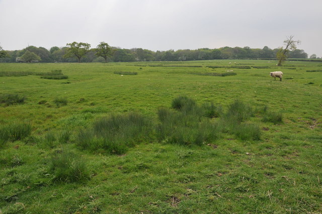
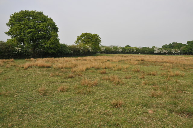
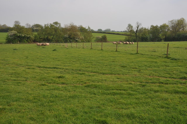
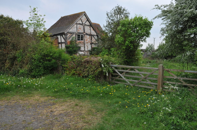
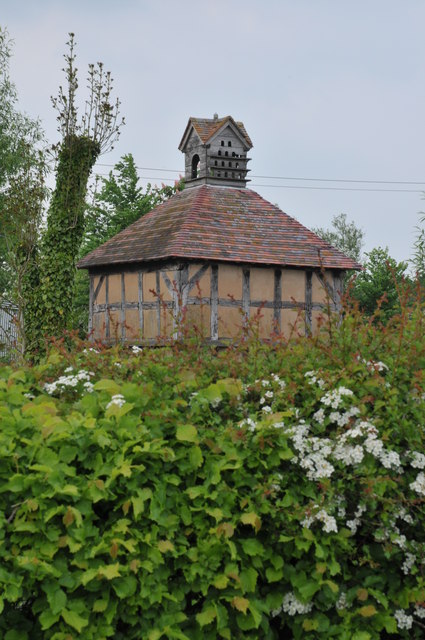
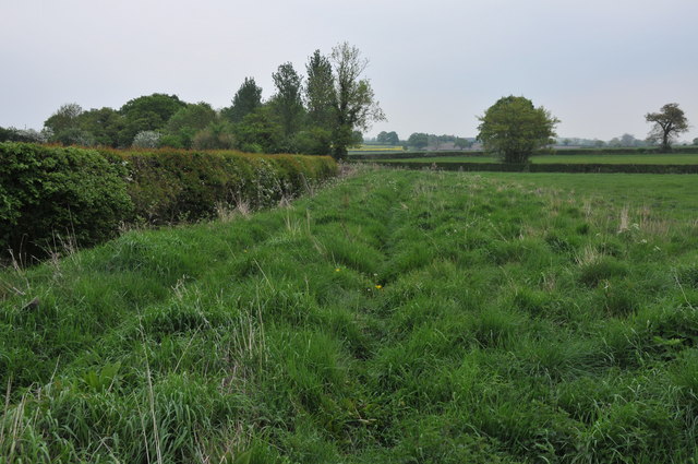
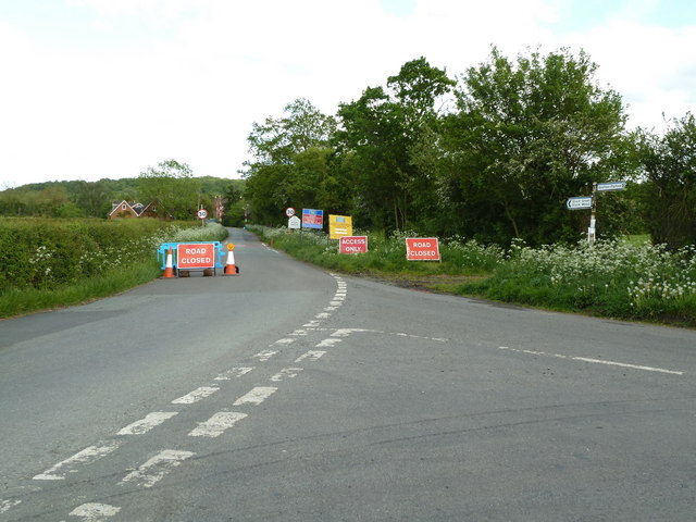
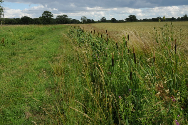
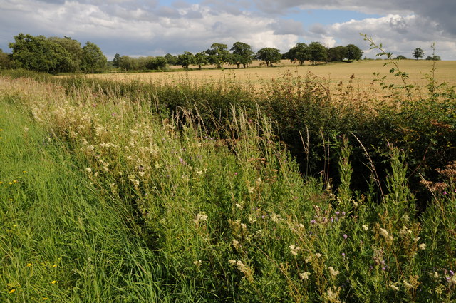
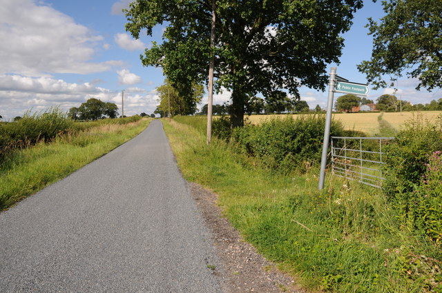
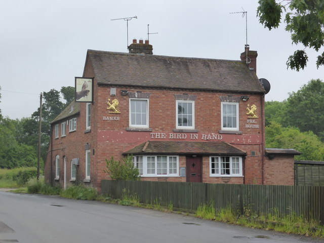
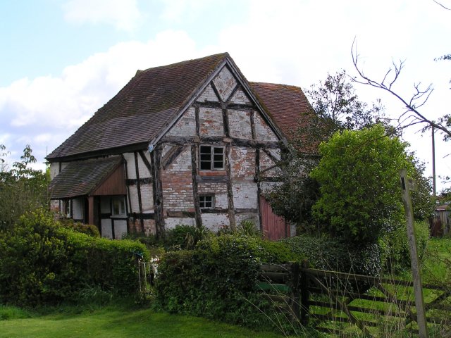
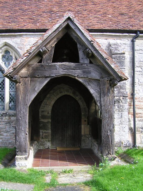
Ballom Hill Images

Images are sourced within 2km of 52.221852/-2.0268753 or Grid Reference SO9858. Thanks to Geograph Open Source API. All images are credited.

Quiet country road Quiet country road near Stock Wood.
Quiet country road
Quiet country road near Stock Wood.
Country road near Stock Green This road approaches a t-junction in a small hamlet which is not named on the OS map.
Country road near Stock Green
This road approaches a t-junction in a small hamlet which is not named on the OS map.
Farmland beside Grafton Wood On the far side of this field the Wychavon Way passes beside the Grafton Wood.
Farmland beside Grafton Wood
On the far side of this field the Wychavon Way passes beside the Grafton Wood.
Farmland near Stock Green At present this field is dry however the reeds suggest this field normally lies wet.
Farmland near Stock Green
At present this field is dry however the reeds suggest this field normally lies wet.
Bridleway to Upper Kite's Wood This bridleway passes Upper Kite's Wood and joins the Wychavon Way.
Bridleway to Upper Kite's Wood
This bridleway passes Upper Kite's Wood and joins the Wychavon Way.
Sheep near Cockshot Farm Sheep near Cockshot Farm near Kington.
Sheep near Cockshot Farm
Sheep near Cockshot Farm near Kington.
Old cottage at Dormston An old cottage in a sorry state beside the road to Dormston
Old cottage at Dormston
An old cottage in a sorry state beside the road to Dormston
Dovecot at Dormston Dovecot viewed from the road in Dormston.
Dovecot at Dormston
Dovecot viewed from the road in Dormston.
Bridleway at Dormston Bridleway from Dormston to Stock Green.
Bridleway at Dormston
Bridleway from Dormston to Stock Green.
The edge of Stock Green A road junction on the edge of Hollow Court but the signs proclaim this to be Stock Green. The road to the right goes to Grafton Flyford and Himbleton. The road ahead was closed for sewer works.
The edge of Stock Green
A road junction on the edge of Hollow Court but the signs proclaim this to be Stock Green. The road to the right goes to Grafton Flyford and Himbleton. The road ahead was closed for sewer works.
Bulrushes beside the Wychavon Way Bulrushes growing in a drainage channel beside a footpath which is marked on the OS map as the Wychavon Way though I believe it may have since been rerouted.
Bulrushes beside the Wychavon Way
Bulrushes growing in a drainage channel beside a footpath which is marked on the OS map as the Wychavon Way though I believe it may have since been rerouted.
Sheep and Hill Top Farm Sheep in a field with Hill Top Farm in the background.
Sheep and Hill Top Farm
Sheep in a field with Hill Top Farm in the background.
Roadside verge near Shell Summer growth on the road verge between Shell and Earl's Common.
Roadside verge near Shell
Summer growth on the road verge between Shell and Earl's Common.
Footpath to Hill Top Farm Two footpaths cross farmland to the right one of which leads to Hill Top Farm.
Footpath to Hill Top Farm
Two footpaths cross farmland to the right one of which leads to Hill Top Farm.
Another closed public house - Stock Green The Bird in Hand is closed but still furnished. It doesn't look like anybody is living there either.
Another closed public house - Stock Green
The Bird in Hand is closed but still furnished. It doesn't look like anybody is living there either.
Old cottage near Dormston.
Door of Dormston Church taken in one of the gaps between frequent showers.
Door of Dormston Church
taken in one of the gaps between frequent showers.
Rape field at Stock Wood Just round the corner is a nice old pub, The Bird in Hand.
Rape field at Stock Wood
Just round the corner is a nice old pub, The Bird in Hand.
Show me another place!

Ballom Hill is located at Grid Ref: SO9858 (Lat: 52.221852, Lng: -2.0268753)

Administrative County: Worcestershire

District: Wychavon

Police Authority: West Mercia

What 3 Words

///weeknight.list.guitar. Near Kington, Worcestershire

Related Wikis

Dormston

Dormston is a village and civil parish in Worcestershire about 3 miles (4.8 km) south of Redditch. == Name == Dormston's toponym has evolved from Deormodesealdtune...

Grafton Flyford

Grafton Flyford is a village about 6 miles (9.7 km) east of Worcester, in Worcestershire, England. It neighbours Stock Green, with the large farm house...

Little Inkberrow

Little Inkberrow is a village in Worcestershire, England. Ralph Ardern inherited the Worcestershire manor of Little Inkberrow between 1382 (the death...

Kington, Worcestershire

Kington is a village in Worcestershire, England, situated near to Flyford Flavell. == History == The earliest known recording of Kington in the Domesday...

Grafton Wood

Grafton Wood is a nature reserve near the village of Grafton Flyford, about 6 miles (9.7 km) east of Worcester, in Worcestershire, England. == Description... ==

Earls Common

Earls Common is a village in Worcestershire, England. Villages nearby include Himbleton and Stock Green.

Bradley Green, Worcestershire

Bradley Green is a village in the Wychavon district of Worcestershire, England. It is located just south of the town of Redditch and south of Feckenham...

Sporting Club Inkberrow F.C.

Sporting Club Inkberrow Football Club is a football club based in Inkberrow, England. They are currently members of the Hellenic League Division One and...

Nearby Amenities

Located within 500m of 52.221852,-2.0268753
Power: pole
Lat/Long: 52.2258961/-2.0253119
Power: pole
Lat/Long: 52.2251403/-2.026948
Power: pole
Lat/Long: 52.2244502/-2.0284273
Power: pole
Lat/Long: 52.2238686/-2.0297322
Hollow Wood
Power: pole
Transformer: distribution
Voltage Primary: 11000
Lat/Long: 52.2242498/-2.0309834
Power: pole
Lat/Long: 52.2233264/-2.0308922
Power: pole
Lat/Long: 52.2227997/-2.0322078
Power: pole
Lat/Long: 52.2209775/-2.0338266
Power: pole
Lat/Long: 52.221744/-2.0337434
Power: pole
Lat/Long: 52.2224982/-2.0337099
The data included in this document is from www.openstreetmap.org. The data is made available under ODbL.

Have you been to Ballom Hill?

Leave your review of Ballom Hill below (or comments, questions and feedback).