Codford Hill
Hill, Mountain in Wiltshire
England
Codford Hill

Codford Hill is a prominent geographical feature located in the county of Wiltshire, England. Situated near the village of Codford, this hill is part of the Cranborne Chase and West Wiltshire Downs Area of Outstanding Natural Beauty. Rising to an elevation of approximately 194 meters (636 feet), Codford Hill offers stunning panoramic views of the surrounding countryside.
The hill itself is characterized by its gently sloping terrain and is primarily covered in grassland, interspersed with patches of woodland. Its prominent position makes it a popular destination for outdoor enthusiasts, hikers, and nature lovers who seek to explore the natural beauty of this area. There are several footpaths and trails that crisscross the hill, providing visitors with opportunities to discover its diverse flora and fauna.
Codford Hill also holds historical significance, dating back to the Neolithic period. Archaeological evidence suggests that the hill was once home to prehistoric settlements, as evidenced by the presence of burial mounds and ancient earthworks. Today, remnants of these ancient structures can still be observed, adding to the hill's allure and providing a glimpse into its rich past.
Visitors to Codford Hill can enjoy a peaceful and tranquil environment, away from the hustle and bustle of urban life. The hill offers ample space for picnics, leisurely walks, and even kite flying. Its scenic beauty, combined with its historical significance, makes Codford Hill a must-visit destination for those seeking a connection with nature and a deeper understanding of Wiltshire's cultural heritage.
If you have any feedback on the listing, please let us know in the comments section below.
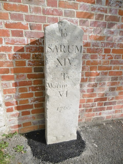
Codford Hill Images
Images are sourced within 2km of 51.164248/-2.0263501 or Grid Reference ST9840. Thanks to Geograph Open Source API. All images are credited.


Codford Hill is located at Grid Ref: ST9840 (Lat: 51.164248, Lng: -2.0263501)
Unitary Authority: Wiltshire
Police Authority: Wiltshire
What 3 Words
///seducing.fells.jetting. Near Stockton, Wiltshire
Nearby Locations
Related Wikis
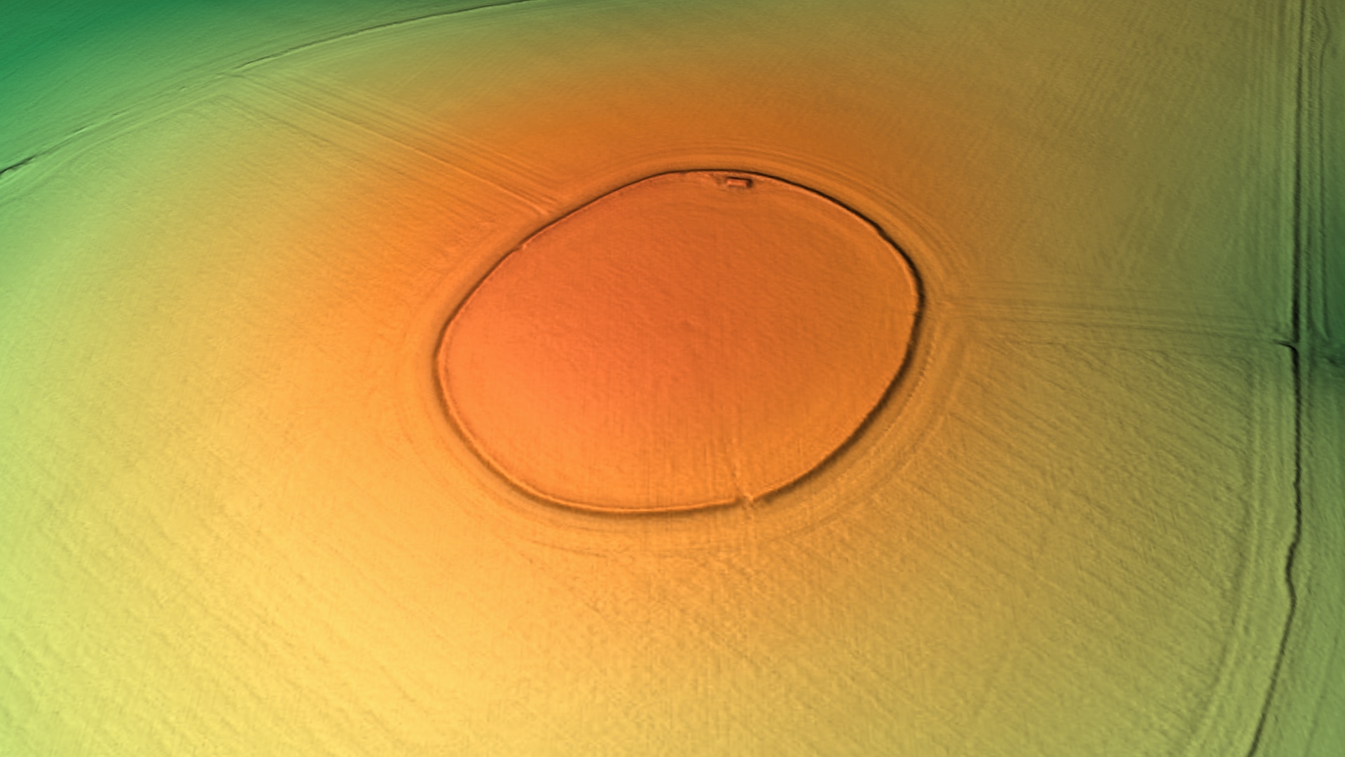
Codford Circle
Codford Circle, also known as Wilsbury Ring, Woldsbury, and possibly Oldbury Camp, is a neolithic hill top enclosure or possible hillfort located on the...

Starveall and Stony Down
Starveall and Stony Down is a 22.5 hectare biological Site of Special Scientific Interest in the parishes of Codford and Wylye, Wiltshire, England, notified...

Codford
Codford is a civil parish south of Salisbury Plain in the Wylye Valley in Wiltshire, England. Its settlements are the adjacent villages of Codford St Peter...

Woolstore Theatre
The Woolstore Theatre is a theatre in the village of Codford, Wiltshire, England. The theatre has been operating since 1928, when it was built by Colonel...
Nearby Amenities
Located within 500m of 51.164248,-2.0263501Have you been to Codford Hill?
Leave your review of Codford Hill below (or comments, questions and feedback).