Butler Hill

Hill, Mountain in Yorkshire Craven

England

Butler Hill

Heather moorland on Burnt Hill Heather growth is regularly controlled by burning; I wonder if that's how the hill got its name?
Heather moorland on Burnt Hill Credit: Stephen Craven

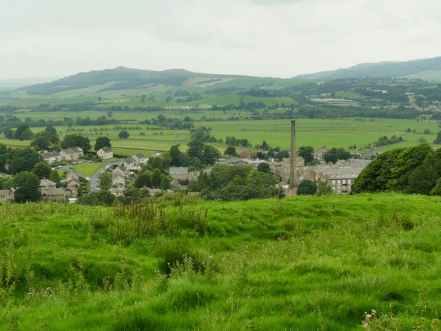
Butler Hill is a prominent hill located in the county of Yorkshire, England. Situated in the Yorkshire Dales National Park, it is part of the Pennine range and stands at an elevation of approximately 561 meters (1,841 feet) above sea level. The hill is known for its rugged and picturesque landscape, offering breathtaking views of the surrounding countryside.

Covered in lush greenery, Butler Hill is predominantly composed of limestone, a characteristic feature of the region. It is a popular destination for hikers, nature enthusiasts, and outdoor adventurers, who are drawn to its challenging terrains and stunning vistas. The hill is crisscrossed by several well-marked walking trails, allowing visitors to explore its natural beauty at their own pace.

Apart from its scenic charm, Butler Hill is also home to a diverse range of flora and fauna. The hillside is adorned with vibrant wildflowers during the summer months, while the surrounding woodlands provide a habitat for various bird species, including the elusive peregrine falcon. Wildlife such as rabbits, foxes, and deer can also be spotted in the area.

At the summit of Butler Hill, there is a trig point, a concrete pillar used in geodetic surveys, which serves as a reference point for mapping and navigation purposes. It offers panoramic views of the rolling hills and valleys below, making it a popular spot for photographers and nature lovers alike.

Overall, Butler Hill in Yorkshire is a captivating natural landmark, offering visitors a chance to immerse themselves in the beauty of the British countryside and appreciate the wonders of the Yorkshire Dales.

If you have any feedback on the listing, please let us know in the comments section below.
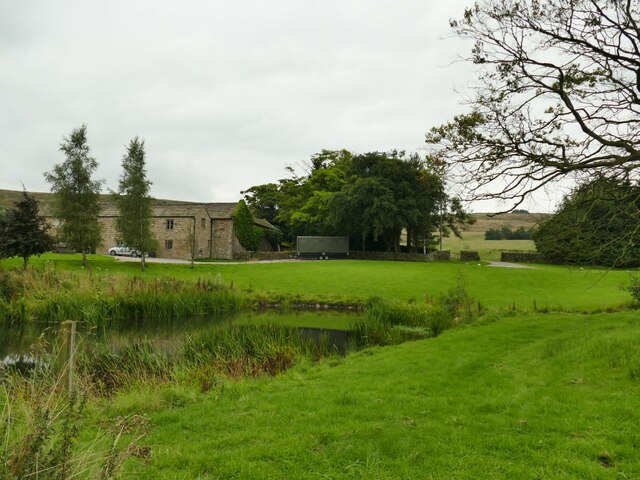
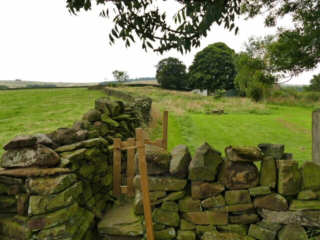
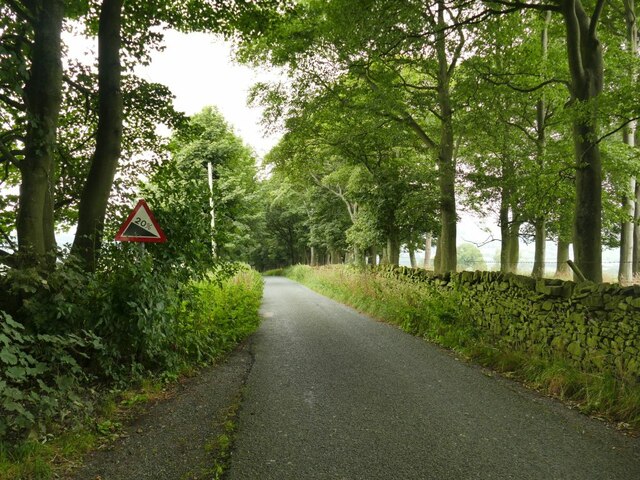
Butler Hill Images

Images are sourced within 2km of 53.93928/-2.0279164 or Grid Reference SD9849. Thanks to Geograph Open Source API. All images are credited.

Heather moorland on Burnt Hill Heather growth is regularly controlled by burning; I wonder if that's how the hill got its name?
Heather moorland on Burnt Hill
Heather growth is regularly controlled by burning; I wonder if that's how the hill got its name?
Peat Gill Head A cattle farm above Cononley.
Peat Gill Head
A cattle farm above Cononley.
Gap in a wall on Burnt Hill A regular rectangular gap beneath the capstones, suggesting it's intentional, perhaps as a sheep creep.
Gap in a wall on Burnt Hill
A regular rectangular gap beneath the capstones, suggesting it's intentional, perhaps as a sheep creep.
Bench above Carleton Park The bench was ideally placed as I was looking for a lunch stop, and was in remarkable good condition - either recently installed or refurbished. The location in a corner of a wall shelters it from prevailing winds.  There is no plaque or wording, only the symbol of the Yorkshire rose.
Bench above Carleton Park
The bench was ideally placed as I was looking for a lunch stop, and was in remarkable good condition - either recently installed or refurbished. The location in a corner of a wall shelters it from prevailing winds. There is no plaque or wording, only the symbol of the Yorkshire rose.
Ramshaw from below Burnt Hill The name is that of a ridge with a public footpath running along it. I guess the etymology and maybe pronunciation is rams'haw rather than ram'shaw since 'haw' is a local name for a small hill.
Ramshaw from below Burnt Hill
The name is that of a ridge with a public footpath running along it. I guess the etymology and maybe pronunciation is rams'haw rather than ram'shaw since 'haw' is a local name for a small hill.
Footpath to Carleton Park Probably muddy in winter, but dry enough in summer.
Footpath to Carleton Park
Probably muddy in winter, but dry enough in summer.
Ladder stile at Carleton Park There is no public footpath the other side of the wall, so it must just be for estate workers.
Ladder stile at Carleton Park
There is no public footpath the other side of the wall, so it must just be for estate workers.
Young oaks at Carleton Park Two individual trees, strongly fenced in to prevent damage by livestock, and now thriving.
Young oaks at Carleton Park
Two individual trees, strongly fenced in to prevent damage by livestock, and now thriving.
Pond at Carleton Park Carleton Park was once one of the deer parks of the Cliffords (Lords of Skipton); it is now a private estate offering grouse and pheasant shooting, but there are some public rights of way through it including one just to the left of the pond.
Pond at Carleton Park
Carleton Park was once one of the deer parks of the Cliffords (Lords of Skipton); it is now a private estate offering grouse and pheasant shooting, but there are some public rights of way through it including one just to the left of the pond.
Carleton Park Carleton Park was once one of the deer parks of the Cliffords (Lords of Skipton); it is now a private estate offering grouse and pheasant shooting, but there are some public rights of way through it including one just to the right of the pond.
Carleton Park
Carleton Park was once one of the deer parks of the Cliffords (Lords of Skipton); it is now a private estate offering grouse and pheasant shooting, but there are some public rights of way through it including one just to the right of the pond.
Path through a garden This looks to be a private garden of Quarry Hill House on the other side of the road, but there is a right of way along the left edge, through the stile seen here.
Path through a garden
This looks to be a private garden of Quarry Hill House on the other side of the road, but there is a right of way along the left edge, through the stile seen here.
Park Lane, Carleton The house in the middle distance is Quarry Hill House <a href="https://www.geograph.org.uk/photo/4753279">SD9648 : Quarry Hill Cottage, Park Lane</a>.
Park Lane, Carleton
The house in the middle distance is Quarry Hill House SD9648 : Quarry Hill Cottage, Park Lane.
Gradient sign approaching Carleton The sign indicates a descent of 20% as indicated by a double arrow on the map.
Gradient sign approaching Carleton
The sign indicates a descent of 20% as indicated by a double arrow on the map.
View of Carleton Seen from the road from Lothersdale.
View of Carleton
Seen from the road from Lothersdale.
Carleton Social Club On Park Lane.
Carleton Social Club
On Park Lane.
The centre of Carleton village A solo cyclist passes the junction in the village centre, next to the Swan Inn.
The centre of Carleton village
A solo cyclist passes the junction in the village centre, next to the Swan Inn.
The Swan Inn, Carleton Listed grade II (list entry 1301161).
The Swan Inn, Carleton
Listed grade II (list entry 1301161).
Detail of Carleton Old Library The 'library' sign is still above the door in bas-relief. Presumably now in residential use.
Detail of Carleton Old Library
The 'library' sign is still above the door in bas-relief. Presumably now in residential use.
Show me another place!

Butler Hill is located at Grid Ref: SD9849 (Lat: 53.93928, Lng: -2.0279164)

Division: West Riding

Administrative County: North Yorkshire

District: Craven

Police Authority: North Yorkshire

What 3 Words

///tomorrow.skewing.shelving. Near Low Bradley, North Yorkshire

Nearby Locations

Butler Hill

Related Wikis

Eller Beck

The Eller Beck is a small river in North Yorkshire, England, that flows through the town of Skipton and is a tributary of the River Aire. Its channel was...
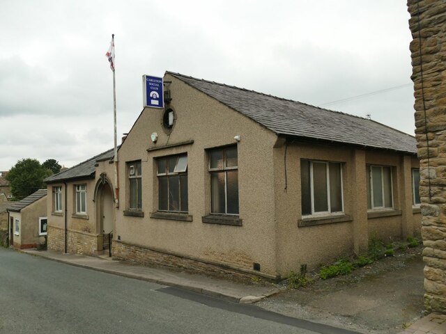
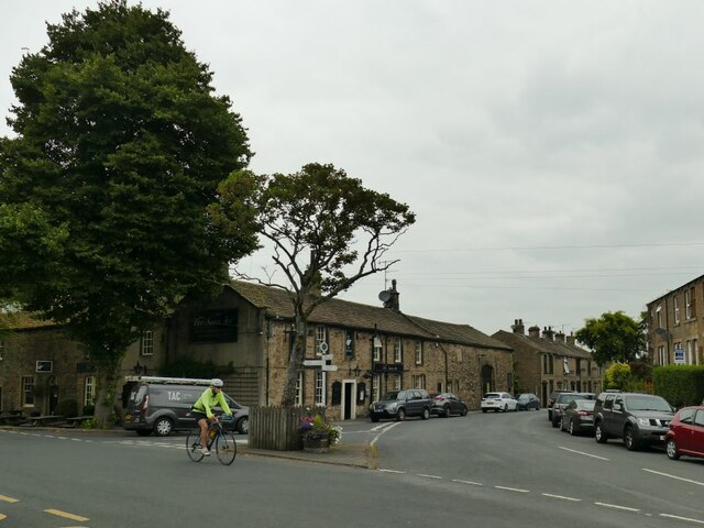
Carleton-in-Craven

Carleton-in-Craven is a small village and civil parish in the Craven district of North Yorkshire, England, and situated just over 1.5 miles (2.4 km) south...

Skipton General Hospital

Skipton General Hospital is a health facility in Keighley Road, Skipton, North Yorkshire, England. It is managed by Airedale NHS Foundation Trust. ��2...

Staincliffe Wapentake

Staincliffe, also known as Staincliff, was a wapentake of the West Riding of Yorkshire, England. The wapentake was named from a place called Staincliffe...

Skipton railway station

Skipton railway station is a Grade II listed station which serves the market town of Skipton in North Yorkshire, England on the Airedale Line, which gives...

Plaza Cinema, Skipton

The Plaza Cinema is a traditional cinema located in Skipton, North Yorkshire, England. It is the sole survivor of four cinemas that once existed in the...

Bradley, North Yorkshire

Bradley is a village in North Yorkshire, England. It is situated between Skipton and Keighley, approximately 1⁄2 mile (800 m) from the A629 and 2 miles...

Skipton bus station

Skipton bus station serves the town of Skipton, North Yorkshire, England. It is situated in the town centre, just off Keighley Road, and has eight stands...

Nearby Amenities

Located within 500m of 53.93928,-2.0279164
Ford: yes
Source: OS_OpenData_StreetView
Lat/Long: 53.9366522/-2.0337124
Place: farm
Lat/Long: 53.9385956/-2.027379
Barrier: stile
Lat/Long: 53.9401272/-2.0330561
Barrier: stile
Lat/Long: 53.9383442/-2.0321268
Barrier: stile
Lat/Long: 53.9358476/-2.0284287
Barrier: stile
Lat/Long: 53.9371016/-2.0303365
Barrier: stile
Lat/Long: 53.9371883/-2.0304641
Barrier: stile
Lat/Long: 53.9406645/-2.0219135
Barrier: stile
Lat/Long: 53.9371405/-2.0303943
Power: pole
Lat/Long: 53.943105/-2.0270914
Power: pole
Lat/Long: 53.9423745/-2.0263177
Power: pole
Lat/Long: 53.9417085/-2.0256228
Power: pole
Lat/Long: 53.9411529/-2.0249069
Power: pole
Lat/Long: 53.9405637/-2.0241657
Power: pole
Lat/Long: 53.940243/-2.0237412
Power: pole
Lat/Long: 53.9395909/-2.022885
Power: pole
Lat/Long: 53.9390908/-2.0222196
Power: pole
Lat/Long: 53.9384798/-2.0214383
Power: pole
Lat/Long: 53.938067/-2.0208989
Power: pole
Lat/Long: 53.9406524/-2.0216968
Power: pole
Lat/Long: 53.9407639/-2.0207111
Power: pole
Lat/Long: 53.9406253/-2.0224931
Power: pole
Lat/Long: 53.9402503/-2.0252041
Power: pole
Lat/Long: 53.9401004/-2.0263084
Power: pole
Lat/Long: 53.9400212/-2.0268729
Power: pole
Lat/Long: 53.9398472/-2.0280461
Power: pole
Lat/Long: 53.939766/-2.0286495
Power: pole
Lat/Long: 53.9396785/-2.0292034
Power: pole
Lat/Long: 53.9398316/-2.0303077
Power: pole
Lat/Long: 53.939984/-2.0314476
Power: pole
Lat/Long: 53.9400851/-2.0325472
Power: pole
Lat/Long: 53.9401768/-2.0334656
Power: pole
Lat/Long: 53.9405081/-2.0233408
Power: pole
Lat/Long: 53.9403899/-2.0241955
The data included in this document is from www.openstreetmap.org. The data is made available under ODbL.

Have you been to Butler Hill?

Leave your review of Butler Hill below (or comments, questions and feedback).