Stock Green

Settlement in Worcestershire Wychavon

England

Stock Green

Quiet country road Quiet country road near Stock Wood.
Quiet country road Credit: Philip Halling

Stock Green is a small village located in Worcestershire, England. Situated approximately 5 miles southwest of the city of Bromsgrove, the village is nestled amidst picturesque countryside and is part of the district of Wyre Forest.

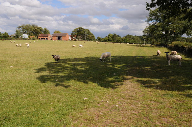
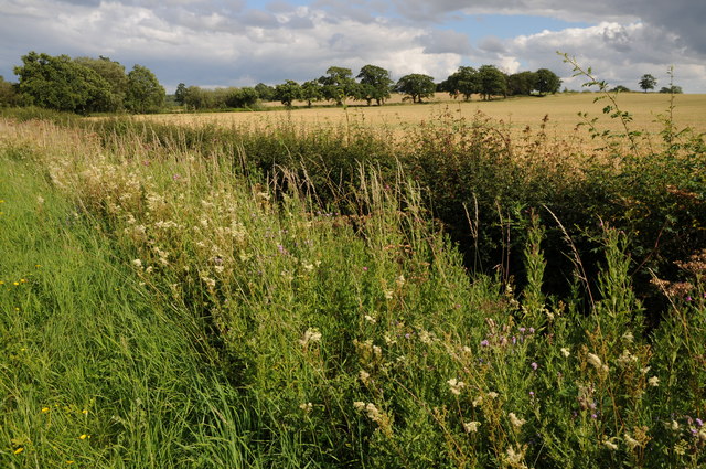
The village is primarily residential, with a population of around 400 residents. It is characterized by its charming rural setting, with rolling hills, green fields, and pockets of woodland surrounding the area. The village is known for its tranquil and peaceful atmosphere, offering a retreat from the hustle and bustle of urban life.

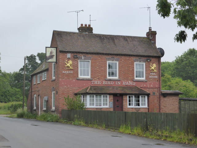
Stock Green benefits from its proximity to nearby amenities and facilities. The village has a local primary school, providing education for the younger residents, and a village hall that serves as a community hub for various events and gatherings. There are also a few small businesses and shops catering to the needs of the local population.

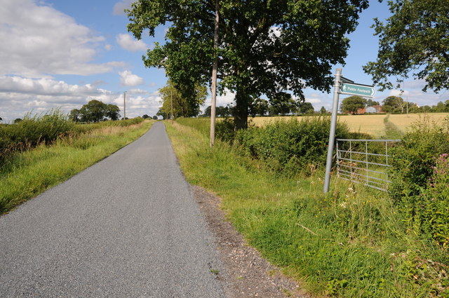
For those seeking outdoor activities, Stock Green offers ample opportunities for walking, cycling, and exploring the beautiful Worcestershire countryside. The nearby Clent Hills, a designated Area of Outstanding Natural Beauty, are a popular destination for outdoor enthusiasts.

Overall, Stock Green is a charming and idyllic village, offering a peaceful and close-knit community for its residents, while also providing easy access to the natural beauty of Worcestershire.

If you have any feedback on the listing, please let us know in the comments section below.
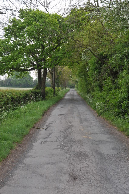
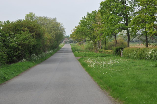
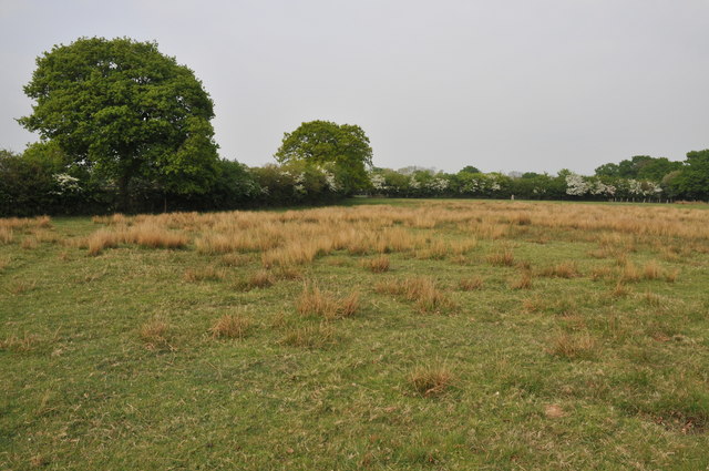
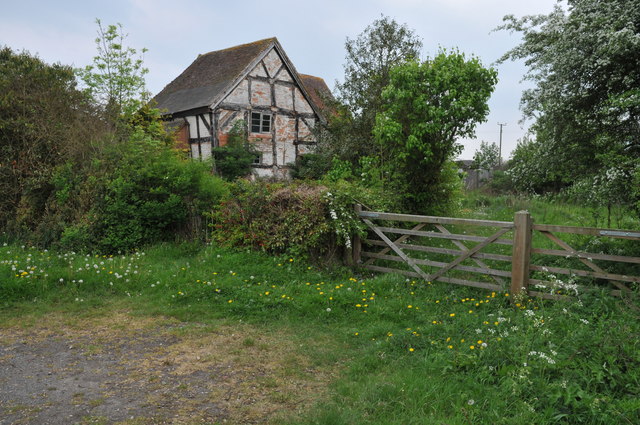
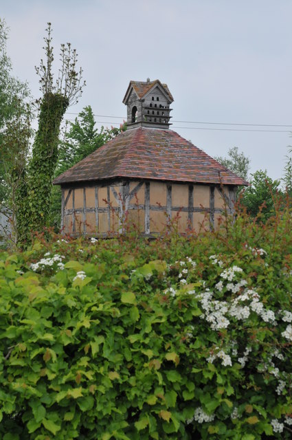
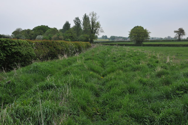
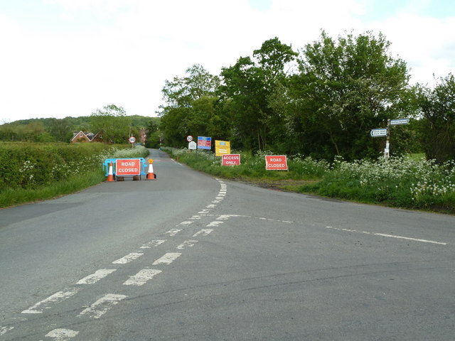
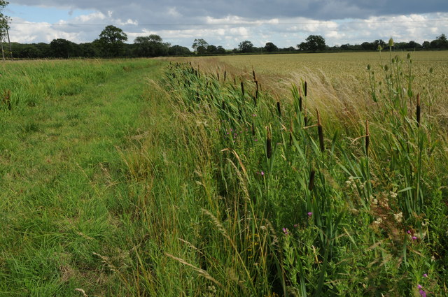
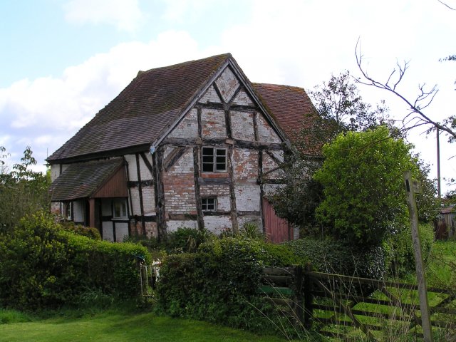
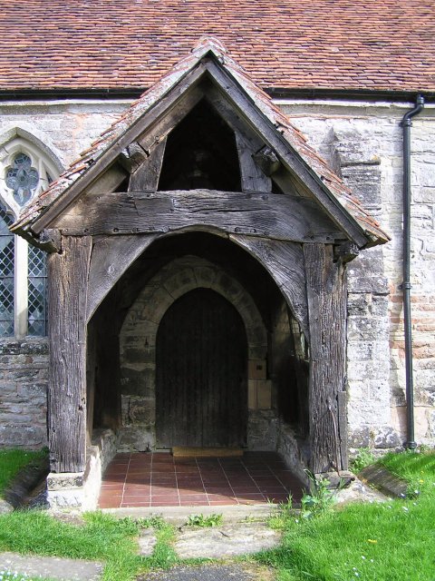
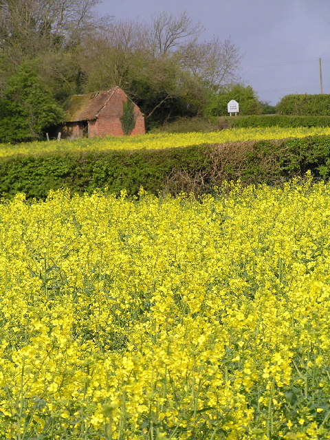
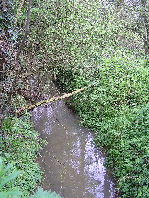
Stock Green Images

Images are sourced within 2km of 52.228264/-2.026322 or Grid Reference SO9858. Thanks to Geograph Open Source API. All images are credited.

Quiet country road Quiet country road near Stock Wood.
Quiet country road
Quiet country road near Stock Wood.
Country road near Stock Green This road approaches a t-junction in a small hamlet which is not named on the OS map.
Country road near Stock Green
This road approaches a t-junction in a small hamlet which is not named on the OS map.
Farmland near Stock Green At present this field is dry however the reeds suggest this field normally lies wet.
Farmland near Stock Green
At present this field is dry however the reeds suggest this field normally lies wet.
Bridleway to Upper Kite's Wood This bridleway passes Upper Kite's Wood and joins the Wychavon Way.
Bridleway to Upper Kite's Wood
This bridleway passes Upper Kite's Wood and joins the Wychavon Way.
Old cottage at Dormston An old cottage in a sorry state beside the road to Dormston
Old cottage at Dormston
An old cottage in a sorry state beside the road to Dormston
Dovecot at Dormston Dovecot viewed from the road in Dormston.
Dovecot at Dormston
Dovecot viewed from the road in Dormston.
Bridleway at Dormston Bridleway from Dormston to Stock Green.
Bridleway at Dormston
Bridleway from Dormston to Stock Green.
The edge of Stock Green A road junction on the edge of Hollow Court but the signs proclaim this to be Stock Green. The road to the right goes to Grafton Flyford and Himbleton. The road ahead was closed for sewer works.
The edge of Stock Green
A road junction on the edge of Hollow Court but the signs proclaim this to be Stock Green. The road to the right goes to Grafton Flyford and Himbleton. The road ahead was closed for sewer works.
Bulrushes beside the Wychavon Way Bulrushes growing in a drainage channel beside a footpath which is marked on the OS map as the Wychavon Way though I believe it may have since been rerouted.
Bulrushes beside the Wychavon Way
Bulrushes growing in a drainage channel beside a footpath which is marked on the OS map as the Wychavon Way though I believe it may have since been rerouted.
Sheep and Hill Top Farm Sheep in a field with Hill Top Farm in the background.
Sheep and Hill Top Farm
Sheep in a field with Hill Top Farm in the background.
Roadside verge near Shell Summer growth on the road verge between Shell and Earl's Common.
Roadside verge near Shell
Summer growth on the road verge between Shell and Earl's Common.
Footpath to Hill Top Farm Two footpaths cross farmland to the right one of which leads to Hill Top Farm.
Footpath to Hill Top Farm
Two footpaths cross farmland to the right one of which leads to Hill Top Farm.
Another closed public house - Stock Green The Bird in Hand is closed but still furnished. It doesn't look like anybody is living there either.
Another closed public house - Stock Green
The Bird in Hand is closed but still furnished. It doesn't look like anybody is living there either.
Old cottage near Dormston.
Door of Dormston Church taken in one of the gaps between frequent showers.
Door of Dormston Church
taken in one of the gaps between frequent showers.
Rape field at Stock Wood Just round the corner is a nice old pub, The Bird in Hand.
Rape field at Stock Wood
Just round the corner is a nice old pub, The Bird in Hand.
little brook at Dormston. Tucked away in the bushes at SO991570 this brook joins up with the Piddle brook near Kington and eventually flows into the Avon.
little brook at Dormston.
Tucked away in the bushes at SO991570 this brook joins up with the Piddle brook near Kington and eventually flows into the Avon.
Rape field at Stock Wood
Show me another place!

Stock Green is located at Grid Ref: SO9858 (Lat: 52.228264, Lng: -2.026322)

Administrative County: Worcestershire

District: Wychavon

Police Authority: West Mercia

What 3 Words

///piles.drew.consults. Near Kington, Worcestershire

Related Wikis

Dormston

Dormston is a village and civil parish in Worcestershire about 3 miles (4.8 km) south of Redditch. == Name == Dormston's toponym has evolved from Deormodesealdtune...

Bradley Green, Worcestershire

Bradley Green is a village in the Wychavon district of Worcestershire, England. It is located just south of the town of Redditch and south of Feckenham...

Grafton Flyford

Grafton Flyford is a village about 6 miles (9.7 km) east of Worcester, in Worcestershire, England. It neighbours Stock Green, with the large farm house...

Little Inkberrow

Little Inkberrow is a village in Worcestershire, England. Ralph Ardern inherited the Worcestershire manor of Little Inkberrow between 1382 (the death...

Earls Common

Earls Common is a village in Worcestershire, England. Villages nearby include Himbleton and Stock Green.

Kington, Worcestershire

Kington is a village in Worcestershire, England, situated near to Flyford Flavell. == History == The earliest known recording of Kington in the Domesday...

Grafton Wood

Grafton Wood is a nature reserve near the village of Grafton Flyford, about 6 miles (9.7 km) east of Worcester, in Worcestershire, England. == Description... ==

Sporting Club Inkberrow F.C.

Sporting Club Inkberrow Football Club is a football club based in Inkberrow, England. They are currently members of the Hellenic League Division One and...

Nearby Amenities

Located within 500m of 52.228264,-2.026322
Stock Green
Place: locality
Source: bing;OS OpenData StreetView
Lat/Long: 52.2273219/-2.0252077
Power: pole
Lat/Long: 52.2302847/-2.020852
Power: pole
Lat/Long: 52.2306091/-2.0221237
Power: pole
Lat/Long: 52.2313866/-2.0240097
Stock Green North
Power: pole
Transformer: distribution
Voltage Primary: 11000
Lat/Long: 52.2312595/-2.0233341
Power: pole
Lat/Long: 52.2310794/-2.0224486
Power: pole
Lat/Long: 52.230129/-2.0217787
Power: pole
Lat/Long: 52.2299035/-2.0225526
Power: pole
Lat/Long: 52.2296624/-2.0234585
Stock Green South
Location Transition: yes
Power: pole
Transformer: distribution
Voltage Primary: 11000
Lat/Long: 52.2290378/-2.0239017
Location Transition: yes
Power: pole
Lat/Long: 52.2283227/-2.0237187
Hollow Court East
Power: pole
Transformer: distribution
Voltage Primary: 11000
Lat/Long: 52.2267233/-2.0257397
Power: pole
Lat/Long: 52.2269344/-2.0248807
Power: pole
Lat/Long: 52.227356/-2.0238756
Power: pole
Lat/Long: 52.2268634/-2.0243872
Power: pole
Lat/Long: 52.2258961/-2.0253119
Power: pole
Lat/Long: 52.2251403/-2.026948
Power: pole
Lat/Long: 52.2244502/-2.0284273
Power: pole
Lat/Long: 52.2322712/-2.0238809
Power: pole
Lat/Long: 52.2318375/-2.0239493
The data included in this document is from www.openstreetmap.org. The data is made available under ODbL.

Have you been to Stock Green?

Leave your review of Stock Green below (or comments, questions and feedback).