Warren Hill
Hill, Mountain in Staffordshire South Staffordshire
England
Warren Hill
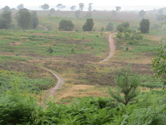
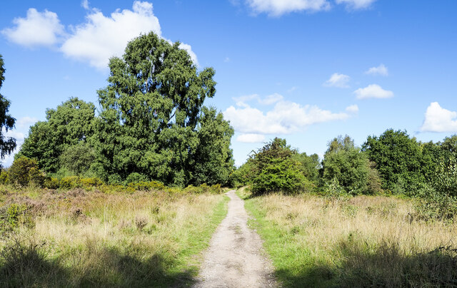
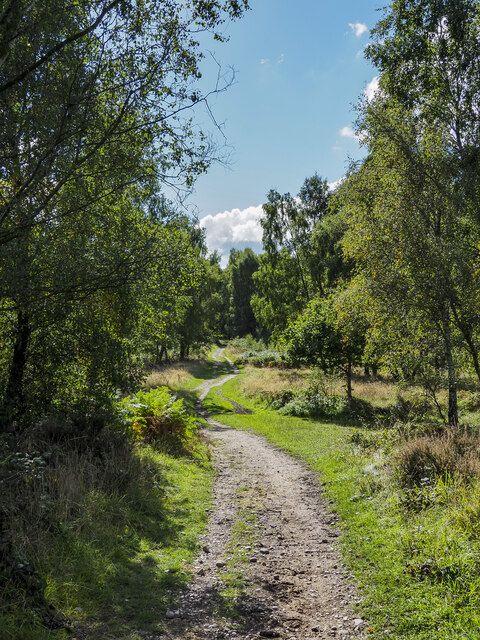
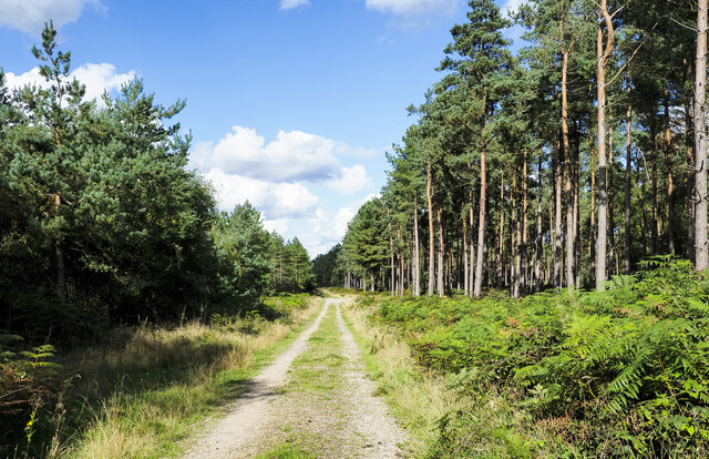
Warren Hill is a prominent geographical feature located in Staffordshire, England. Rising to an elevation of 366 meters (1,201 feet) above sea level, it is classified as a hill rather than a mountain. Situated within the Peak District National Park, Warren Hill offers breathtaking panoramic views of the surrounding countryside, making it a popular destination for outdoor enthusiasts and nature lovers.
The hill is composed mainly of gritstone, a hard and durable rock that has been shaped by erosion over millions of years. Its rugged and undulating terrain attracts hikers, climbers, and mountain bikers, who are drawn to the challenging paths and trails that crisscross the hill.
Warren Hill is also home to a diverse range of flora and fauna, with its slopes supporting a variety of grasses, heather, and wildflowers. The hillside provides a habitat for numerous bird species, including kestrels, peregrine falcons, and buzzards, which can often be spotted soaring above the hill.
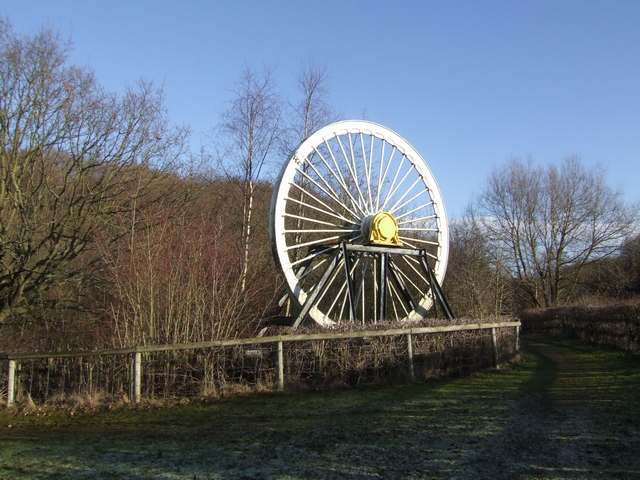
In addition to its natural beauty, Warren Hill holds historical significance. The area has evidence of human activity dating back thousands of years, with archaeological discoveries indicating that it was once home to Bronze Age settlements. Furthermore, the hill played a role in the Industrial Revolution, as it was a site of limestone quarrying and lead mining.
Overall, Warren Hill offers a captivating blend of natural splendor, recreational opportunities, and historical importance. Whether visitors are seeking challenging hikes, stunning vistas, or a glimpse into the region's past, this Staffordshire landmark has something to offer for everyone.
If you have any feedback on the listing, please let us know in the comments section below.
Warren Hill Images
Images are sourced within 2km of 52.739626/-2.0349866 or Grid Reference SJ9715. Thanks to Geograph Open Source API. All images are credited.
Warren Hill is located at Grid Ref: SJ9715 (Lat: 52.739626, Lng: -2.0349866)
Administrative County: Staffordshire
District: South Staffordshire
Police Authority: Staffordshire
What 3 Words
///reclaimed.school.warns. Near Cannock, Staffordshire
Nearby Locations
Related Wikis

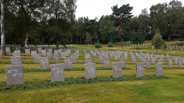
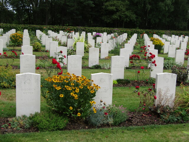
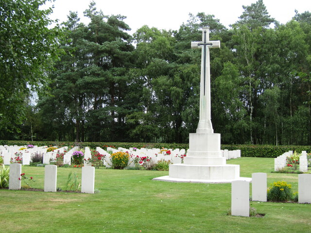
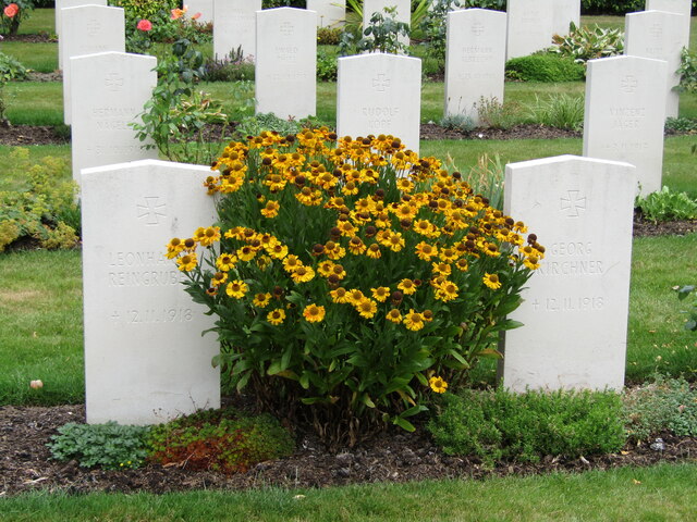
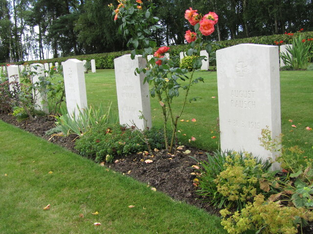
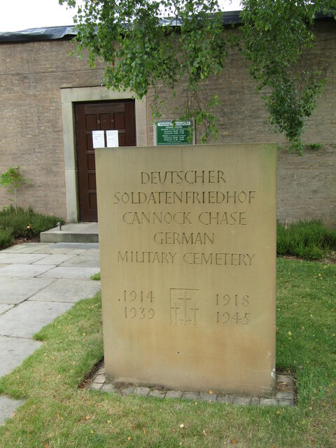
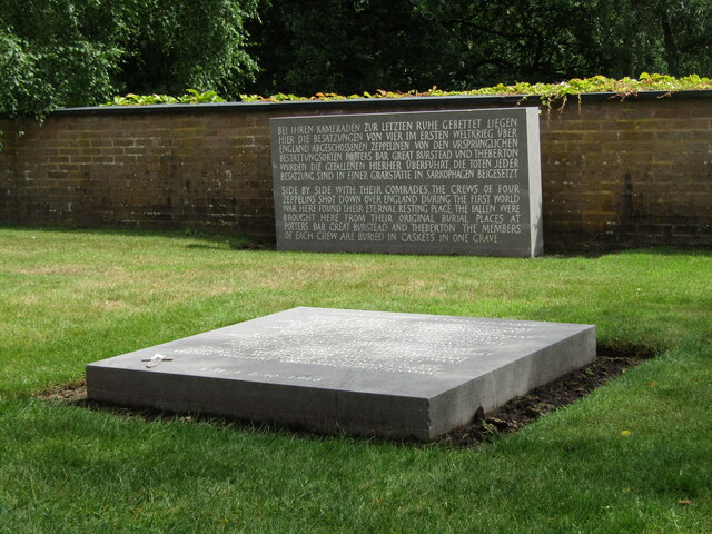
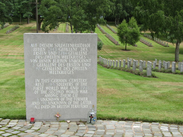
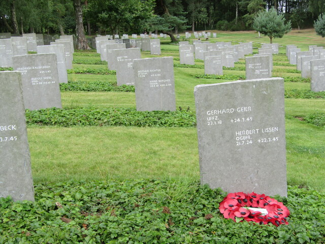
Cannock Chase German Military Cemetery
The Cannock Chase German Military Cemetery (grid reference SJ984157) is on Cannock Chase, Staffordshire, England. The cemetery contains nearly 5,000 burials...

Pye Green BT Tower
Pye Green BT Tower is a 96.9-metre (318 ft) tall telecommunication tower built of reinforced concrete at Pye Green, Staffordshire, England (grid reference...

Brindley Heath
Brindley Heath is an area of heath land on Cannock Chase situated between Hednesford and Rugeley in the Cannock Chase District of Staffordshire, England...

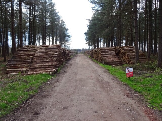
Cannock Chase
Cannock Chase (grid reference SK000165), often referred to locally as The Chase, is a mixed area of countryside in the county of Staffordshire, England...

Bednall
Bednall is a village in Staffordshire, England. == Location == Bednall lies somewhat remote from main roads, in dairy-farming countryside some 2.5 miles...
Huntington, Staffordshire
Huntington is a civil parish and former mining village in Staffordshire, on the outskirts of Cannock Chase. It lies on the A34 road just north of Cannock...
Pye Green
Pye Green is part of Hednesford, Staffordshire, England, running from Chadsmoor and Hednesford, across the Pye Green valley and to the edge of The Chase...
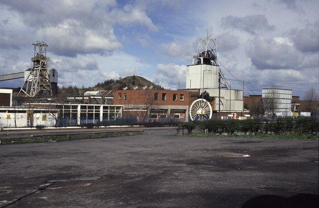
Littleton Colliery
Littleton Colliery was a deep coal mine situated two miles north of Cannock on the A34 in the village of Huntington. The colliery closed on 3 December...
Have you been to Warren Hill?
Leave your review of Warren Hill below (or comments, questions and feedback).