Deer Slade
Valley in Staffordshire South Staffordshire
England
Deer Slade
Deer Slade is a small village located in the Staffordshire Moorlands district of Staffordshire, England. Situated in a picturesque valley, it is surrounded by rolling hills and lush green countryside, making it a haven for nature lovers and outdoor enthusiasts. The village is part of the Staffordshire Moorlands National Park, which ensures its preservation and protection.
With a population of around 500 residents, Deer Slade retains its rural charm and tranquility. It is known for its close-knit community, where neighbors value their strong bonds and support for one another. Despite its small size, the village boasts a range of amenities, including a local pub, a village hall, and a primary school, catering to the needs of its residents.
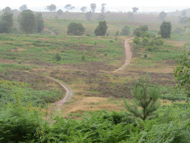
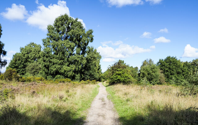
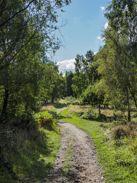
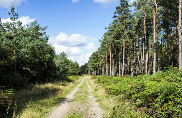
The countryside surrounding Deer Slade offers ample opportunities for outdoor activities such as hiking, cycling, and horse riding. The village is also home to several picturesque walking trails, which showcase the stunning natural beauty of the area. One notable feature is the nearby Deer Slade Reservoir, which provides a peaceful spot for fishing and birdwatching.
Deer Slade is well-connected to the nearby towns of Leek and Stoke-on-Trent, ensuring that residents have access to a wider range of amenities and services. The village also benefits from its proximity to the Peak District National Park, which is only a short drive away, offering even more opportunities for outdoor adventures.
Overall, Deer Slade, Staffordshire, is a charming village nestled in a beautiful valley, providing a peaceful and idyllic setting for residents and visitors alike.
If you have any feedback on the listing, please let us know in the comments section below.
Deer Slade Images
Images are sourced within 2km of 52.73807/-2.0377253 or Grid Reference SJ9715. Thanks to Geograph Open Source API. All images are credited.
Deer Slade is located at Grid Ref: SJ9715 (Lat: 52.73807, Lng: -2.0377253)
Administrative County: Staffordshire
District: South Staffordshire
Police Authority: Staffordshire
What 3 Words
///unusable.hiding.purified. Near Cannock, Staffordshire
Related Wikis

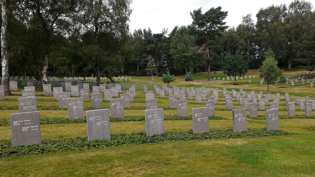
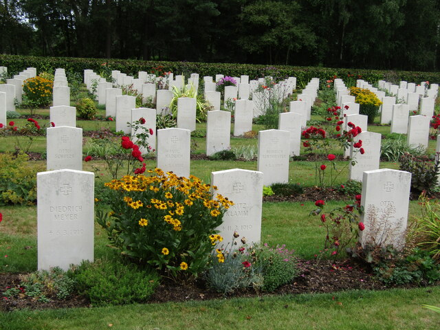
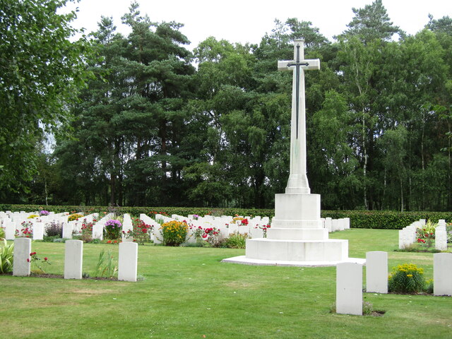
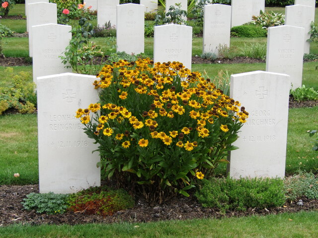
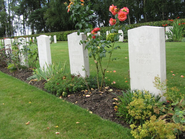
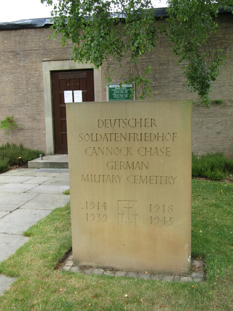
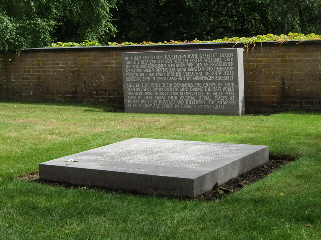
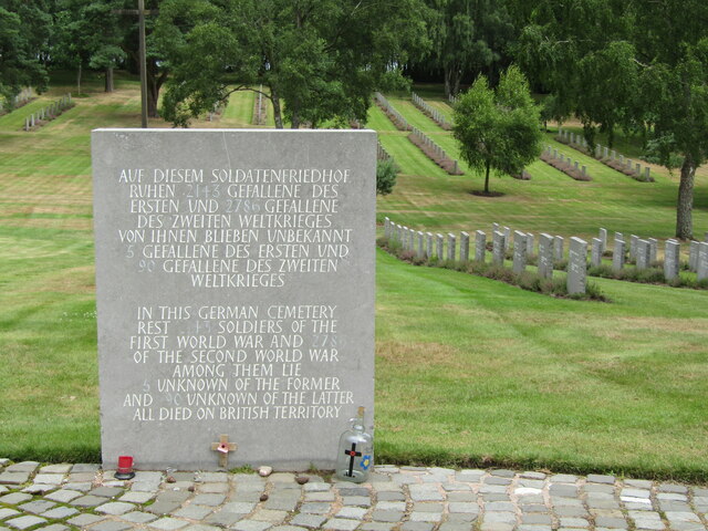
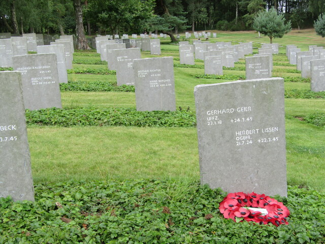
Cannock Chase German Military Cemetery
The Cannock Chase German Military Cemetery (grid reference SJ984157) is on Cannock Chase, Staffordshire, England. The cemetery contains nearly 5,000 burials...

Pye Green BT Tower
Pye Green BT Tower is a 96.9-metre (318 ft) tall telecommunication tower built of reinforced concrete at Pye Green, Staffordshire, England (grid reference...

Brindley Heath
Brindley Heath is an area of heath land on Cannock Chase situated between Hednesford and Rugeley in the Cannock Chase District of Staffordshire, England...

Bednall
Bednall is a village in Staffordshire, England. == Location == Bednall lies somewhat remote from main roads, in dairy-farming countryside some 2.5 miles...
Huntington, Staffordshire
Huntington is a civil parish and former mining village in Staffordshire, on the outskirts of Cannock Chase. It lies on the A34 road just north of Cannock...

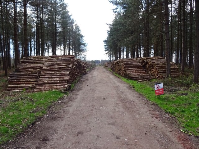
Cannock Chase
Cannock Chase (grid reference SK000165), often referred to locally as The Chase, is a mixed area of countryside in the county of Staffordshire, England...
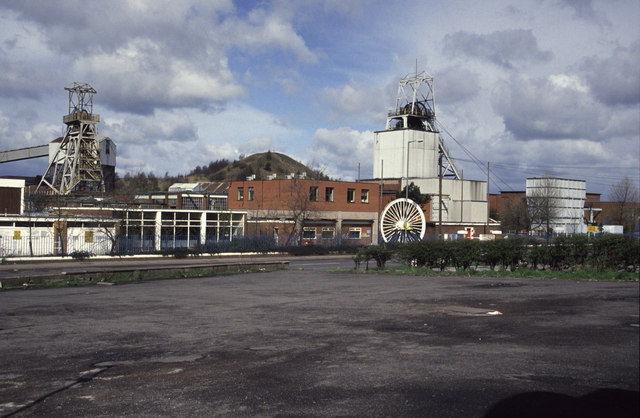
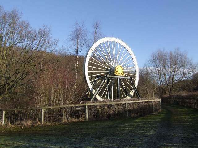
Littleton Colliery
Littleton Colliery was a deep coal mine situated two miles north of Cannock on the A34 in the village of Huntington. The colliery closed on 3 December...
Pye Green
Pye Green is part of Hednesford, Staffordshire, England, running from Chadsmoor and Hednesford, across the Pye Green valley and to the edge of The Chase...
Related Videos

Teddesley Lock to Gypsey Green Staffordshire Walking Tolkien's Real Shire Narrated Marie Ascot
Marie Ascot A walk through Tolkien's Real Shire from Teddesley Lock to Gypsey Green Staffordshire. This was an hour's walk with ...

Sherbrook Valley & the Rag at Rawnsley. #travel #motorhome #travel_vlog #adventuresB4Dementia
A walk down memory lane for Sue as we walk through Sherbrook valley on Cannock Chase. Sue has fond memories of family ...

BEAUTIFUL Cannock Chase Walk (With The Ravengirl) #vanlife
I decide to go on a beautiful Cannock Chase walk (officially called Cannock Chase Area of Natural Beauty) to show the Ravengirl ...

Have you been to Deer Slade?
Leave your review of Deer Slade below (or comments, questions and feedback).