Round Hill

Hill, Mountain in Durham

England

Round Hill

Moor House beside B6278 Moor House is a small, deserted property beside the B6278 south of Stanhope. Scurfield House is partly hidden by the right hand tree.
Moor House beside B6278 Credit: Trevor Littlewood

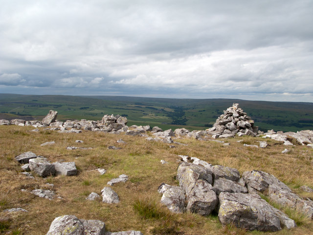
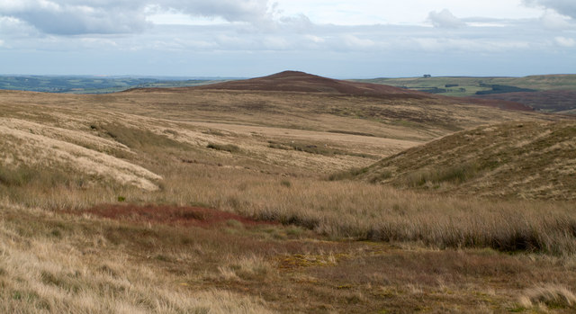
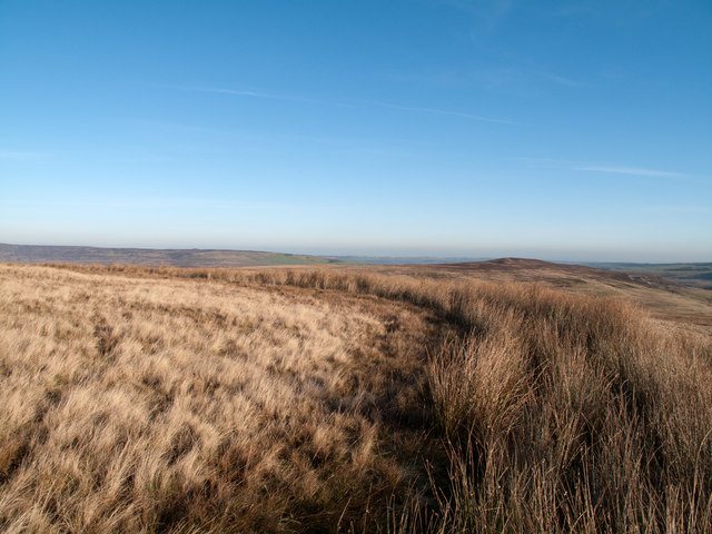
Round Hill is a prominent geographical feature located in Durham, a historic city in the northeast of England. As the name suggests, it is a rounded hill that forms part of the larger Durham Valley landscape. With an elevation of approximately 200 meters, it offers stunning panoramic views of the surrounding countryside.

Situated just a couple of miles southwest of the city center, Round Hill is easily accessible and attracts both locals and visitors alike. The hill is covered in lush greenery, with a mix of grassy slopes and scattered trees, providing a peaceful and picturesque setting. It is a popular spot for walking, picnicking, and enjoying the outdoors.

The summit of Round Hill provides breathtaking vistas of Durham Cathedral, a UNESCO World Heritage site, and the River Wear winding through the valley. On a clear day, one can see as far as the distant Cheviot Hills in Northumberland.

With its close proximity to the city, Round Hill offers a welcome respite from the urban hustle and bustle. It provides a tranquil escape where visitors can connect with nature and appreciate the beauty of the Durham landscape. The hill is also home to a variety of wildlife, including birds, rabbits, and sometimes even deer.

Overall, Round Hill in Durham is a natural gem that showcases the region's stunning scenery and offers a peaceful retreat for those seeking a break from city life.

If you have any feedback on the listing, please let us know in the comments section below.
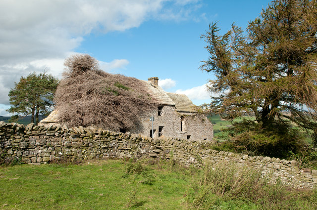
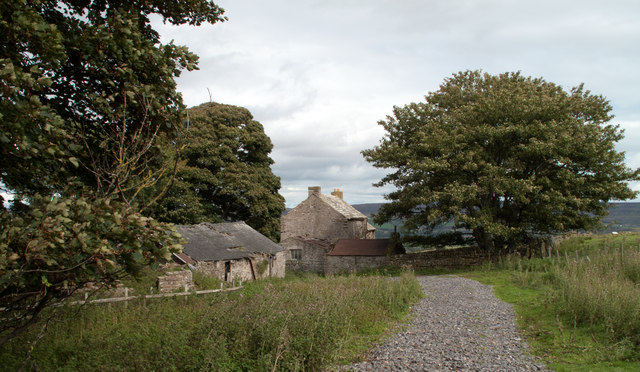
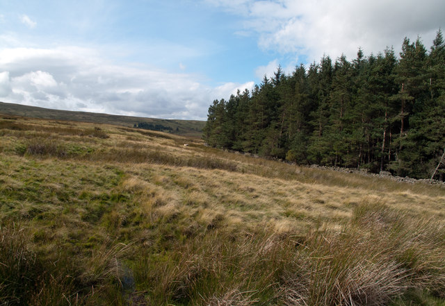
Round Hill Images

Images are sourced within 2km of 54.7256/-2.0367658 or Grid Reference NY9736. Thanks to Geograph Open Source API. All images are credited.

Moor House beside B6278 Moor House is a small, deserted property beside the B6278 south of Stanhope. Scurfield House is partly hidden by the right hand tree.
Moor House beside B6278
Moor House is a small, deserted property beside the B6278 south of Stanhope. Scurfield House is partly hidden by the right hand tree.
Cairn and rocks at Bollihope Carrs The ridge reaching Carrs Top between the Wear Valley and Bollihope is almost entirely grassy but at Bollihope Carrs there's an extensive if low rock outcrop with angular boulders exposed at the crest; some smaller rocks have been gathered to form a cairn. The distant view is to the north side of Weardale with the side valley of Rook Hope, tree lined and seen to the left of the cairn.
Cairn and rocks at Bollihope Carrs
The ridge reaching Carrs Top between the Wear Valley and Bollihope is almost entirely grassy but at Bollihope Carrs there's an extensive if low rock outcrop with angular boulders exposed at the crest; some smaller rocks have been gathered to form a cairn. The distant view is to the north side of Weardale with the side valley of Rook Hope, tree lined and seen to the left of the cairn.
Archaeological dig north of Bollihope Burn A group led from Newcastle University had excavated what was thought to be a seventeenth century dwelling or possibly an old mine shop on the west side of an enclosure north of Bollihope Burn. When the image was recorded the digging out had been completed; the on-going activity was to re-cover what had been exposed and to reinstate the site. Beyond the dig site grassy slopes rise to the north-west and the ridge leading to Carrs Top.
Archaeological dig north of Bollihope Burn
A group led from Newcastle University had excavated what was thought to be a seventeenth century dwelling or possibly an old mine shop on the west side of an enclosure north of Bollihope Burn. When the image was recorded the digging out had been completed; the on-going activity was to re-cover what had been exposed and to reinstate the site. Beyond the dig site grassy slopes rise to the north-west and the ridge leading to Carrs Top.
Aller Gill House Aller Gill House lies on the south side of the River Wear and north of the minor road there.
Aller Gill House
Aller Gill House lies on the south side of the River Wear and north of the minor road there.
Birkshaw Birkshaw is one of an number of old farmsteads in the vicinity which have been abandoned or at least are deserted. Another abandoned feature seen here is a public footpath: below the centre of the image the through stones of a stile can be seen in the wall, and above them a notice attached to a pole. The notice tells that a path heading east from Birkshaw is not useable due to quarrying; this is odd! This notice and others were erected just a few years ago and yet the quarrying operation ended many decades ago, possibly in the 1940s.
Birkshaw
Birkshaw is one of an number of old farmsteads in the vicinity which have been abandoned or at least are deserted. Another abandoned feature seen here is a public footpath: below the centre of the image the through stones of a stile can be seen in the wall, and above them a notice attached to a pole. The notice tells that a path heading east from Birkshaw is not useable due to quarrying; this is odd! This notice and others were erected just a few years ago and yet the quarrying operation ended many decades ago, possibly in the 1940s.
Snape Gate Horsley Burn is a tributary stream to the River Wear flowing north-east to join it west of Stanhope. Enclosures rise on the south side of the burn eventually giving way to grassy moorland; among the enclosures on that slope there's a surprising number of old farmsteads no longer in use. Some of the buildings are now ruins others merely abandoned; Snape Gate is one of that last group.
Snape Gate
Horsley Burn is a tributary stream to the River Wear flowing north-east to join it west of Stanhope. Enclosures rise on the south side of the burn eventually giving way to grassy moorland; among the enclosures on that slope there's a surprising number of old farmsteads no longer in use. Some of the buildings are now ruins others merely abandoned; Snape Gate is one of that last group.
Snapegate Plantation The southern side of Snapegate Plantation is seen in this image where it abuts on to grassy moorland rising (leftwards) towards the ridge of Carrs Top.
Snapegate Plantation
The southern side of Snapegate Plantation is seen in this image where it abuts on to grassy moorland rising (leftwards) towards the ridge of Carrs Top.
Feeding stream of Jopla Sike The 'bruised line' of a quad bike route descends from Carrs Top over Turfhill End and from there has this view through one of the shallow feeding streams of Jopla Sike. The heather covered hill in the distance is Catterick, looking uncharacteristically shapely in this view.
Feeding stream of Jopla Sike
The 'bruised line' of a quad bike route descends from Carrs Top over Turfhill End and from there has this view through one of the shallow feeding streams of Jopla Sike. The heather covered hill in the distance is Catterick, looking uncharacteristically shapely in this view.
Frozen pool south of Scot Hill West from Catterick - the County Durham hill not the Yorkshire garrison town -  lies Scot Hill which is in view immediately beyond the pool - the merest disturbance of a contour line! In the distance is Collier Law on the north side of the Wear Valley.
Frozen pool south of Scot Hill
West from Catterick - the County Durham hill not the Yorkshire garrison town - lies Scot Hill which is in view immediately beyond the pool - the merest disturbance of a contour line! In the distance is Collier Law on the north side of the Wear Valley.
A 'Watter Rord' east of Carr's Top Once when walking in the area east of Carr's Top between the Bollihope Burn and Weardale, there was shepherding activity and coming upon a farmer we were asked to avoid disturbance by keeping to the 'watter rord' - the water road - meaning a water cut or leet around the slope of the hill; this is not that cut but another. The purpose of these leets was two fold; to intercept streams draining down hill and to transport their water to another location for use. In this part of County Durham that would almost certainly be in the metal mining industry.
A 'Watter Rord' east of Carr's Top
Once when walking in the area east of Carr's Top between the Bollihope Burn and Weardale, there was shepherding activity and coming upon a farmer we were asked to avoid disturbance by keeping to the 'watter rord' - the water road - meaning a water cut or leet around the slope of the hill; this is not that cut but another. The purpose of these leets was two fold; to intercept streams draining down hill and to transport their water to another location for use. In this part of County Durham that would almost certainly be in the metal mining industry.
Bollihope quarry, disused
Moorland
Moorland
Upland view, Newlandside quarry in the distance
Disused quarries by Bollihope Burn
Bollihope Shield lead mines (disused)
The B6278 road to Stanhope winding up Bridget Hill
Newlandside quarry
Newlandside quarry
Bollihope Burn Looking downstream along the burn which flows into the Wear a few miles east of here.
Bollihope Burn
Looking downstream along the burn which flows into the Wear a few miles east of here.
Show me another place!

Round Hill is located at Grid Ref: NY9736 (Lat: 54.7256, Lng: -2.0367658)

Unitary Authority: County Durham

Police Authority: Durham

What 3 Words

///elders.scrapping.buns. Near Stanhope, Co. Durham

Nearby Locations

Round Hill

Related Wikis

West Newlandside Meadows

West Newlandside Meadows is a Site of Special Scientific Interest in the Wear Valley district of County Durham, England. It lies 3 km south-west of the...
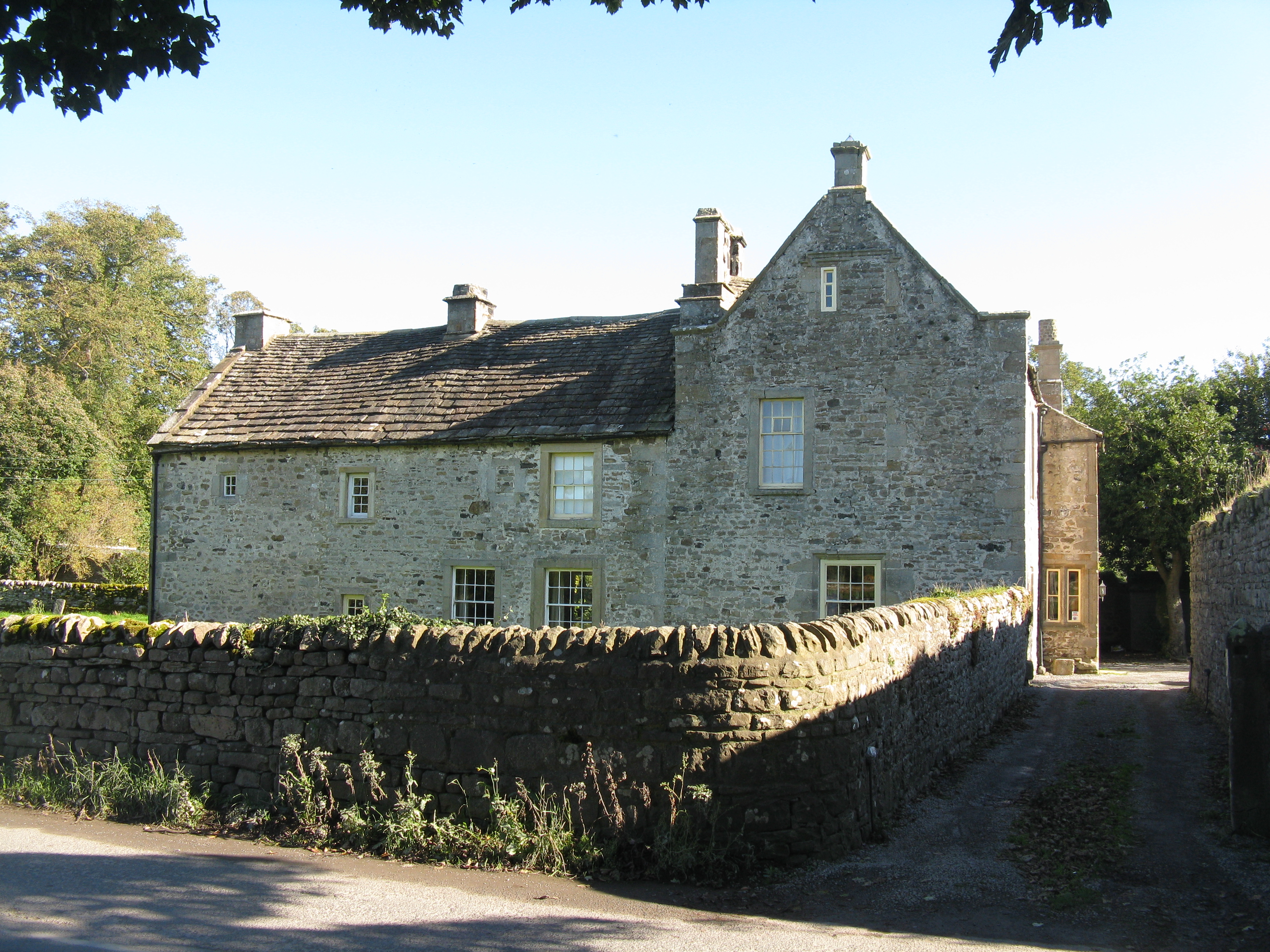
Horsley Hall

Horsley Hall is a 17th-century country house, now in use as a hotel, near Stanhope, County Durham, England. It is a Grade II listed building. The manor...

Unthank, Stanhope

Unthank is a collection of houses in the civil parish of Stanhope, in County Durham, England. Unthank can be found just over Stanhope Ford and at the bottom...

Greenfoot Quarry

Greenfoot Quarry is a Site of Special Scientific Interest in the Wear Valley district of west County Durham, England. It is a disused quarry, situated...

Nearby Amenities

Located within 500m of 54.7256,-2.0367658
Barrier: entrance
Lat/Long: 54.7295296/-2.0334283
The data included in this document is from www.openstreetmap.org. The data is made available under ODbL.

Have you been to Round Hill?

Leave your review of Round Hill below (or comments, questions and feedback).