Round Hill

Hill, Mountain in Northumberland

England

Round Hill

Field entrance and footpath near the Rope Barn
Field entrance and footpath near the Rope Barn Credit: JThomas

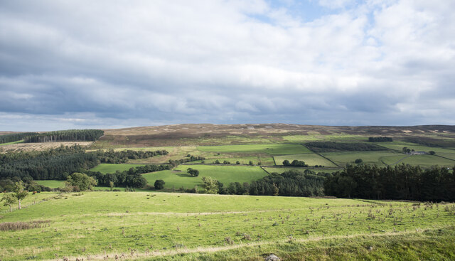
Round Hill is a prominent hill located in the county of Northumberland, England. Situated in the northern part of the county, it forms part of the stunning Cheviot Hills range, which stretches across the border between England and Scotland.

With an elevation of 454 meters (1,490 feet) above sea level, Round Hill is the highest point in Northumberland, offering breathtaking panoramic views of the surrounding countryside. The hill is characterized by its rounded shape, hence its name, and is covered in heather and grass, giving it a picturesque appearance throughout the year.

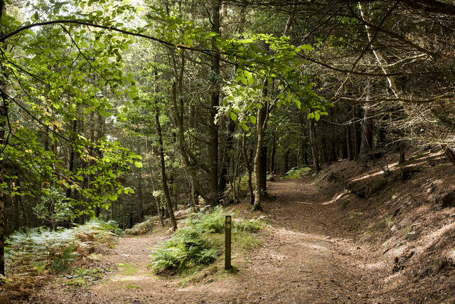
Round Hill is a popular destination among hikers, nature enthusiasts, and outdoor adventurers. Its location within the Northumberland National Park provides visitors with a multitude of walking trails and paths to explore, ranging from gentle strolls to more challenging hikes. The hill's summit provides a fantastic vantage point, allowing visitors to admire the vast expanse of the national park, as well as distant views of the Scottish Borders.

The area surrounding Round Hill is teeming with wildlife, including various bird species, such as grouse and curlews, and smaller mammals like rabbits and hares. The hill's remote location also ensures an undisturbed habitat for rare and protected plants and flowers.

Given its accessibility and natural beauty, Round Hill is a popular destination for nature lovers seeking tranquility, stunning views, and the opportunity to immerse themselves in the natural wonders of Northumberland.

If you have any feedback on the listing, please let us know in the comments section below.
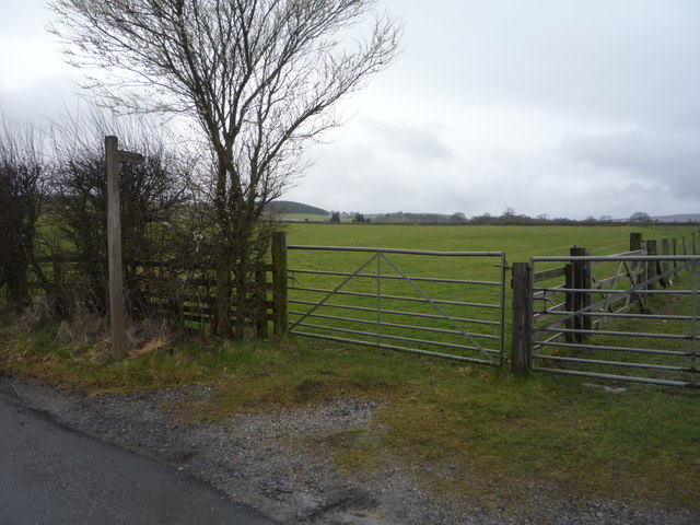
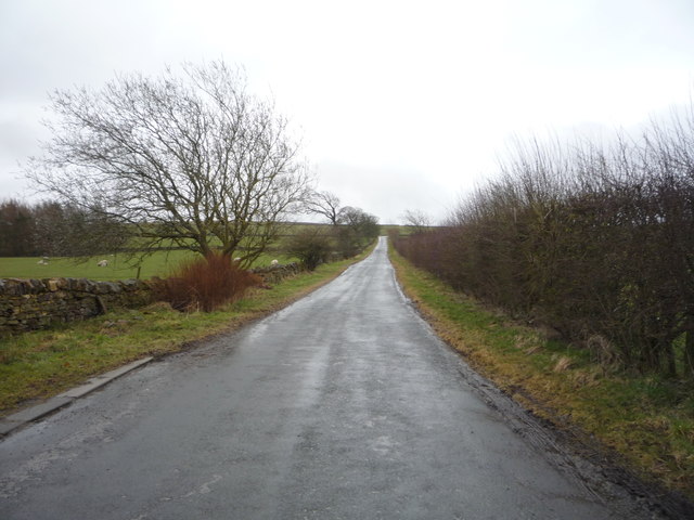
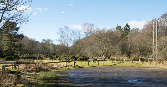
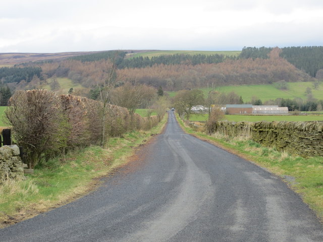
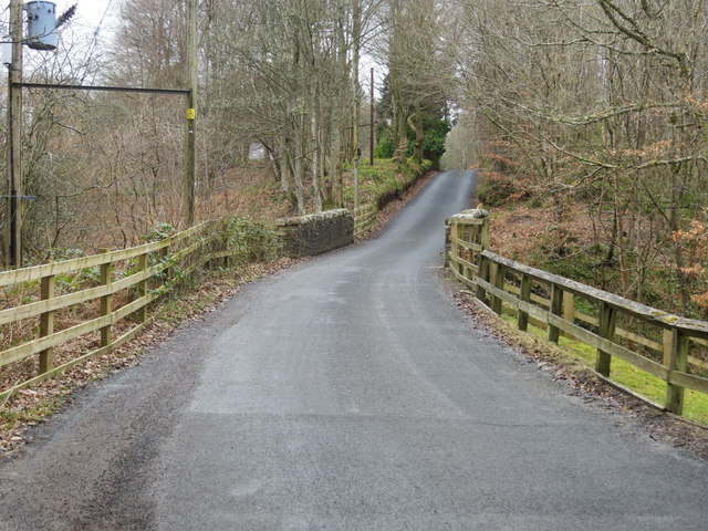
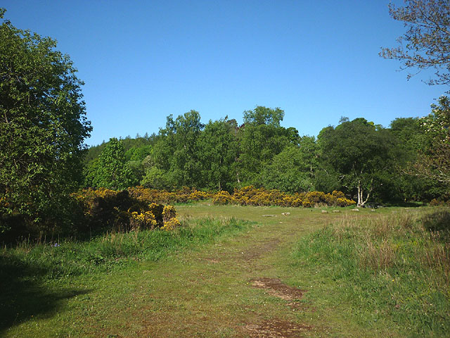
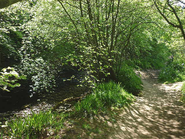
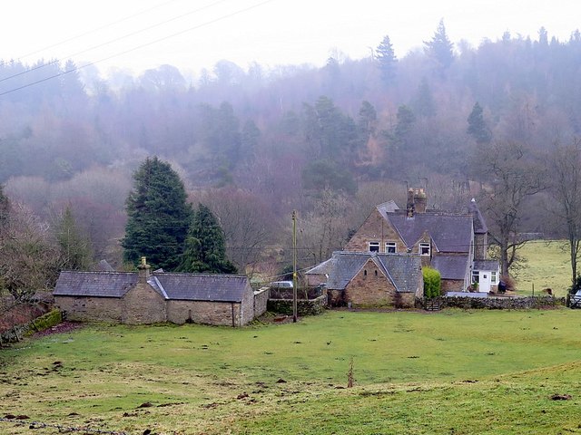
Round Hill Images

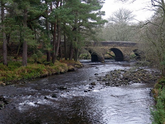
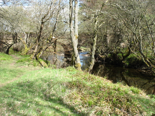
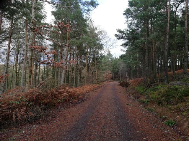
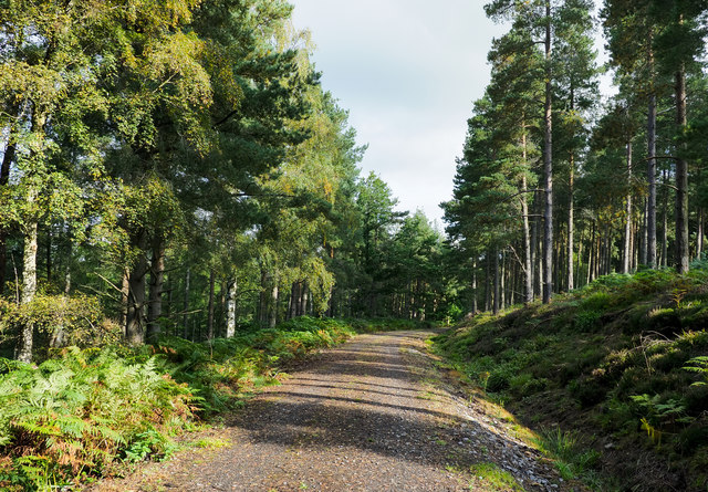
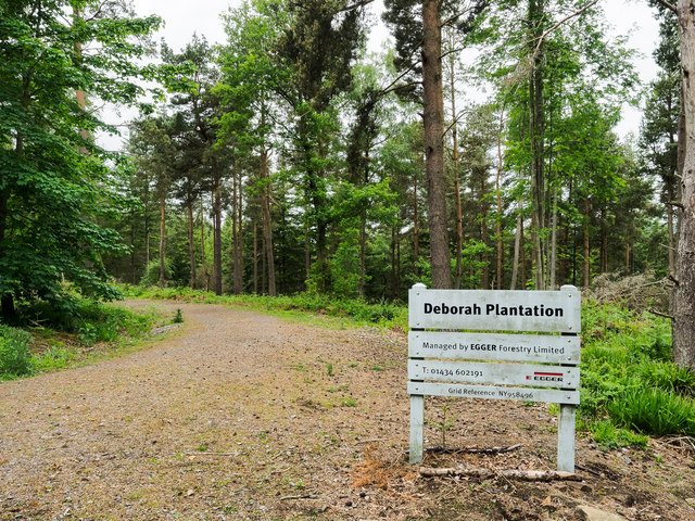
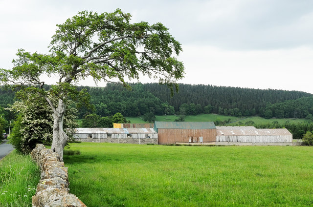
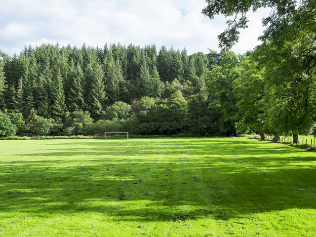
Images are sourced within 2km of 54.850482/-2.0441845 or Grid Reference NY9750. Thanks to Geograph Open Source API. All images are credited.

Field entrance and footpath near the Rope Barn
Minor road towards Allenshields Looking south near the Rope Barn.
Minor road towards Allenshields
Looking south near the Rope Barn.
Grazing near the Rope Barn
Car park at Baybridge Baybridge is just in Northumberland  being on the north side of the River Derwent which forms the boundary between that county and County Durham. When first established the car park had a one way system - in one way and out the other, but now there's just one access from the public road.
Car park at Baybridge
Baybridge is just in Northumberland being on the north side of the River Derwent which forms the boundary between that county and County Durham. When first established the car park had a one way system - in one way and out the other, but now there's just one access from the public road.
Road to Rope Barn and Bridge End Looking northward.
Road to Rope Barn and Bridge End
Looking northward.
Road and Bridge crossing Bolts Burn near Low Garden House Looking south-westward.
Road and Bridge crossing Bolts Burn near Low Garden House
Looking south-westward.
Picnic area, Baybridge In woodland beside the Derwent.
Picnic area, Baybridge
In woodland beside the Derwent.
Footpath beside the Derwent Heading towards Bay Bridge.
Footpath beside the Derwent
Heading towards Bay Bridge.
Kennels & cottages near Baybridge The map shows that the main building is divided between Rock Cottage and Rose Cottage.
Kennels & cottages near Baybridge
The map shows that the main building is divided between Rock Cottage and Rose Cottage.
Bay Bridge Three arched road bridge over the River Derwent connecting Hunstanworth and Stanhope in County Durham with the hamlet of Bay Bridge in Northumberland. It was probably built about 1829.
Bay Bridge
Three arched road bridge over the River Derwent connecting Hunstanworth and Stanhope in County Durham with the hamlet of Bay Bridge in Northumberland. It was probably built about 1829.
Bridge over the River Derwent
Forestry track in Boltsburn Plantation
Forest road in Deborah Plantation Deborah Plantation exists as ribbons of trees on both the east and west sides of Bolt's Burn; this road is on the east side and the view here is to the north.
Forest road in Deborah Plantation
Deborah Plantation exists as ribbons of trees on both the east and west sides of Bolt's Burn; this road is on the east side and the view here is to the north.
Access road into Deborah Plantation Access to the public footpath which follows the forest road into Deborah Plantation is from a minor road named as Bale Hill on OS maps at the largest scale. The same level of mapping uses the names Old Park Plantation and Boltsburn Plantation for the northern and central sections of the woodland, with Deborah, used for the southern end. The owners / managers, clearly prefer to use just one name.
Access road into Deborah Plantation
Access to the public footpath which follows the forest road into Deborah Plantation is from a minor road named as Bale Hill on OS maps at the largest scale. The same level of mapping uses the names Old Park Plantation and Boltsburn Plantation for the northern and central sections of the woodland, with Deborah, used for the southern end. The owners / managers, clearly prefer to use just one name.
Variety of barns at Rope Barn Rope Barn is the name of the farm whose buildings are in view; the farmhouse is hidden by the trees along the wall line.
Variety of barns at Rope Barn
Rope Barn is the name of the farm whose buildings are in view; the farmhouse is hidden by the trees along the wall line.
Tree shadows across playing field The field is equipped with goalposts but surely sees other uses than football; it lies just to the west of the village of Blanchland.
Tree shadows across playing field
The field is equipped with goalposts but surely sees other uses than football; it lies just to the west of the village of Blanchland.
Path junction in High Banks Plantation A path has descended from the B6306 to fork at this location in woodland close to Blanchland. The image was made a little over ten years after an earlier one of the same scene: little has changed! <a title="https://www.geograph.org.uk/photo/2475487" href="https://www.geograph.org.uk/photo/2475487">Link</a>
Path junction in High Banks Plantation
A path has descended from the B6306 to fork at this location in woodland close to Blanchland. The image was made a little over ten years after an earlier one of the same scene: little has changed! Link
Field on east side of B6306 The field descends towards the River Derwent south-west of the Derwent Reservoir.
The ground beyond the valley rises to the moorland of Bainbridge Hill and Ruffside Moor.
Field on east side of B6306
The field descends towards the River Derwent south-west of the Derwent Reservoir. The ground beyond the valley rises to the moorland of Bainbridge Hill and Ruffside Moor.
Show me another place!

Round Hill is located at Grid Ref: NY9750 (Lat: 54.850482, Lng: -2.0441845)

Unitary Authority: Northumberland

Police Authority: Northumbria

What 3 Words

///flickers.widest.tilt. Near Slaley, Northumberland

Related Wikis

Blanchland

Blanchland is a village in Northumberland, England, on the County Durham boundary. The population of the civil parish at the 2011 census was 135.Set beside...

Blanchland Abbey

Blanchland Abbey at Blanchland, in the English county of Northumberland, was founded as a premonstratensian priory in 1165 by Walter de Bolbec II, and...

Baybridge, Northumberland

Baybridge is a small village in Northumberland, England, just to the west of Blanchland and on the border with County Durham. It is situated to the west...

Hunstanworth

Hunstanworth is a village in County Durham, England. It is situated approximately 10 miles to the west of Consett, south-west of the village of Blanchland...

Have you been to Round Hill?

Leave your review of Round Hill below (or comments, questions and feedback).