Low Birks Plantation

Wood, Forest in Northumberland

England

Low Birks Plantation

Field entrance and footpath near the Rope Barn
Field entrance and footpath near the Rope Barn Credit: JThomas

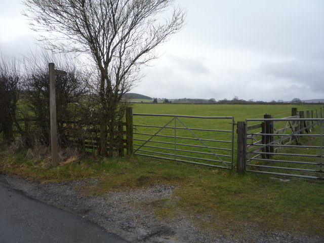
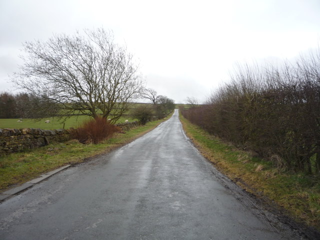
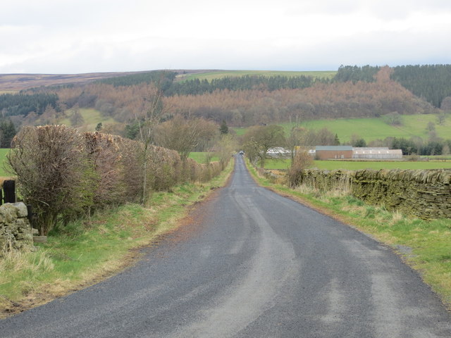
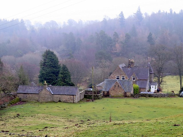
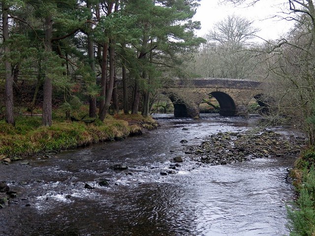
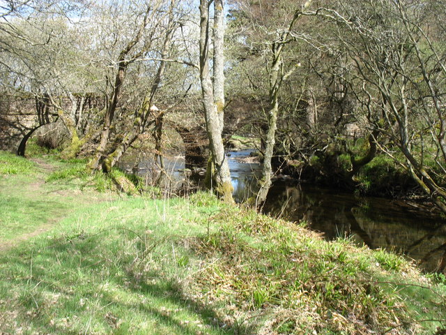
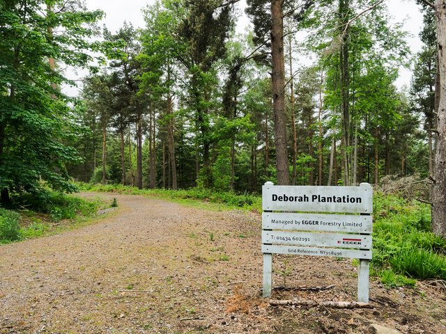
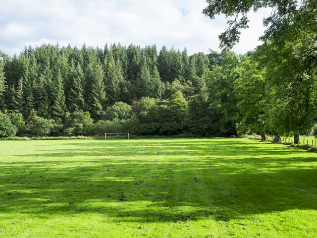
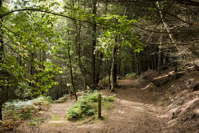
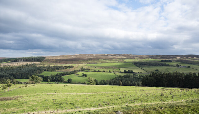
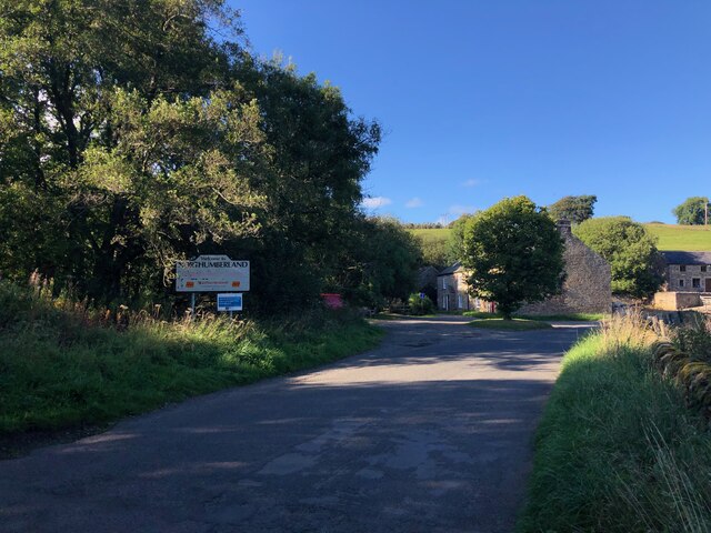
Low Birks Plantation is a picturesque woodland located in Northumberland, England. Stretching across several acres, it is known for its diverse range of tree species, making it a haven for nature enthusiasts and hikers alike. The plantation is situated in the heart of the countryside, offering a tranquil escape from the hustle and bustle of city life.

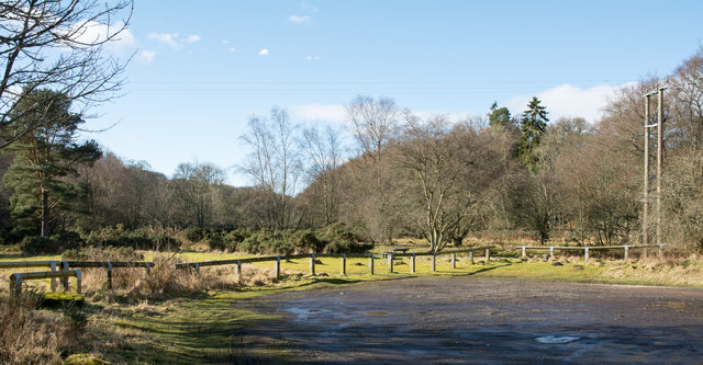
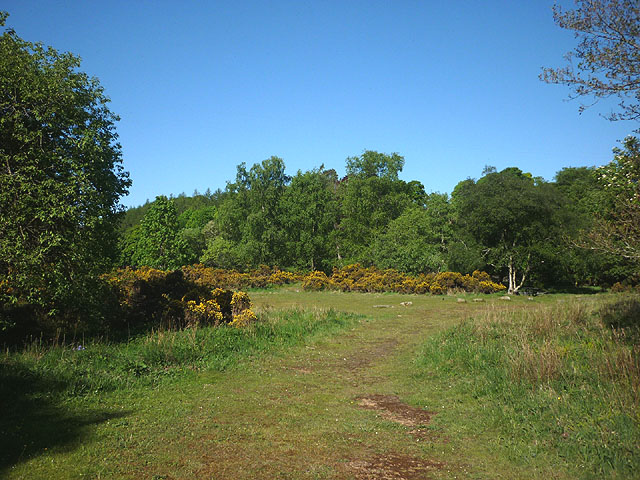
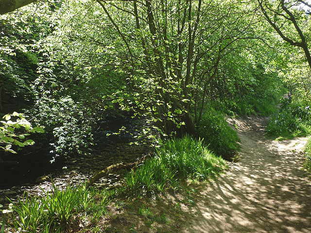
The woodland is characterized by its dense canopy of trees, including oak, beech, and pine, which create a rich and varied ecosystem. These towering trees provide shelter for an array of wildlife, such as birds, squirrels, and deer. The forest floor is adorned with a carpet of wildflowers, ferns, and moss, adding to the natural beauty of the area.

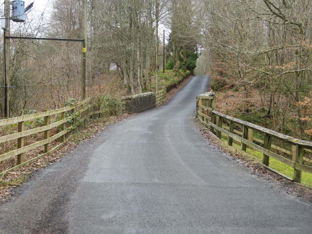
Visitors to Low Birks Plantation can explore a network of well-maintained trails that meander through the woodland, offering breathtaking views and opportunities for bird watching and nature photography. The paths are suitable for all levels of fitness, with options for leisurely strolls or more challenging hikes.

In addition to its natural beauty, Low Birks Plantation also has historical significance. The area was once part of a larger estate, and remnants of the old estate walls and structures can still be seen, adding an element of intrigue to the woodland experience.

Overall, Low Birks Plantation in Northumberland is a captivating and enchanting destination for those seeking solace in nature. Its diverse flora and fauna, coupled with its scenic trails, provide an immersive experience for visitors of all ages and interests.

If you have any feedback on the listing, please let us know in the comments section below.

Low Birks Plantation Images

Images are sourced within 2km of 54.85255/-2.042785 or Grid Reference NY9750. Thanks to Geograph Open Source API. All images are credited.

Field entrance and footpath near the Rope Barn
Minor road towards Allenshields Looking south near the Rope Barn.
Minor road towards Allenshields
Looking south near the Rope Barn.
Grazing near the Rope Barn
Car park at Baybridge Baybridge is just in Northumberland  being on the north side of the River Derwent which forms the boundary between that county and County Durham. When first established the car park had a one way system - in one way and out the other, but now there's just one access from the public road.
Car park at Baybridge
Baybridge is just in Northumberland being on the north side of the River Derwent which forms the boundary between that county and County Durham. When first established the car park had a one way system - in one way and out the other, but now there's just one access from the public road.
Road to Rope Barn and Bridge End Looking northward.
Road to Rope Barn and Bridge End
Looking northward.
Road and Bridge crossing Bolts Burn near Low Garden House Looking south-westward.
Road and Bridge crossing Bolts Burn near Low Garden House
Looking south-westward.
Picnic area, Baybridge In woodland beside the Derwent.
Picnic area, Baybridge
In woodland beside the Derwent.
Footpath beside the Derwent Heading towards Bay Bridge.
Footpath beside the Derwent
Heading towards Bay Bridge.
Kennels & cottages near Baybridge The map shows that the main building is divided between Rock Cottage and Rose Cottage.
Kennels & cottages near Baybridge
The map shows that the main building is divided between Rock Cottage and Rose Cottage.
Bay Bridge Three arched road bridge over the River Derwent connecting Hunstanworth and Stanhope in County Durham with the hamlet of Bay Bridge in Northumberland. It was probably built about 1829.
Bay Bridge
Three arched road bridge over the River Derwent connecting Hunstanworth and Stanhope in County Durham with the hamlet of Bay Bridge in Northumberland. It was probably built about 1829.
Bridge over the River Derwent
Access road into Deborah Plantation Access to the public footpath which follows the forest road into Deborah Plantation is from a minor road named as Bale Hill on OS maps at the largest scale. The same level of mapping uses the names Old Park Plantation and Boltsburn Plantation for the northern and central sections of the woodland, with Deborah, used for the southern end. The owners / managers, clearly prefer to use just one name.
Access road into Deborah Plantation
Access to the public footpath which follows the forest road into Deborah Plantation is from a minor road named as Bale Hill on OS maps at the largest scale. The same level of mapping uses the names Old Park Plantation and Boltsburn Plantation for the northern and central sections of the woodland, with Deborah, used for the southern end. The owners / managers, clearly prefer to use just one name.
Variety of barns at Rope Barn Rope Barn is the name of the farm whose buildings are in view; the farmhouse is hidden by the trees along the wall line.
Variety of barns at Rope Barn
Rope Barn is the name of the farm whose buildings are in view; the farmhouse is hidden by the trees along the wall line.
Tree shadows across playing field The field is equipped with goalposts but surely sees other uses than football; it lies just to the west of the village of Blanchland.
Tree shadows across playing field
The field is equipped with goalposts but surely sees other uses than football; it lies just to the west of the village of Blanchland.
Path junction in High Banks Plantation A path has descended from the B6306 to fork at this location in woodland close to Blanchland. The image was made a little over ten years after an earlier one of the same scene: little has changed! <a title="https://www.geograph.org.uk/photo/2475487" href="https://www.geograph.org.uk/photo/2475487">Link</a>
Path junction in High Banks Plantation
A path has descended from the B6306 to fork at this location in woodland close to Blanchland. The image was made a little over ten years after an earlier one of the same scene: little has changed! Link
Field on east side of B6306 The field descends towards the River Derwent south-west of the Derwent Reservoir.
The ground beyond the valley rises to the moorland of Bainbridge Hill and Ruffside Moor.
Field on east side of B6306
The field descends towards the River Derwent south-west of the Derwent Reservoir. The ground beyond the valley rises to the moorland of Bainbridge Hill and Ruffside Moor.
The Square, Blanchland Classic view of Blanchland on a late summer day. The village square is packed with listed buildings - linked here is the Abbey Gatehouse and Post Office - the castellated building in the centre of the picture. <span class="nowrap"><a title="https://historicengland.org.uk/listing/the-list/list-entry/1153918" rel="nofollow ugc noopener" href="https://historicengland.org.uk/listing/the-list/list-entry/1153918">Link</a><img style="margin-left:2px;" alt="External link" title="External link - shift click to open in new window" src="https://s1.geograph.org.uk/img/external.png" width="10" height="10"/></span>
The Square, Blanchland
Classic view of Blanchland on a late summer day. The village square is packed with listed buildings - linked here is the Abbey Gatehouse and Post Office - the castellated building in the centre of the picture. LinkExternal link
Approaching Baybridge About to cross the Durham - Northumberland county border from the South. The main building in the picture situated behind an isolated tree, is the former Miners' Arms. This is a Grade II listed building and the scene of a riot between Cornish and local lead miners in 1866. Full details of this building on the linked Historic England website <span class="nowrap"><a title="https://historicengland.org.uk/listing/the-list/list-entry/1045410" rel="nofollow ugc noopener" href="https://historicengland.org.uk/listing/the-list/list-entry/1045410">Link</a><img style="margin-left:2px;" alt="External link" title="External link - shift click to open in new window" src="https://s1.geograph.org.uk/img/external.png" width="10" height="10"/></span>
Approaching Baybridge
About to cross the Durham - Northumberland county border from the South. The main building in the picture situated behind an isolated tree, is the former Miners' Arms. This is a Grade II listed building and the scene of a riot between Cornish and local lead miners in 1866. Full details of this building on the linked Historic England website LinkExternal link
Show me another place!

Low Birks Plantation is located at Grid Ref: NY9750 (Lat: 54.85255, Lng: -2.042785)

Unitary Authority: Northumberland

Police Authority: Northumbria

What 3 Words

///furniture.maximum.commented. Near Slaley, Northumberland

Related Wikis

Blanchland Abbey

Blanchland Abbey at Blanchland, in the English county of Northumberland, was founded as a premonstratensian priory in 1165 by Walter de Bolbec II, and...

Blanchland

Blanchland is a village in Northumberland, England, on the County Durham boundary. The population of the civil parish at the 2011 census was 135.Set beside...

Baybridge, Northumberland

Baybridge is a small village in Northumberland, England, just to the west of Blanchland and on the border with County Durham. It is situated to the west...

Hunstanworth

Hunstanworth is a village in County Durham, England. It is situated approximately 10 miles to the west of Consett, south-west of the village of Blanchland...

Nearby Amenities

Located within 500m of 54.85255,-2.042785
The data included in this document is from www.openstreetmap.org. The data is made available under ODbL.

Have you been to Low Birks Plantation?

Leave your review of Low Birks Plantation below (or comments, questions and feedback).