Outgang Hill

Hill, Mountain in Yorkshire Craven

England

Outgang Hill

Mastiles Lane dropping towards Kilnsey Mastiles Lane was the subject of some controversy when the number of off-road vehicles using it was starting to have an adverse impact. Although it is still marked as a Byway Open to All Traffic on the map, it doesn't seem to remain so for its full length, and even where it is so marked, further west, there is a definite "all motor vehicles prohibited sign", so I was unsurprised not to meet the sort of continuous procession of trail bikes and four-wheel-drive enthusiasts that one meets on a number of other BOATs in the National Park. Indeed, on an eight mile walk on a breezy day in January, there was one mountain biker and two walkers, apart from myself (and dog). The lane itself continues towards Kilnsey, but the small gate on the right gives onto a public footpath down towards the road junction leading to Coniston bridge - a better parking spot than a village in these times of infectious disease.
Mastiles Lane dropping towards Kilnsey Credit: Andy Waddington

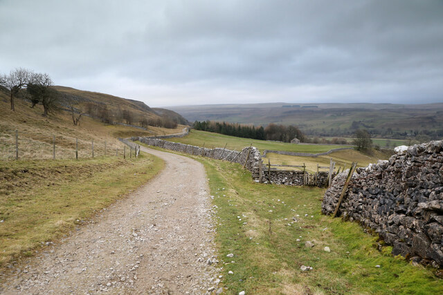
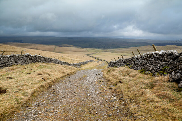
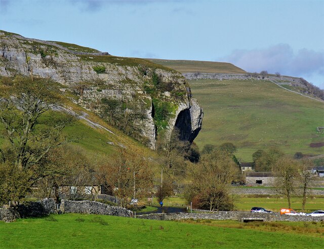
Outgang Hill is a prominent geographical feature located in the county of Yorkshire, England. Situated in the North York Moors National Park, it forms part of the stunning landscape that characterizes this region. Rising to a height of approximately 324 meters (1,063 feet) above sea level, Outgang Hill is classified as a hill rather than a mountain.

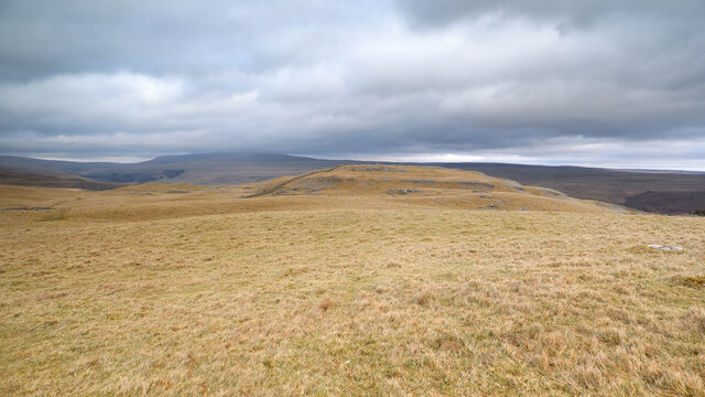
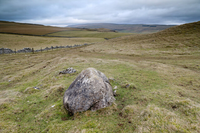
The hill is composed primarily of sandstone, which gives it a distinct reddish hue, particularly noticeable during sunrise and sunset. Its slopes are covered in a patchwork of heather moorland, interspersed with scattered trees and shrubs, lending the area a picturesque and serene ambiance. This rich vegetation provides a habitat for a diverse range of flora and fauna, including various species of birds and small mammals.

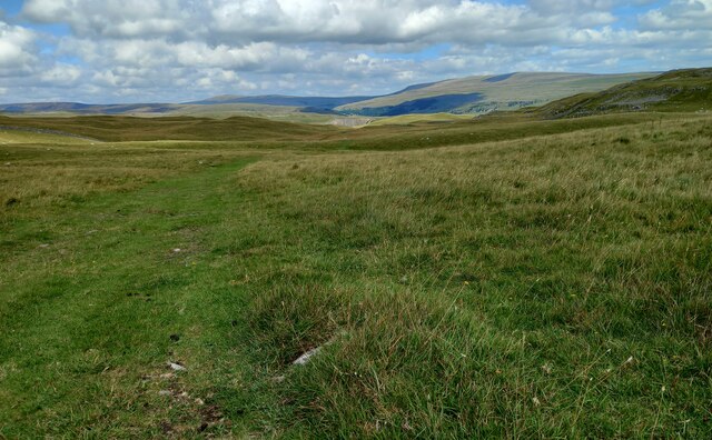
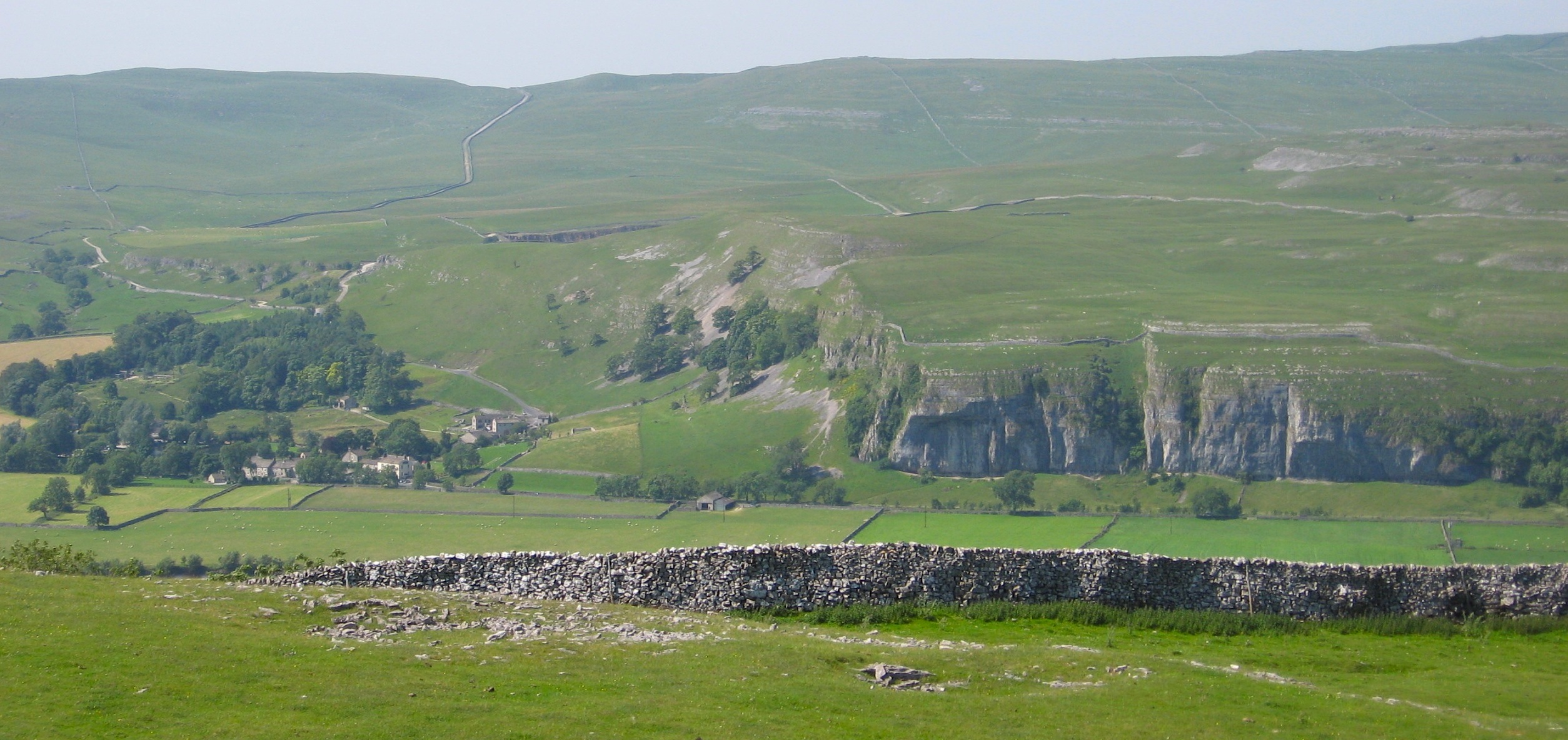
Outgang Hill is a popular destination for outdoor enthusiasts and nature lovers alike. It offers numerous walking trails and paths, allowing visitors to explore its scenic surroundings and enjoy breathtaking views of the surrounding countryside. On a clear day, the hill provides a vantage point from which one can see the expansive moorland, rolling hills, and distant valleys.

In addition to its natural beauty, Outgang Hill also holds historical significance. It is believed to have been an important landmark for ancient settlers, serving as a navigational point or a defensive position. As a result, archaeological remains such as burial mounds and stone circles have been discovered in the vicinity.

Overall, Outgang Hill is a captivating and historically significant hill in Yorkshire, offering visitors an opportunity to immerse themselves in the natural beauty and rich heritage of the region.

If you have any feedback on the listing, please let us know in the comments section below.
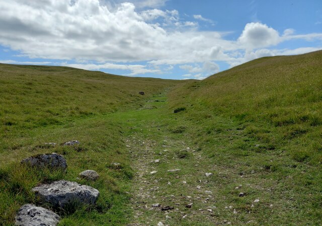
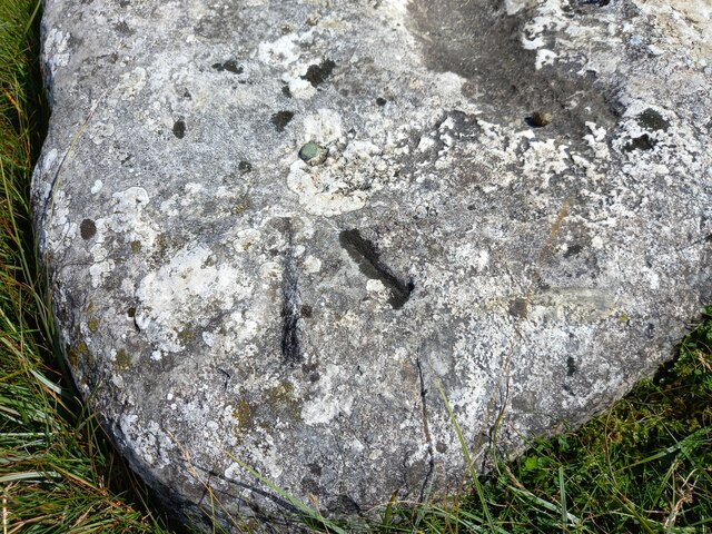
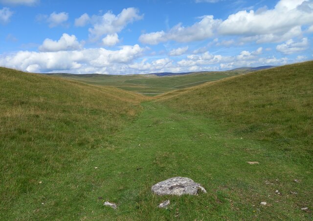
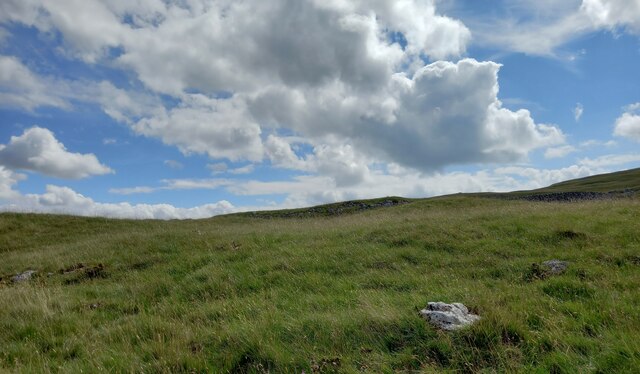
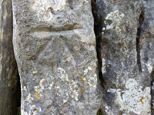
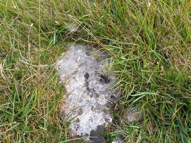
Outgang Hill Images

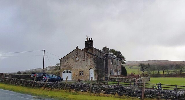
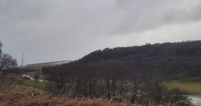
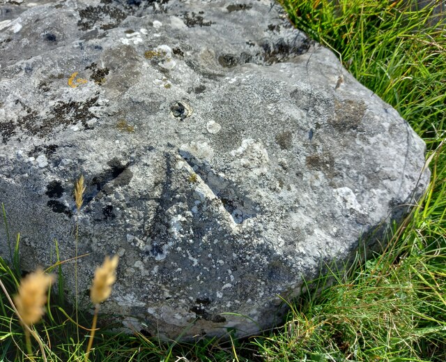
Images are sourced within 2km of 54.097629/-2.0434369 or Grid Reference SD9766. Thanks to Geograph Open Source API. All images are credited.

Mastiles Lane dropping towards Kilnsey Mastiles Lane was the subject of some controversy when the number of off-road vehicles using it was starting to have an adverse impact. Although it is still marked as a Byway Open to All Traffic on the map, it doesn't seem to remain so for its full length, and even where it is so marked, further west, there is a definite "all motor vehicles prohibited sign", so I was unsurprised not to meet the sort of continuous procession of trail bikes and four-wheel-drive enthusiasts that one meets on a number of other BOATs in the National Park. Indeed, on an eight mile walk on a breezy day in January, there was one mountain biker and two walkers, apart from myself (and dog). The lane itself continues towards Kilnsey, but the small gate on the right gives onto a public footpath down towards the road junction leading to Coniston bridge - a better parking spot than a village in these times of infectious disease.
Mastiles Lane dropping towards Kilnsey
Mastiles Lane was the subject of some controversy when the number of off-road vehicles using it was starting to have an adverse impact. Although it is still marked as a Byway Open to All Traffic on the map, it doesn't seem to remain so for its full length, and even where it is so marked, further west, there is a definite "all motor vehicles prohibited sign", so I was unsurprised not to meet the sort of continuous procession of trail bikes and four-wheel-drive enthusiasts that one meets on a number of other BOATs in the National Park. Indeed, on an eight mile walk on a breezy day in January, there was one mountain biker and two walkers, apart from myself (and dog). The lane itself continues towards Kilnsey, but the small gate on the right gives onto a public footpath down towards the road junction leading to Coniston bridge - a better parking spot than a village in these times of infectious disease.
Mastiles Lane heading for Wharfedale From the great publicity that once attended the supposed degradation of this "green lane" by overusage of motor vehicles, I had expected something a great deal softer and grassier underfoot than this well-compacted hard track. I was already beginning to feel that wellies had been an unnecessary choice for such a route march with barely enough puddles to keep the dog hydrated. The edge of the grid square is just shy of the 423m high point of the lane as it passes over a col on Holgates Kilnsey Moor, so the view looks back on almost the sum total of the ascent.
Mastiles Lane heading for Wharfedale
From the great publicity that once attended the supposed degradation of this "green lane" by overusage of motor vehicles, I had expected something a great deal softer and grassier underfoot than this well-compacted hard track. I was already beginning to feel that wellies had been an unnecessary choice for such a route march with barely enough puddles to keep the dog hydrated. The edge of the grid square is just shy of the 423m high point of the lane as it passes over a col on Holgates Kilnsey Moor, so the view looks back on almost the sum total of the ascent.
Limestone Knoll on Malham Moor The public bridleway from Malham Moor Lane towards Mastiles Lane passes to the west of this limestone knoll which has a marked antiquity on the map, a "Homestead", smaller than a "Settlement" and perilously close to the edge of Threshfield Quarry, which is just over the horizon on the right of the photograph and has removed a huge chunk of the reef knoll. Further away, the cloud is just enveloping the top of Great Whernside beyond Wharfedale in the increasingly bitter westerly wind.
Limestone Knoll on Malham Moor
The public bridleway from Malham Moor Lane towards Mastiles Lane passes to the west of this limestone knoll which has a marked antiquity on the map, a "Homestead", smaller than a "Settlement" and perilously close to the edge of Threshfield Quarry, which is just over the horizon on the right of the photograph and has removed a huge chunk of the reef knoll. Further away, the cloud is just enveloping the top of Great Whernside beyond Wharfedale in the increasingly bitter westerly wind.
Descending from Green Haw Hill From Malham Moor Lane, the bridleway passes west of Green Haw Hill and descends to the shallow valley followed by Mastiles lane on its way to Kilnsey. A fence replaces the disintegrating drystone wall on the left but will no doubt prove to be a much more ephemeral presence on the fellside, both rotting and rusting unlike the limestone which fits much better into the landscape.
Descending from Green Haw Hill
From Malham Moor Lane, the bridleway passes west of Green Haw Hill and descends to the shallow valley followed by Mastiles lane on its way to Kilnsey. A fence replaces the disintegrating drystone wall on the left but will no doubt prove to be a much more ephemeral presence on the fellside, both rotting and rusting unlike the limestone which fits much better into the landscape.
Chapel House Lodge
Chapel House Lodge
Wharfedale near Kirk Bank
Junction near Kilnsey
Farmhouse at North Cote
Kilnsey Crag
Kilnsey Crag
Kilnsey, Green Haw Hill The rivet benchmark is cut into a rock on the east side of the bridleway.
Kilnsey, Green Haw Hill
The rivet benchmark is cut into a rock on the east side of the bridleway.
Kilnsey, Green Haw Hill There is a rivet benchmark cut into a rock on the east side of the bridleway.
Kilnsey, Green Haw Hill
There is a rivet benchmark cut into a rock on the east side of the bridleway.
Kilnsey, Green Haw Hill The rivet benchmark cut into a large rock is in the centre of the bridleway track.
Kilnsey, Green Haw Hill
The rivet benchmark cut into a large rock is in the centre of the bridleway track.
Kilnsey, Green Haw Hill There is a rivet benchmark cut into the large rock in the centre of the bridleway track.
Kilnsey, Green Haw Hill
There is a rivet benchmark cut into the large rock in the centre of the bridleway track.
Kilnsey, Malham Moor According to the OS benchmark database there was a rivet benchmark cut into a rock on the east side of the bridleway. Various prominent rocks were cleared of grass tufts, but nothing was found.
Kilnsey, Malham Moor
According to the OS benchmark database there was a rivet benchmark cut into a rock on the east side of the bridleway. Various prominent rocks were cleared of grass tufts, but nothing was found.
Kilnsey, Malham Moor gatepost The benchmark is cut into a stone gatepost on the east side of the bridleway.
Kilnsey, Malham Moor gatepost
The benchmark is cut into a stone gatepost on the east side of the bridleway.
Kilnsey, Malham Moor gatepost There is a benchmark cut into the stone gatepost on the east side of the bridleway.
Kilnsey, Malham Moor gatepost
There is a benchmark cut into the stone gatepost on the east side of the bridleway.
Kilnsey, Malham Moor The rivet benchmark is cut into a rock on the east side of the bridleway.
Kilnsey, Malham Moor
The rivet benchmark is cut into a rock on the east side of the bridleway.
Kilnsey, Malham Moor There is a rivet benchmark cut into the rock on the east side of the bridleway.
Kilnsey, Malham Moor
There is a rivet benchmark cut into the rock on the east side of the bridleway.
Show me another place!

Outgang Hill is located at Grid Ref: SD9766 (Lat: 54.097629, Lng: -2.0434369)

Division: West Riding

Administrative County: North Yorkshire

District: Craven

Police Authority: North Yorkshire

What 3 Words

///proved.pocketed.chucked. Near Grassington, North Yorkshire

Related Wikis

Kilnsey

Kilnsey is a small village in Wharfedale, North Yorkshire, England. It lies on the B6160 road, between the villages of Grassington and Kettlewell, near...

Conistone

Conistone is a small village in the Craven district of North Yorkshire, England. It lies 3 miles (5 km) north of Grassington, 3 miles (5 km) south of Kettlewell...

Conistone with Kilnsey

Conistone with Kilnsey is a civil parish in Wharfedale in the district of Craven, North Yorkshire, England. It contains the villages of Kilnsey and Conistone...

St Mary's Church, Conistone

St Mary's Church is in the village of Conistone, North Yorkshire, England. It is an active Anglican parish church in the deanery of Skipton, the archdeaconry...

Nearby Amenities

Located within 500m of 54.097629,-2.0434369
Outgang Hill
Natural: peak
Source: OS 1851
Lat/Long: 54.0978177/-2.0434842
Natural: spring
Source: OS 1:25k
Lat/Long: 54.09445/-2.0383939
Outgang
Place: locality
Source: OS 1853
Lat/Long: 54.096355/-2.0451946
Power: pole
Lat/Long: 54.0977724/-2.0360273
Power: pole
Lat/Long: 54.0985446/-2.0361829
Power: pole
Lat/Long: 54.099265/-2.036317
The data included in this document is from www.openstreetmap.org. The data is made available under ODbL.

Have you been to Outgang Hill?

Leave your review of Outgang Hill below (or comments, questions and feedback).