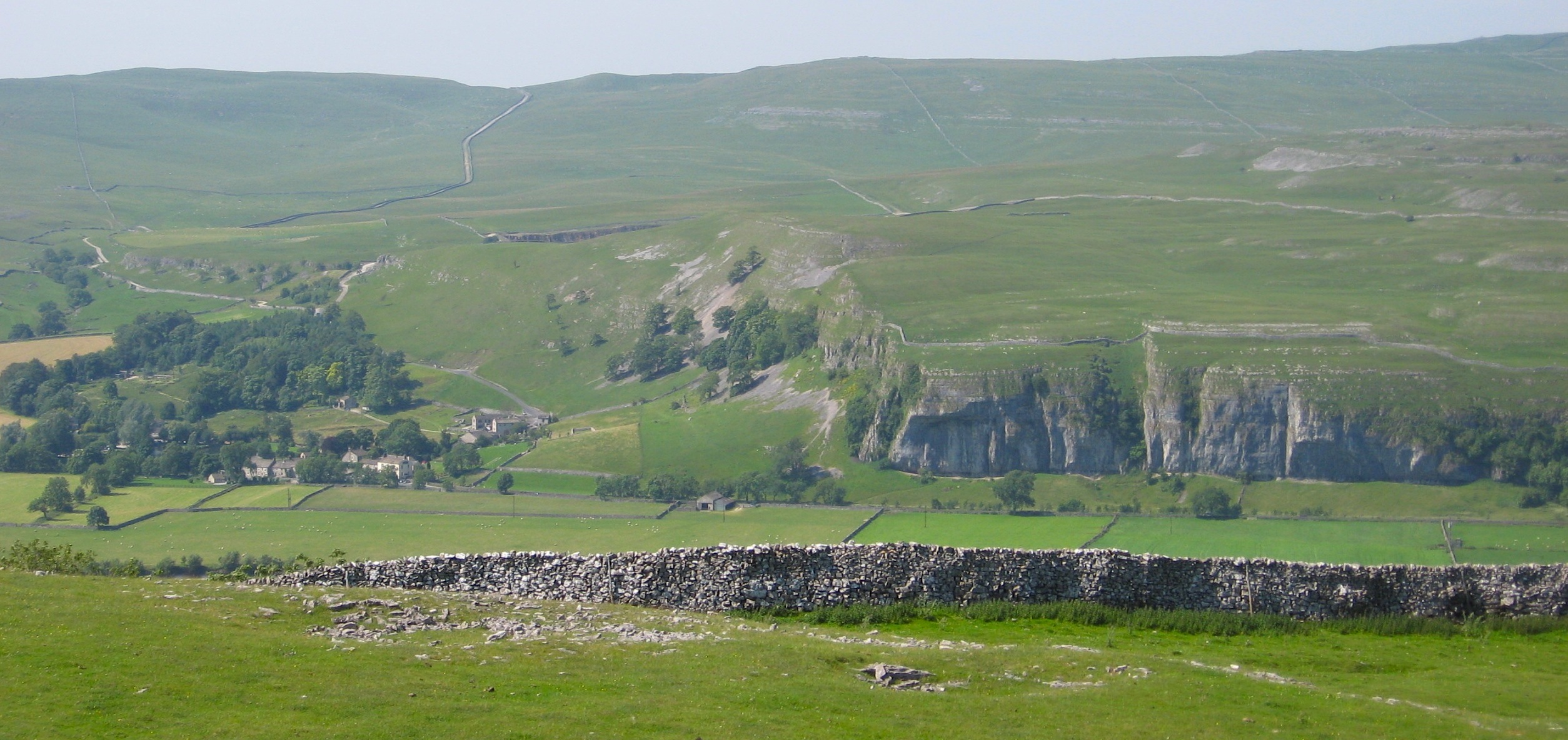
Mill Scar Lash
Waterfall in Yorkshire Craven
England
Mill Scar Lash
Mill Scar Lash, located in Yorkshire, England, is a captivating waterfall nestled within the picturesque landscape of the Yorkshire Dales National Park. This stunning natural feature is a well-known tourist attraction, drawing visitors from far and wide.
Mill Scar Lash is a cascading waterfall that tumbles down a series of rocky steps, creating a mesmerizing display of rushing water. The falls are fed by a small stream that originates from the surrounding moorland, making it particularly impressive during periods of heavy rainfall.
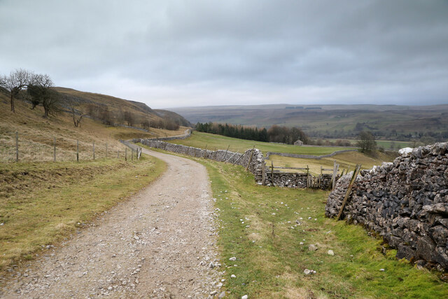
The waterfall is surrounded by lush greenery and towering limestone cliffs, adding to its charm and providing a dramatic backdrop. Access to Mill Scar Lash is relatively easy, with a well-maintained footpath leading visitors to a designated viewing area. From here, one can admire the beauty of the waterfall up close and marvel at its sheer power.
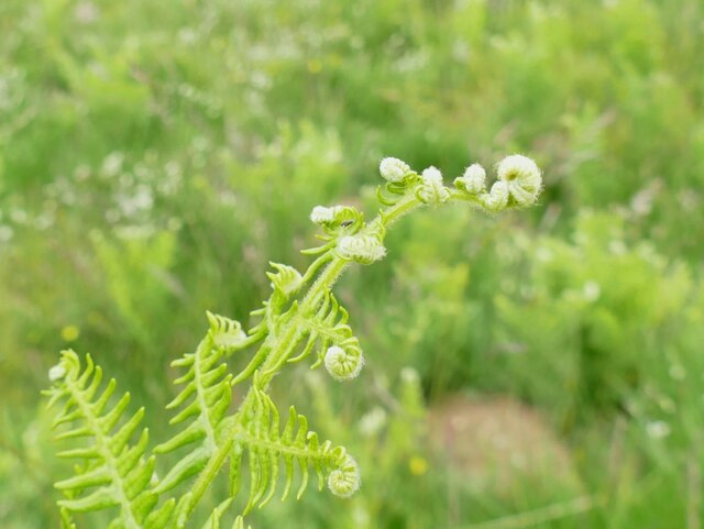
The area around Mill Scar Lash is known for its abundant wildlife, including various bird species and small mammals. It is also home to a diverse range of plant life, with colorful wildflowers dotting the landscape during the warmer months.
The tranquil atmosphere and natural beauty of Mill Scar Lash make it an ideal spot for hiking, nature photography, or simply enjoying a peaceful picnic. Many visitors make it a point to include this enchanting waterfall in their itinerary when exploring the Yorkshire Dales, ensuring a memorable experience in this captivating part of England.
If you have any feedback on the listing, please let us know in the comments section below.
Mill Scar Lash Images
Images are sourced within 2km of 54.093264/-2.0325769 or Grid Reference SD9766. Thanks to Geograph Open Source API. All images are credited.
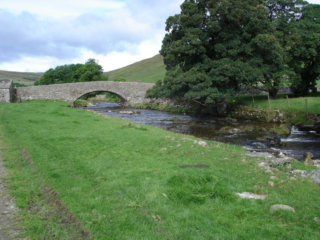
![A walk from Grassington to Kelber and return [56] A view down the incised valley known as Dib. Seen from the footpath.
After leaving the town, the walk crosses Grassington Moor via Bare House to Bycliffe Road. The road is followed past Kelber Gate towards Scot Gate Lane. The route then follows the long distance Dales Way back to Grassington. About 6½ miles.](https://s2.geograph.org.uk/geophotos/07/03/78/7037882_2711e8ca.jpg)
![A walk from Grassington to Kelber and return [57] The footpath, part of the long distance Dales Way, heads across the moorland towards Grassington.
After leaving the town, the walk crosses Grassington Moor via Bare House to Bycliffe Road. The road is followed past Kelber Gate towards Scot Gate Lane. The route then follows the long distance Dales Way back to Grassington. About 6½ miles.](https://s3.geograph.org.uk/geophotos/07/03/78/7037883_24940df1.jpg)
![A walk from Grassington to Kelber and return [58] Two footpaths cross at this point. The paths lead to Scot Gate Lane, Conistone, Bare House and Grassington.
After leaving the town, the walk crosses Grassington Moor via Bare House to Bycliffe Road. The road is followed past Kelber Gate towards Scot Gate Lane. The route then follows the long distance Dales Way back to Grassington. About 6½ miles.](https://s1.geograph.org.uk/geophotos/07/03/78/7037889_a8e1b32e.jpg)
![A walk from Grassington to Kelber and return [59] Two footpaths cross at this point. The paths lead to Scot Gate Lane, Conistone, Bare House and Grassington. This is the path to Scot Gate Lane.
After leaving the town, the walk crosses Grassington Moor via Bare House to Bycliffe Road. The road is followed past Kelber Gate towards Scot Gate Lane. The route then follows the long distance Dales Way back to Grassington. About 6½ miles.](https://s0.geograph.org.uk/geophotos/07/03/78/7037892_d686b27a.jpg)
![A walk from Grassington to Kelber and return [60] Two footpaths cross at this point. The paths lead to Scot Gate Lane, Conistone, Bare House and Grassington. This is the path to Conistone.
After leaving the town, the walk crosses Grassington Moor via Bare House to Bycliffe Road. The road is followed past Kelber Gate towards Scot Gate Lane. The route then follows the long distance Dales Way back to Grassington. About 6½ miles.](https://s1.geograph.org.uk/geophotos/07/03/78/7037893_52c6e732.jpg)
![A walk from Grassington to Kelber and return [61] Two footpaths cross at this point. The paths lead to Scot Gate Lane, Conistone, Bare House and Grassington. This is the path to Bare House.
After leaving the town, the walk crosses Grassington Moor via Bare House to Bycliffe Road. The road is followed past Kelber Gate towards Scot Gate Lane. The route then follows the long distance Dales Way back to Grassington. About 6½ miles.](https://s2.geograph.org.uk/geophotos/07/03/78/7037894_f8fc142c.jpg)
![A walk from Grassington to Kelber and return [62] Two footpaths cross at this point. The paths lead to Scot Gate Lane, Conistone, Bare House and Grassington. This is the path, part of the long distance Dales Way, towards Grassington.
After leaving the town, the walk crosses Grassington Moor via Bare House to Bycliffe Road. The road is followed past Kelber Gate towards Scot Gate Lane. The route then follows the long distance Dales Way back to Grassington. About 6½ miles.](https://s3.geograph.org.uk/geophotos/07/03/78/7037895_d67962c5.jpg)
![A walk from Grassington to Kelber and return [63] At this high gated stile, a red navigation marker has been added.
After leaving the town, the walk crosses Grassington Moor via Bare House to Bycliffe Road. The road is followed past Kelber Gate towards Scot Gate Lane. The route then follows the long distance Dales Way back to Grassington. About 6½ miles.](https://s0.geograph.org.uk/geophotos/07/03/78/7037896_93088696.jpg)
![A walk from Grassington to Kelber and return [64] A restored lime kiln alongside the path. See also <a href="https://www.geograph.org.uk/photo/7037898">SD9967 : A walk from Grassington to Kelber and return [65]</a>.
After leaving the town, the walk crosses Grassington Moor via Bare House to Bycliffe Road. The road is followed past Kelber Gate towards Scot Gate Lane. The route then follows the long distance Dales Way back to Grassington. About 6½ miles.](https://s1.geograph.org.uk/geophotos/07/03/78/7037897_a554e4c3.jpg)
![A walk from Grassington to Kelber and return [65] A plaque near the restored lime kiln seen at <a href="https://www.geograph.org.uk/photo/7037897">SD9967 : A walk from Grassington to Kelber and return [64]</a>.
After leaving the town, the walk crosses Grassington Moor via Bare House to Bycliffe Road. The road is followed past Kelber Gate towards Scot Gate Lane. The route then follows the long distance Dales Way back to Grassington. About 6½ miles.](https://s2.geograph.org.uk/geophotos/07/03/78/7037898_1236a02c.jpg)
![A walk from Grassington to Kelber and return [66] The path towards Grassington continues between rock outcrops.
After leaving the town, the walk crosses Grassington Moor via Bare House to Bycliffe Road. The road is followed past Kelber Gate towards Scot Gate Lane. The route then follows the long distance Dales Way back to Grassington. About 6½ miles.](https://s3.geograph.org.uk/geophotos/07/03/78/7037899_94978fbb.jpg)
![A walk from Grassington to Kelber and return [67] Another high gated stile with a red navigation marker.
After leaving the town, the walk crosses Grassington Moor via Bare House to Bycliffe Road. The road is followed past Kelber Gate towards Scot Gate Lane. The route then follows the long distance Dales Way back to Grassington. About 6½ miles.](https://s0.geograph.org.uk/geophotos/07/03/79/7037900_4abf18eb.jpg)
![A walk from Grassington to Kelber and return [68] The path, part of the long distance Dales Way, continues towards Grassington through an area of old settlements with hut circles.
After leaving the town, the walk crosses Grassington Moor via Bare House to Bycliffe Road. The road is followed past Kelber Gate towards Scot Gate Lane. The route then follows the long distance Dales Way back to Grassington. About 6½ miles.](https://s1.geograph.org.uk/geophotos/07/03/79/7037901_9b1e422f.jpg)
![A walk from Grassington to Kelber and return [69] The path to Grassington passes through this rocky area which was an old settlement.
After leaving the town, the walk crosses Grassington Moor via Bare House to Bycliffe Road. The road is followed past Kelber Gate towards Scot Gate Lane. The route then follows the long distance Dales Way back to Grassington. About 6½ miles.](https://s2.geograph.org.uk/geophotos/07/03/79/7037902_3c00fd0b.jpg)
![A walk from Grassington to Kelber and return [70] The path continues towards Grassington.
After leaving the town, the walk crosses Grassington Moor via Bare House to Bycliffe Road. The road is followed past Kelber Gate towards Scot Gate Lane. The route then follows the long distance Dales Way back to Grassington. About 6½ miles.](https://s3.geograph.org.uk/geophotos/07/03/79/7037903_9f533b6c.jpg)
Mill Scar Lash is located at Grid Ref: SD9766 (Lat: 54.093264, Lng: -2.0325769)
Division: West Riding
Administrative County: North Yorkshire
District: Craven
Police Authority: North Yorkshire
What 3 Words
///slipped.blackmail.attention. Near Grassington, North Yorkshire
Nearby Locations
Related Wikis

Conistone
Conistone is a small village in the Craven district of North Yorkshire, England. It lies 3 miles (5 km) north of Grassington, 3 miles (5 km) south of Kettlewell...

Conistone with Kilnsey
Conistone with Kilnsey is a civil parish in Wharfedale in the district of Craven, North Yorkshire, England. It contains the villages of Kilnsey and Conistone...

St Mary's Church, Conistone
St Mary's Church is in the village of Conistone, North Yorkshire, England. It is an active Anglican parish church in the deanery of Skipton, the archdeaconry...
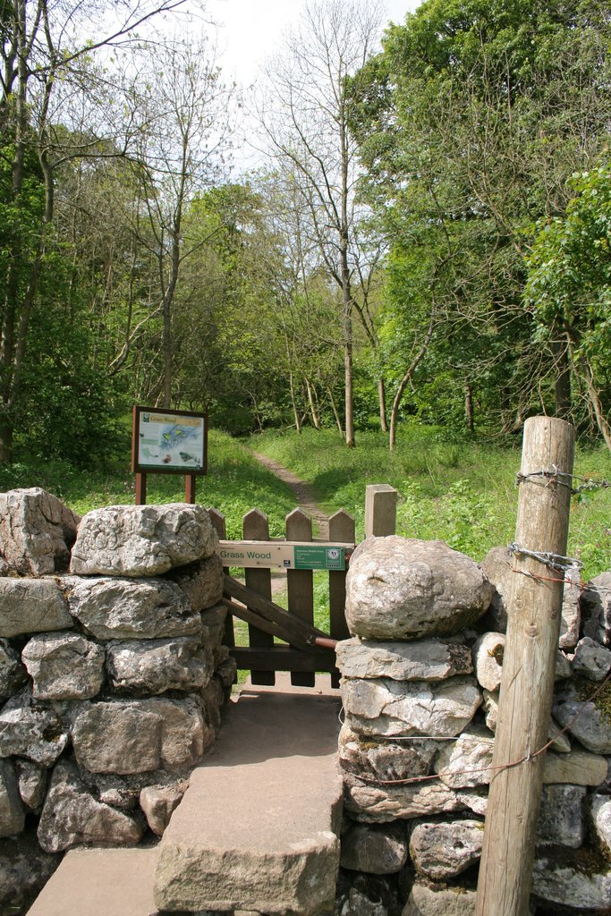
Grass Wood, Wharfedale
Grass Wood is an ancient woodland of 88 hectares (220 acres) in Wharfedale, North Yorkshire, England, that has an exceptional ground flora of woodland...
Kilnsey
Kilnsey is a small village in Wharfedale, North Yorkshire, England. It lies on the B6160 road, between the villages of Grassington and Kettlewell, near...

Upper Wharfedale School
Upper Wharfedale School is a coeducational secondary school located in Threshfield, North Yorkshire, England. The school is named after Wharfedale, one...
Threshfield
Threshfield is a small village and civil parish in the Craven district of North Yorkshire, England with a population of 980 residents, reducing to 968...
River Skirfare
River Skirfare is a small river in North Yorkshire, England, that flows through Littondale and ends where it joins the larger River Wharfe. The source...
Nearby Amenities
Located within 500m of 54.093264,-2.0325769Have you been to Mill Scar Lash?
Leave your review of Mill Scar Lash below (or comments, questions and feedback).