Rushton Hill

Hill, Mountain in Dorset

England

Rushton Hill

Harvest home near Witchampton The hay has been stacked on a beautiful mid-September afternoon.
Harvest home near Witchampton Credit: Peter Kazmierczak

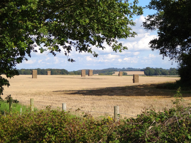
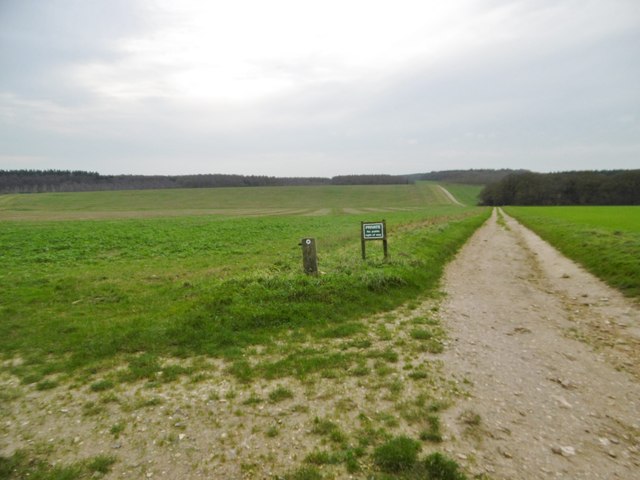
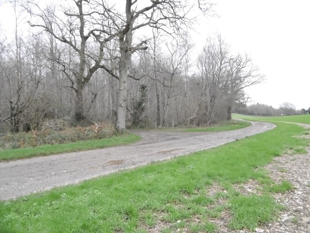
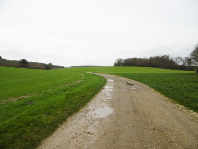
Rushton Hill, located in the county of Dorset, England, is a prominent geographical feature that attracts hikers, nature enthusiasts, and visitors seeking breathtaking views. Rising to an elevation of approximately 271 meters (890 feet), it is classified as a hill rather than a mountain due to its moderate height.

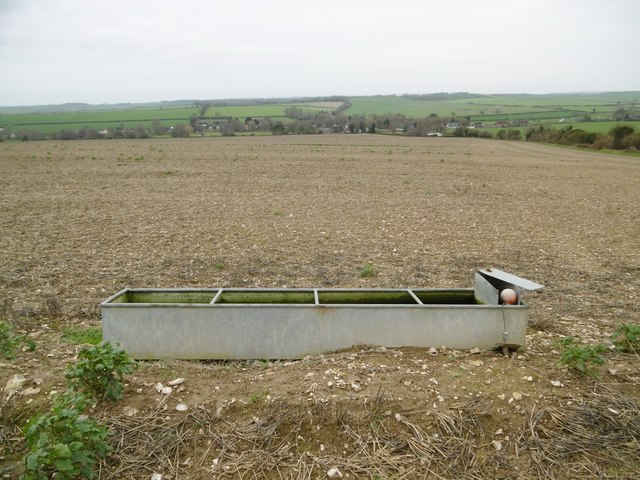
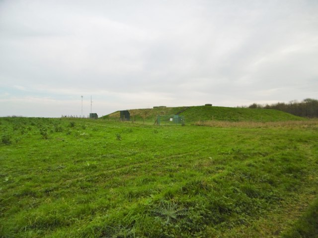
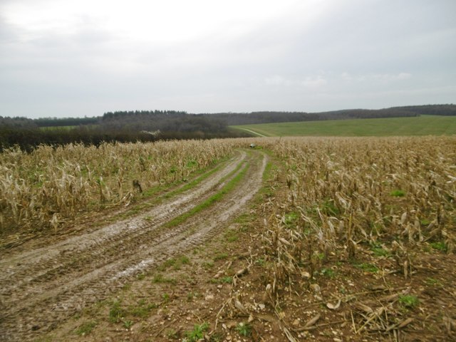
Situated in a rural area, Rushton Hill offers a picturesque and tranquil environment. Its summit provides panoramic vistas of the surrounding countryside, including verdant meadows, dense woodlands, and charming villages. On clear days, visitors can even catch glimpses of the shimmering coastline in the distance.

The hill is known for its diverse flora and fauna, with a variety of plant species thriving in its fertile soil. Wildflowers, such as bluebells and primroses, color the landscape during the spring months, while ferns and mosses decorate the shaded areas. The hill's rich biodiversity also attracts numerous bird species, making it a popular spot for birdwatching.

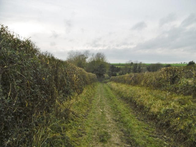
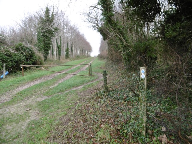
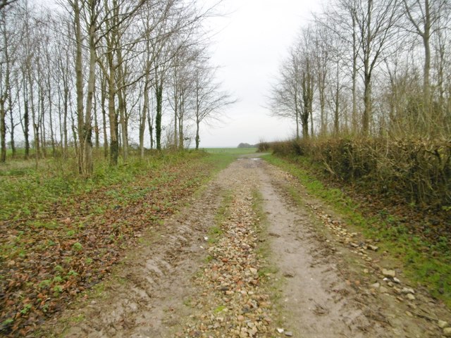
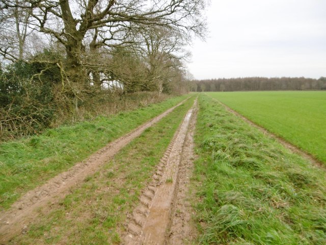
For outdoor enthusiasts, Rushton Hill offers an array of walking trails and footpaths that meander through its slopes. These paths cater to different levels of fitness, ensuring that visitors of all abilities can enjoy the stunning surroundings. Additionally, the hill is often used for paragliding and hang gliding, providing an adrenaline-filled experience for thrill-seekers.

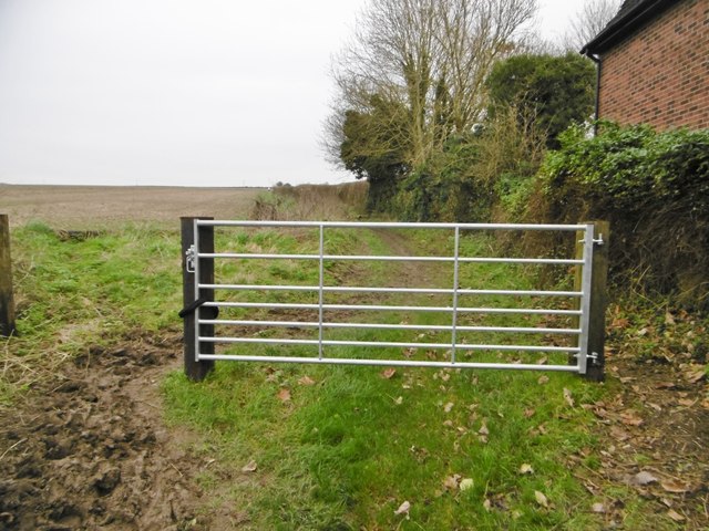
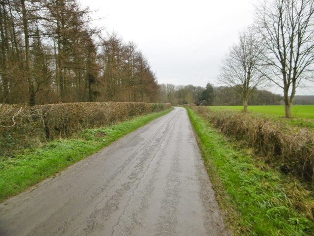
Rushton Hill is easily accessible, with nearby parking facilities and public transportation options available. Whether one seeks a challenging hike, a peaceful picnic spot, or simply a place to marvel at nature's beauty, Rushton Hill in Dorset offers a captivating destination for all.

If you have any feedback on the listing, please let us know in the comments section below.
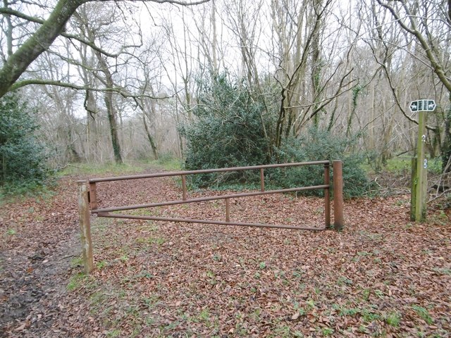
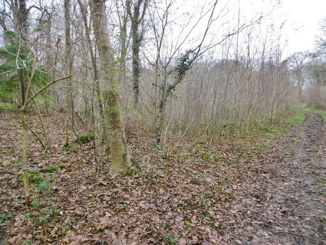
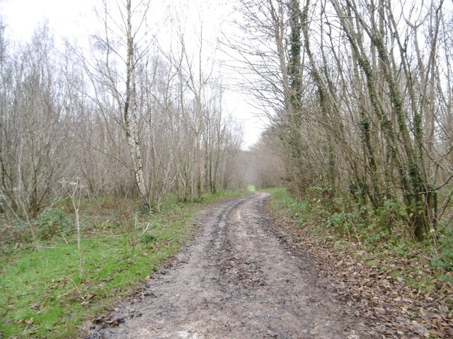
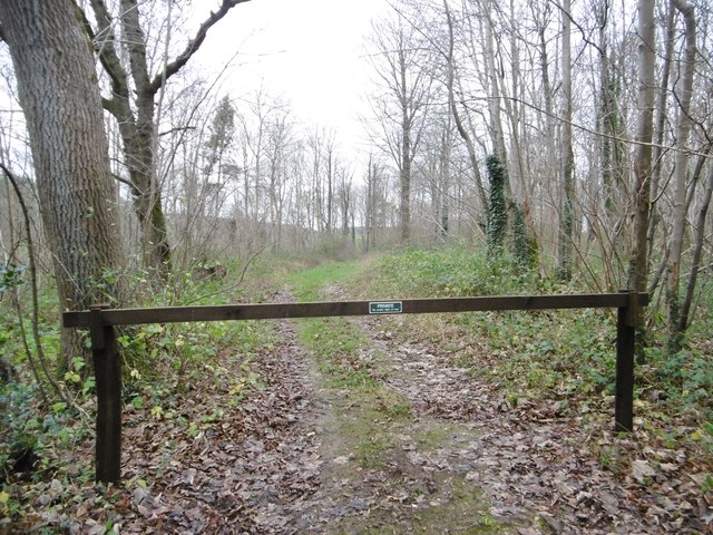
Rushton Hill Images

Images are sourced within 2km of 50.870123/-2.0491474 or Grid Reference ST9607. Thanks to Geograph Open Source API. All images are credited.

Harvest home near Witchampton The hay has been stacked on a beautiful mid-September afternoon.
Harvest home near Witchampton
The hay has been stacked on a beautiful mid-September afternoon.
Tarrant Monkton, Common Drove Former drove road from downland to the village; now a restricted byway.
Tarrant Monkton, Common Drove
Former drove road from downland to the village; now a restricted byway.
Tarrant Monkton, gate At the beginning of Common Drove, a restricted byway from the village to downland.
Tarrant Monkton, gate
At the beginning of Common Drove, a restricted byway from the village to downland.
Tarrant Monkton, trough Currently disused, as it is in a stubble field; looking down the Tarrant Valley towards the village.
Tarrant Monkton, trough
Currently disused, as it is in a stubble field; looking down the Tarrant Valley towards the village.
Tarrant Monkton, marker Ahead, the bridleway towards Launceston Down.
Tarrant Monkton, marker
Ahead, the bridleway towards Launceston Down.
Long Crichel, bridleway Through Launceston Wood, towards Launceston Down.
Long Crichel, bridleway
Through Launceston Wood, towards Launceston Down.
Long Crichel, reservoir
Long Crichel, bridleway junction Left, to Long Crichel; right, to Moor Crichel.
Long Crichel, bridleway junction
Left, to Long Crichel; right, to Moor Crichel.
Long Crichel, marker & notice The bridleway to Moor Crichel takes a sharp left turn here; ahead is a private farm road.
Long Crichel, marker & notice
The bridleway to Moor Crichel takes a sharp left turn here; ahead is a private farm road.
Long Crichel, maize stubble Many local fields have strips of stubble not ploughed in, kept as coverts for game birds.
Long Crichel, maize stubble
Many local fields have strips of stubble not ploughed in, kept as coverts for game birds.
Long Crichel, bridleway Bridleway and farm track, heading towards Moor Crichel. Technically, the bridleway is shown 50m to the South, but riders use this track in preference.
Long Crichel, bridleway
Bridleway and farm track, heading towards Moor Crichel. Technically, the bridleway is shown 50m to the South, but riders use this track in preference.
Long Crichel, minor road From Long Crichel to Manswood and Witchampton.
Long Crichel, minor road
From Long Crichel to Manswood and Witchampton.
Moor Crichel, gate & marker At the northern end of Coutman's Croft, on the bridleway to Manswood.
Moor Crichel, gate & marker
At the northern end of Coutman's Croft, on the bridleway to Manswood.
Moor Crichel, Coutman's Croft Woodland, on the bridleway to Long Crichel. The northern end of the croft is still recognisably hazel coppice; here, scrub has developed, as a covert for game birds.
Moor Crichel, Coutman's Croft
Woodland, on the bridleway to Long Crichel. The northern end of the croft is still recognisably hazel coppice; here, scrub has developed, as a covert for game birds.
Manswood, farm road Bridleway and farm road from isolated buildings, through Coutman's Croft towards Manswood.
Manswood, farm road
Bridleway and farm road from isolated buildings, through Coutman's Croft towards Manswood.
Manswood, gateway Into Coutman's Croft, a game bird covert.
Manswood, gateway
Into Coutman's Croft, a game bird covert.
Manswood, bridleway junction Left, to Launceston Down; ahead, through Coutman's Croft to Long Crichel; right, to Manswood.
Manswood, bridleway junction
Left, to Launceston Down; ahead, through Coutman's Croft to Long Crichel; right, to Manswood.
Manswood, farm road Farm road and bridleway, towards the Tarrants.
Manswood, farm road
Farm road and bridleway, towards the Tarrants.
Show me another place!

Rushton Hill is located at Grid Ref: ST9607 (Lat: 50.870123, Lng: -2.0491474)

Unitary Authority: Dorset

Police Authority: Dorset

What 3 Words

///shorter.stubbed.thrashing. Near Pimperne, Dorset

Related Wikis

Bryanston SSSI, Dorset

Bryanston SSSI (grid reference ST974070) is a 0.3 hectare biological Site of Special Scientific Interest in Dorset, England notified in 1977. It is used...

Tarrant Monkton

Tarrant Monkton is a village and civil parish in north Dorset, England, situated in the Tarrant Valley about four miles (six kilometres) east-northeast...

Long Crichel

Long Crichel () is a small village and former civil parish, now in the parish of Crichel, in east Dorset, England, situated on Cranborne Chase five miles...

Witchampton

Witchampton is a village and civil parish in East Dorset, England, situated on the River Allen 5 miles (8 km) north of Wimborne Minster. The 2011 census...

St Mary's Church, Long Crichel

St Mary's Church is in the village of Long Crichel, Dorset, England. It is a redundant Anglican parish church that has been under the care of the Friends...

Knowlton Hundred

Knowlton Hundred was a hundred in the county of Dorset, England, containing the following parishes: Gussage All Saints Long Crichel Woodlands == See... ==

Moor Crichel

Moor Crichel () is a village and former civil parish, now in the parish of Crichel, in East Dorset, England situated on Cranborne Chase five miles east...

Crichel House

Crichel House is a Grade I listed, Classical Revival country house near the village of Moor Crichel in Dorset, England. The house has an entrance designed...

Have you been to Rushton Hill?

Leave your review of Rushton Hill below (or comments, questions and feedback).