Chalcotts Coppice
Wood, Forest in Dorset
England
Chalcotts Coppice
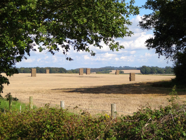
Chalcotts Coppice is a picturesque woodland located in the county of Dorset, England. Situated near the village of Chalbury, it covers an area of approximately 40 acres and is known for its natural beauty and diverse range of flora and fauna.
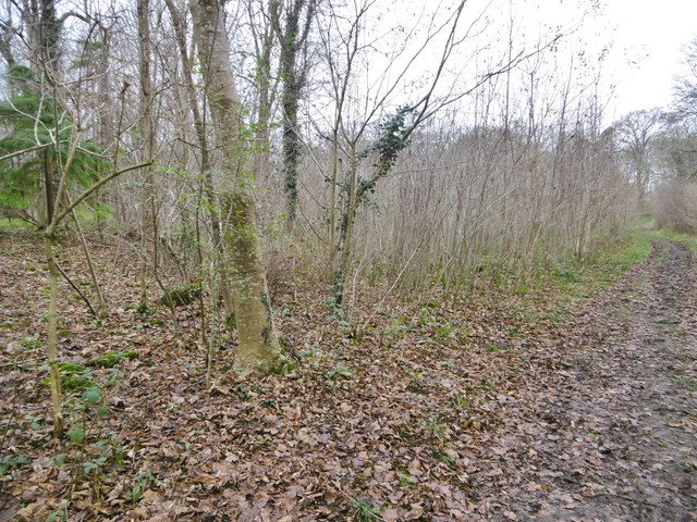
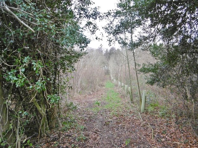
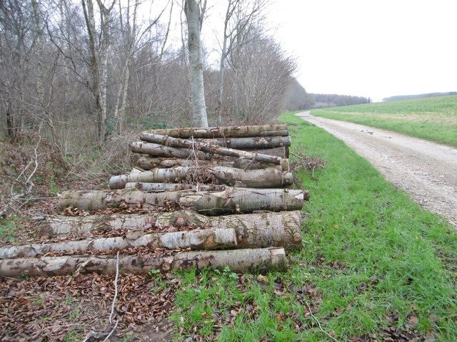
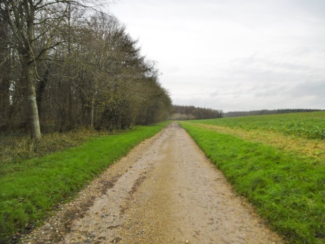
The woodland is predominantly composed of native broadleaf trees such as oak, beech, and ash, which create a dense canopy overhead. These trees provide a habitat for numerous bird species including woodpeckers, tits, and finches, making it a popular destination for birdwatchers and nature enthusiasts.
Chalcotts Coppice is also home to a variety of woodland plants and wildflowers, which bloom during the spring and summer months. Bluebells, primroses, and wild garlic carpet the forest floor, adding a vibrant burst of color to the landscape.
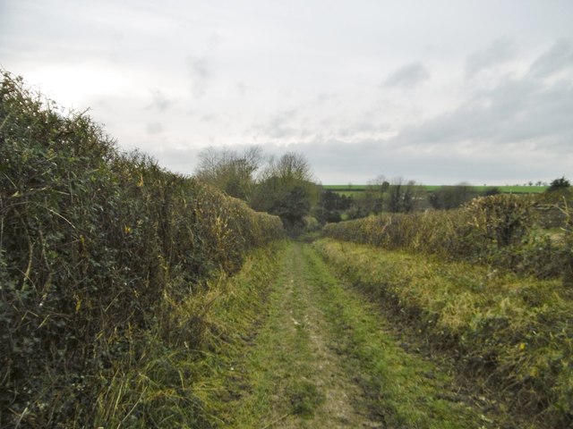
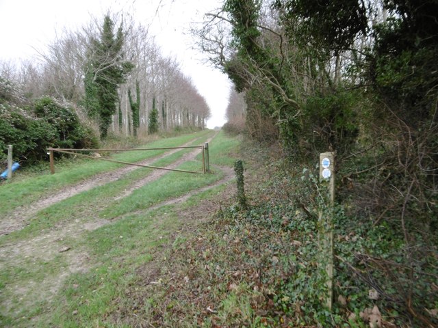
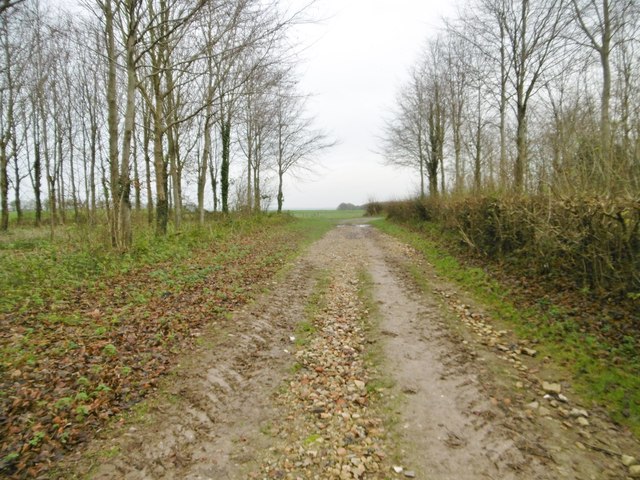
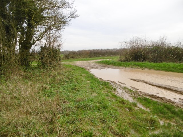
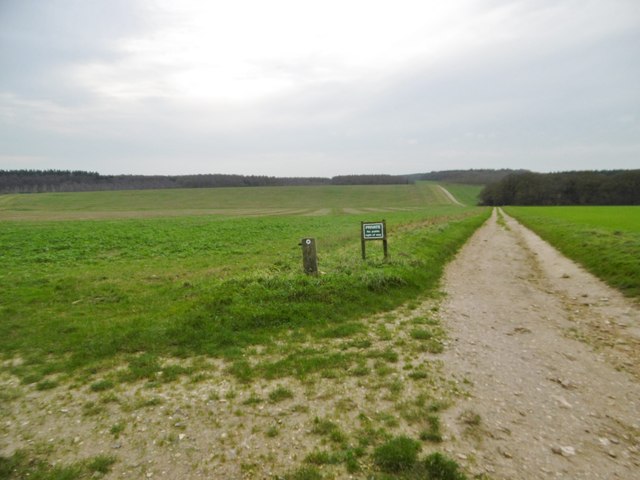
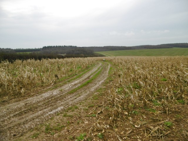
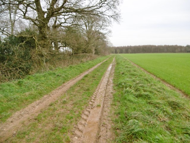
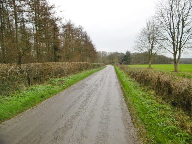
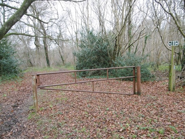
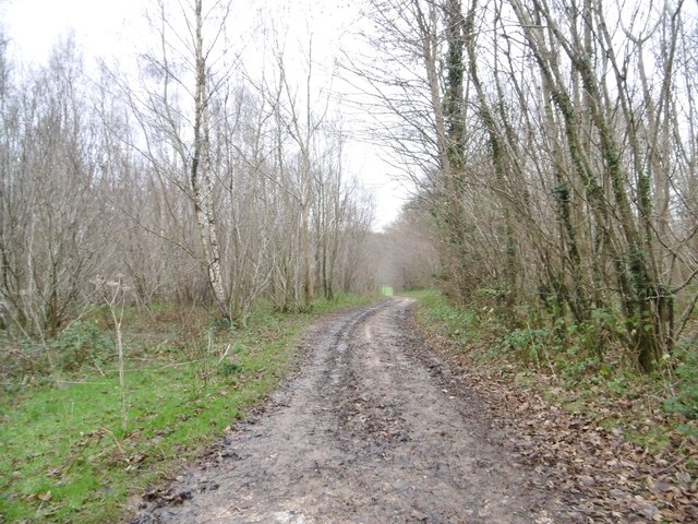
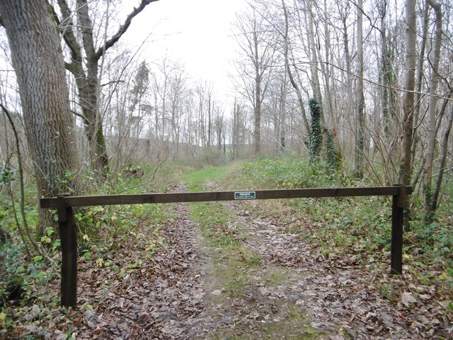
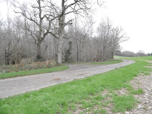
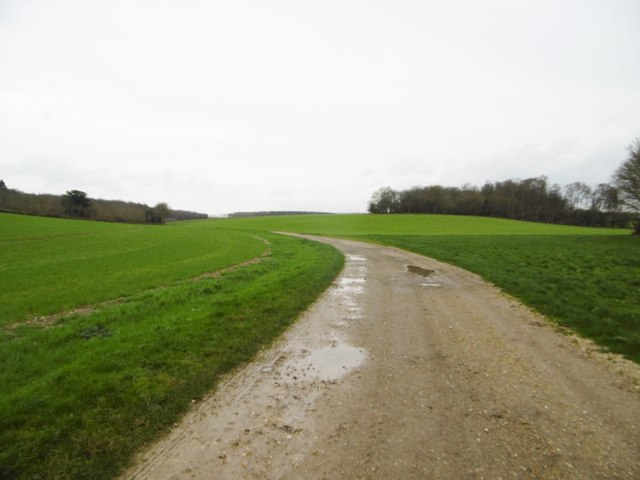
The woodland is crisscrossed by a network of footpaths and trails, making it easily accessible for visitors who wish to explore its natural wonders. These paths wind through the trees, offering glimpses of sunlight filtering through the foliage and providing a peaceful and tranquil atmosphere.
In addition to its natural beauty, Chalcotts Coppice holds historical significance. It is believed that the woodland has been in existence for hundreds of years and has been managed for timber production in the past. The remnants of old saw pits and charcoal platforms can still be found, serving as reminders of its former use.
Overall, Chalcotts Coppice is a captivating woodland that offers a haven for wildlife and a serene escape for those seeking a connection with nature. Its stunning scenery, diverse flora and fauna, and historical features make it a must-visit destination for anyone exploring the Dorset countryside.
If you have any feedback on the listing, please let us know in the comments section below.
Chalcotts Coppice Images
Images are sourced within 2km of 50.869684/-2.0465322 or Grid Reference ST9607. Thanks to Geograph Open Source API. All images are credited.
Chalcotts Coppice is located at Grid Ref: ST9607 (Lat: 50.869684, Lng: -2.0465322)
Unitary Authority: Dorset
Police Authority: Dorset
What 3 Words
///rankings.dislikes.swaps. Near Pimperne, Dorset
Nearby Locations
Related Wikis

Bryanston SSSI, Dorset
Bryanston SSSI (grid reference ST974070) is a 0.3 hectare biological Site of Special Scientific Interest in Dorset, England notified in 1977. It is used...

Witchampton
Witchampton is a village and civil parish in East Dorset, England, situated on the River Allen 5 miles (8 km) north of Wimborne Minster. The 2011 census...

Long Crichel
Long Crichel () is a small village and former civil parish, now in the parish of Crichel, in east Dorset, England, situated on Cranborne Chase five miles...
Knowlton Hundred
Knowlton Hundred was a hundred in the county of Dorset, England, containing the following parishes: Gussage All Saints Long Crichel Woodlands == See... ==

Tarrant Monkton
Tarrant Monkton is a village and civil parish in north Dorset, England, situated in the Tarrant Valley about four miles (six kilometres) east-northeast...

Moor Crichel
Moor Crichel () is a village and former civil parish, now in the parish of Crichel, in East Dorset, England situated on Cranborne Chase five miles east...

St Mary's Church, Long Crichel
St Mary's Church is in the village of Long Crichel, Dorset, England. It is a redundant Anglican parish church that has been under the care of the Friends...

Crichel House
Crichel House is a Grade I listed, Classical Revival country house near the village of Moor Crichel in Dorset, England. The house has an entrance designed...
Related Videos

Glamping and Chill
london #londonlife #london #adventure #camping #glamping #nature #secretlondon #fujifilmphotography #fujifilm_xseries ...

White mill bridge #hobby #wimborne #dorset #droneview #dronephotography #foryou #fyp #dji #djimini3
wimborneminster # Wimborne from above a view around the town #hobby #dorset #dronephotography #droneview #dji #djimini3 ...
Have you been to Chalcotts Coppice?
Leave your review of Chalcotts Coppice below (or comments, questions and feedback).