Dean Hill Coppice

Wood, Forest in Dorset

England

Dean Hill Coppice

Former hangar, Tarrant Rushton Airfield Several former airfield buildings remain, now in agricultural or light industrial use.
Former hangar, Tarrant Rushton Airfield Credit: David Martin

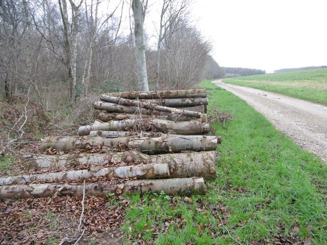
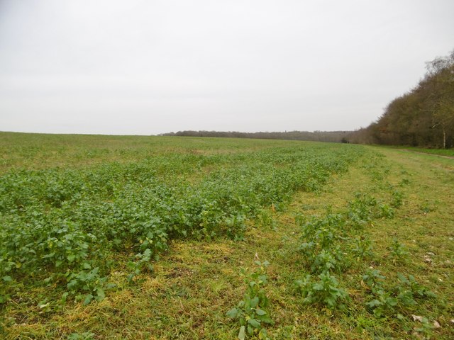
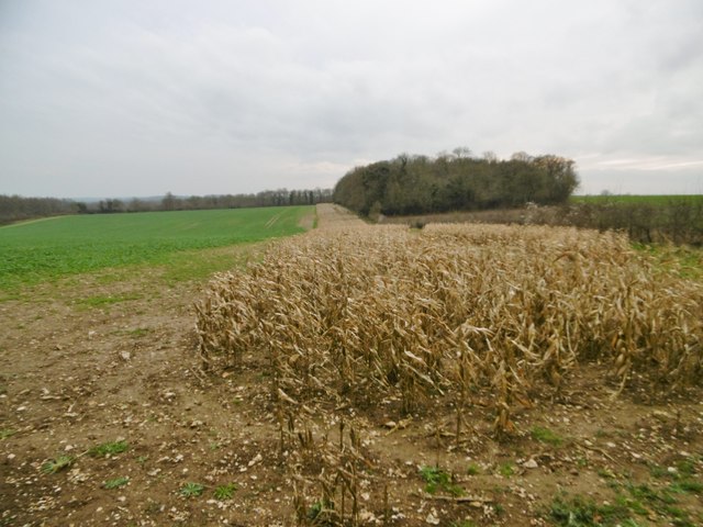
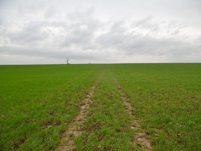
Dean Hill Coppice is a charming woodland located in the county of Dorset, England. Covering an area of approximately 50 acres, it is situated in close proximity to the village of Sixpenny Handley. The coppice is well-known for its picturesque beauty and rich biodiversity.

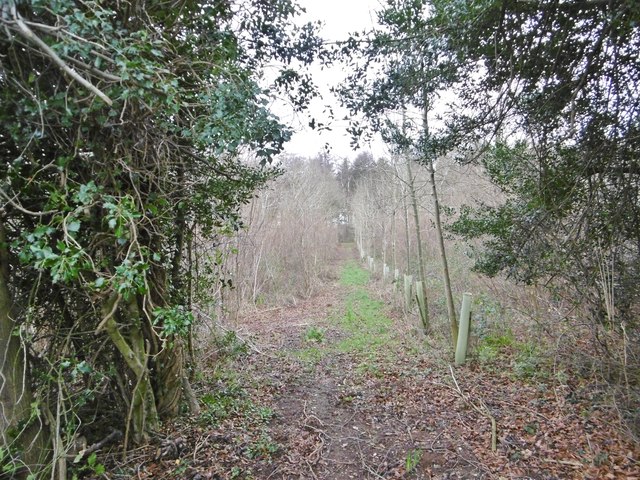
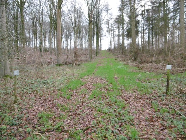
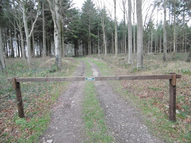
The woodland is predominantly composed of deciduous trees, such as oak, ash, and beech. These trees create a dense canopy that provides shade and shelter for a variety of flora and fauna. The forest floor is adorned with a carpet of bluebells during the springtime, creating a stunning visual display.

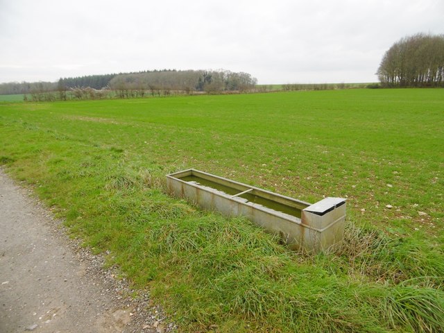
Dean Hill Coppice is a haven for wildlife enthusiasts, as it is home to a wide range of species. Birdwatchers can spot common woodland birds like robins, blackbirds, and great tits, as well as rarer species such as tawny owls and woodpeckers. The woodland also supports a thriving population of mammals, including foxes, badgers, and deer.

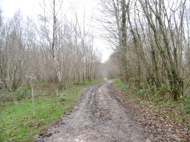
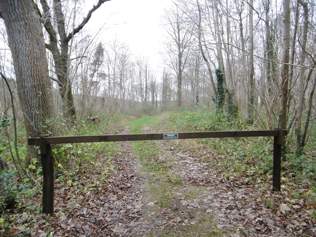
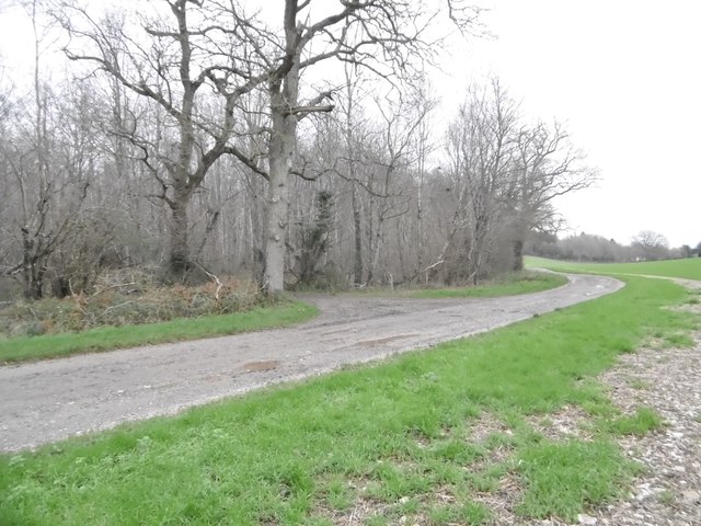
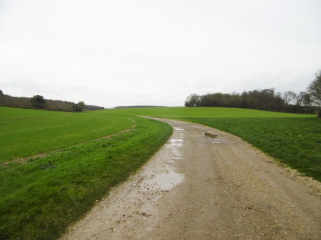
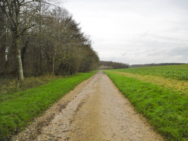
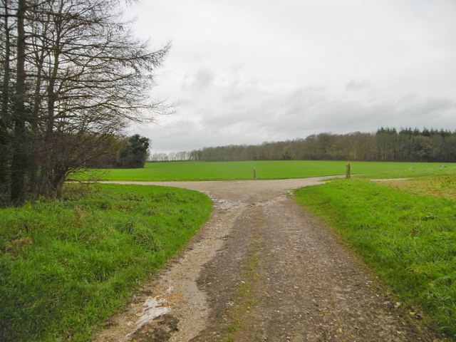
Visitors to Dean Hill Coppice can enjoy a peaceful stroll along the well-maintained footpaths that wind through the woodland. The paths offer glimpses of the surrounding countryside and provide opportunities for leisurely walks, jogging, and dog walking. Additionally, the coppice has designated picnic areas where visitors can relax and enjoy the tranquil atmosphere.

Overall, Dean Hill Coppice is a tranquil and enchanting woodland that offers a delightful escape from the hustle and bustle of everyday life. Its diverse ecosystem and natural beauty make it a popular destination for nature lovers and outdoor enthusiasts alike.

If you have any feedback on the listing, please let us know in the comments section below.

Dean Hill Coppice Images

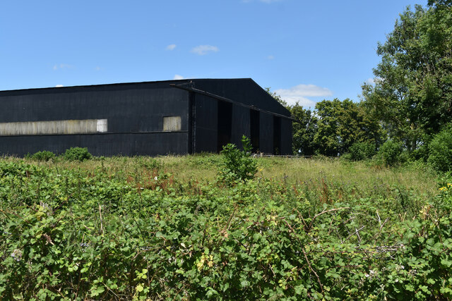
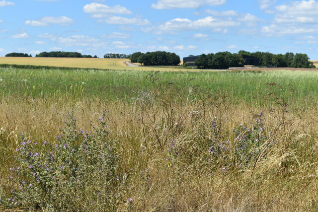
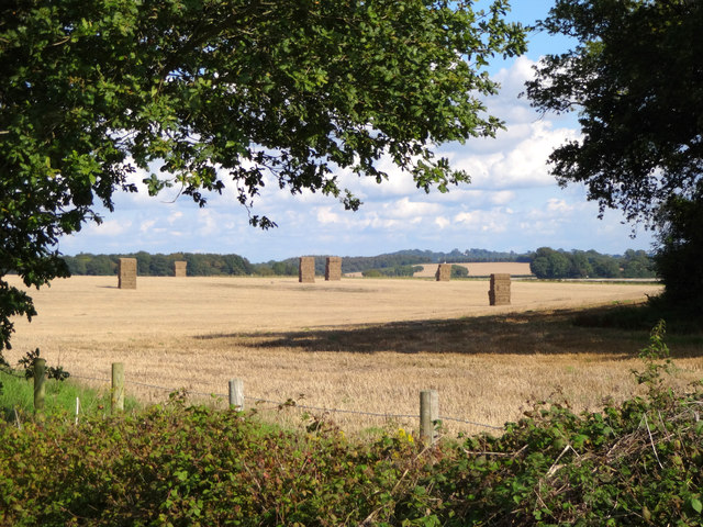
Images are sourced within 2km of 50.86391/-2.049013 or Grid Reference ST9607. Thanks to Geograph Open Source API. All images are credited.

Former hangar, Tarrant Rushton Airfield Several former airfield buildings remain, now in agricultural or light industrial use.
Former hangar, Tarrant Rushton Airfield
Several former airfield buildings remain, now in agricultural or light industrial use.
View across former Tarrant Rushton Airfield The airfield site is now primarily arable farmland. A former hangar is just visible in the trees.
View across former Tarrant Rushton Airfield
The airfield site is now primarily arable farmland. A former hangar is just visible in the trees.
Direction Sign – Signpost on Roman Road, Witchampton Located on the northwest side of the crossroads on the Roman road west of Witchampton. Witchampton parish. 4 arms and annulus and bar finial. See also <a title="https://www.geograph.org.uk/photo/5299415" href="https://www.geograph.org.uk/photo/5299415">Link</a> and <a title="https://www.geograph.org.uk/photo/3390452" href="https://www.geograph.org.uk/photo/3390452">Link</a>.

Milestone Society National ID: DO_ST9706
Direction Sign – Signpost on Roman Road, Witchampton
Located on the northwest side of the crossroads on the Roman road west of Witchampton. Witchampton parish. 4 arms and annulus and bar finial. See also Link and Link. Milestone Society National ID: DO_ST9706
Harvest home near Witchampton The hay has been stacked on a beautiful mid-September afternoon.
Harvest home near Witchampton
The hay has been stacked on a beautiful mid-September afternoon.
Manswood, farm road Bridleway and farm road from isolated buildings, through Coutman's Croft towards Manswood.
Manswood, farm road
Bridleway and farm road from isolated buildings, through Coutman's Croft towards Manswood.
Manswood, gateway Into Coutman's Croft, a game bird covert.
Manswood, gateway
Into Coutman's Croft, a game bird covert.
Manswood, bridleway junction Left, to Launceston Down; ahead, through Coutman's Croft to Long Crichel; right, to Manswood.
Manswood, bridleway junction
Left, to Launceston Down; ahead, through Coutman's Croft to Long Crichel; right, to Manswood.
Manswood, farm road Farm road and bridleway, towards the Tarrants.
Manswood, farm road
Farm road and bridleway, towards the Tarrants.
Manswood, Strawberry Coppice The eastern end of the coppice is still used for timber production - note the tree tubes.
Manswood, Strawberry Coppice
The eastern end of the coppice is still used for timber production - note the tree tubes.
Manswood, timber Birch trunks from Strawberry Coppice awaiting collection by the roadside.
Manswood, timber
Birch trunks from Strawberry Coppice awaiting collection by the roadside.
Manswood, bridleway Bridleway and farm road, between Strawberry Coppice (left) and farmland, towards Tarrant Monkton.
Manswood, bridleway
Bridleway and farm road, between Strawberry Coppice (left) and farmland, towards Tarrant Monkton.
Manswood, forestry track Into Strawberry Coppice. Note the number posts for different parcels of woodland.
Manswood, forestry track
Into Strawberry Coppice. Note the number posts for different parcels of woodland.
Manswood, rape field On Horse Down. A few plants are unseasonably in flower.
Manswood, rape field
On Horse Down. A few plants are unseasonably in flower.
Manswood, bridleway junction Left, to Tarrant Monkton; right, to Tarrant Launceston.
Manswood, bridleway junction
Left, to Tarrant Monkton; right, to Tarrant Launceston.
Tarrant Monkton, trough Currently not in use, as the field is arable.
Tarrant Monkton, trough
Currently not in use, as the field is arable.
Tarrant Monkton, gateway Into Horse Coppice.
Tarrant Monkton, gateway
Into Horse Coppice.
Tarrant Monkton, maize stubble Many local fields have strips of maize left unploughed, as coverts for game birds.
Tarrant Monkton, maize stubble
Many local fields have strips of maize left unploughed, as coverts for game birds.
Tarrant Monkton, bridleway Across Little Down towards the village. Tractor marks define the path; the legal route seems to deviate slightly.
Tarrant Monkton, bridleway
Across Little Down towards the village. Tractor marks define the path; the legal route seems to deviate slightly.
Show me another place!

Dean Hill Coppice is located at Grid Ref: ST9607 (Lat: 50.86391, Lng: -2.049013)

Unitary Authority: Dorset

Police Authority: Dorset

What 3 Words

///catapult.slip.micro. Near Pimperne, Dorset

Related Wikis

Bryanston SSSI, Dorset

Bryanston SSSI (grid reference ST974070) is a 0.3 hectare biological Site of Special Scientific Interest in Dorset, England notified in 1977. It is used...

Witchampton

Witchampton is a village and civil parish in East Dorset, England, situated on the River Allen 5 miles (8 km) north of Wimborne Minster. The 2011 census...

RAF Tarrant Rushton

Royal Air Force Tarrant Rushton or more simply RAF Tarrant Rushton is a former Royal Air Force station near the village of Tarrant Rushton east of Blandford...

Tarrant Rawston

Tarrant Rawston is a hamlet and civil parish in the county of Dorset in southern England. It is named after the River Tarrant which flows through the parish...

Nearby Amenities

Located within 500m of 50.86391,-2.049013
Dean Hill
Ele: 55
Natural: peak
Lat/Long: 50.8617857/-2.0475428
The data included in this document is from www.openstreetmap.org. The data is made available under ODbL.

Have you been to Dean Hill Coppice?

Leave your review of Dean Hill Coppice below (or comments, questions and feedback).