Hungry Hill

Hill, Mountain in Durham

England

Hungry Hill

Weardale around Eastgate
Weardale around Eastgate Credit: Mike Quinn

The requested URL returned error: 429 Too Many Requests

If you have any feedback on the listing, please let us know in the comments section below.
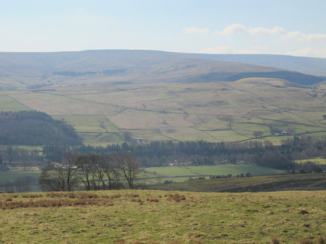
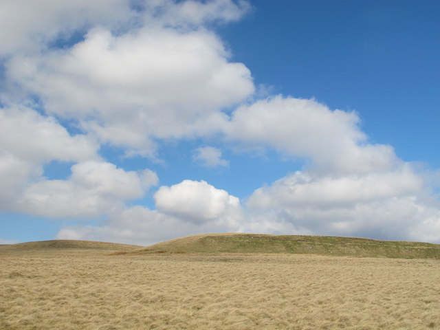
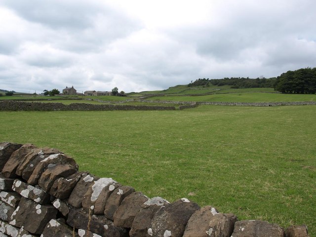
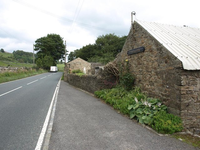
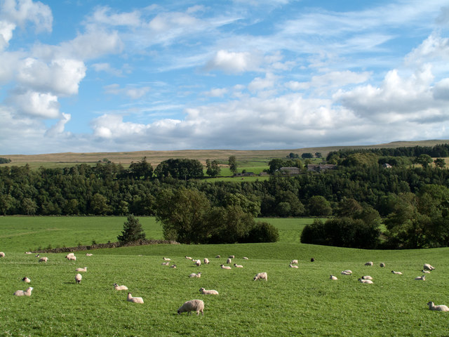
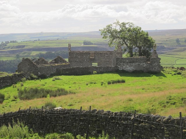
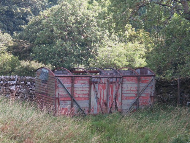
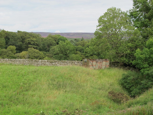
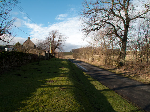
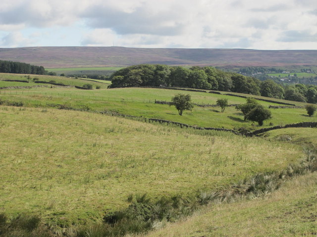
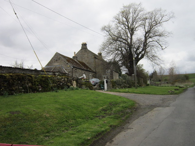
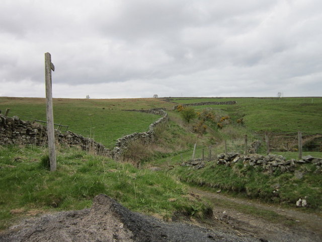
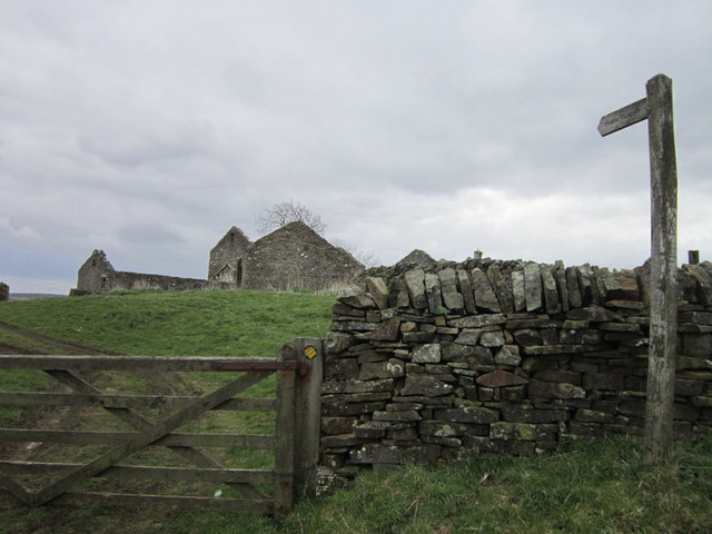
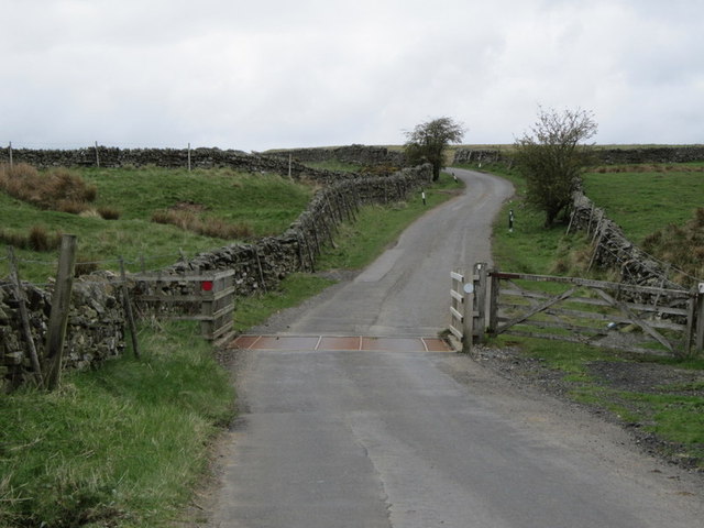
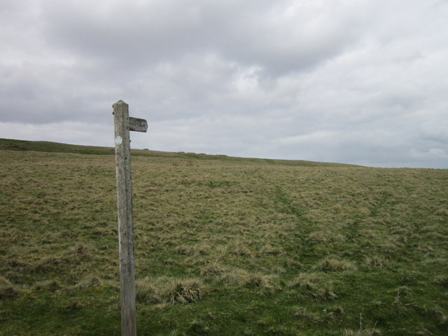
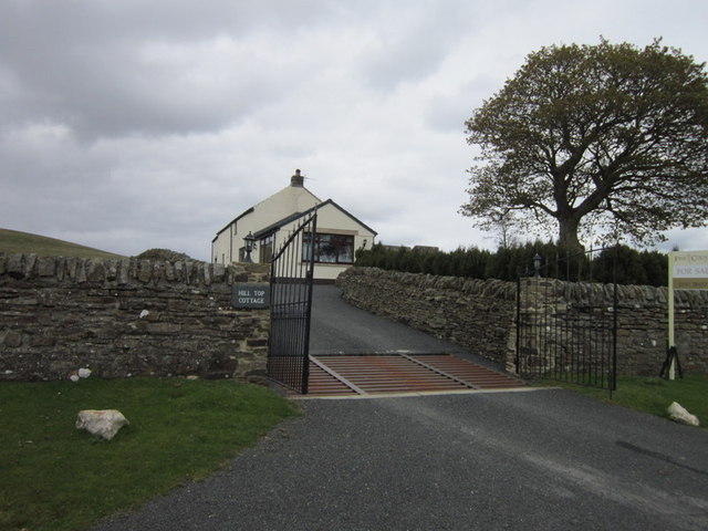
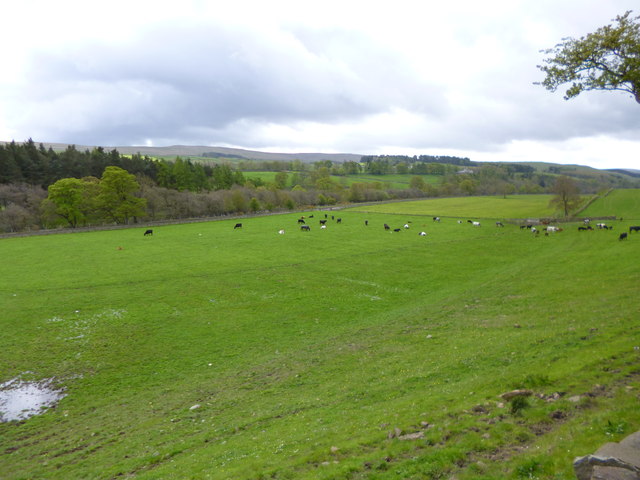
Hungry Hill Images

Images are sourced within 2km of 54.75824/-2.057307 or Grid Reference NY9640. Thanks to Geograph Open Source API. All images are credited.

Weardale around Eastgate
Bewdley Plain and Black Hill
Pastures and dry stone walls next to A689
White House Farm, on the A689
Field west of Howl John The field with grazing sheep is in Weardale between the villages of Eastgate and Stanhope; it lies immediately west of the curiously named farm at Howl John. Other fields and clumps of trees lie beyond to the south before a slope rises to grassy moorland.
Field west of Howl John
The field with grazing sheep is in Weardale between the villages of Eastgate and Stanhope; it lies immediately west of the curiously named farm at Howl John. Other fields and clumps of trees lie beyond to the south before a slope rises to grassy moorland.
East Bewdley
East Bewdley
Old railway goods van near Greenhead Farm The location of this old railway goods van is shown in <a href="https://www.geograph.org.uk/photo/2559305">NY9739 : The valley of Allerton Burn near Greenhead Farm</a>.
Old railway goods van near Greenhead Farm
The location of this old railway goods van is shown in NY9739 : The valley of Allerton Burn near Greenhead Farm.
The valley of Allerton Burn near Greenhead Farm Shows the location of <a href="https://www.geograph.org.uk/photo/2559299">NY9739 : Old railway goods van near Greenhead Farm</a>.
The valley of Allerton Burn near Greenhead Farm
Minor road passing Greenhead Farm The road pictured here leaves the A689 in Weardale just west of Stanhope and climbs across the valley's northern slope reaching quite high on it before descending into Rook Hope, a tributary valley to Weardale itself.
Minor road passing Greenhead Farm
The road pictured here leaves the A689 in Weardale just west of Stanhope and climbs across the valley's northern slope reaching quite high on it before descending into Rook Hope, a tributary valley to Weardale itself.
Allerton Riggs
Allerton Riggs
Greenhead Farm
Greenhead Farm
A path at Allerton Riggs
A path at Bewdley
A path at Bewdley
A cattle grid near Bewdley
A path at Bewdley Plain
Hill Top Cottage
Hill Top Cottage
Stanhope, cattle grazing In a field next to the Wear, with the preserved railway line North of the river.
Stanhope, cattle grazing
In a field next to the Wear, with the preserved railway line North of the river.
Stanhope, A689 "A" road from Alston to Bishop Auckland, descending into Stanhope.
Stanhope, A689
"A" road from Alston to Bishop Auckland, descending into Stanhope.
Show me another place!

Hungry Hill is located at Grid Ref: NY9640 (Lat: 54.75824, Lng: -2.057307)

Unitary Authority: County Durham

Police Authority: Durham

What 3 Words

///running.string.pampering. Near Stanhope, Co. Durham

Nearby Locations

Hungry Hill Reahope Moor

Related Wikis

Rookhope

Rookhope is a village in the civil parish of Stanhope, in County Durham, England. A former lead and fluorspar mining community, it first existed as a group...

Horsley Hall

Horsley Hall is a 17th-century country house, now in use as a hotel, near Stanhope, County Durham, England. It is a Grade II listed building. The manor...

Eastgate, County Durham

Eastgate is a village in the civil parish of Stanhope, in County Durham, England. It is situated in Weardale, a few miles west of Stanhope. In the 2001...

Eastgate railway station

Eastgate railway station, also known as Eastgate-in-Weardale, served the village of Eastgate in County Durham, North East England from 1895 to 1953 as...

Nearby Amenities

Located within 500m of 54.75824,-2.057307
Crow Coal Hill
Ele: 465.9
Image: https://www.geograph.org.uk/photo/5237017
Man Made: survey_point
Natural: peak
Ref: NY86T020
Source: npe
Source Name: OS_OpenData_StreetView
Website: https://trigpointing.uk/trig/2625
Lat/Long: 54.7586251/-2.0648755
Ford: yes
Lat/Long: 54.7555209/-2.0516579
Allerton Spring
Natural: spring
Lat/Long: 54.7552462/-2.0581207
Ford: yes
Lat/Long: 54.7545705/-2.0538755
Ford: yes
Lat/Long: 54.7617922/-2.0540558
The data included in this document is from www.openstreetmap.org. The data is made available under ODbL.

Have you been to Hungry Hill?

Leave your review of Hungry Hill below (or comments, questions and feedback).