Guinea Hill
Hill, Mountain in Northumberland
England
Guinea Hill
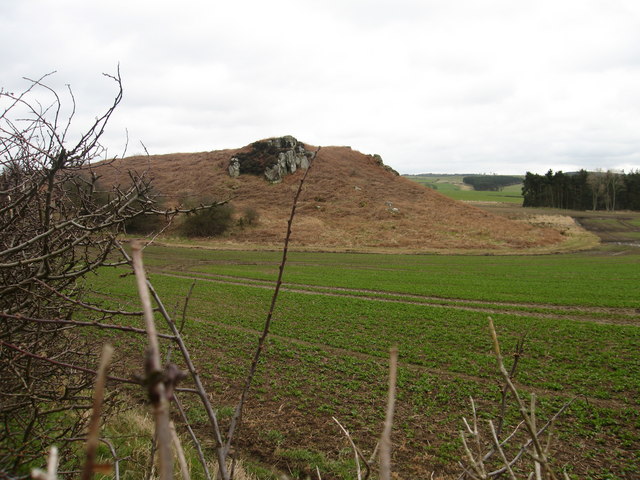
Guinea Hill is a prominent hill located in the county of Northumberland, England. Rising to an elevation of approximately 400 meters (1,312 feet), it is classified as a hill rather than a mountain due to its relatively modest height. The hill is situated in the remote and picturesque countryside, surrounded by rolling fields and undulating landscapes.
Guinea Hill is renowned for its breathtaking panoramic views, offering visitors an opportunity to appreciate the natural beauty of Northumberland. From the hill's summit, one can observe the sprawling Northumberland National Park to the west, with its vast expanses of heather moorland and dense forests. To the east, the hill provides a stunning vista of the North Sea coastline, stretching out towards the historic town of Alnwick.
The hill's name, Guinea, is believed to have originated from the local dialect, possibly derived from the old English word "gwen" meaning "white" or "bright." This name may refer to the hill's appearance during certain seasons, when its grassy slopes are covered in vibrant wildflowers or when the sunlight reflects off the dew-covered meadows.
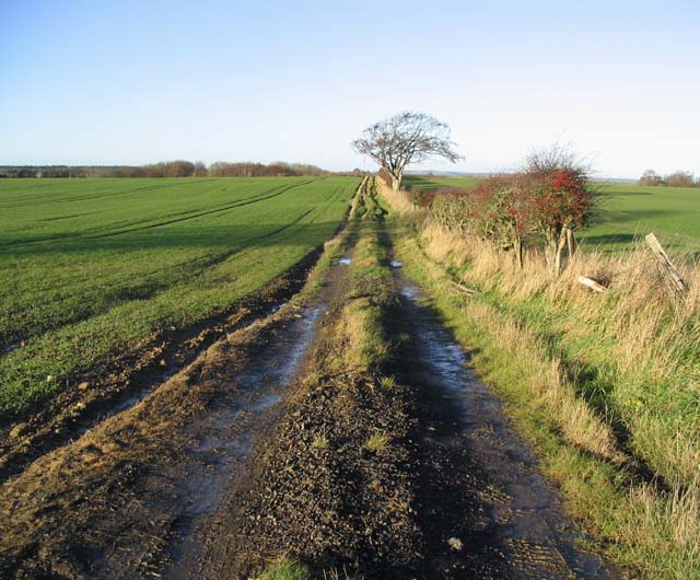
Due to its scenic location, Guinea Hill attracts hikers, nature enthusiasts, and photographers throughout the year. The hill is crisscrossed with well-maintained footpaths, allowing visitors to explore its slopes and enjoy the surrounding countryside. Guinea Hill offers a tranquil and serene environment, away from the hustle and bustle of urban life, making it a popular destination for those seeking a peaceful retreat in the heart of Northumberland's natural beauty.
If you have any feedback on the listing, please let us know in the comments section below.
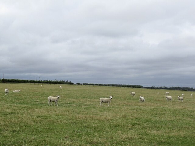
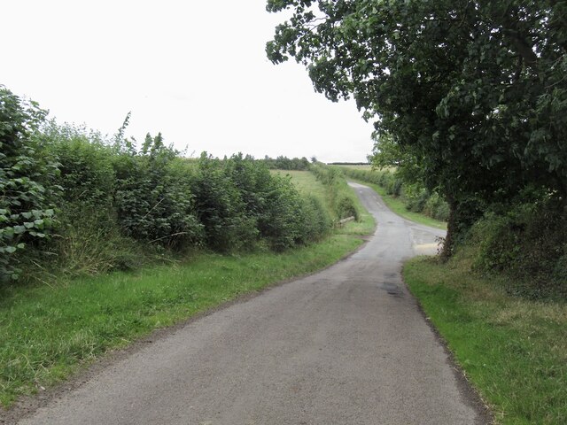
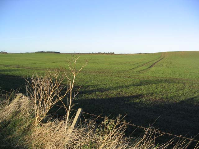
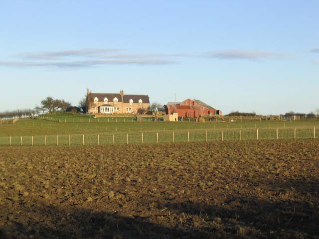
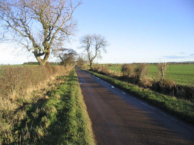
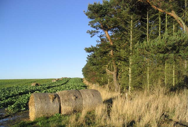
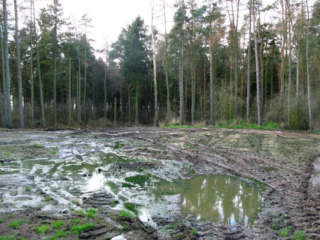
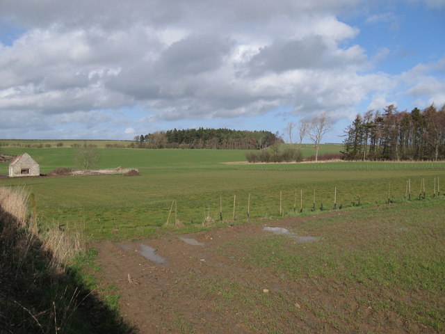
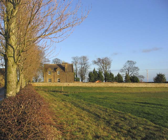
Guinea Hill Images
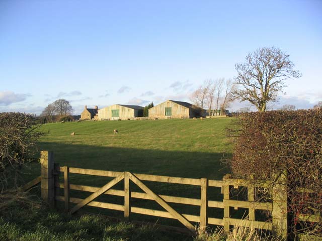
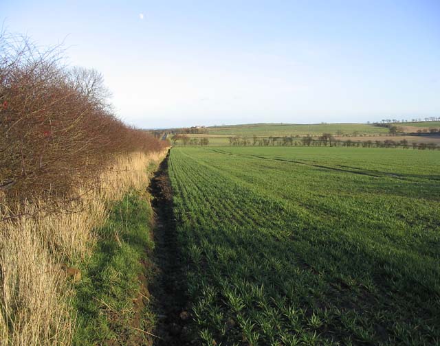
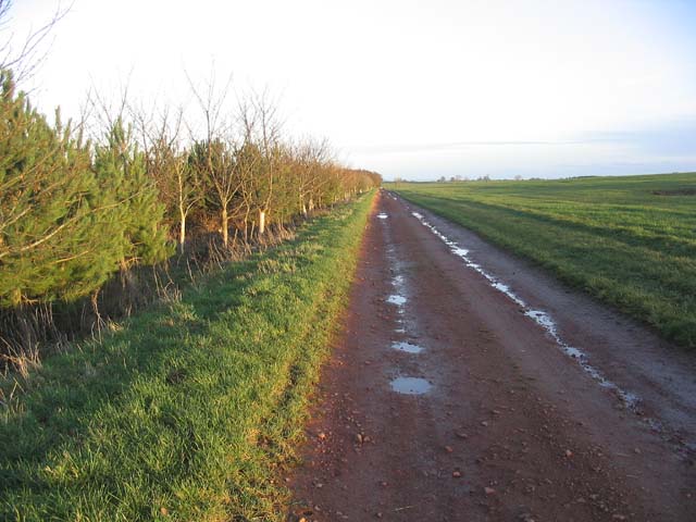
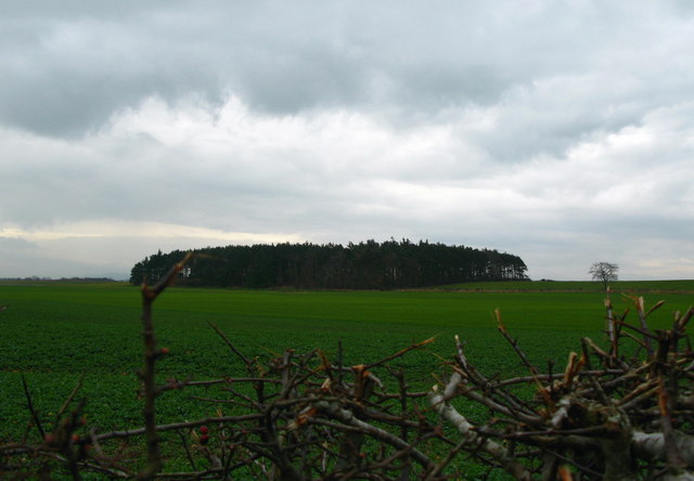
Images are sourced within 2km of 55.680554/-2.0586063 or Grid Reference NT9643. Thanks to Geograph Open Source API. All images are credited.


Guinea Hill is located at Grid Ref: NT9643 (Lat: 55.680554, Lng: -2.0586063)
Unitary Authority: Northumberland
Police Authority: Northumbria
What 3 Words
///incensed.hardback.yoga. Near Ancroft, Northumberland
Nearby Locations
Related Wikis

Berrington Lough Stadium
Berrington Lough Stadium also called the Berwick Motorcycle Centre was a purpose-built motorcycle speedway track located in Berrington Lough, a rural part...
Ancroft Northmoor
Ancroft Northmoor is a village in Northumberland, England. The population of the Civil Parish taken at the 2011 census was 895. == Governance == Ancroft...

Duddo Tower
Duddo Tower is a Scheduled Ancient Monument and a Grade II listed building comprising the ruinous remains of an ancient pele tower and 16th century tower...
Duddo
Duddo is a village and civil parish in Northumberland, about 8 miles (13 km) southwest of Berwick-upon-Tweed. == History == Duddo Five Stones is a stone...
Have you been to Guinea Hill?
Leave your review of Guinea Hill below (or comments, questions and feedback).