Stone Breaks Hill

Hill, Mountain in Yorkshire

England

Stone Breaks Hill

Houses on the A670 Mossley Road
Houses on the A670 Mossley Road Credit: Ian S

Stone Breaks Hill is a prominent geographical feature located in the county of Yorkshire, England. Situated near the town of Settle, it is a notable hill that forms part of the Pennine range, a series of upland hills and mountains that traverse the northern part of England.

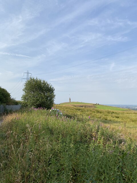
Rising to an elevation of approximately 454 meters (1,488 feet) above sea level, Stone Breaks Hill offers breathtaking panoramic views of the surrounding countryside, including the picturesque Yorkshire Dales National Park. Its summit provides an ideal vantage point for hikers, nature enthusiasts, and photographers to admire the stunning landscapes and capture the beauty of the area.

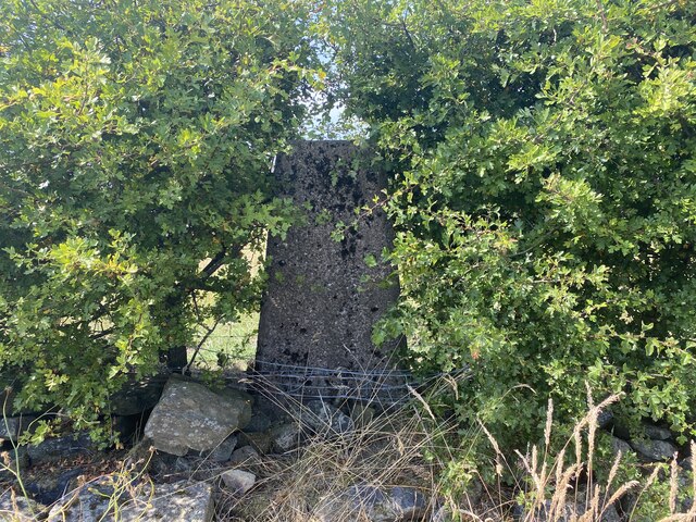
Characterized by its rugged and rocky terrain, Stone Breaks Hill is named after the abundance of large stones and boulders that litter its slopes. These stones, which have been weathered and eroded over millions of years, give the hill its distinctive appearance and add to its allure.

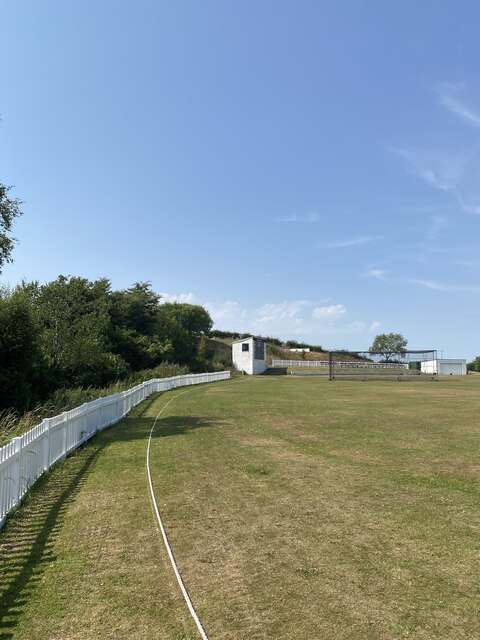
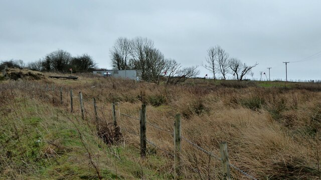
The hill is home to a diverse range of flora and fauna, including heather, bracken, and various species of birds, making it a haven for wildlife enthusiasts. It is also crisscrossed by a network of footpaths and trails, allowing visitors to explore its natural wonders and immerse themselves in the tranquility of the surrounding environment.

Stone Breaks Hill is a popular destination for outdoor activities such as hiking, hillwalking, and mountain biking. Its accessibility and proximity to Settle make it an attractive option for locals and tourists alike, seeking a taste of the rugged beauty that Yorkshire has to offer.

If you have any feedback on the listing, please let us know in the comments section below.

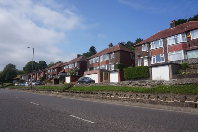
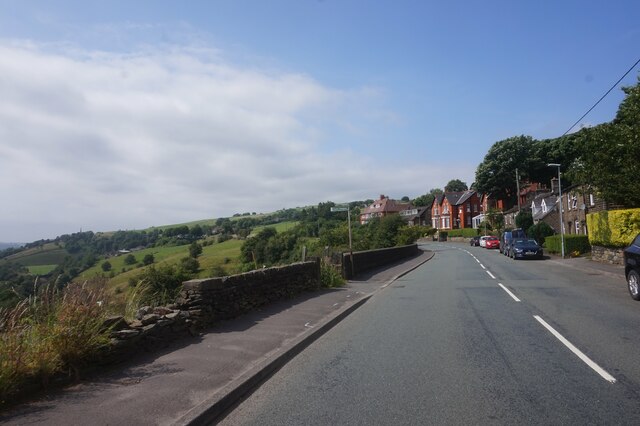
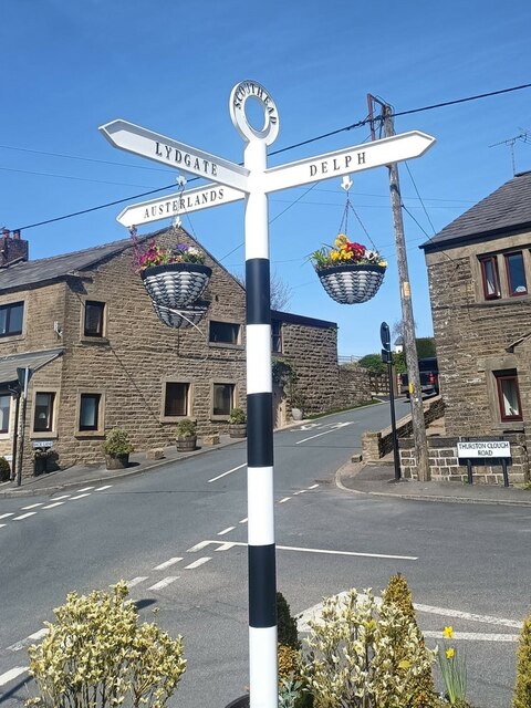
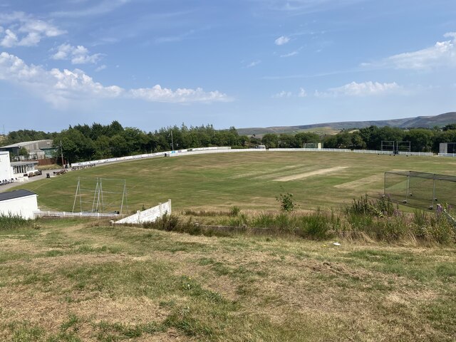
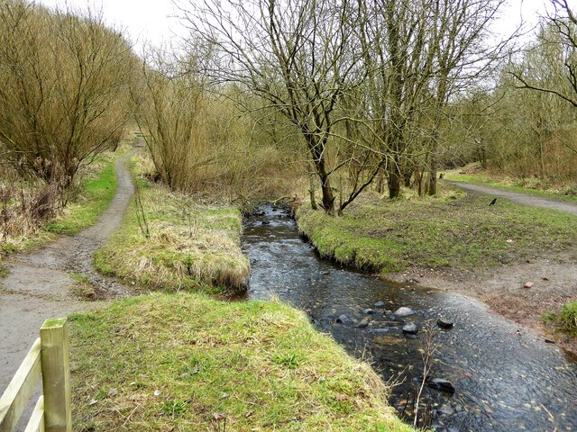
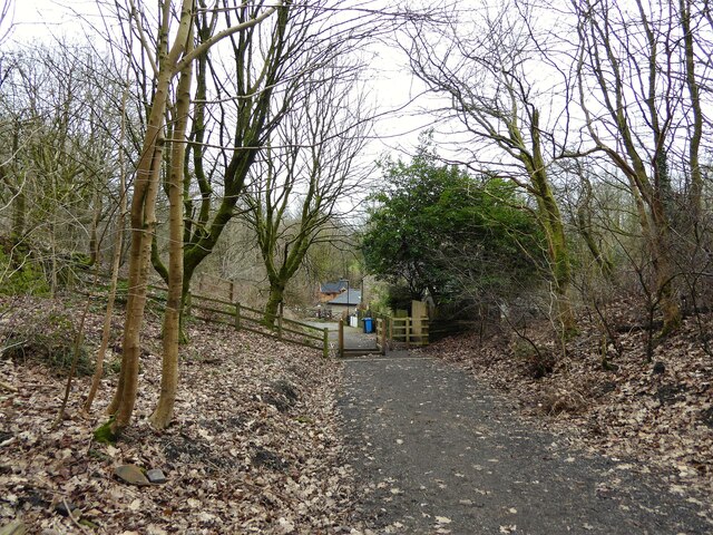
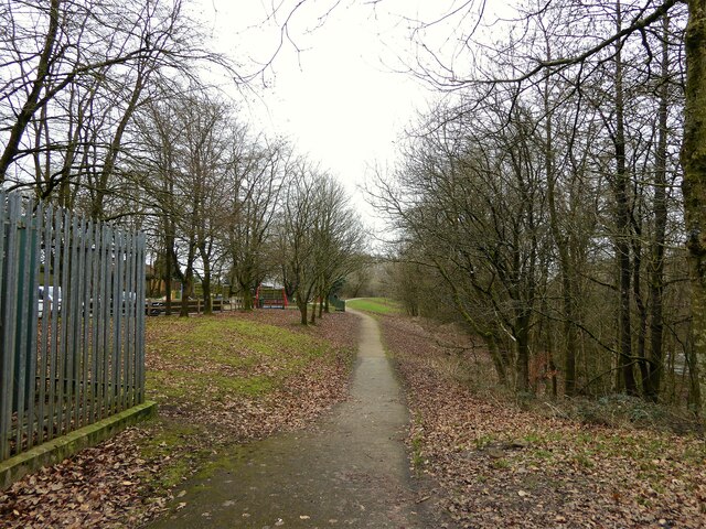
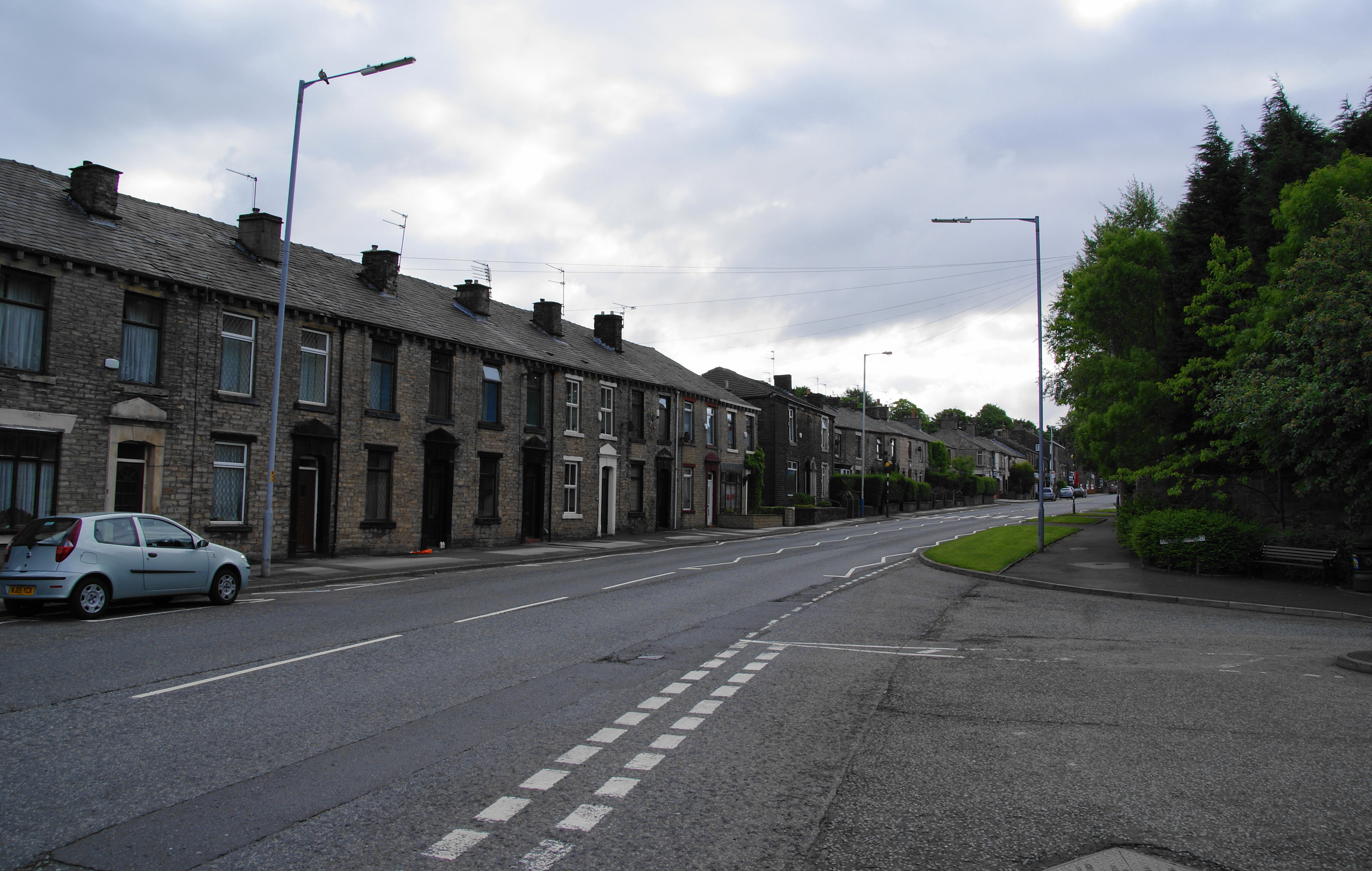
Stone Breaks Hill Images

Images are sourced within 2km of 53.54128/-2.0557184 or Grid Reference SD9604. Thanks to Geograph Open Source API. All images are credited.

Houses on the A670 Mossley Road
A670 Mossley Road towards Mossley
Mossley Road A670 at Grasscroft
Clough Lane off Mossley Road, Grasscroft
Direction Sign – Signpost at Scouthead in Saddleworth parish Located in Scouthead, on the southeast side of the crossroads of Back Lane, Thurston Clough Road, Thorpe Lane and Doctor Lane in Saddleworth parish. 3 arms and annulus finial. A metal replacement for <a title="https://www.geograph.org.uk/photo/5918932" href="https://www.geograph.org.uk/photo/5918932">Link</a> and <a title="https://www.geograph.org.uk/photo/2007544" href="https://www.geograph.org.uk/photo/2007544">Link</a>.

Milestone Society National ID: YW_SD9706R
Direction Sign – Signpost at Scouthead in Saddleworth parish
Located in Scouthead, on the southeast side of the crossroads of Back Lane, Thurston Clough Road, Thorpe Lane and Doctor Lane in Saddleworth parish. 3 arms and annulus finial. A metal replacement for Link and Link. Milestone Society National ID: YW_SD9706R
Old milestone Another of the late 19C West Riding CC milestones in Saddleworth.   Until the 1970s this area was in the West Riding of Yorkshire but now is Greater Manchester.   Although painted in 2010 the years of passing traffic have taken its toll, so now very rusty as well as ivy covered.

Milestone Society National ID: YW_SRAS04a
Old milestone
Another of the late 19C West Riding CC milestones in Saddleworth. Until the 1970s this area was in the West Riding of Yorkshire but now is Greater Manchester. Although painted in 2010 the years of passing traffic have taken its toll, so now very rusty as well as ivy covered. Milestone Society National ID: YW_SRAS04a
Old milestone Some of the ivy removed from the West Riding CC late 19C milestone on A670 Mossley Road in Saddleworth.   The white paint from 2010 has not survived but the black-painted legends are still clearly read.   The right face has mileages to Manchester (11 miles), Ashton (4¾) and Mossley (1¼).  The attachment was cast at the Brayshaw & Booth foundry in Liversedge and the milestone set up by the family firm of Gill Stead and Son of Mirfield.

Milestone Society National ID: YW_SRAS04a
Old milestone
Some of the ivy removed from the West Riding CC late 19C milestone on A670 Mossley Road in Saddleworth. The white paint from 2010 has not survived but the black-painted legends are still clearly read. The right face has mileages to Manchester (11 miles), Ashton (4¾) and Mossley (1¼). The attachment was cast at the Brayshaw & Booth foundry in Liversedge and the milestone set up by the family firm of Gill Stead and Son of Mirfield. Milestone Society National ID: YW_SRAS04a
Cricket Pitch
Cricket Pitch
Slack Hall Trig Point Flush Bracket S2785
Cricket Pitch
Cricket Pitch
Brown Edge Trig Point Flush Bracket S2784
Views towards Hartshead Pike Tower
Entrance to Highmoor Landfill Site A purpose built road for waste lorries has been built to the main A62 road at Scouthead to avoid the country lane routes to this former quarry
Entrance to Highmoor Landfill Site
A purpose built road for waste lorries has been built to the main A62 road at Scouthead to avoid the country lane routes to this former quarry
Warning flags flying Around Highmoor Clay pigeon Club viewed from Whitegates Lane
Warning flags flying
Around Highmoor Clay pigeon Club viewed from Whitegates Lane
Cycle path following route of former railway The path is approaching the former railway bridge at St. John Street which is one of the few not infilled on the route. The path runs from Oldham to Grotton along the former line to Greenfield.
Cycle path following route of former railway
The path is approaching the former railway bridge at St. John Street which is one of the few not infilled on the route. The path runs from Oldham to Grotton along the former line to Greenfield.
River Medlock at Lees View on the Medlock Valley Way from a footbridge
River Medlock at Lees
View on the Medlock Valley Way from a footbridge
The end of the cycle path View towards Old Mill Lane at Grotton. The cycle path has followed the route of the former Oldham to Greenfield railway but deviates here to join Old Mill Lane.
The end of the cycle path
View towards Old Mill Lane at Grotton. The cycle path has followed the route of the former Oldham to Greenfield railway but deviates here to join Old Mill Lane.
Route of former railway at Grotton View from the former Grotton Station towards Lees on the Greenfield to Oldham railway route. A cycle path exists on the Grotton to Oldham portion of the route.
Route of former railway at Grotton
View from the former Grotton Station towards Lees on the Greenfield to Oldham railway route. A cycle path exists on the Grotton to Oldham portion of the route.
Show me another place!

Stone Breaks Hill is located at Grid Ref: SD9604 (Lat: 53.54128, Lng: -2.0557184)

Division: West Riding

Unitary Authority: Oldham

Police Authority: Greater Manchester

What 3 Words

///cracks.prom.search. Near Mossley, Manchester

Related Wikis

Lees Urban District

Lees (or Lees Urban District) was from 1894 to 1974, a local government district in the administrative county of Lancashire, England. It was created an...

Springhead, Greater Manchester

Springhead is a suburban area in the civil parish of Saddleworth in the Metropolitan Borough of Oldham, in Greater Manchester, England. == Description... ==

Austerlands

Austerlands is a suburban area of Saddleworth, a civil parish within the Metropolitan Borough of Oldham, in Greater Manchester, England. It occupies a...

Grotton and Springhead railway station

Grotton and Springhead railway station served the villages of Grotton and Springhead from 1856 until 1955. == History == The London and North Western Railway...

Nearby Amenities

Located within 500m of 53.54128,-2.0557184
Traffic Signals
Source: survey
Lat/Long: 53.5376501/-2.0541621
Noexit: yes
Lat/Long: 53.5396847/-2.0519375
Noexit: yes
Lat/Long: 53.539313/-2.0529355
Noexit: yes
Lat/Long: 53.5380857/-2.055832
Noexit: yes
Lat/Long: 53.5386673/-2.0599154
Noexit: yes
Lat/Long: 53.5377268/-2.0579012
Noexit: yes
Lat/Long: 53.5378782/-2.0594646
Noexit: yes
Lat/Long: 53.5399069/-2.0608534
Noexit: yes
Lat/Long: 53.5394664/-2.0609669
Turning Circle
Lat/Long: 53.5418445/-2.0620005
Turning Circle
Lat/Long: 53.5445926/-2.0599464
Speed Camera
Direction: 300
Maxspeed: 30 mph
Lat/Long: 53.5374982/-2.0528201
Generator Method: photovoltaic
Generator Output Electricity: yes
Generator Source: solar
Generator Type: solar_photovoltaic_panel
Location: roof
Power: generator
Lat/Long: 53.5421379/-2.059849
Generator Method: photovoltaic
Generator Output Electricity: yes
Generator Source: solar
Generator Type: solar_photovoltaic_panel
Location: roof
Power: generator
Lat/Long: 53.538415/-2.0514469
Generator Method: photovoltaic
Generator Output Electricity: yes
Generator Source: solar
Generator Type: solar_photovoltaic_panel
Location: roof
Power: generator
Lat/Long: 53.5389362/-2.0503874
Generator Method: photovoltaic
Generator Output Electricity: yes
Generator Source: solar
Generator Type: solar_photovoltaic_panel
Location: roof
Power: generator
Lat/Long: 53.5391753/-2.0542766
Generator Method: photovoltaic
Generator Output Electricity: yes
Generator Source: solar
Generator Type: solar_photovoltaic_panel
Location: roof
Power: generator
Lat/Long: 53.5373343/-2.0566718
Generator Method: photovoltaic
Generator Output Electricity: yes
Generator Source: solar
Generator Type: solar_photovoltaic_panel
Location: roof
Power: generator
Lat/Long: 53.5406869/-2.0594428
Generator Method: photovoltaic
Generator Output Electricity: yes
Generator Source: solar
Generator Type: solar_photovoltaic_panel
Location: roof
Power: generator
Lat/Long: 53.5456167/-2.0568305
Generator Method: photovoltaic
Generator Output Electricity: yes
Generator Source: solar
Generator Type: solar_photovoltaic_panel
Location: roof
Power: generator
Lat/Long: 53.5370847/-2.0566803
Generator Method: photovoltaic
Generator Output Electricity: yes
Generator Source: solar
Generator Type: solar_photovoltaic_panel
Location: roof
Power: generator
Lat/Long: 53.5369603/-2.0570035
Bus Stop
Grotton, Oldham Road / opposite Brooklands Parade
Bus: yes
Naptan AtcoCode: 1800ED30761
Naptan NaptanCode: MANATMWM
Network: TfGM
Operator: TfGM
Public Transport: platform
Shelter: yes
Lat/Long: 53.5375681/-2.054901
Bench
Material: wood
Lat/Long: 53.5374819/-2.0554798
Bench
Material: wood
Lat/Long: 53.5375163/-2.0554903
Bench
Material: wood
Lat/Long: 53.5374757/-2.0555866
Waste Basket
Lat/Long: 53.5375071/-2.0557495
Material: wood
Power: pole
Lat/Long: 53.5391035/-2.0493445
Material: wood
Power: pole
Lat/Long: 53.5397039/-2.0492469
Material: wood
Power: pole
Lat/Long: 53.540303/-2.0491676
Line Management: branch
Material: wood
Power: pole
Lat/Long: 53.5407814/-2.0491209
Material: wood
Power: pole
Lat/Long: 53.5413841/-2.0490294
Material: wood
Power: pole
Lat/Long: 53.5421017/-2.0489298
Material: wood
Power: pole
Lat/Long: 53.5429991/-2.0488241
Communication Mobile Phone: yes
Man Made: mast
Tower Type: communication
Lat/Long: 53.5399117/-2.0496125
Power: pole
Lat/Long: 53.5405501/-2.051867
Power: pole
Lat/Long: 53.5404519/-2.053236
Power: pole
Lat/Long: 53.540667/-2.0505031
Defibrillator
Access: yes
Defibrillator Location: on wall at right hand side of main entrance
Description: AED
Emergency: defibrillator
Indoor: no
Lat/Long: 53.5378284/-2.0549501
Turning Circle
Lat/Long: 53.5393125/-2.0622954
Bus Stop
Springhead, Oldham Road / near Cooper Street
Bus: yes
Network: TfGM
Operator: TfGM
Public Transport: platform
Lat/Long: 53.537435/-2.05803
Bus Stop
Grotton, Oldham Road / near Brooklands Parade
Bus: yes
Network: TfGM
Operator: TfGM
Public Transport: platform
Lat/Long: 53.5377129/-2.0537986
Bus Stop
Springhead, Oldham Road / near Old Mill Lane
Bus: yes
Naptan AtcoCode: 1800ED30771
Naptan NaptanCode: MANATMWP
Network: TfGM
Operator: TfGM
Public Transport: platform
Lat/Long: 53.5373401/-2.0576326
Bus Stop
Springhead, southbound Cooper Street
Bus: yes
Network: TfGM
Operator: TfGM
Public Transport: platform
Lat/Long: 53.5422119/-2.0595224
Bus Stop
Springhead, SW-bound Walkers Lane
Bus: yes
Network: TfGM
Operator: TfGM
Public Transport: platform
Lat/Long: 53.538545/-2.0609624
Noexit: yes
Lat/Long: 53.5446131/-2.0536682
Bus Stop
Springhead, NW-bound Cooper Street
Bus: yes
Network: TfGM
Operator: TfGM
Public Transport: platform
Lat/Long: 53.5382653/-2.0590243
Bus Stop
Springhead, northbound Cooper Street
Bus: yes
Network: TfGM
Operator: TfGM
Public Transport: platform
Lat/Long: 53.5422021/-2.0596557
Entrance: main
Lat/Long: 53.5378271/-2.0550143
Power: pole
Lat/Long: 53.5432898/-2.0497624
Power: pole
Lat/Long: 53.5435559/-2.0507825
Power: pole
Lat/Long: 53.5437808/-2.0514935
The data included in this document is from www.openstreetmap.org. The data is made available under ODbL.

Have you been to Stone Breaks Hill?

Leave your review of Stone Breaks Hill below (or comments, questions and feedback).