Reahope Moor
Downs, Moorland in Durham
England
Reahope Moor
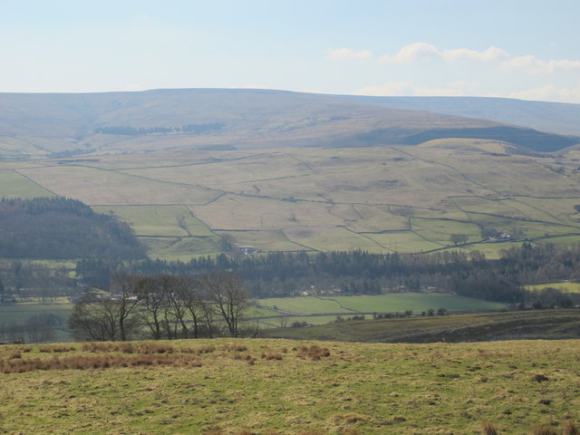
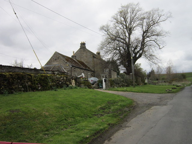
Reahope Moor, located in Durham, is a picturesque area known for its sprawling downs and moorland. Spanning approximately 200 acres, this stunning landscape offers visitors a unique blend of rugged beauty and tranquility.
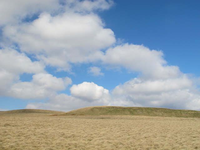
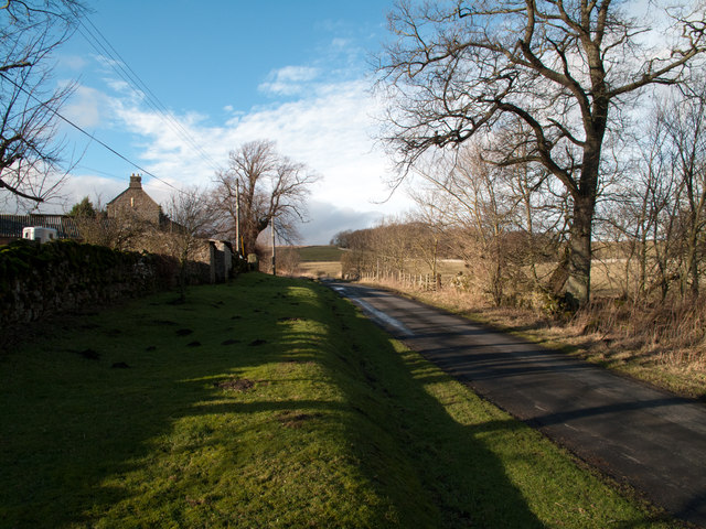
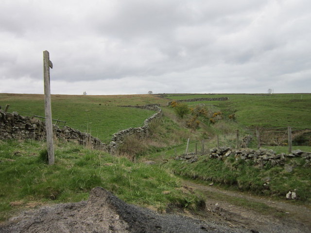
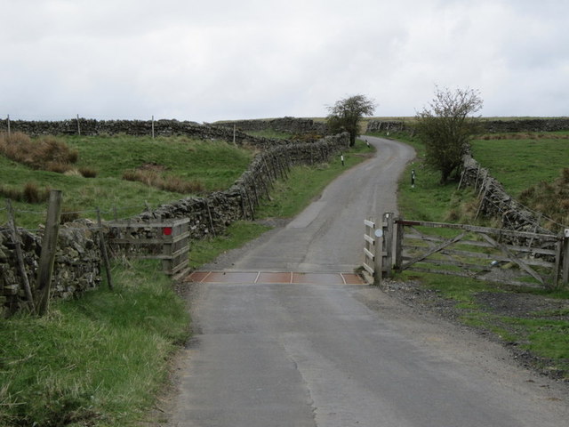
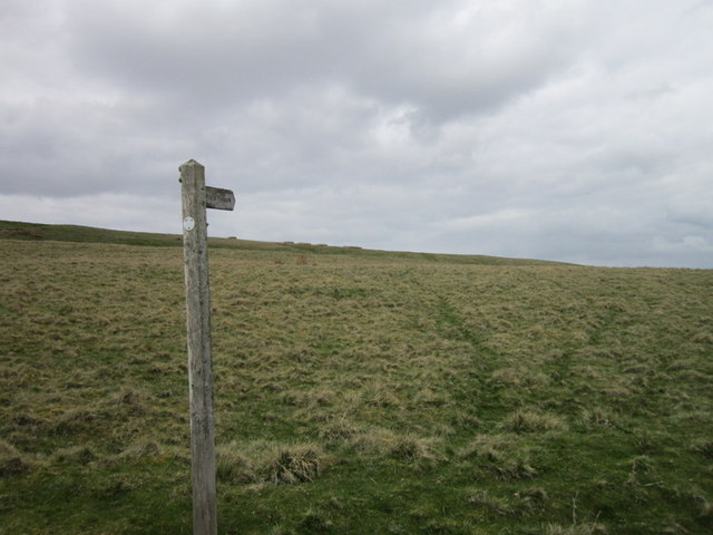
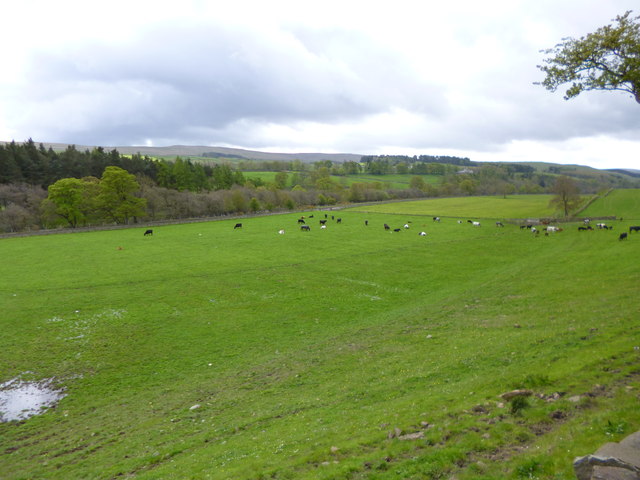
The moorland of Reahope Moor is characterized by its vast expanses of heather, which create a striking purple carpet during the summer months. Visitors can explore the area via a network of well-maintained footpaths that meander through the moor, providing breathtaking panoramic views of the surrounding countryside.
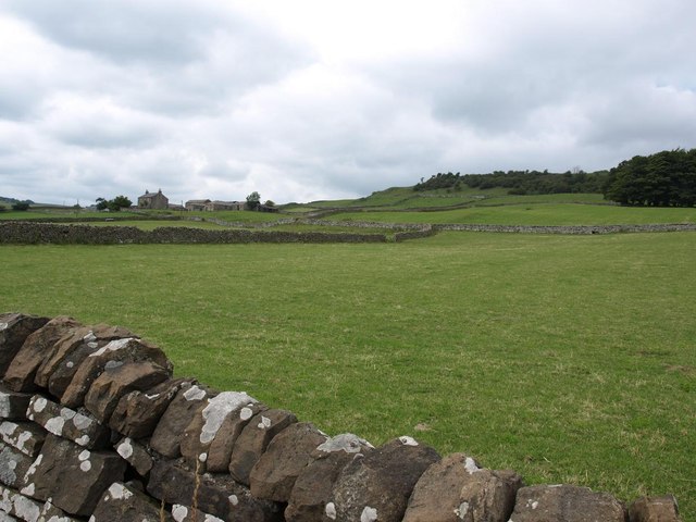
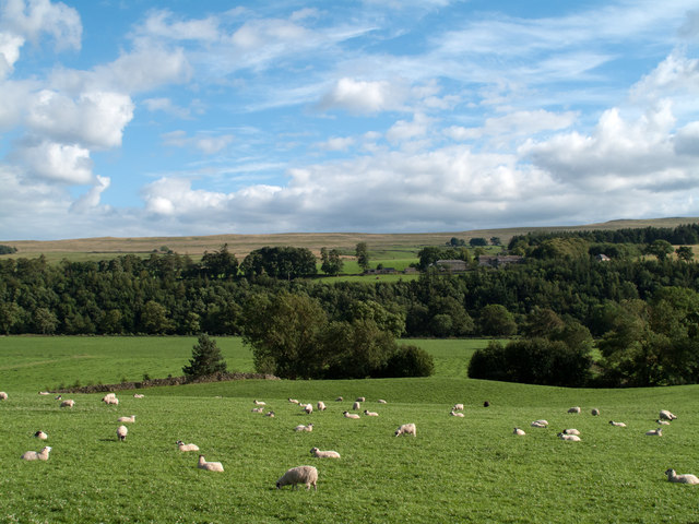
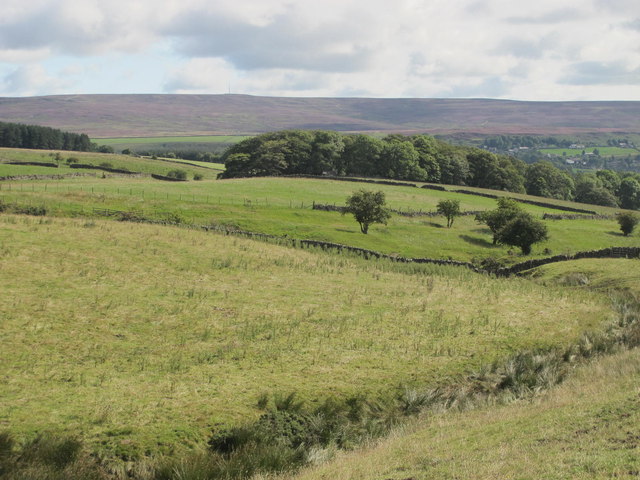
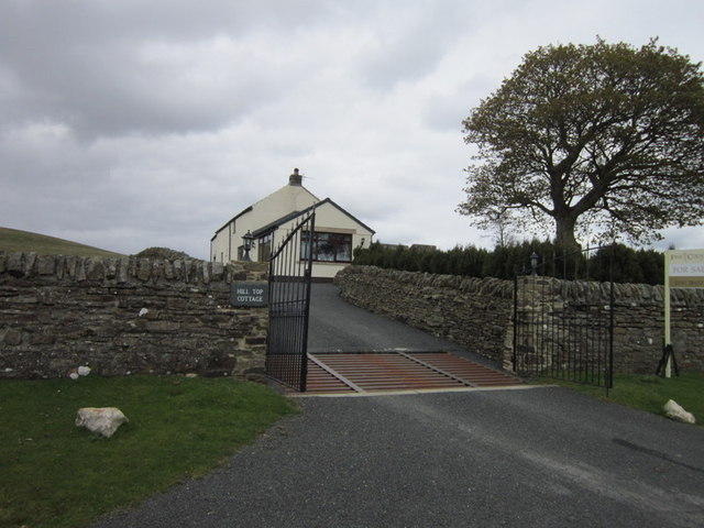
The downs of Reahope Moor offer a stark contrast to the moorland, with their gently rolling hills and lush grasslands. These downs are home to a diverse range of flora and fauna, making it a haven for nature enthusiasts. Birdwatchers, in particular, will be delighted by the abundance of avian species, including several rare and endangered ones.
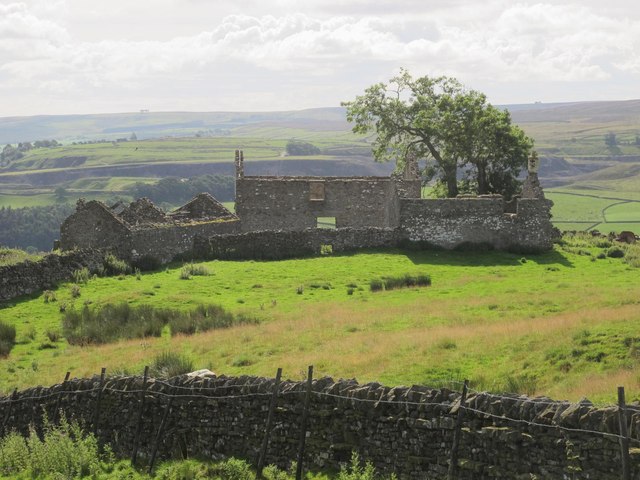
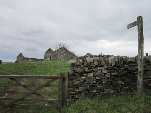
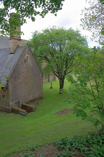
Reahope Moor is also steeped in history, with ancient remains scattered throughout the area. Archaeological sites such as burial mounds and stone circles provide glimpses into the lives of the prehistoric communities that once inhabited this land.
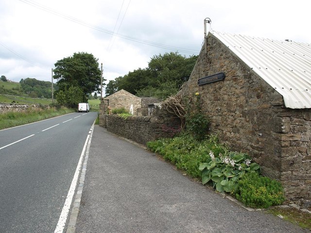
Furthermore, the moorland and downs of Reahope Moor offer various recreational activities for visitors. Hiking and walking trails cater to all levels of fitness, while picnicking spots provide a perfect setting for a relaxed afternoon amidst nature. Additionally, the moorland is a popular spot for outdoor enthusiasts, offering opportunities for camping, stargazing, and even wildlife spotting.
Overall, Reahope Moor in Durham is a captivating landscape that entices visitors with its rugged beauty, rich history, and diverse range of activities. Whether one seeks solitude in nature or an adventure-filled day, this area has something to offer for everyone.
If you have any feedback on the listing, please let us know in the comments section below.
Reahope Moor Images
Images are sourced within 2km of 54.760099/-2.0591433 or Grid Reference NY9640. Thanks to Geograph Open Source API. All images are credited.
Reahope Moor is located at Grid Ref: NY9640 (Lat: 54.760099, Lng: -2.0591433)
Unitary Authority: County Durham
Police Authority: Durham
What 3 Words
///stung.hampers.wheels. Near Stanhope, Co. Durham
Nearby Locations
Related Wikis

Rookhope
Rookhope is a village in the civil parish of Stanhope, in County Durham, England. A former lead and fluorspar mining community, it first existed as a group...

Eastgate, County Durham
Eastgate is a village in the civil parish of Stanhope, in County Durham, England. It is situated in Weardale, a few miles west of Stanhope. In the 2001...

Eastgate railway station
Eastgate railway station, also known as Eastgate-in-Weardale, served the village of Eastgate in County Durham, North East England from 1895 to 1953 as...

Horsley Hall
Horsley Hall is a 17th-century country house, now in use as a hotel, near Stanhope, County Durham, England. It is a Grade II listed building. The manor...

Greenfoot Quarry
Greenfoot Quarry is a Site of Special Scientific Interest in the Wear Valley district of west County Durham, England. It is a disused quarry, situated...

Heathery Burn Cave
Heathery Burn Cave is a cave near Stanhope, County Durham, England, in which a large collection of Late Bronze Age weapons and tools was discovered and...

Crawley railway station (Durham)
Crawley railway station served the village of Crawleyside, County Durham, England, from 1845 to 1846 on the Stanhope and Tyne Railway. == History == The...

Crawleyside
Crawleyside is a village in the civil parish of Stanhope, in County Durham, England. It is situated to the north of Stanhope, in Weardale. In the 2001...
Nearby Amenities
Located within 500m of 54.760099,-2.0591433Have you been to Reahope Moor?
Leave your review of Reahope Moor below (or comments, questions and feedback).