Coney Seat Hill

Hill, Mountain in Yorkshire Richmondshire

England

Coney Seat Hill

Beck Crooks Ford This ford is found on Beck Crooks.
Beck Crooks Ford Credit: John Walton

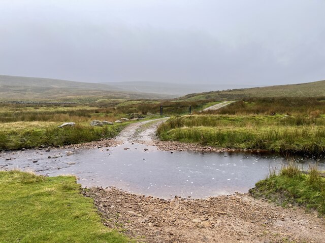
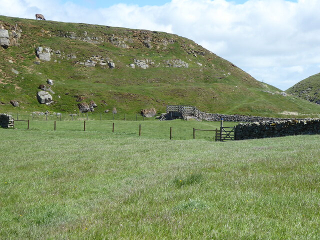
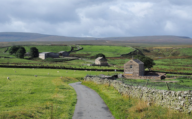
Coney Seat Hill, located in the Yorkshire Dales National Park in Yorkshire, England, is a prominent hill that forms part of the Pennine Range. Standing at an elevation of 415 meters (1,362 feet), it offers breathtaking panoramic views of the surrounding countryside, making it a popular destination for hikers and nature enthusiasts.

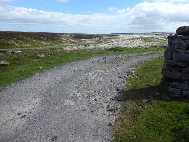
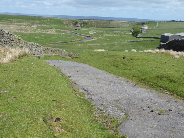
The hill is characterized by its gentle slopes and grassy terrain, making it relatively easy to ascend and navigate. At the summit, visitors are rewarded with spectacular vistas of the rolling hills, valleys, and charming villages that dot the landscape. On clear days, it is possible to see as far as the North Sea and the Yorkshire Moors.

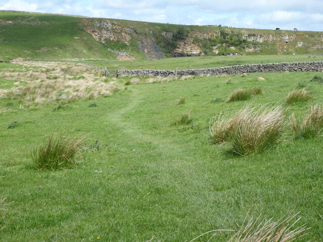
Coney Seat Hill is also known for its rich biodiversity. The hill is home to a variety of plant and animal species, including heather, bilberry, and cotton grass. The diverse habitats found on the hill support a range of wildlife, such as red grouse, curlews, and hares. Birdwatchers flock to the area to spot rare species, including the ring ouzel and the peregrine falcon.

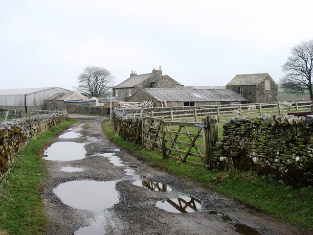
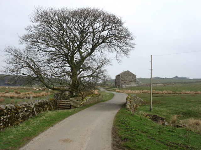
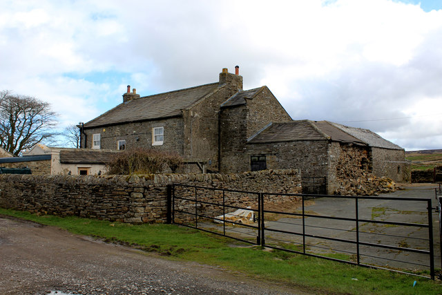
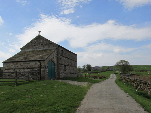
Several walking trails and footpaths traverse Coney Seat Hill, offering visitors the opportunity to explore its natural beauty. The hill is easily accessible from nearby villages and towns, with parking areas and information boards available for visitors. Whether it is for a leisurely stroll or a challenging hike, Coney Seat Hill provides a captivating experience for those seeking to immerse themselves in Yorkshire's stunning countryside.

If you have any feedback on the listing, please let us know in the comments section below.

Coney Seat Hill Images

Images are sourced within 2km of 54.474162/-2.0710423 or Grid Reference NY9508. Thanks to Geograph Open Source API. All images are credited.

Beck Crooks Ford This ford is found on Beck Crooks.
Beck Crooks Ford
This ford is found on Beck Crooks.
The Pennine Way near Sleightholme Moor Road
The Pennine Way on Sleightholme Moor Road
The Pennine Way near Sleightholme Farm
The Pennine Way near Jack Shields Bridge
The Pennine Way near Intake Bridge
Sleightholme Farm The Pennine Way passes along this track.
Sleightholme Farm
The Pennine Way passes along this track.
Kingdom Lodge, Sleightholme Bar Gap Farm is on the horizon to the right. The lane runs to Gilmonby and Bowes.
Kingdom Lodge, Sleightholme
Bar Gap Farm is on the horizon to the right. The lane runs to Gilmonby and Bowes.
Intake Bridge Footbridge that carries the Pennine Way over Sleightholme Beck, below the exposed sandstone of Bog Scar
Intake Bridge
Footbridge that carries the Pennine Way over Sleightholme Beck, below the exposed sandstone of Bog Scar
Bog Scar As seen from the Pennine Way on Intake Bridge - heavy exposure of sandstone above Sleighthome Beck
Bog Scar
As seen from the Pennine Way on Intake Bridge - heavy exposure of sandstone above Sleighthome Beck
Sleightholme Farm For northbound Pennine Way walkers this comes as a welcome relief - being the first sign of civilisation since the long trek from Tan Hill Inn.
Sleightholme Farm
For northbound Pennine Way walkers this comes as a welcome relief - being the first sign of civilisation since the long trek from Tan Hill Inn.
Buildings at Sleightholme The most distant is Sleightholme Farm, the two nearer buildings are both barn conversions; the middle one is Kingdom Lodge, the nearer barn is a recent development.
Buildings at Sleightholme
The most distant is Sleightholme Farm, the two nearer buildings are both barn conversions; the middle one is Kingdom Lodge, the nearer barn is a recent development.
Bog Scar Bog Scar is on the north side of Sleightholme Beck; it's seen here from a footbridge over that river which carries a public footpath, also the route of the Pennine Way.
Bog Scar
Bog Scar is on the north side of Sleightholme Beck; it's seen here from a footbridge over that river which carries a public footpath, also the route of the Pennine Way.
Bog Scar Viewed from Intake Bridge.
Bog Scar
Viewed from Intake Bridge.
Bog Tarn Bog Tarn: so unattractively yet so appositely named! The pool is on an almost flat tract of moorland and there the water table simply reaches the land surface and so the tarn... and so also the surrounding bog and rushes.
In the distance, to the right, rises the shallow cone of Citron Seat with, to the left, can you believe it, the feature named on maps as 'Seven Hills'.
Bog Tarn
Bog Tarn: so unattractively yet so appositely named! The pool is on an almost flat tract of moorland and there the water table simply reaches the land surface and so the tarn... and so also the surrounding bog and rushes. In the distance, to the right, rises the shallow cone of Citron Seat with, to the left, can you believe it, the feature named on maps as 'Seven Hills'.
Farm buildings at Bar Gap The name Bar Gap has almost a 'Western' ring to it! These buildings however are not in Arizona but at the farm of that name, west of Sleightholme Beck, a tributary of the River Greta. The view is from the minor road close to the farm, at a cattle grid.
Farm buildings at Bar Gap
The name Bar Gap has almost a 'Western' ring to it! These buildings however are not in Arizona but at the farm of that name, west of Sleightholme Beck, a tributary of the River Greta. The view is from the minor road close to the farm, at a cattle grid.
Kingdom Lodge. On the road to Sleightholme Farm.
Kingdom Lodge.
On the road to Sleightholme Farm.
Sleightholme Beck The view upstream from the Pennine Way path over a deeply incised meander on the beck, and towards the buildings of Sleightholme Farm.
Sleightholme Beck
The view upstream from the Pennine Way path over a deeply incised meander on the beck, and towards the buildings of Sleightholme Farm.
Show me another place!

Coney Seat Hill is located at Grid Ref: NY9508 (Lat: 54.474162, Lng: -2.0710423)

Division: North Riding

Administrative County: North Yorkshire

District: Richmondshire

Police Authority: North Yorkshire

What 3 Words

///vibrates.runners.consoled. Near Bowes, Co. Durham

Related Wikis

Sleightholme

Sleightholme is a secluded hamlet on a dead end road in County Durham, England. It lies beside Sleightholme Beck, a tributary of the River Greta. The...

Walney to Wear and Whitby Cycle Route

The Walney to Wear and Whitby Cycle Route (or W2W) is the name of a cross-country cycle route in Northern England. It runs from Walney Island in Cumbria...

National Cycle Route 70

National Cycle Network (NCN) Route 70 is a Sustrans National Route that runs from Walney Island in Cumbria to Sunderland. The route is fully open and signed...

Sleightholme Beck Gorge – The Troughs

Sleightholme Beck Gorge – The Troughs is a Site of Special Scientific Interest in the County Durham district of south-west County Durham, England. The...

Bowes Moor

Bowes Moor is a Site of Special Scientific Interest in the County Durham district in south-west County Durham, England. It is an extensive area of moorland...

Arkengarthdale

Arkengarthdale is a dale, or valley, on the east side of the Pennines in North Yorkshire, England. Running roughly north-west to south-east, it is the...

God's Bridge

God's Bridge is a Site of Special Scientific Interest in the County Durham district of south-west County Durham, England. It is a natural limestone bridge...

Whaw

Whaw is a hamlet in Arkengarthdale in North Yorkshire, England. It is one of few settlements in the dale and is one of the smallest. Its name derives from...

Nearby Amenities

Located within 500m of 54.474162,-2.0710423
Coney Seat Hill
Is In County: North Yorkshire
Is In Historic County: Yorkshire
Natural: peak
Source: NPE
Lat/Long: 54.4757496/-2.0700639
Rushy Moor
Place: locality
Lat/Long: 54.4727562/-2.0751254
Adjustment Bottom
Place: locality
Lat/Long: 54.4710996/-2.0708861
The data included in this document is from www.openstreetmap.org. The data is made available under ODbL.

Have you been to Coney Seat Hill?

Leave your review of Coney Seat Hill below (or comments, questions and feedback).