Rushy Moor

Downs, Moorland in Yorkshire

England

Rushy Moor

Beck Crooks Ford This ford is found on Beck Crooks.
Beck Crooks Ford Credit: John Walton

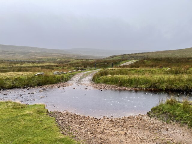
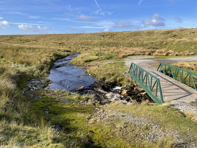
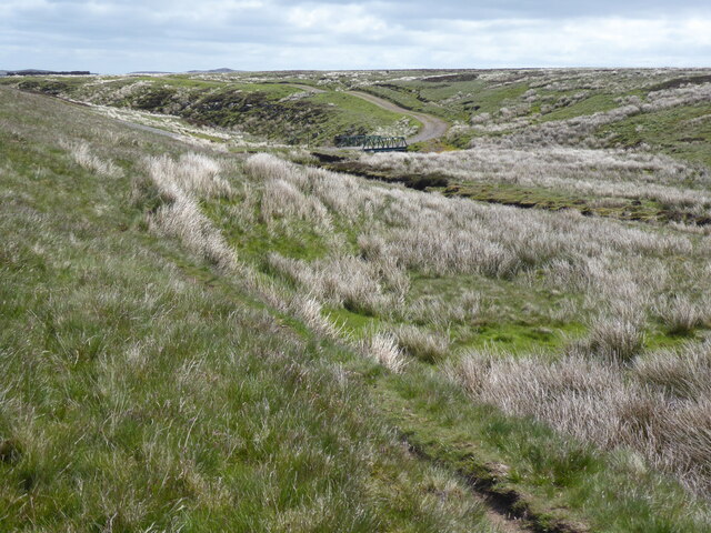
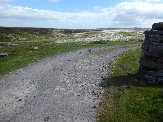
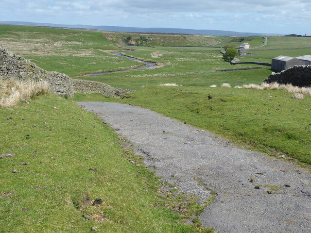
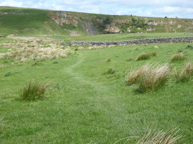
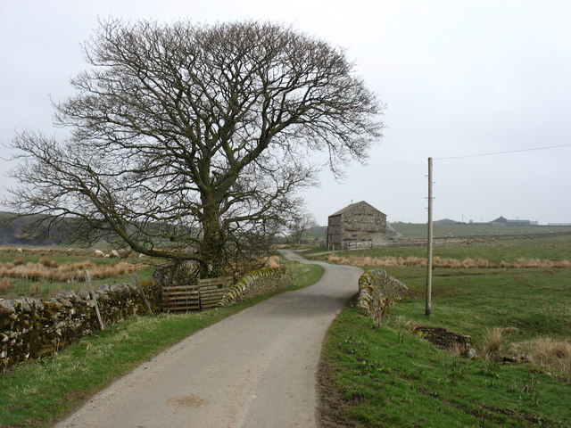
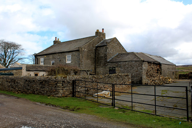
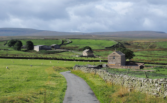
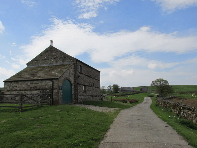
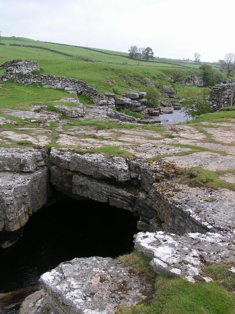
Rushy Moor is a captivating expanse of moorland situated in the Yorkshire Downs, England. Stretching across an area of approximately 1,500 acres, it is renowned for its breathtaking natural beauty and diverse ecosystem. Located near the village of Hutton-le-Hole, Rushy Moor is a popular destination for nature enthusiasts, hikers, and wildlife observers.

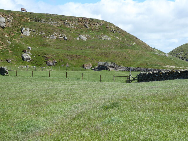
Characterized by its rolling hills, heather-covered landscapes, and dense vegetation, Rushy Moor offers a tranquil and picturesque setting. The moorland is dotted with numerous small ponds, known as tarns, which are home to a variety of plant and animal species. It is particularly famous for its vibrant display of purple heather blooms during the late summer months, creating a stunning visual spectacle.

The area is home to a diverse range of wildlife, including various bird species such as curlews, lapwings, and red grouse. Visitors may also catch a glimpse of mammals like hares, foxes, and stoats. Throughout the year, Rushy Moor attracts birdwatchers, who flock to witness the migration of rare bird species passing through the area.

For outdoor enthusiasts, Rushy Moor offers an extensive network of walking trails that allow visitors to explore its vast expanses. The trails wind through the moorland, offering stunning panoramic views of the surrounding countryside. The peaceful atmosphere and untouched beauty of Rushy Moor make it an ideal destination for those seeking a tranquil escape from the bustle of everyday life.

In conclusion, Rushy Moor is a captivating and ecologically diverse moorland located in the Yorkshire Downs. With its beautiful landscapes, abundant wildlife, and peaceful ambiance, it is a must-visit destination for nature lovers and outdoor enthusiasts alike.

If you have any feedback on the listing, please let us know in the comments section below.

Rushy Moor Images

Images are sourced within 2km of 54.47389/-2.074915 or Grid Reference NY9508. Thanks to Geograph Open Source API. All images are credited.

Beck Crooks Ford This ford is found on Beck Crooks.
Beck Crooks Ford
This ford is found on Beck Crooks.
Frumming Beck Ford This ford on the Frumming Beck is found at the point where the Pennine Way leaves the estate road. The other three fords shown on the OS map at Dry Gill have now been replaced by identical bridges to the one shown in this image.
Frumming Beck Ford
This ford on the Frumming Beck is found at the point where the Pennine Way leaves the estate road. The other three fords shown on the OS map at Dry Gill have now been replaced by identical bridges to the one shown in this image.
The Pennine Way near Cocker Hag
The Pennine Way near Sleightholme Moor Road
The Pennine Way on Sleightholme Moor Road
The Pennine Way near Sleightholme Farm
The Pennine Way near Jack Shields Bridge
The Pennine Way near Intake Bridge
Sleightholme Farm The Pennine Way passes along this track.
Sleightholme Farm
The Pennine Way passes along this track.
Kingdom Lodge, Sleightholme Bar Gap Farm is on the horizon to the right. The lane runs to Gilmonby and Bowes.
Kingdom Lodge, Sleightholme
Bar Gap Farm is on the horizon to the right. The lane runs to Gilmonby and Bowes.
Intake Bridge Footbridge that carries the Pennine Way over Sleightholme Beck, below the exposed sandstone of Bog Scar
Intake Bridge
Footbridge that carries the Pennine Way over Sleightholme Beck, below the exposed sandstone of Bog Scar
Bog Scar As seen from the Pennine Way on Intake Bridge - heavy exposure of sandstone above Sleighthome Beck
Bog Scar
As seen from the Pennine Way on Intake Bridge - heavy exposure of sandstone above Sleighthome Beck
Sleightholme Farm For northbound Pennine Way walkers this comes as a welcome relief - being the first sign of civilisation since the long trek from Tan Hill Inn.
Sleightholme Farm
For northbound Pennine Way walkers this comes as a welcome relief - being the first sign of civilisation since the long trek from Tan Hill Inn.
Buildings at Sleightholme The most distant is Sleightholme Farm, the two nearer buildings are both barn conversions; the middle one is Kingdom Lodge, the nearer barn is a recent development.
Buildings at Sleightholme
The most distant is Sleightholme Farm, the two nearer buildings are both barn conversions; the middle one is Kingdom Lodge, the nearer barn is a recent development.
Bog Scar Bog Scar is on the north side of Sleightholme Beck; it's seen here from a footbridge over that river which carries a public footpath, also the route of the Pennine Way.
Bog Scar
Bog Scar is on the north side of Sleightholme Beck; it's seen here from a footbridge over that river which carries a public footpath, also the route of the Pennine Way.
Bog Scar Viewed from Intake Bridge.
Bog Scar
Viewed from Intake Bridge.
Bog Tarn Bog Tarn: so unattractively yet so appositely named! The pool is on an almost flat tract of moorland and there the water table simply reaches the land surface and so the tarn... and so also the surrounding bog and rushes.
In the distance, to the right, rises the shallow cone of Citron Seat with, to the left, can you believe it, the feature named on maps as 'Seven Hills'.
Bog Tarn
Bog Tarn: so unattractively yet so appositely named! The pool is on an almost flat tract of moorland and there the water table simply reaches the land surface and so the tarn... and so also the surrounding bog and rushes. In the distance, to the right, rises the shallow cone of Citron Seat with, to the left, can you believe it, the feature named on maps as 'Seven Hills'.
Kingdom Lodge. On the road to Sleightholme Farm.
Kingdom Lodge.
On the road to Sleightholme Farm.
Show me another place!

Rushy Moor is located at Grid Ref: NY9508 (Lat: 54.47389, Lng: -2.074915)

Division: North Riding

Unitary Authority: County Durham

Police Authority: Durham

What 3 Words

///deflection.fastening.campsites. Near Bowes, Co. Durham

Related Wikis

Sleightholme

Sleightholme is a secluded hamlet on a dead end road in County Durham, England. It lies beside Sleightholme Beck, a tributary of the River Greta. The...

Walney to Wear and Whitby Cycle Route

The Walney to Wear and Whitby Cycle Route (or W2W) is the name of a cross-country cycle route in Northern England. It runs from Walney Island in Cumbria...

National Cycle Route 70

National Cycle Network (NCN) Route 70 is a Sustrans National Route that runs from Walney Island in Cumbria to Sunderland. The route is fully open and signed...

Bowes Moor

Bowes Moor is a Site of Special Scientific Interest in the County Durham district in south-west County Durham, England. It is an extensive area of moorland...

Sleightholme Beck Gorge – The Troughs

Sleightholme Beck Gorge – The Troughs is a Site of Special Scientific Interest in the County Durham district of south-west County Durham, England. The...

Arkengarthdale

Arkengarthdale is a dale, or valley, on the east side of the Pennines in North Yorkshire, England. Running roughly north-west to south-east, it is the...

God's Bridge

God's Bridge is a Site of Special Scientific Interest in the County Durham district of south-west County Durham, England. It is a natural limestone bridge...

Whaw

Whaw is a hamlet in Arkengarthdale in North Yorkshire, England. It is one of few settlements in the dale and is one of the smallest. Its name derives from...

Nearby Amenities

Located within 500m of 54.47389,-2.074915
Coney Seat Hill
Is In County: North Yorkshire
Is In Historic County: Yorkshire
Natural: peak
Source: NPE
Lat/Long: 54.4757496/-2.0700639
Rushy Moor Bottom
Place: locality
Lat/Long: 54.4758733/-2.0807474
Rushy Moor End
Place: locality
Lat/Long: 54.4717961/-2.0801036
Rushy Moor
Place: locality
Lat/Long: 54.4727562/-2.0751254
Adjustment Bottom
Place: locality
Lat/Long: 54.4710996/-2.0708861
The data included in this document is from www.openstreetmap.org. The data is made available under ODbL.

Have you been to Rushy Moor?

Leave your review of Rushy Moor below (or comments, questions and feedback).