Beacon Hill

Hill, Mountain in Staffordshire Stafford

England

Beacon Hill

Astonfields Balancing Lakes Spot the Little Egret in the distance bang in the centre of the photo.
Astonfields Balancing Lakes Credit: Jonathan Hutchins

Beacon Hill is a prominent hill located in the county of Staffordshire, England. It is situated near the town of Stafford and stands at an elevation of approximately 262 meters (860 feet) above sea level. The hill is renowned for its historical significance, natural beauty, and recreational opportunities.

Historically, Beacon Hill served as a vantage point and signaling beacon during times of conflict, providing strategic advantages due to its elevated position. Today, the remnants of these beacons can still be seen, adding to the hill's historical charm.

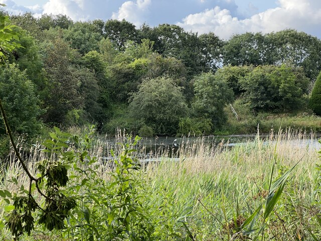
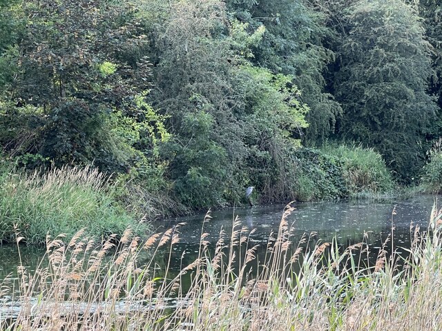
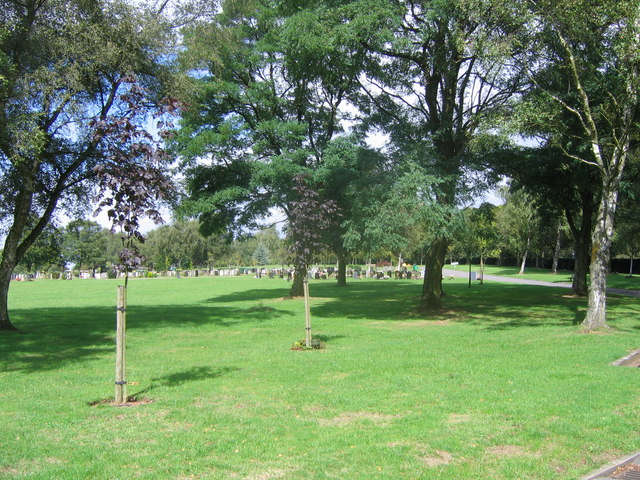
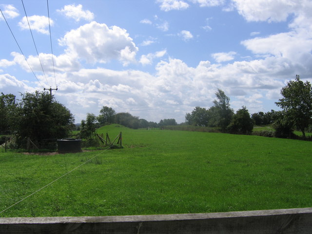
The hill is covered with a mix of vegetation, including grass, shrubs, and scattered trees, creating a picturesque landscape. The surrounding area features a network of footpaths and trails, allowing visitors to explore the hill's natural wonders and enjoy breathtaking views of the Staffordshire countryside.

Beacon Hill also offers various recreational activities to cater to different interests. It is a popular spot for walkers, hikers, and nature enthusiasts who can take advantage of the well-maintained trails to traverse the hill and its surroundings. Additionally, the hill provides an ideal setting for picnics, offering peaceful and scenic spots for families and friends to relax and enjoy the outdoors.

The hill is easily accessible, with car parking facilities available nearby. It is a beloved destination for locals and tourists alike, attracting visitors year-round with its historical significance, natural beauty, and recreational amenities. Whether one seeks a leisurely walk, a historical adventure, or simply a peaceful escape, Beacon Hill in Staffordshire offers something for everyone.

If you have any feedback on the listing, please let us know in the comments section below.
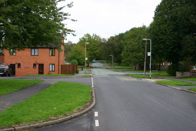
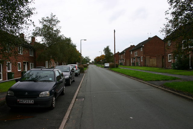
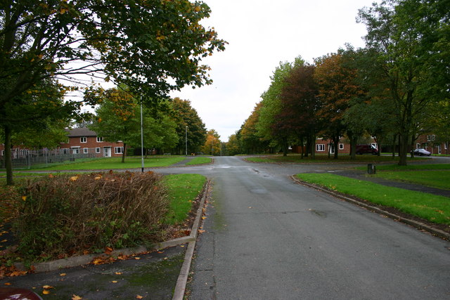
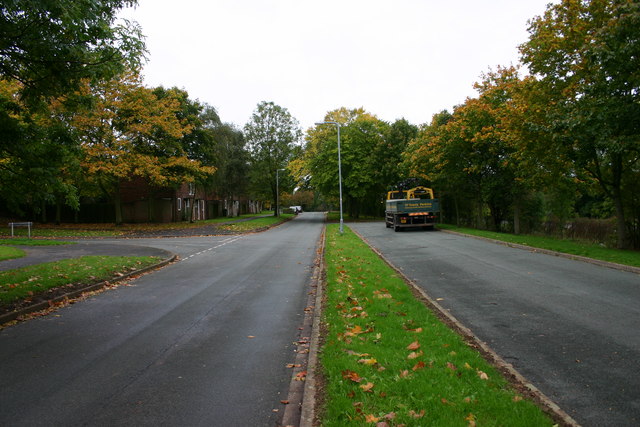
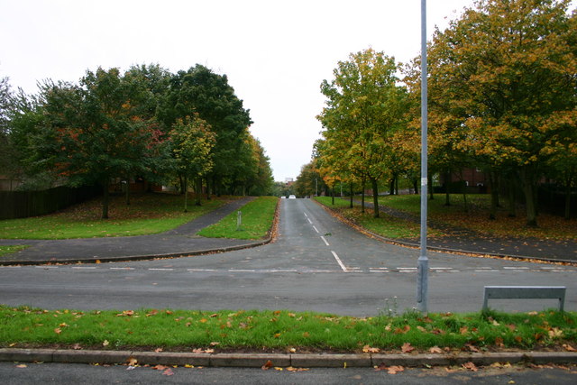
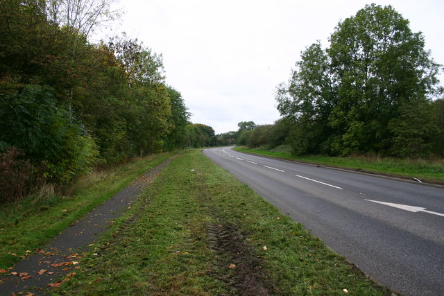
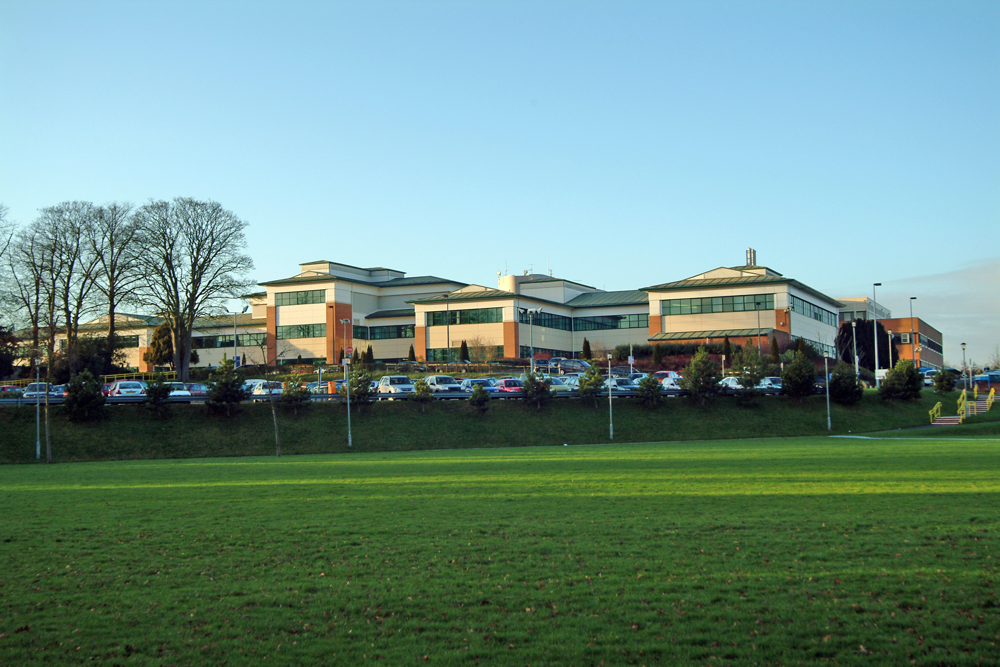
Beacon Hill Images

Images are sourced within 2km of 52.823493/-2.0823938 or Grid Reference SJ9425. Thanks to Geograph Open Source API. All images are credited.

Astonfields Balancing Lakes Spot the Little Egret in the distance bang in the centre of the photo.
Astonfields Balancing Lakes
Spot the Little Egret in the distance bang in the centre of the photo.
Astonfields Balancing Lakes Astonfields Balancing Lakes LNR is situated on the north-eastern edge of Stafford. The primary purpose of the balancing lakes is flood defence, but over the years a series of important wildlife habitats have developed on the site.
The northern lake (marked 'main lake' on the map) is mostly open water with a small amount of emergent vegetation. In contrast, the southern 'lake' contains little open water throughout most of the year. At one end is an extensive reedbed that is dominated by common reed, whilst at the other there is a small area of saltmarsh community flora. The saltmarsh is of particular botanical interest because this type of habitat has been found at only one other location in Staffordshire. Notable saltmarsh species include reflexed saltmarsh grass, lesser sea spurrey, grey club-rush and buttonweed. The Local Nature Reserve covers an area of approximately 4 hectares and is also identified as a grade 1 Site of Biological Importance (SBI).

The area of land where the balancing lakes are located was once wet meadowland, which flooded regularly. Despite the subsequent changes to the area, evidence can still be found of the access routes that were used to move cattle onto the meadows. In particular, a tunnel in the embankment of the old railway line (at the northern edge of the site) can still be seen clearly today. This old railway line, which used to run to Uttoxeter, is now a picturesque cycle route.
Much of the Astonfields Industrial Estate that lies to the west of the balancing lakes was the site of a salt works until the 1960's. The large poplar trees on the eastern edge of the LNR were originally planted by Sandon Road householders to hide this 'eyesore' and to cut out the smoke the works produced.
The salt works extracted natural saline groundwater and heated this to produce salt. The salt-rich waste materials were then deposited nearby. These deposits, together with the saline groundwater itself, are considered to be the reason for the presence of saltmarsh vegetation on this site.
The northern balancing lake was constructed in the late 1970s to help protect Stafford from flooding. In 1990 this lake was dredged and the southern balancing lake was constructed to increase the flood retention capacity of the site.
Astonfields Balancing Lakes
Astonfields Balancing Lakes LNR is situated on the north-eastern edge of Stafford. The primary purpose of the balancing lakes is flood defence, but over the years a series of important wildlife habitats have developed on the site. The northern lake (marked 'main lake' on the map) is mostly open water with a small amount of emergent vegetation. In contrast, the southern 'lake' contains little open water throughout most of the year. At one end is an extensive reedbed that is dominated by common reed, whilst at the other there is a small area of saltmarsh community flora. The saltmarsh is of particular botanical interest because this type of habitat has been found at only one other location in Staffordshire. Notable saltmarsh species include reflexed saltmarsh grass, lesser sea spurrey, grey club-rush and buttonweed. The Local Nature Reserve covers an area of approximately 4 hectares and is also identified as a grade 1 Site of Biological Importance (SBI). The area of land where the balancing lakes are located was once wet meadowland, which flooded regularly. Despite the subsequent changes to the area, evidence can still be found of the access routes that were used to move cattle onto the meadows. In particular, a tunnel in the embankment of the old railway line (at the northern edge of the site) can still be seen clearly today. This old railway line, which used to run to Uttoxeter, is now a picturesque cycle route. Much of the Astonfields Industrial Estate that lies to the west of the balancing lakes was the site of a salt works until the 1960's. The large poplar trees on the eastern edge of the LNR were originally planted by Sandon Road householders to hide this 'eyesore' and to cut out the smoke the works produced. The salt works extracted natural saline groundwater and heated this to produce salt. The salt-rich waste materials were then deposited nearby. These deposits, together with the saline groundwater itself, are considered to be the reason for the presence of saltmarsh vegetation on this site. The northern balancing lake was constructed in the late 1970s to help protect Stafford from flooding. In 1990 this lake was dredged and the southern balancing lake was constructed to increase the flood retention capacity of the site.
Gate Guardian At RAF Stafford
Gate Guardian
At RAF Stafford
Katherine House Hospice Hospice in Stafford, preparing for charity bike ride.
Katherine House Hospice
Hospice in Stafford, preparing for charity bike ride.
County Showground Taken during the Staffordshire Show
County Showground
Taken during the Staffordshire Show
Wilmorehill Lane, Hopton
Hopton Church Dedicated to St. Peter
Hopton Church
Dedicated to St. Peter
Stafford fire station Stafford fire station, Beaconside, Stafford, Staffordshire.
Stafford fire station
Stafford fire station, Beaconside, Stafford, Staffordshire.
Stafford Crematorium Stafford Crematorium
Stafford Crematorium
Disappearing railway The railway line from Stafford to Uttoxeter used to cross this field on an embankment and then bridge the road the photographer is standing on. Now all that remains is the grassy mound in the background.
Disappearing railway
The railway line from Stafford to Uttoxeter used to cross this field on an embankment and then bridge the road the photographer is standing on. Now all that remains is the grassy mound in the background.
Road to crematorium The road leads from the crematorium down to the junction with the Stafford - Uttoxeter road (just out of sight).
Road to crematorium
The road leads from the crematorium down to the junction with the Stafford - Uttoxeter road (just out of sight).
B5066 Sandon Road Stafford Looking out of town along the B5066 with the junction of Fontill Road just on the right.  The houses are all built in the 1930's.
B5066 Sandon Road Stafford
Looking out of town along the B5066 with the junction of Fontill Road just on the right. The houses are all built in the 1930's.
Trenchard Avenue, Stafford Trechard Ave looking downhill, out of town. The housing was originally built for RAF personnell but is now used by hospital staff, private and rented.
Trenchard Avenue, Stafford
Trechard Ave looking downhill, out of town. The housing was originally built for RAF personnell but is now used by hospital staff, private and rented.
Tedder Road, Stafford Tedder Road in Stafford.  The housing used to be for RAF personnel and much of this road still is for military staff although a lot of the housing has gone over to health service workers or private/rented.
Tedder Road, Stafford
Tedder Road in Stafford. The housing used to be for RAF personnel and much of this road still is for military staff although a lot of the housing has gone over to health service workers or private/rented.
Salmond Avenue, Stafford The area used to be housing for RAF staff but is largely sold off to private occupiers or Health Service staff.
Salmond Avenue, Stafford
The area used to be housing for RAF staff but is largely sold off to private occupiers or Health Service staff.
Portal Rd Portal Road, junction with Salmond Avenue, Stafford. Behind the trees to the right is the very busy Beaconside Road next to the 'retired' RAF station.
Portal Rd
Portal Road, junction with Salmond Avenue, Stafford. Behind the trees to the right is the very busy Beaconside Road next to the 'retired' RAF station.
Salmond Avenue, Stafford Salmond Avenue looking up the street - you may just work out the top of the District General Hospital in the background. The road across the foreground is Portal Road.
Salmond Avenue, Stafford
Salmond Avenue looking up the street - you may just work out the top of the District General Hospital in the background. The road across the foreground is Portal Road.
Beaconside looking northwest Beaconside at Stafford. On the left of the bend is Portal Road, access road to what was primarily RAF housing. To the right behind the hedge is RAF Stafford.
Beaconside looking northwest
Beaconside at Stafford. On the left of the bend is Portal Road, access road to what was primarily RAF housing. To the right behind the hedge is RAF Stafford.
Show me another place!

Beacon Hill is located at Grid Ref: SJ9425 (Lat: 52.823493, Lng: -2.0823938)

Administrative County: Staffordshire

District: Stafford

Police Authority: Staffordshire

What 3 Words

///vocal.arts.dish. Near Stafford, Staffordshire

Related Wikis

Hopton, Staffordshire

Hopton is a village in the civil parish of Hopton and Coton and is within the English county of Staffordshire. == Location == The village is on the north...

Weston Road Academy

The Weston Road Academy (formerly Weston Road High School) is an academy school in Stafford, England. It provides secondary and further education for pupils...
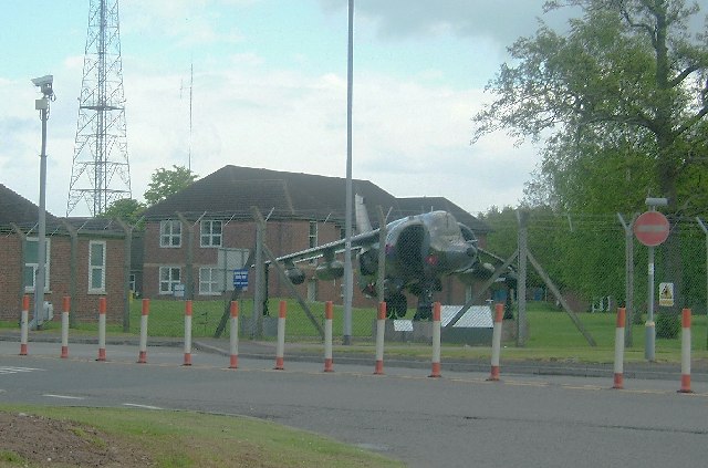
Beacon Barracks

Ministry of Defence Stafford otherwise known as MOD Stafford, Stafford Station or Beacon Barracks is a Ministry of Defence site in Stafford, in England...

RAF Stafford

Royal Air Force Stafford or more simply RAF Stafford was a non-flying Royal Air Force station in Stafford, Staffordshire, England. == History == The station...

Bingley Hall, Stafford

Bingley Hall (also known as New Bingley Hall to distinguish itself from the Bingley Hall in Birmingham) is an exhibition hall located in Stafford, England...

Battle of Hopton Heath

The battle of Hopton Heath was a battle of the First English Civil War, fought on Sunday 19 March 1643 between Parliamentarian forces led by Sir John Gell...

Stafford Hospital scandal

The Stafford Hospital scandal concerns poor care and high mortality rates amongst patients at the Stafford Hospital, Stafford, England, during the first...

County Hospital, Stafford

County Hospital is an acute hospital with less than 200 inpatient beds, opened in 1983. It is the main hospital in Stafford, England. The hospital is managed...

Have you been to Beacon Hill?

Leave your review of Beacon Hill below (or comments, questions and feedback).