South Hill
Hill, Mountain in Gloucestershire Cotswold
England
South Hill
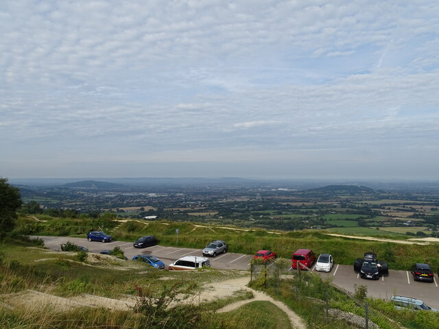
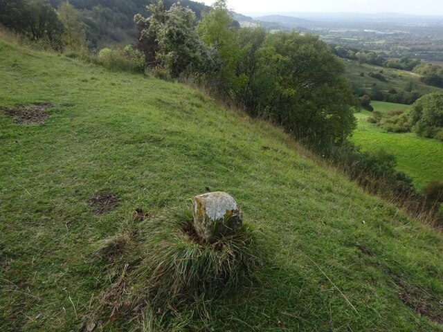
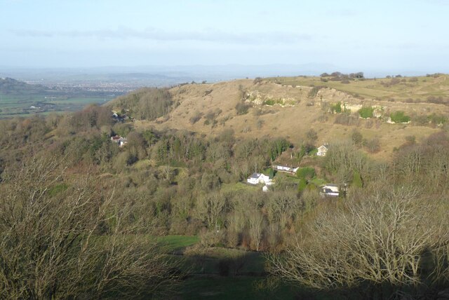
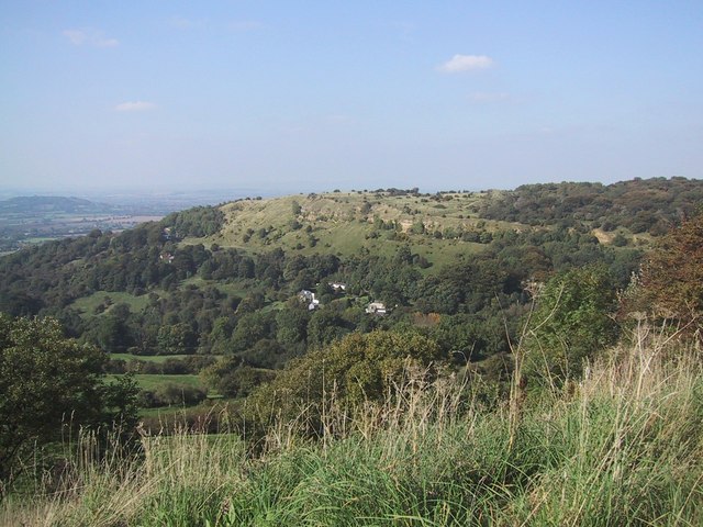
South Hill is a prominent hill located in the county of Gloucestershire, England. Standing at a height of approximately 277 meters (909 feet), it is considered one of the highest points in the county. Situated in the southern part of the Cotswold Hills, South Hill offers breathtaking panoramic views of the surrounding countryside.
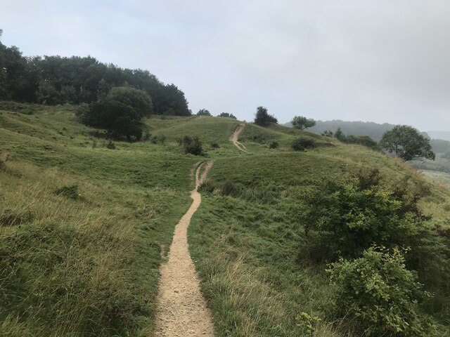
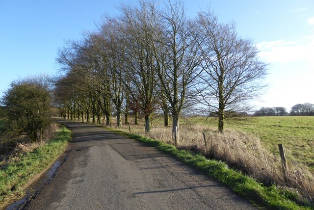
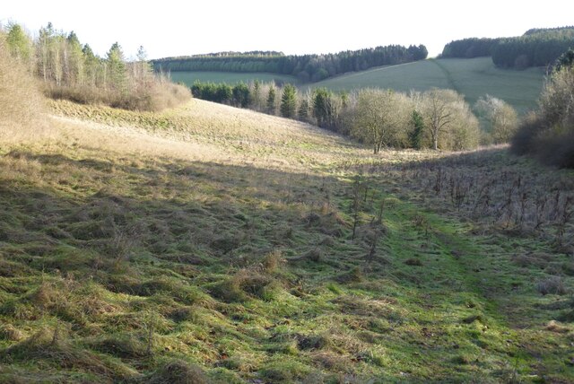
This hill is known for its picturesque and idyllic scenery, featuring rolling green fields, scattered woodlands, and charming rural villages. The area is rich in natural beauty, attracting hikers, nature enthusiasts, and photographers alike. The hill is also home to a variety of wildlife, including deer, rabbits, and numerous bird species.
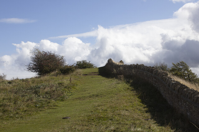
In addition to its natural splendor, South Hill holds historical significance. It is believed to have played a role in ancient times as a beacon hill, where fires were lit to communicate important messages across the region. Today, visitors can still see the remnants of these ancient beacons, providing a glimpse into the area's past.
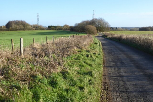
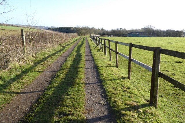
South Hill is a popular destination for outdoor activities such as hiking and cycling, with several well-marked trails and pathways crisscrossing the hillside. These trails offer visitors the opportunity to explore the surrounding countryside and enjoy the peaceful atmosphere.
The hill is easily accessible by both car and foot, with parking available at nearby designated areas. It is also conveniently located within close proximity to several quaint villages, where visitors can find amenities such as shops, cafes, and accommodations.
Overall, South Hill in Gloucestershire is a stunning natural landmark with a rich historical background, offering visitors a chance to immerse themselves in the beauty of the Cotswold countryside.
If you have any feedback on the listing, please let us know in the comments section below.
South Hill Images
Images are sourced within 2km of 51.84066/-2.0806253 or Grid Reference SO9415. Thanks to Geograph Open Source API. All images are credited.


South Hill is located at Grid Ref: SO9415 (Lat: 51.84066, Lng: -2.0806253)
Administrative County: Gloucestershire
District: Cotswold
Police Authority: Gloucestershire
What 3 Words
///professes.moment.cornering. Near Shurdington, Gloucestershire
Nearby Locations
Related Wikis

National Star College
The National Star College (previously known as the Star Centre) is an independent specialist further education college for people with physical disabilities...

The Air Balloon, Birdlip
The Air Balloon is a road junction and former pub in Birdlip, Gloucestershire, England. The junction is on the A417 at a significant congestion point....

Ullenwood
Ullenwood is a village in the Coberley civil parish, near Cheltenham in Gloucestershire. It is the site of a formerly secret civil defence bunker intended...
Crickley Hill and Barrow Wake
Crickley Hill and Barrow Wake (grid reference SO929161 & grid reference SO931154) is a 56.8-hectare (140-acre) biological and geological Site of Special...
Related Videos
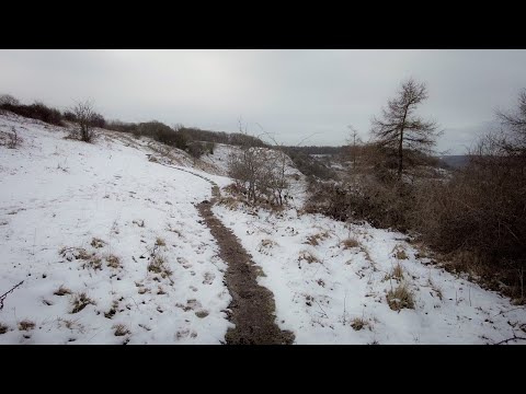
Walking in the English Countryside on the Last of the Winter Snow
So, today we are out and about walking (and a bit of running - not through choice!) in the countryside within the location of Birdlip ...

You Couldn’t make this up, even if you tried 😂 #travel #vanlife #travelblog #motorhome #funny #love
Funny times with the Brummies you couldn't even plan this even if you tried!! #travelvlog #motorhome #vanlife #campervan ...

Crickley hill and Leckhampton hill. Some of the best views in The Cotswolds! A morning walk.
A circular walk from Crickley Hill to Leckhampton Hill and back again. Some of the best views in The Cotswolds. We pass along ...

Cotswold Way Day 3, Cleeve Hill to Birdlip, @caminojohn3240
August 26th, 2022. My walk from Cleeve Hill to Birdlip. The following music was used for this media project: Music: Seven Seas by ...
Nearby Amenities
Located within 500m of 51.84066,-2.0806253Have you been to South Hill?
Leave your review of South Hill below (or comments, questions and feedback).