Pea Hill

Hill, Mountain in Staffordshire Stafford

England

Pea Hill

Upper Burston Bridge near Burston in Staffordshire Upper Burston Bridge is No 86 across the Trent and Mersey Canal. It is an accommodation bridge which also carries a public footpath (and the Two Saints Way).
Upper Burston Bridge near Burston in Staffordshire Credit: Roger Kidd

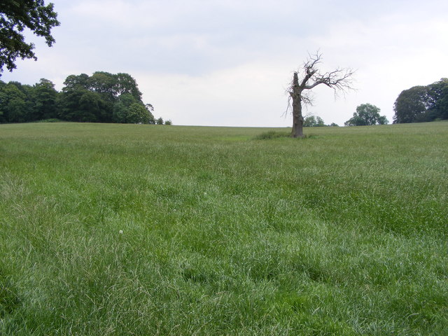
Pea Hill is a modest hill located in the county of Staffordshire, England. It is situated in the southern part of the county, near the town of Lichfield. While not particularly tall or imposing, Pea Hill offers a picturesque landscape and stunning views of the surrounding countryside.

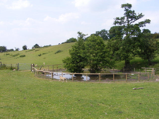
At an elevation of approximately 200 meters (656 feet), Pea Hill is considered a small hill rather than a mountain. Its gentle slopes and grassy terrain make it an ideal spot for leisurely walks and hikes. The hill is covered in lush vegetation, including grasses, wildflowers, and some scattered trees, adding to its natural beauty.

Pea Hill is a popular destination for outdoor enthusiasts, nature lovers, and locals seeking a peaceful retreat. Visitors can explore the area's footpaths and trails, which provide opportunities for walking, jogging, and cycling. As they ascend the hill, they can enjoy panoramic views of the Staffordshire countryside, with its rolling hills, meandering streams, and picturesque farmland.

The hill is also home to a variety of wildlife, including birds, rabbits, and foxes, making it a haven for wildlife enthusiasts and birdwatchers. The peaceful atmosphere and unspoiled nature of Pea Hill attract many visitors seeking tranquility and a break from the hustle and bustle of daily life.

Overall, Pea Hill may not be the tallest or most famous hill in Staffordshire, but its natural beauty, scenic views, and peaceful surroundings make it a hidden gem worth exploring.

If you have any feedback on the listing, please let us know in the comments section below.
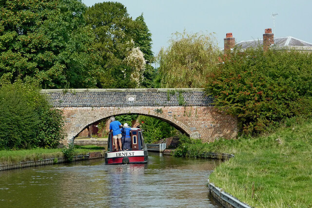
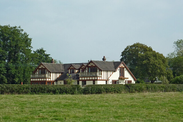
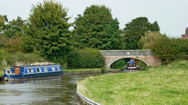
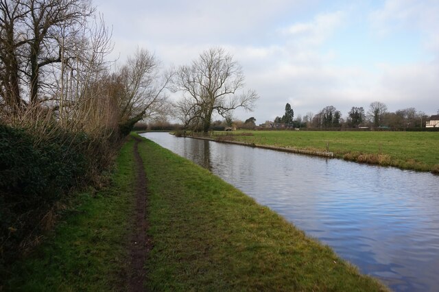
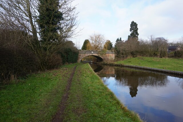
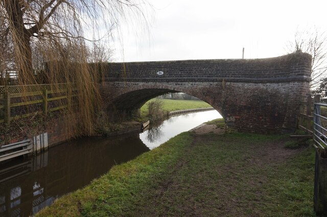
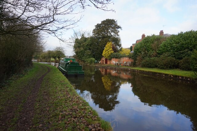
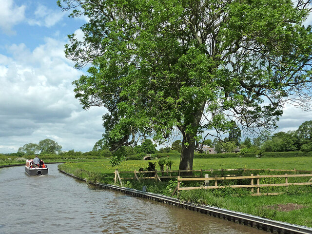
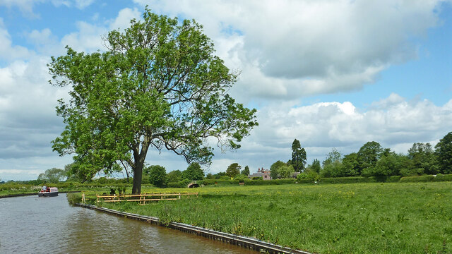
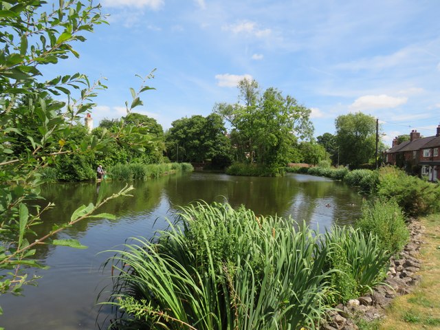
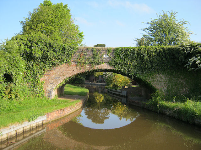
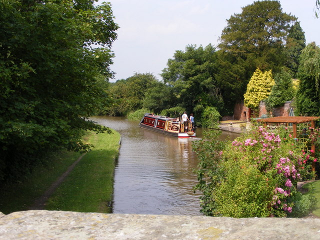
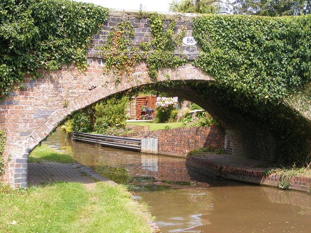
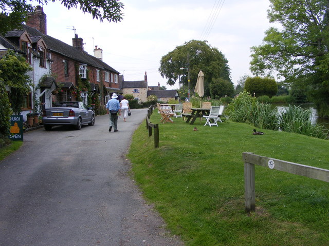
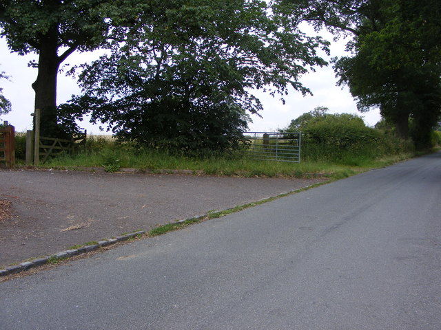
Pea Hill Images

Images are sourced within 2km of 52.855324/-2.0828998 or Grid Reference SJ9428. Thanks to Geograph Open Source API. All images are credited.

Upper Burston Bridge near Burston in Staffordshire Upper Burston Bridge is No 86 across the Trent and Mersey Canal. It is an accommodation bridge which also carries a public footpath (and the Two Saints Way).
Upper Burston Bridge near Burston in Staffordshire
Upper Burston Bridge is No 86 across the Trent and Mersey Canal. It is an accommodation bridge which also carries a public footpath (and the Two Saints Way).
Large house near Burston in Staffordshire This impressive residence is located at the end of Burston Lane, and seen here by looking north-east from the Trent and Mersey Canal.
Large house near Burston in Staffordshire
This impressive residence is located at the end of Burston Lane, and seen here by looking north-east from the Trent and Mersey Canal.
Canal at Upper Burston Bridge near Burston in Staffordshire Upper Burston Bridge is No 86 across the Trent and Mersey Canal. It is an accommodation bridge which also carries a public footpath (and the Two Saints Way).
Canal at Upper Burston Bridge near Burston in Staffordshire
Upper Burston Bridge is No 86 across the Trent and Mersey Canal. It is an accommodation bridge which also carries a public footpath (and the Two Saints Way).
Trent & Mersey Canal towards Bridge #86
Trent & Mersey Canal towards at #86
Trent & Mersey Canal at Bridge #86
Trent & Mersey Canal towards Bridge #87
Canalside pasture near Burston in Staffordshire This is the Trent and Mersey Canal, looking north-west towards Lower Burston Bridge, No 85.
Canalside pasture near Burston in Staffordshire
This is the Trent and Mersey Canal, looking north-west towards Lower Burston Bridge, No 85.
Canalside pasture near Burston in Staffordshire This is the Trent and Mersey Canal west of Burston, looking north-west towards Lower Burston Bridge, No 85.
Canalside pasture near Burston in Staffordshire
This is the Trent and Mersey Canal west of Burston, looking north-west towards Lower Burston Bridge, No 85.
Burston Pond
Burston Pond
Upper Burston Bridge 86 Trent and Mersey Canal near Burston
Upper Burston Bridge 86
Trent and Mersey Canal near Burston
Passing Bridge 86 The view of the Trent and Mersey Canal from the Upper Burston Bridge.
Passing Bridge 86
The view of the Trent and Mersey Canal from the Upper Burston Bridge.
Bridge 86 The view of the Trent and Mersey Canal and the Upper Burston Bridge.
Bridge 86
The view of the Trent and Mersey Canal and the Upper Burston Bridge.
Village Pool Tearoom The view in Burston village.
Village Pool Tearoom
The view in Burston village.
Sandon Lone Tree A view in the Sandon Estate.
Sandon Lone Tree
A view in the Sandon Estate.
Sandon Lane View A footpath joins the Lane to Milwich.
Sandon Lane View
A footpath joins the Lane to Milwich.
Yewtree Farm Sheep The view towards Burston.
Yewtree Farm Sheep
The view towards Burston.
Yewtree Farm Pool The view near Burston.
Yewtree Farm Pool
The view near Burston.
Show me another place!

Pea Hill is located at Grid Ref: SJ9428 (Lat: 52.855324, Lng: -2.0828998)

Administrative County: Staffordshire

District: Stafford

Police Authority: Staffordshire

What 3 Words

///fencing.backdrop.reclining. Near Stafford, Staffordshire

Nearby Locations

Enson Pea Hill Sandonbank

Related Wikis

Sandon railway station

Sandon railway station was a railway station opened by the North Staffordshire Railway to serve the village of Sandon, Staffordshire, England. For some...

Sandon, Staffordshire

Sandon is a village in the civil parish of Sandon and Burston, in the Stafford district, in the county of Staffordshire, England. It is about 4.5 miles...

Sandon Hall

Sandon Hall is a 19th-century country mansion, the seat of the Earl of Harrowby, at Sandon, Staffordshire, 5 miles (8.0 km) northeast of Stafford. It is...

Salt, Staffordshire

Salt is a village in the Borough of Stafford in Staffordshire, England. It is three miles northeast of Stafford situated half a mile southwest of the A51...

Salt and Sandon railway station

Salt and Sandon railway station was a former British railway station opened by the Stafford and Uttoxeter Railway to serve the village of Salt in Staffordshire...

Hopton, Staffordshire

Hopton is a village in the civil parish of Hopton and Coton and is within the English county of Staffordshire. == Location == The village is on the north...

Battle of Hopton Heath

The battle of Hopton Heath was a battle of the First English Civil War, fought on Sunday 19 March 1643 between Parliamentarian forces led by Sir John Gell...

Marston, Milwich

Marston is a village and civil parish 12 miles (19 km) south of Stoke-on-Trent, in the Stafford district, in the county of Staffordshire, England. In 2011...

Nearby Amenities

Located within 500m of 52.855324,-2.0828998
Seamark Type: gate
Waterway: lock_gate
Lat/Long: 52.8587965/-2.0810436
Seamark Type: gate
Waterway: lock_gate
Lat/Long: 52.8589238/-2.0813388
Noexit: yes
Lat/Long: 52.858932/-2.0819518
Power: pole
Lat/Long: 52.8537435/-2.0779657
Power: pole
Lat/Long: 52.8541454/-2.0793224
Power: pole
Lat/Long: 52.8539547/-2.0814693
Power: pole
Lat/Long: 52.8537766/-2.0834326
Power: pole
Lat/Long: 52.8535822/-2.0860907
Power: pole
Lat/Long: 52.8527805/-2.0864743
Power: pole
Lat/Long: 52.8517892/-2.0869571
Power: pole
Lat/Long: 52.8519198/-2.0875017
The data included in this document is from www.openstreetmap.org. The data is made available under ODbL.

Have you been to Pea Hill?

Leave your review of Pea Hill below (or comments, questions and feedback).