Sandonbank
Settlement in Staffordshire Stafford
England
Sandonbank
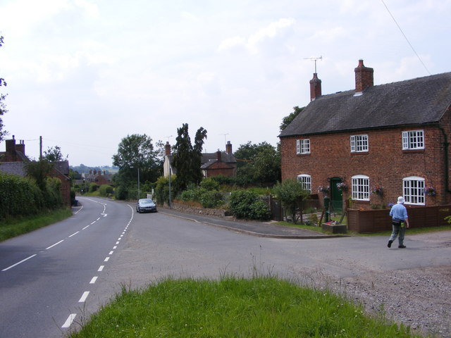
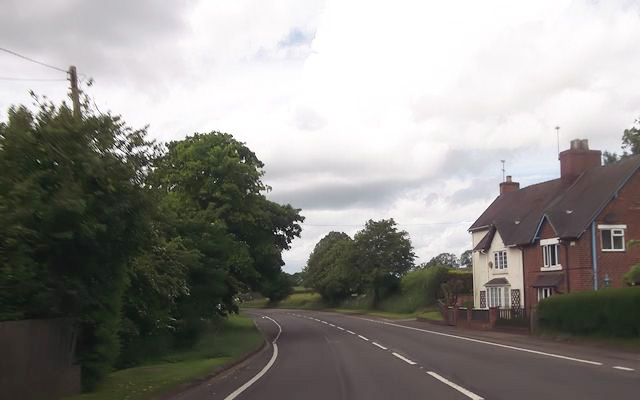
Sandonbank is a small village located in the county of Staffordshire, England. Situated approximately 7 miles northeast of Stafford, it is nestled in a rural area known for its picturesque countryside and charming villages.
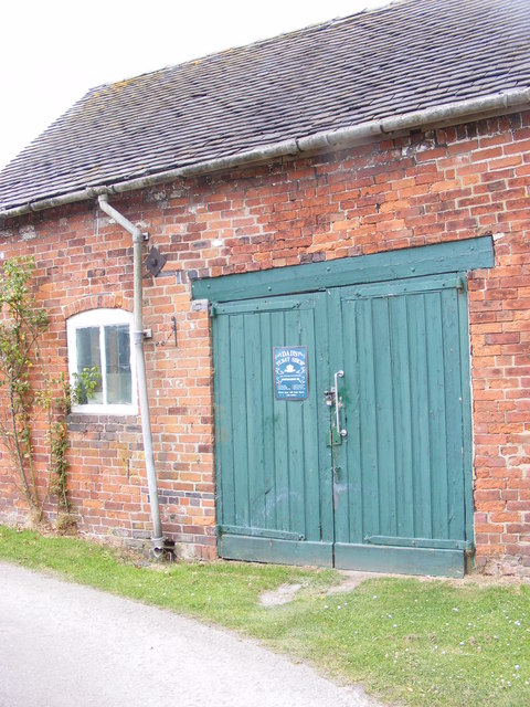
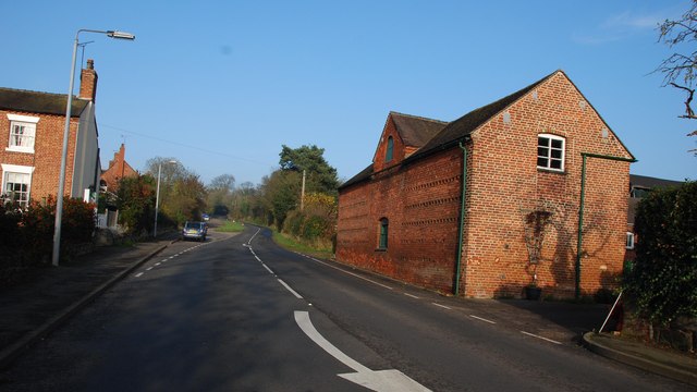
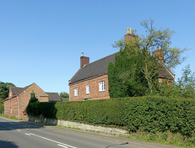
The village of Sandonbank is characterized by its quaint and tranquil atmosphere. It consists of a small cluster of houses, most of which are traditional in style and built with local materials such as red brick and timber. The local architecture reflects the village's rich history, with some buildings dating back several centuries.
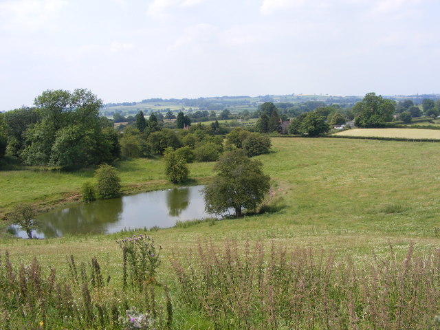
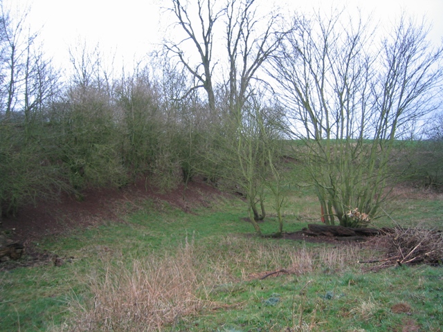
Sandonbank is surrounded by beautiful natural landscapes, with rolling hills, meadows, and woodland areas nearby. The village benefits from its proximity to the River Trent, which flows just a short distance away, offering opportunities for leisurely walks and fishing.
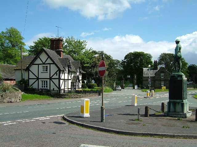
Although small in size, Sandonbank has a strong sense of community spirit. The village is home to a small but friendly population who often come together for various social events and activities. The village also has a local pub, providing a meeting place for residents and visitors alike.
The village is well-served by road connections, with the A51 running nearby and providing easy access to Stafford and other nearby towns and cities. Public transportation options are limited, with infrequent bus services being the main means of travel.
Overall, Sandonbank is a charming and peaceful village, offering its residents a relaxed rural lifestyle in a beautiful setting.
If you have any feedback on the listing, please let us know in the comments section below.
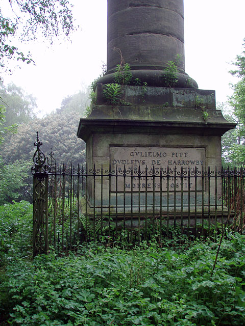
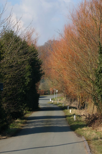
Sandonbank Images
Images are sourced within 2km of 52.851248/-2.083868 or Grid Reference SJ9428. Thanks to Geograph Open Source API. All images are credited.


Sandonbank is located at Grid Ref: SJ9428 (Lat: 52.851248, Lng: -2.083868)
Administrative County: Staffordshire
District: Stafford
Police Authority: Staffordshire
What 3 Words
///strikers.fatter.epic. Near Stafford, Staffordshire
Nearby Locations
Related Wikis

Sandon railway station
Sandon railway station was a railway station opened by the North Staffordshire Railway to serve the village of Sandon, Staffordshire, England. For some...

Salt, Staffordshire
Salt is a village in the Borough of Stafford in Staffordshire, England. It is three miles northeast of Stafford situated half a mile southwest of the A51...

Salt and Sandon railway station
Salt and Sandon railway station was a former British railway station opened by the Stafford and Uttoxeter Railway to serve the village of Salt in Staffordshire...

Sandon, Staffordshire
Sandon is a village in the civil parish of Sandon and Burston, in the Stafford district, in the county of Staffordshire, England. It is about 4.5 miles...

Sandon Hall
Sandon Hall is a 19th-century country mansion, the seat of the Earl of Harrowby, at Sandon, Staffordshire, 5 miles (8.0 km) northeast of Stafford. It is...

Hopton, Staffordshire
Hopton is a village in the civil parish of Hopton and Coton and is within the English county of Staffordshire. == Location == The village is on the north...

Battle of Hopton Heath
The battle of Hopton Heath was a battle of the First English Civil War, fought on Sunday 19 March 1643 between Parliamentarian forces led by Sir John Gell...

Marston, Milwich
Marston is a village and civil parish 12 miles (19 km) south of Stoke-on-Trent, in the Stafford district, in the county of Staffordshire, England. In 2011...
Nearby Amenities
Located within 500m of 52.851248,-2.083868Have you been to Sandonbank?
Leave your review of Sandonbank below (or comments, questions and feedback).