Enson

Settlement in Staffordshire Stafford

England

Enson

Long Meadow Bridge near Burston in Staffordshire This is the Trent and Mersey Canal, looking north-north-west towards Long Meadow Bridge, No 87. It is an accommodation bridge with no public right of way across it or into adjacent fields.
Long Meadow Bridge near Burston in Staffordshire Credit: Roger Kidd

Enson is a small village located in the county of Staffordshire, England. Situated in the West Midlands region, it is nestled within the beautiful countryside, offering residents and visitors a peaceful and picturesque environment.

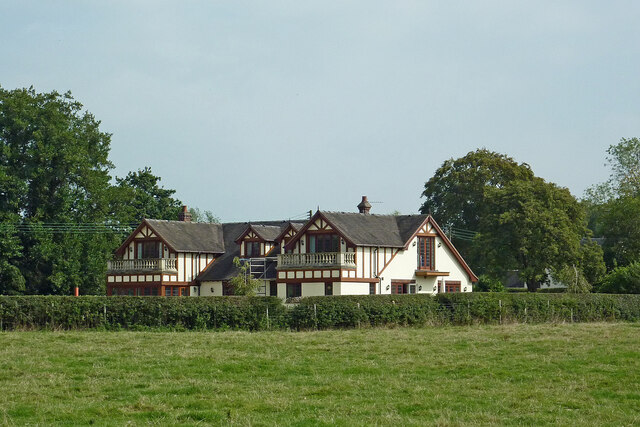
Enson has a rich history, with traces of its existence dating back to medieval times. The village is known for its charming architectural heritage, featuring traditional stone-built houses, giving it a quintessential English village feel. The local church, St. Mary's, is a prominent landmark, displaying stunning medieval architecture and serving as a significant religious and cultural hub for the community.

Despite its small size, Enson benefits from a close-knit and friendly community. The village boasts a range of amenities to cater to the needs of its residents, including a local pub, a village hall, and a primary school. These facilities provide opportunities for socializing and community engagement.

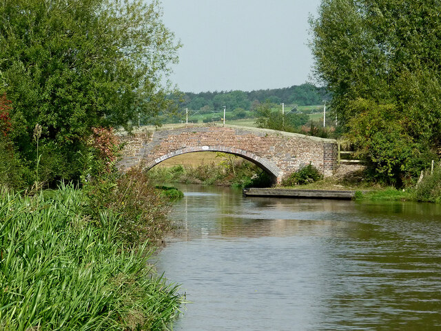
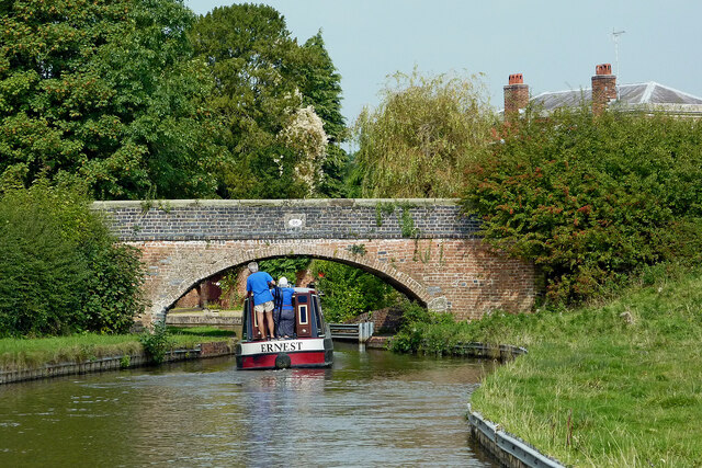
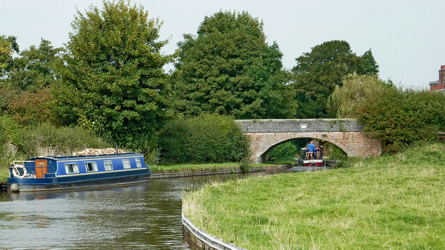
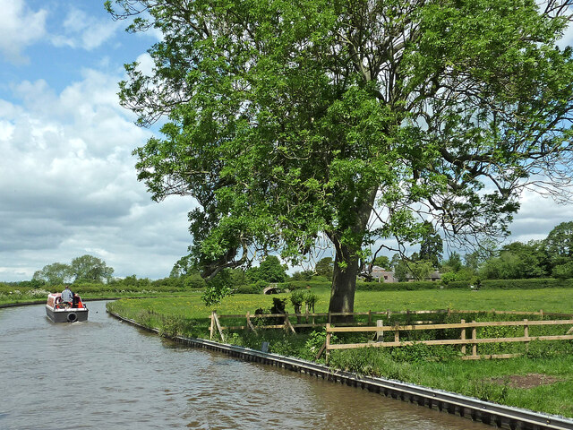
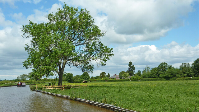
Nature lovers will find Enson particularly appealing due to its proximity to the Staffordshire countryside. The village is surrounded by rolling hills, picturesque meadows, and scenic walking trails, making it an ideal location for outdoor activities such as hiking, cycling, and exploring nature.

Enson's strategic location also offers easy access to nearby towns and cities. The bustling city of Stafford is only a short drive away, providing residents with a wider range of amenities, including shopping centers, restaurants, and leisure facilities.

In conclusion, Enson is a charming village in Staffordshire, offering a peaceful and close-knit community, beautiful countryside scenery, and easy access to nearby towns and cities.

If you have any feedback on the listing, please let us know in the comments section below.
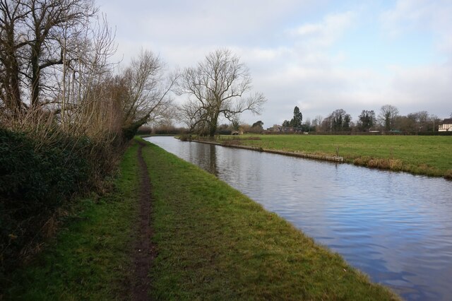
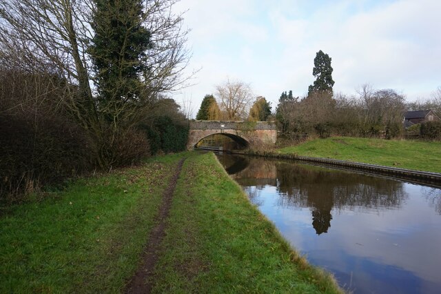
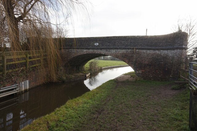
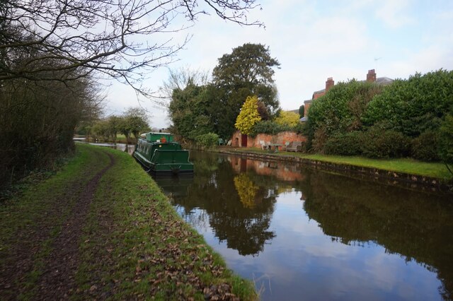
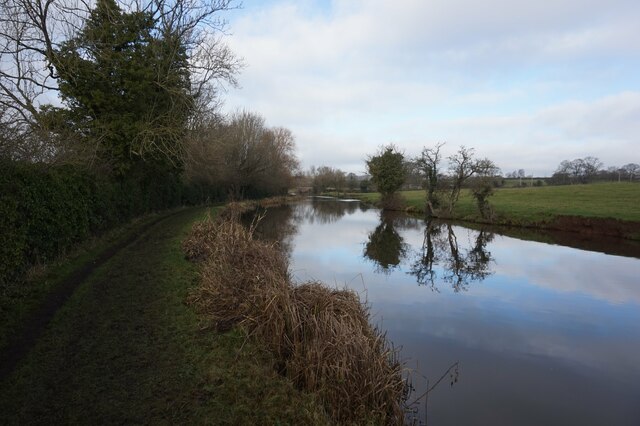
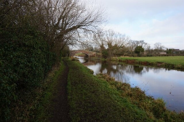
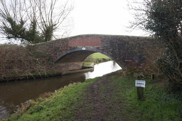
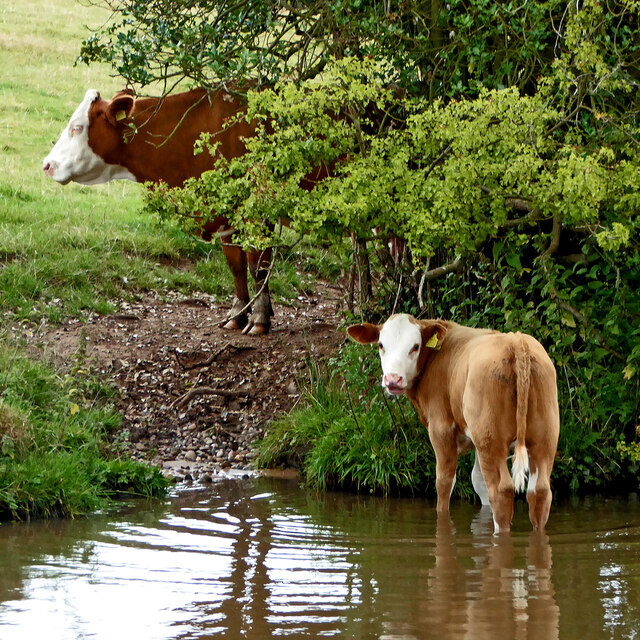
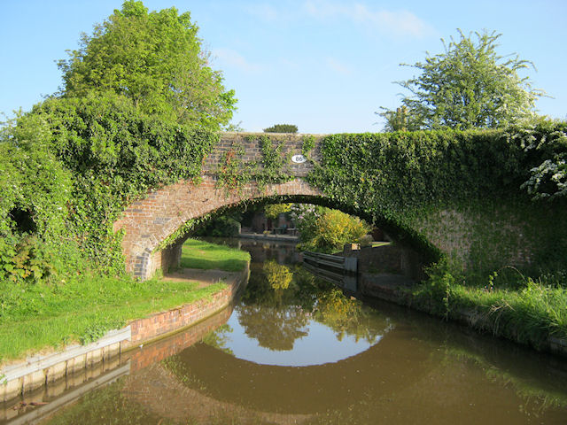
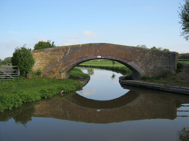
Enson Images

Images are sourced within 2km of 52.857/-2.0889623 or Grid Reference SJ9428. Thanks to Geograph Open Source API. All images are credited.

Long Meadow Bridge near Burston in Staffordshire This is the Trent and Mersey Canal, looking north-north-west towards Long Meadow Bridge, No 87. It is an accommodation bridge with no public right of way across it or into adjacent fields.
Long Meadow Bridge near Burston in Staffordshire
This is the Trent and Mersey Canal, looking north-north-west towards Long Meadow Bridge, No 87. It is an accommodation bridge with no public right of way across it or into adjacent fields.
Upper Burston Bridge near Burston in Staffordshire Upper Burston Bridge is No 86 across the Trent and Mersey Canal. It is an accommodation bridge which also carries a public footpath (and the Two Saints Way).
Upper Burston Bridge near Burston in Staffordshire
Upper Burston Bridge is No 86 across the Trent and Mersey Canal. It is an accommodation bridge which also carries a public footpath (and the Two Saints Way).
Large house near Burston in Staffordshire This impressive residence is located at the end of Burston Lane, and seen here by looking north-east from the Trent and Mersey Canal.
Large house near Burston in Staffordshire
This impressive residence is located at the end of Burston Lane, and seen here by looking north-east from the Trent and Mersey Canal.
Canal at Upper Burston Bridge near Burston in Staffordshire Upper Burston Bridge is No 86 across the Trent and Mersey Canal. It is an accommodation bridge which also carries a public footpath (and the Two Saints Way).
Canal at Upper Burston Bridge near Burston in Staffordshire
Upper Burston Bridge is No 86 across the Trent and Mersey Canal. It is an accommodation bridge which also carries a public footpath (and the Two Saints Way).
Trent & Mersey Canal towards Bridge #86
Trent & Mersey Canal towards at #86
Trent & Mersey Canal at Bridge #86
Trent & Mersey Canal towards Bridge #87
Trent & Mersey Canal at Bridge #87
Children love to have a paddle  ... while Mom watches on nearby.

Cattle by the Trent and Mersey canal west of Burston in Staffordshire.
Children love to have a paddle
... while Mom watches on nearby. Cattle by the Trent and Mersey canal west of Burston in Staffordshire.
Canalside pasture near Burston in Staffordshire This is the Trent and Mersey Canal, looking north-west towards Lower Burston Bridge, No 85.
Canalside pasture near Burston in Staffordshire
This is the Trent and Mersey Canal, looking north-west towards Lower Burston Bridge, No 85.
Canalside pasture near Burston in Staffordshire This is the Trent and Mersey Canal west of Burston, looking north-west towards Lower Burston Bridge, No 85.
Canalside pasture near Burston in Staffordshire
This is the Trent and Mersey Canal west of Burston, looking north-west towards Lower Burston Bridge, No 85.
Butterhill Farm
Butterhill Farm
Burston Pond
Burston Pond
Upper Burston Bridge 86 Trent and Mersey Canal near Burston
Upper Burston Bridge 86
Trent and Mersey Canal near Burston
Long Meadow Bridge 87 Trent and Mersey Canal, south of Stone
Long Meadow Bridge 87
Trent and Mersey Canal, south of Stone
Show me another place!

Enson is located at Grid Ref: SJ9428 (Lat: 52.857, Lng: -2.0889623)

Administrative County: Staffordshire

District: Stafford

Police Authority: Staffordshire

What 3 Words

///leaned.dashes.cement. Near Stafford, Staffordshire

Nearby Locations

Enson Pea Hill Sandonbank

Related Wikis

Sandon railway station

Sandon railway station was a railway station opened by the North Staffordshire Railway to serve the village of Sandon, Staffordshire, England. For some...

Sandon, Staffordshire

Sandon is a village in the civil parish of Sandon and Burston, in the Stafford district, in the county of Staffordshire, England. It is about 4.5 miles...

Sandon Hall

Sandon Hall is a 19th-century country mansion, the seat of the Earl of Harrowby, at Sandon, Staffordshire, 5 miles (8.0 km) northeast of Stafford. It is...

Salt, Staffordshire

Salt is a village in the Borough of Stafford in Staffordshire, England. It is three miles northeast of Stafford situated half a mile southwest of the A51...

Salt and Sandon railway station

Salt and Sandon railway station was a former British railway station opened by the Stafford and Uttoxeter Railway to serve the village of Salt in Staffordshire...

Marston, Milwich

Marston is a village and civil parish 12 miles (19 km) south of Stoke-on-Trent, in the Stafford district, in the county of Staffordshire, England. In 2011...

Hopton, Staffordshire

Hopton is a village in the civil parish of Hopton and Coton and is within the English county of Staffordshire. == Location == The village is on the north...

Yarlet School

Yarlet School, formerly Yarlet Hall, is a coeducational preparatory school located in the district of Yarlet, 3 miles (4.8 km) north of the county town...

Nearby Amenities

Located within 500m of 52.857,-2.0889623
Waterway: turning_point
Lat/Long: 52.8598393/-2.0832395
Turning Circle
Lat/Long: 52.8595802/-2.094377
Power: pole
Lat/Long: 52.8535822/-2.0860907
Power: pole
Lat/Long: 52.8527805/-2.0864743
Noexit: yes
Lat/Long: 52.8597845/-2.0947711
The data included in this document is from www.openstreetmap.org. The data is made available under ODbL.

Have you been to Enson?

Leave your review of Enson below (or comments, questions and feedback).