Hopton and Coton

Civil Parish in Staffordshire Stafford

England

Hopton and Coton

Gate Guardian At RAF Stafford
Gate Guardian Credit: Andy and Hilary

Hopton and Coton is a civil parish located in the county of Staffordshire, England. It is situated approximately 4 miles east of the town of Stafford and covers an area of around 10 square miles. The parish is primarily rural in nature, characterized by rolling hills, farmland, and scattered residential properties.

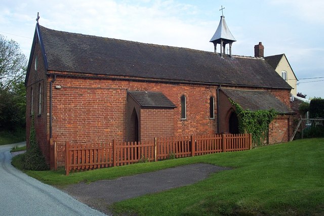
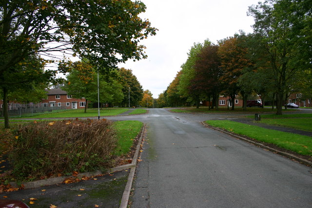
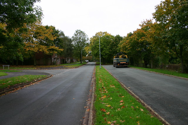
The parish consists of two main settlements: Hopton and Coton. Hopton is a small village located in the northern part of the parish, while Coton is a hamlet situated in the southern part. Both settlements are predominantly residential, with a mix of traditional stone-built cottages and more modern houses.

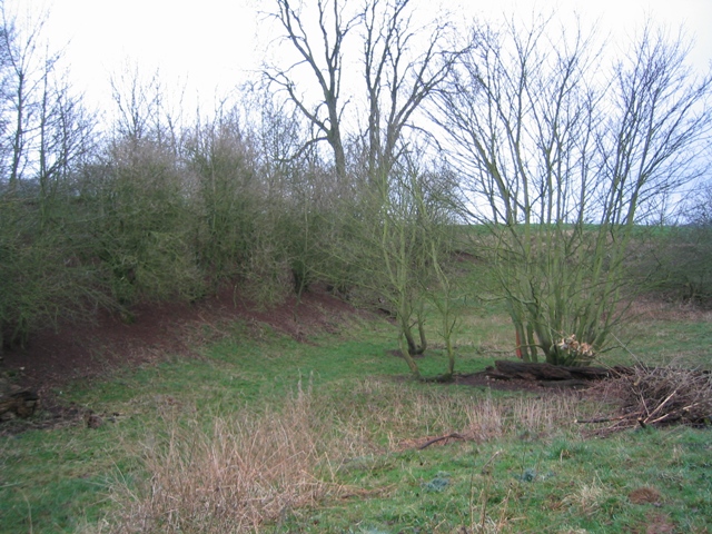
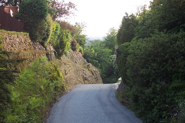
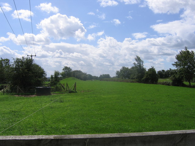
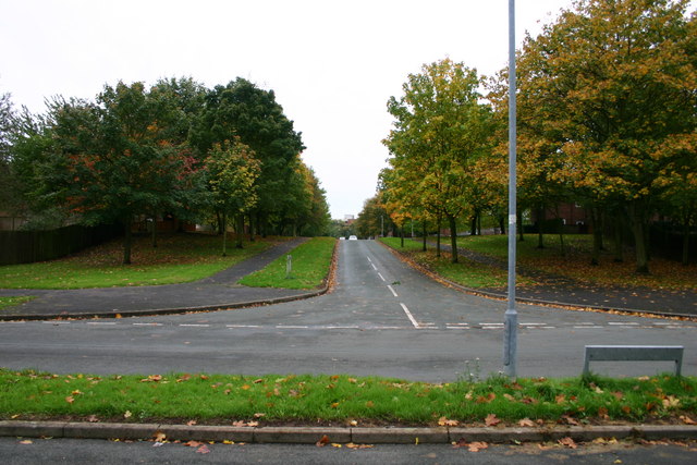
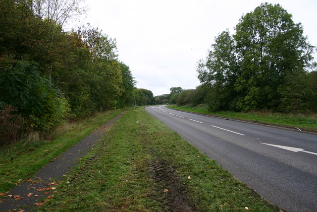
The area is known for its picturesque countryside and offers a peaceful retreat from the nearby urban areas. It is surrounded by natural beauty, including woodlands, fields, and meandering streams. The landscape is ideal for outdoor activities such as hiking, cycling, and horse riding.

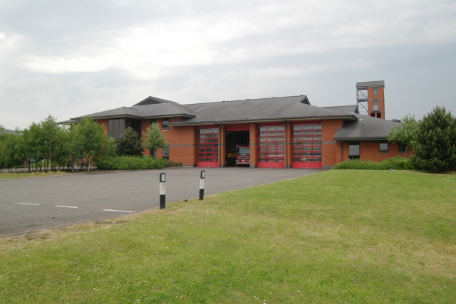
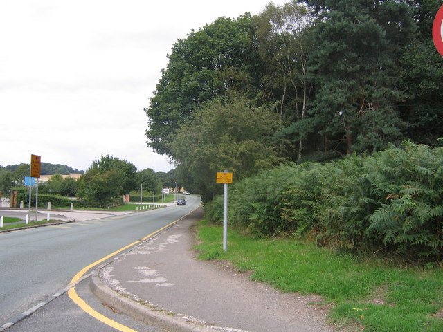
Despite its rural setting, Hopton and Coton benefits from good transportation links. The A518 road runs through the parish, providing easy access to nearby towns and cities. The vibrant town of Stafford is just a short drive away, offering a range of amenities including shopping centers, restaurants, and recreational facilities.

The parish has a strong sense of community, with various local events and activities taking place throughout the year. It also boasts a primary school, providing education for children in the area.

In summary, Hopton and Coton is a charming civil parish in Staffordshire, offering a tranquil countryside setting with convenient access to nearby amenities. Its rural beauty and strong community spirit make it an attractive place to live or visit.

If you have any feedback on the listing, please let us know in the comments section below.

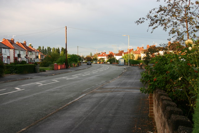
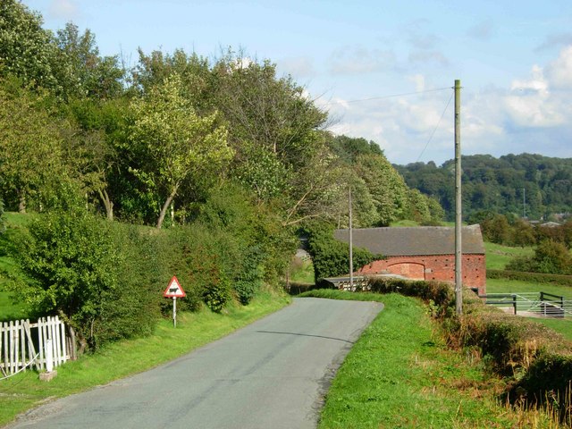
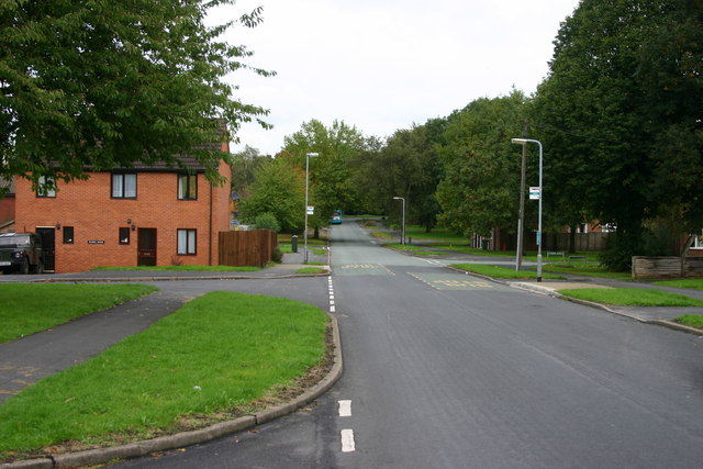
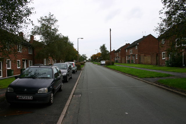
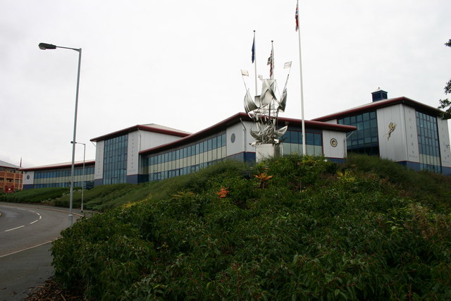
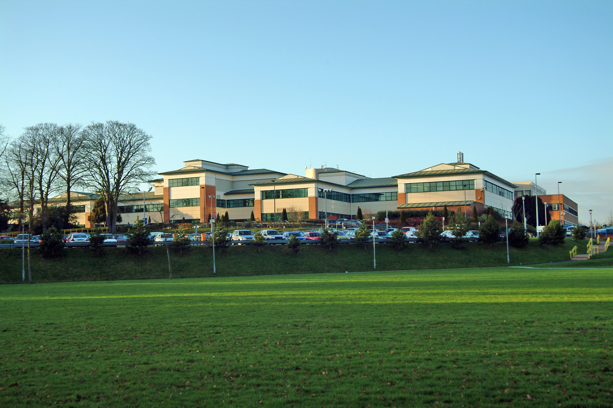
Hopton and Coton Images

Images are sourced within 2km of 52.827813/-2.082042 or Grid Reference SJ9425. Thanks to Geograph Open Source API. All images are credited.

Gate Guardian At RAF Stafford
Gate Guardian
At RAF Stafford
Marl Hole Kents Barn Farm, Nr. Stafford
Marl Hole
Kents Barn Farm, Nr. Stafford
County Showground Taken during the Staffordshire Show
County Showground
Taken during the Staffordshire Show
Wilmorehill Lane, Hopton
Hopton Church Dedicated to St. Peter
Hopton Church
Dedicated to St. Peter
Stafford fire station Stafford fire station, Beaconside, Stafford, Staffordshire.
Stafford fire station
Stafford fire station, Beaconside, Stafford, Staffordshire.
Disappearing railway The railway line from Stafford to Uttoxeter used to cross this field on an embankment and then bridge the road the photographer is standing on. Now all that remains is the grassy mound in the background.
Disappearing railway
The railway line from Stafford to Uttoxeter used to cross this field on an embankment and then bridge the road the photographer is standing on. Now all that remains is the grassy mound in the background.
Road to crematorium The road leads from the crematorium down to the junction with the Stafford - Uttoxeter road (just out of sight).
Road to crematorium
The road leads from the crematorium down to the junction with the Stafford - Uttoxeter road (just out of sight).
B5066 Sandon Road Stafford Looking out of town along the B5066 with the junction of Fontill Road just on the right.  The houses are all built in the 1930's.
B5066 Sandon Road Stafford
Looking out of town along the B5066 with the junction of Fontill Road just on the right. The houses are all built in the 1930's.
Road to Salt Looking along the lane leading from the B5066 to Salt village.
Road to Salt
Looking along the lane leading from the B5066 to Salt village.
Trenchard Avenue, Stafford Trechard Ave looking downhill, out of town. The housing was originally built for RAF personnell but is now used by hospital staff, private and rented.
Trenchard Avenue, Stafford
Trechard Ave looking downhill, out of town. The housing was originally built for RAF personnell but is now used by hospital staff, private and rented.
Tedder Road, Stafford Tedder Road in Stafford.  The housing used to be for RAF personnel and much of this road still is for military staff although a lot of the housing has gone over to health service workers or private/rented.
Tedder Road, Stafford
Tedder Road in Stafford. The housing used to be for RAF personnel and much of this road still is for military staff although a lot of the housing has gone over to health service workers or private/rented.
Salmond Avenue, Stafford The area used to be housing for RAF staff but is largely sold off to private occupiers or Health Service staff.
Salmond Avenue, Stafford
The area used to be housing for RAF staff but is largely sold off to private occupiers or Health Service staff.
Portal Rd Portal Road, junction with Salmond Avenue, Stafford. Behind the trees to the right is the very busy Beaconside Road next to the 'retired' RAF station.
Portal Rd
Portal Road, junction with Salmond Avenue, Stafford. Behind the trees to the right is the very busy Beaconside Road next to the 'retired' RAF station.
Salmond Avenue, Stafford Salmond Avenue looking up the street - you may just work out the top of the District General Hospital in the background. The road across the foreground is Portal Road.
Salmond Avenue, Stafford
Salmond Avenue looking up the street - you may just work out the top of the District General Hospital in the background. The road across the foreground is Portal Road.
Beaconside looking northwest Beaconside at Stafford. On the left of the bend is Portal Road, access road to what was primarily RAF housing. To the right behind the hedge is RAF Stafford.
Beaconside looking northwest
Beaconside at Stafford. On the left of the bend is Portal Road, access road to what was primarily RAF housing. To the right behind the hedge is RAF Stafford.
Beaconside looking towards the A518, Stafford Beaconside looking towards the A518, Stafford. In the distance can be seen the new Stafford Technology park, a very large development bringing lots of businesses and jobs to Stafford.
Beaconside looking towards the A518, Stafford
Beaconside looking towards the A518, Stafford. In the distance can be seen the new Stafford Technology park, a very large development bringing lots of businesses and jobs to Stafford.
Anson House, Stafford Technology Park Anson House, Stafford Technology Park. This is a new business park off Beaconside, Stafford bringing new business and employment to the town. It appears that most of the buildings have a nautical theme of which the stainless steel reflects (another image of the artwork submitted).
Anson House, Stafford Technology Park
Anson House, Stafford Technology Park. This is a new business park off Beaconside, Stafford bringing new business and employment to the town. It appears that most of the buildings have a nautical theme of which the stainless steel reflects (another image of the artwork submitted).
Show me another place!

Hopton and Coton is located at Grid Ref: SJ9425 (Lat: 52.827813, Lng: -2.082042)

Administrative County: Staffordshire

District: Stafford

Police Authority: Staffordshire

What 3 Words

///payer.scale.await. Near Stafford, Staffordshire

Related Wikis

Hopton, Staffordshire

Hopton is a village in the civil parish of Hopton and Coton and is within the English county of Staffordshire. == Location == The village is on the north...

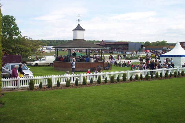
Bingley Hall, Stafford

Bingley Hall (also known as New Bingley Hall to distinguish itself from the Bingley Hall in Birmingham) is an exhibition hall located in Stafford, England...
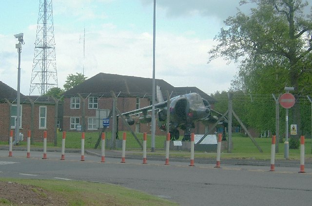
Beacon Barracks

Ministry of Defence Stafford otherwise known as MOD Stafford, Stafford Station or Beacon Barracks is a Ministry of Defence site in Stafford, in England...

RAF Stafford

Royal Air Force Stafford or more simply RAF Stafford was a non-flying Royal Air Force station in Stafford, Staffordshire, England. == History == The station...

Battle of Hopton Heath

The battle of Hopton Heath was a battle of the First English Civil War, fought on Sunday 19 March 1643 between Parliamentarian forces led by Sir John Gell...

Weston Road Academy

The Weston Road Academy (formerly Weston Road High School) is an academy school in Stafford, England. It provides secondary and further education for pupils...

Stafford Hospital scandal

The Stafford Hospital scandal concerns poor care and high mortality rates amongst patients at the Stafford Hospital, Stafford, England, during the first...

Astonfields Balancing Lakes

Astonfields Balancing Lakes is a local nature reserve on the north-eastern edge of Stafford, in Staffordshire, England. The main purpose of the balancing...

Related Videos

Historic Staffordshire Walk - Holly Bush Salt - Hopton Heath & Tinkerboro

This short 3.5 mile walk starts at the Historic Holly Bush in the Staffordshire village of Salt. The pub is one of the oldest in England ...

Behind the scenes...

A sneak peek behind the scenes of the making of The Sylvan Pet Hotel....from concept to finished facility....this is an insight into the ...

Nearby Amenities

Located within 500m of 52.827813,-2.082042
Hopton Heights
Power: substation
Lat/Long: 52.8309855/-2.0799687
The data included in this document is from www.openstreetmap.org. The data is made available under ODbL.

Have you been to Hopton and Coton?

Leave your review of Hopton and Coton below (or comments, questions and feedback).